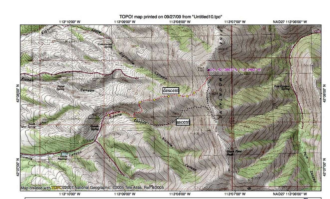
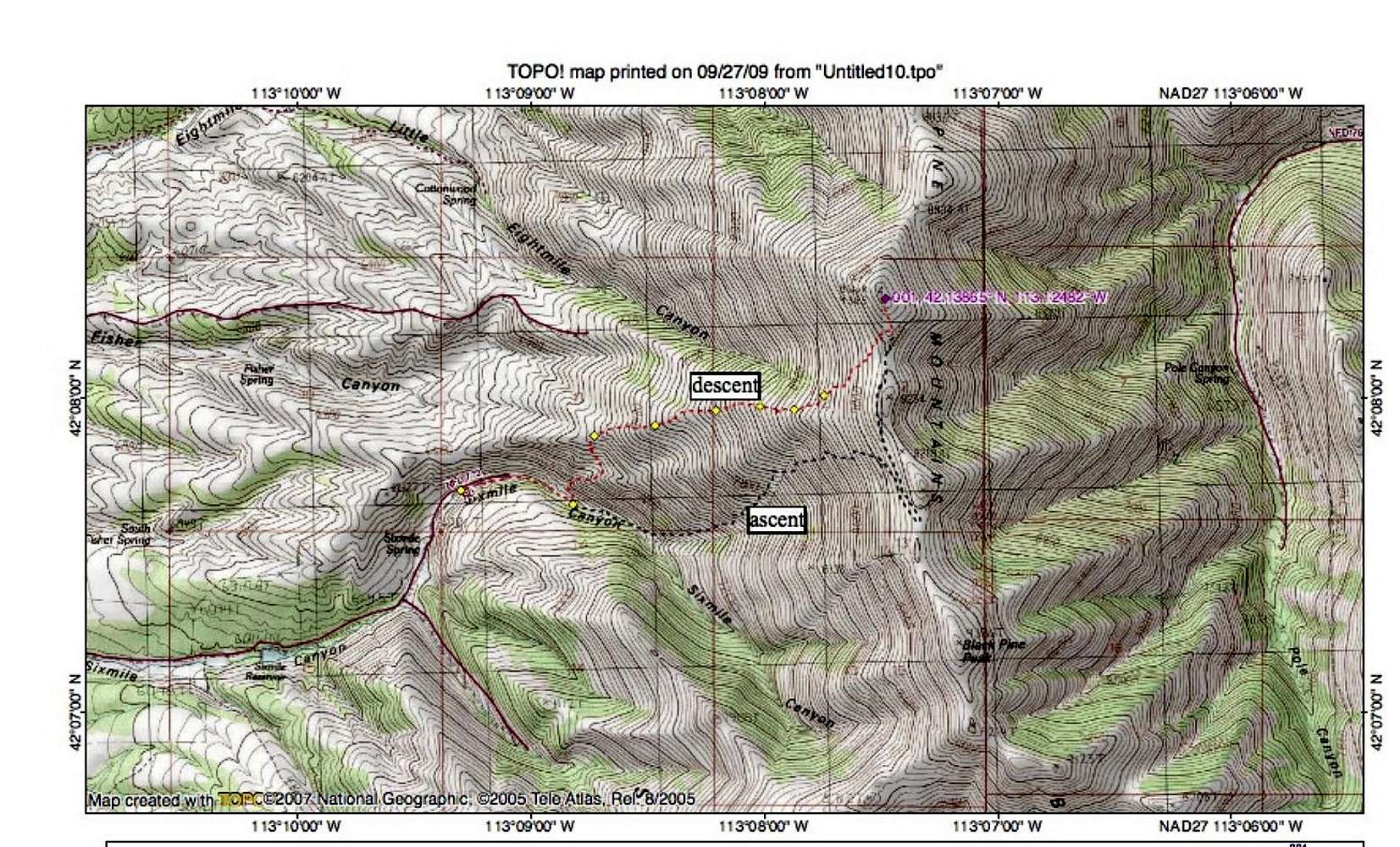
We went up the way as illustrated by the black dashed lines (no existing trail once you leave the ATV road). We found the best way on the way down as shown by the red dashed lines and the yellow diamonds. The yellow diamonds represent GPS waypoints taken during the descent.


