Toggle navigation
Mountains
Routes
Images
Trip Reports
Forum
What's New
People
Areas & Ranges
Articles
Trailheads
Canyons
Huts & Campgrounds
Albums
Logistical Centers
Fact Sheets
Lists
Custom Objects
Gear
Plans & Partners
WELCOME TO SUMMITPOST
SIGN IN
REGISTER
The Holy Grail
Additional Parents
My Google Earth Images
Image
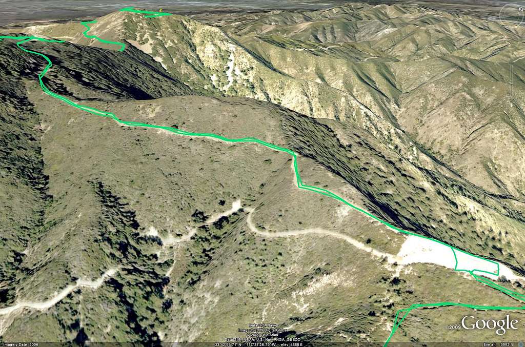
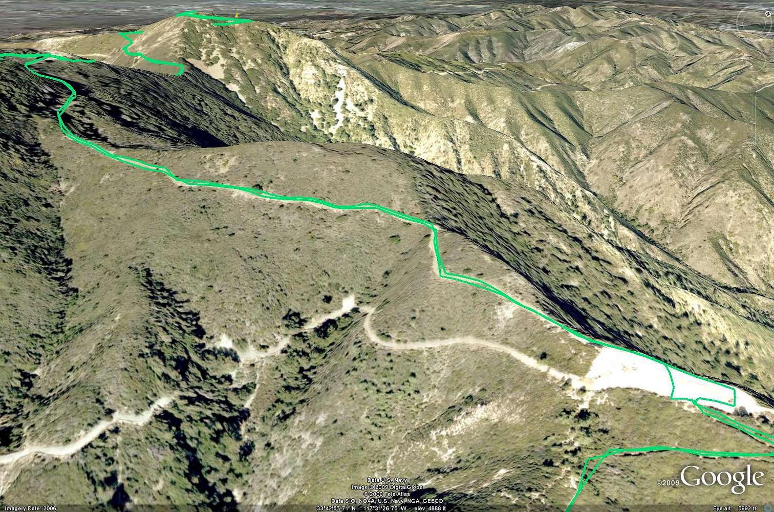
Santiago and Modjeska Peak - Google Earth Part 4
View High-Resolution Image
Santiago and Modjeska Peak - Google Earth Part 4
Google Earth rendition of the Main Divide Road from the end of the Upper Holy Jim Trail leading west towards Santiago Peak.
« PREV
NEXT »
SoCalHiker
on
Apr 3, 2009 10:13 pm
Comments & voting
Other parents
Image Type(s):
Topo/Diagram
Image ID:
503627
1121 Hits
71.06
% Score
1
Votes
Log in to vote
Comments
No comments posted yet.
to post!
Don't have an account?
The Holy Grail
(Trip Report)
« PREV
Viewing
#21 of 22
GALLERY
NEXT »
SoCalHiker's Image Gallery
« PREV
Viewing
#3472 of 3483
GALLERY
NEXT »
My Google Earth Images
(Album)
Loading....
×
You need to login in order to vote!
User Name
Password
Remember me
Forgot your password?
Log me out when I close my browser.
Keep me logged in all the time.
sign in as a user
Don't have an account?
Register now for FREE
Rating available
Suggested routes for you
People who climb the same things as you
Comments Available
Create Albums
Register Here


