Satellite image of the...

Satellite image of the...

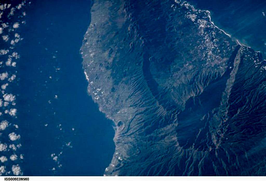
Satellite image of the central part of La Palma. You can beautifully see the pockmarked Cumbe Vieja Range (120 volcano craters in the south (top), the curve of the Cumbre Nueva leftover of a giant crater and Caldera de Taburiente.

The Caldera has one open side in the south-west along Barranco de Angustias which leads to the coast to Puerto Tazarcorte. Directly opposite of the barranco you find Piedra Llana and Pico de la Cruz to the left and right of the long ridge of Lomo de la Jurada.

Photo credit:
Image Science and Analysis Laboratory, NASA-Johnson Space Center. 2 Nov. 2004. "Astronaut Photography of Earth - Quick View." (6 Apr. 2005).
Send questions or comments to the NASA Responsible Official at earthweb@jsc.nasa.gov
Gangolf Haub
on Apr 6, 2005 2:52 pm
Image ID: 98925

Comments

Post a Comment
Viewing: 1-1 of 1
MikelEntra

MikelEntra - Sep 21, 2011 2:49 am - Hasn't voted

Satellite

Great to see clearly the La Palma looks like from satellite. Great also to distinguished helpful satellite from the picture above. Speaking of satellite I read from this article UARS satellite pieces have 1 in 3,200 chance of hitting Earth that the satellite arrived at what NASA called "the end of a productive scientific life" a full six years ago. UARS is expected to come back to Earth soon. By Saturday, the satellite will re-enter the atmosphere.

Viewing: 1-1 of 1