Comments
No comments posted yet.
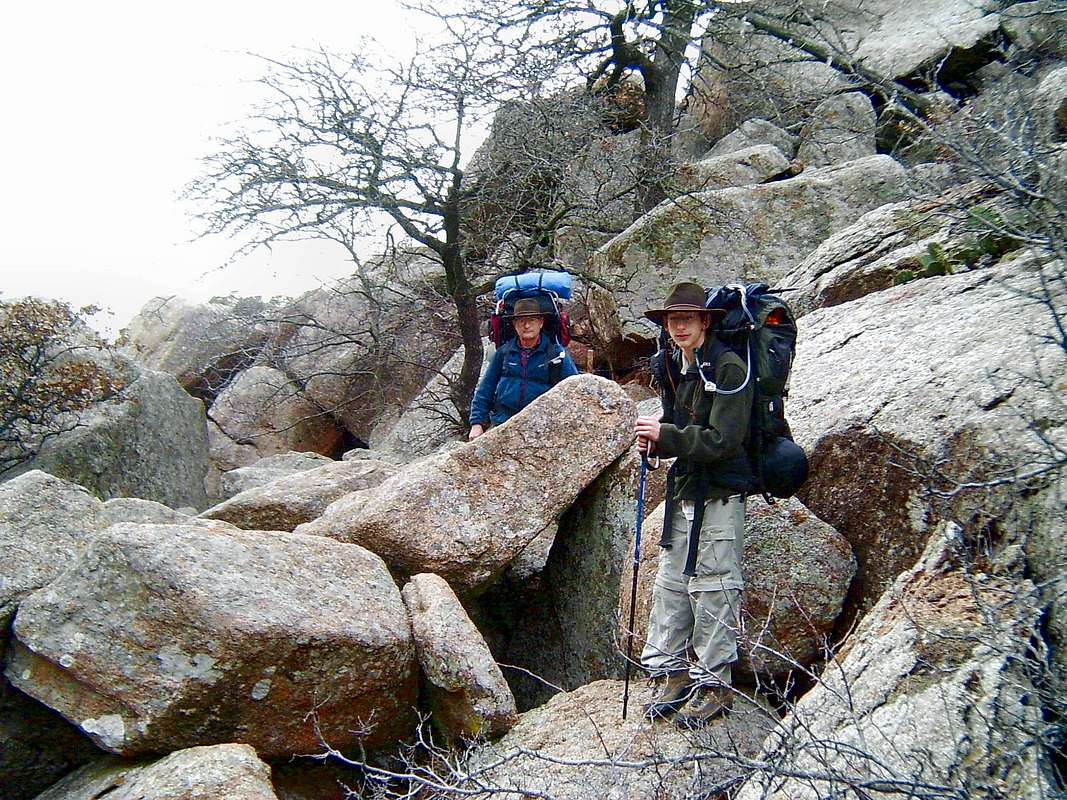
The map that you can buy at the Wichita Mountains National Wildlife Refuge, OK visitor center shows a trail between Sunset and Treasure Lake. There's some pretty scenery along it, including lots of rocks, two lakes and a couple small waterfalls. There is also a small, abandoned mine (sorry, someone else with a GPS took us to it so I can't provide you any further details). One unexpected thing is that for about 1/4-mile that trail is completely obscured by a large boulder field. We're in it in this December 2004 image. I've also uploaded an annotated map that shows about where you'll find that field. It was fun to scramble through it, though I'd recommend doing so without backpacks (and, yes, I now have an internal frame pack!).

You are at the First Image | You are at the Last Image |

