
-
 2830 Hits
-
 73.06% Score
-
 3 Votes
|
|
Route |
|---|---|
|
|
46.72970°N / 12.80190°E |
|
|
Hike (some scrambling through a forest) |
|
|
Half a day |
|
|
Walk-Up |
|
|
Approach
See the main page as to how you can get to Lesachtal Valley. In the east of St. Lorenzen there is a road which leads north into the Radegunder Bach Valley. It leads to the trailhead at Tuffbad.
Route Description
- Start altitude: 1262m
- Summit altitude: 2386m
- Prevailing exposition: E
- Type: 3h 30min over paths
- Protection: marked
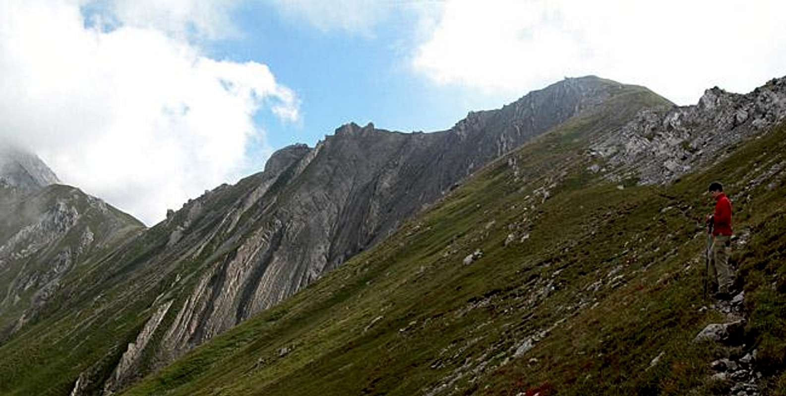
Head out north from Tuffbad along the forest road which runs through Wildensender Bach Valley. At an intersection (left to Weittalspitze) take the right trail which soon crosses the creek. Shortly after the creek crossing signs show you the path to Riebenkofel and Soleck. The trail climbs steeply through a densely populated forest and gets over the timberline at some 1900m. Here you get the first glimpses of your destination. The remaining ascent to the ridge between Soleck and Riebenkofel runs below the Soleck summit walls, limestone cliffs which contrast beautifully with the colourful meadows all around.
On the ridge turn southwest. You pass by a little cabin, before the final Riebenkofel ascent starts. The latter is quite steep along along moderately exposed gravel tracks.
 |  |
Essential Gear
Hiking gear is sufficient.