

Comments
No comments posted yet.
|
|
Trip Report |
|---|---|
|
|
36.05285°N / 112.08398°W |
|
|
Download GPX » View Route on Map |
|
|
Nov 21, 2022 |
|
|
Hiking |
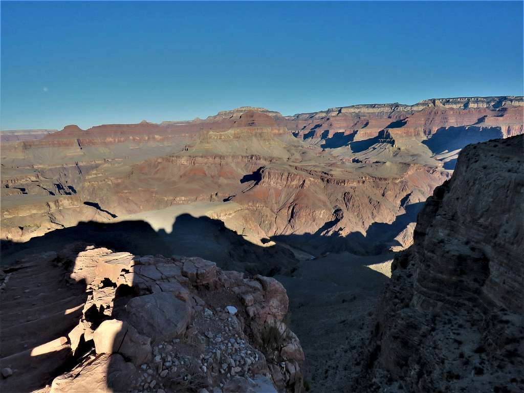
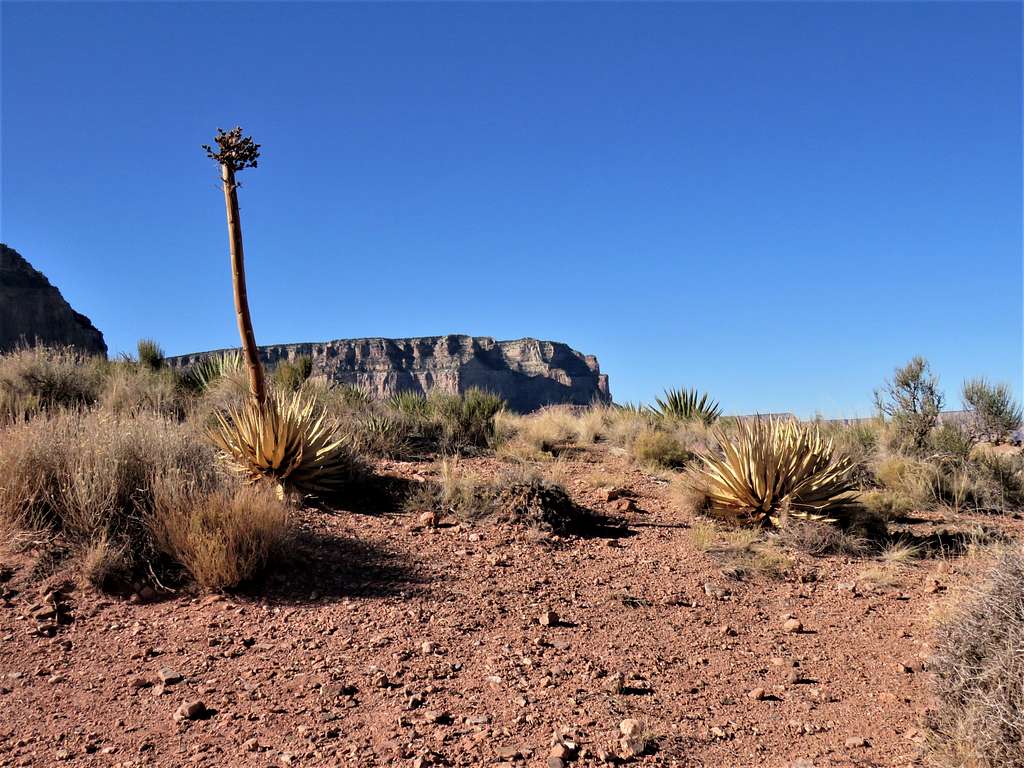
South Kaibab Trail goes from the south rim of Grand Canyon to Colorado River at the bottom of the canyon. Compared to the nearby Bright Angel Trail, South Kaibab Trail is shorter and steeper (7.2 miles to the river with 4800 ft vertical versus 8 miles with 4460 ft vertical). Driving a personal vehicle to the South Kaibab Trailhead is not allowed. The park’s shuttle bus must be taken. The closest place that a personal vehicle can be parked is 0.75 miles away. Much of South Kaibab Trail follows a ridgetop providing the hiker with panoramic views.
I had planned a 5 day stay at Grand Canyon National Park during the last week of November 2021. Wanted to reach the bottom of the canyon and go back to the top one day via South Kaibab Trail and another day via Bright Angel Trail. First tried South Kaibab Trail. There were signs everywhere saying: Do not attempt to go to the river and back in one day, people have to be rescued all the time etc. Having to first go down and then come back up bothered me so I freaked out 2/3rd of the way down the South Kaibab Trail and turned back at “The Tipoff Point”. I was however able to make it down to the river 3 days later via Bright Angel Trail.
Hike Length: 11.0 miles
Maximum Elevation: 7220 ft
Minimum Elevation 4000 ft
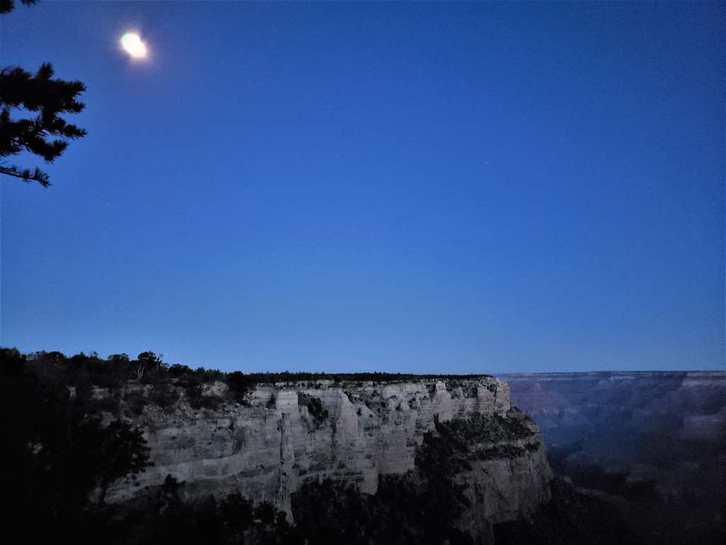
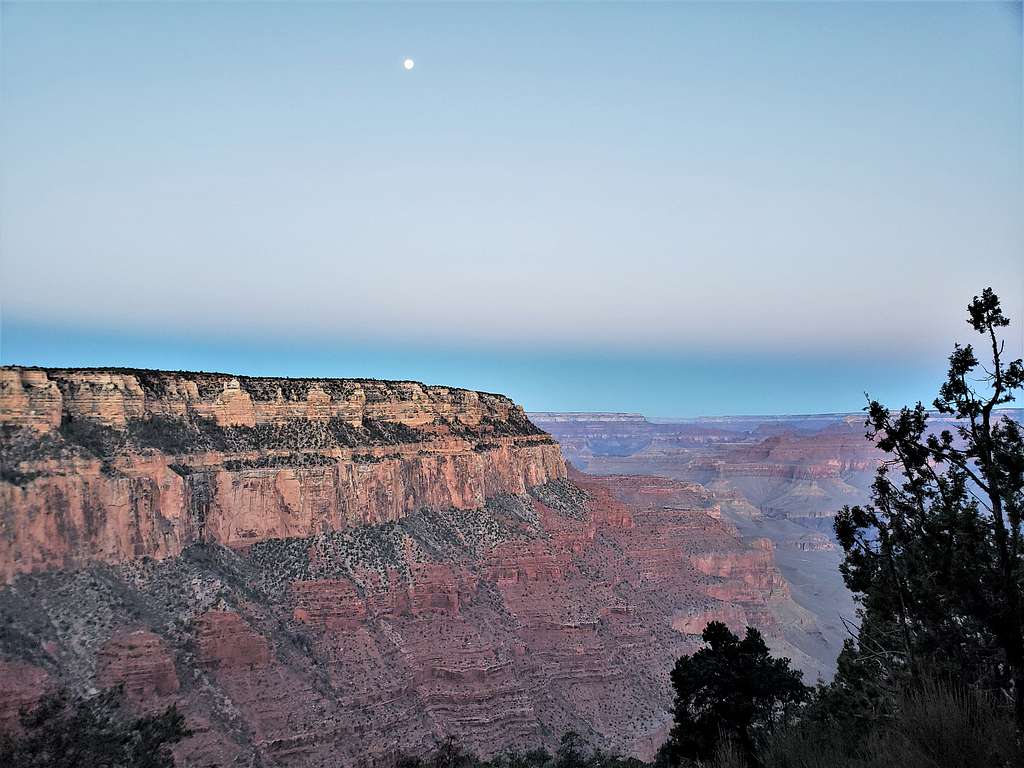
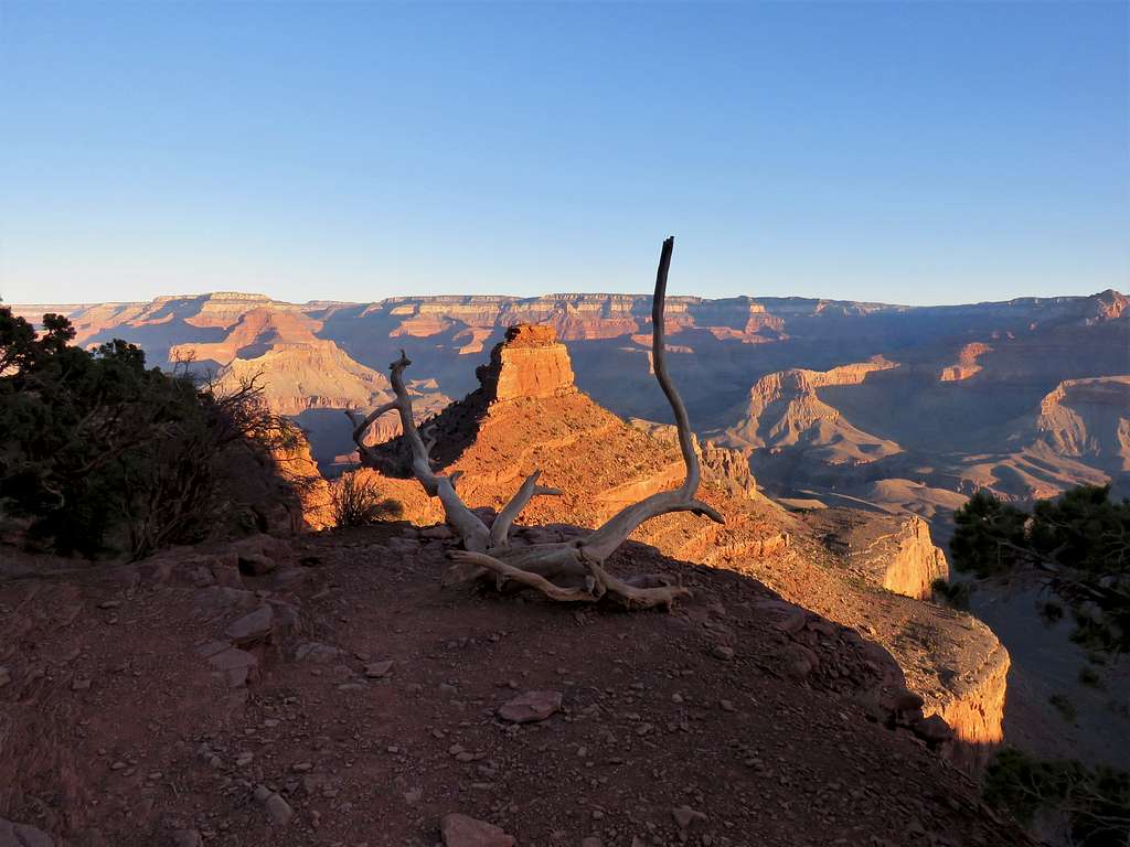
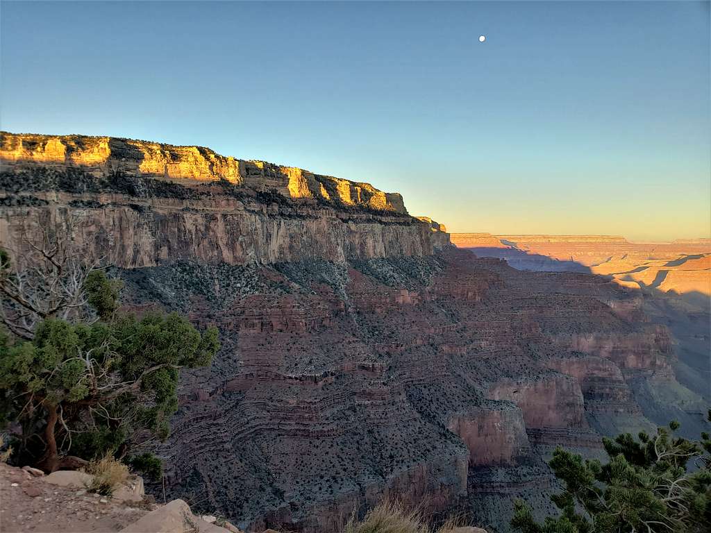
Left Kachina Lodge and drove to a roadside view point on Route 64 to the west of the spur road that went to South Kaibab Trailhead. Started my hike around 6:35 AM (sunrise 7:15 AM). It was 32 degrees F. A strong wind was blowing making it feel much colder that it was. Each time I took my gloves off to take a picture or look at my GPS, my fingers went almost numb. Got on the paved Rim Trail and headed northeast toward South Kaibab Trailhead. A full moon was visible.
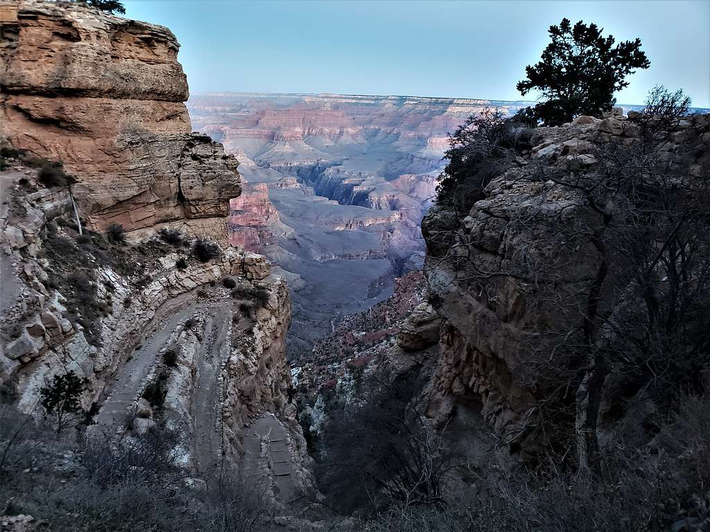
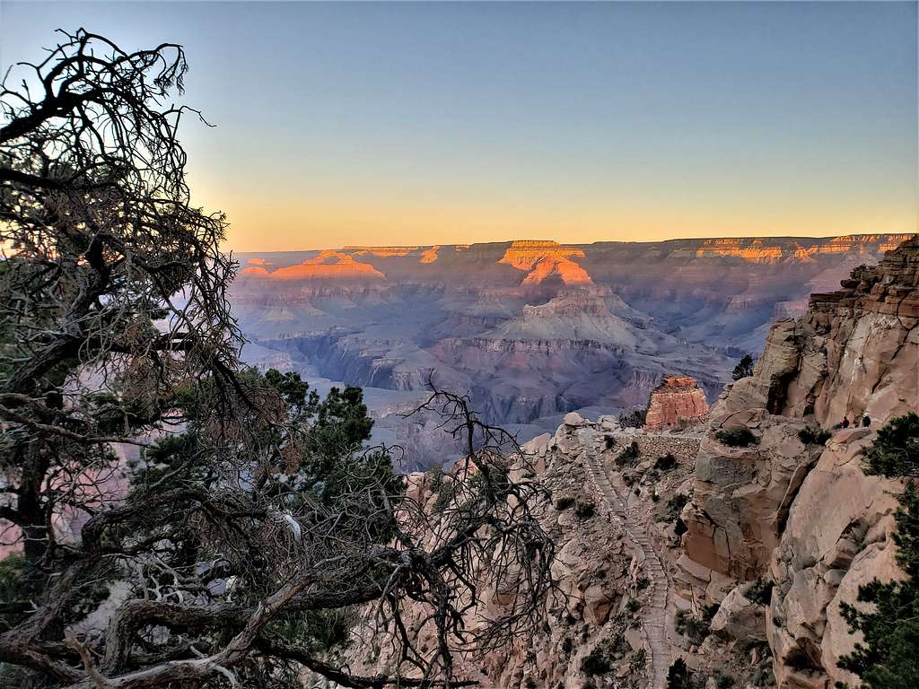
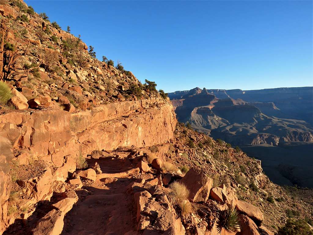
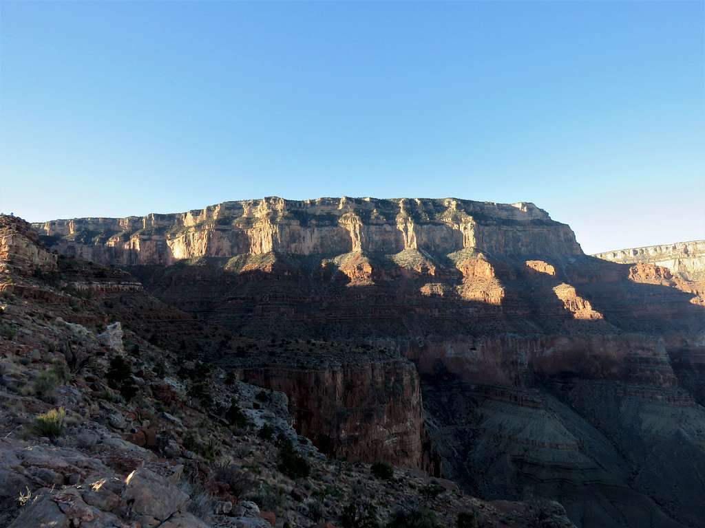
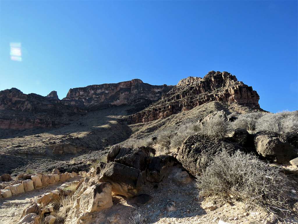
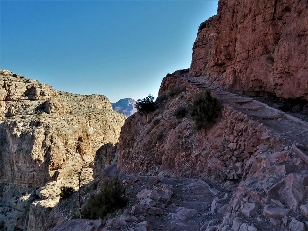
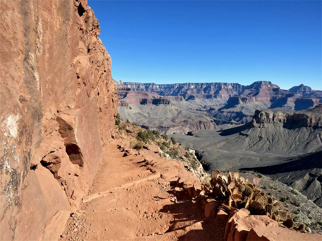
At 7:00 AM, after 0.75 miles, I was at South Kaibab Trailhead (7220 ft elevation). The trail began to make switchbacks going down what looked to be sheer cliffs.
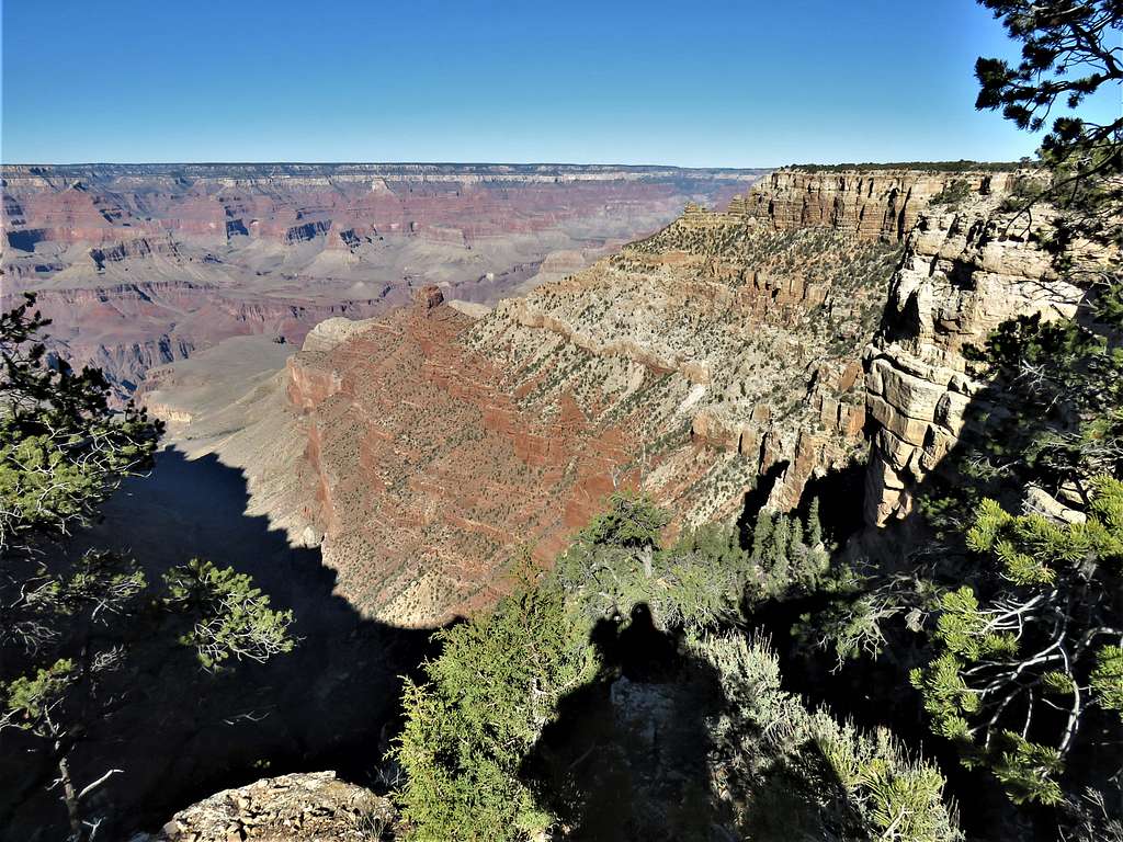
Looking west toward Mather and Yavapi Points.
Before sunrise.
A group of 4 Asian hikers were in front of me. For the next couple of hours, sometimes I got ahead of them and sometimes they ahead of me.
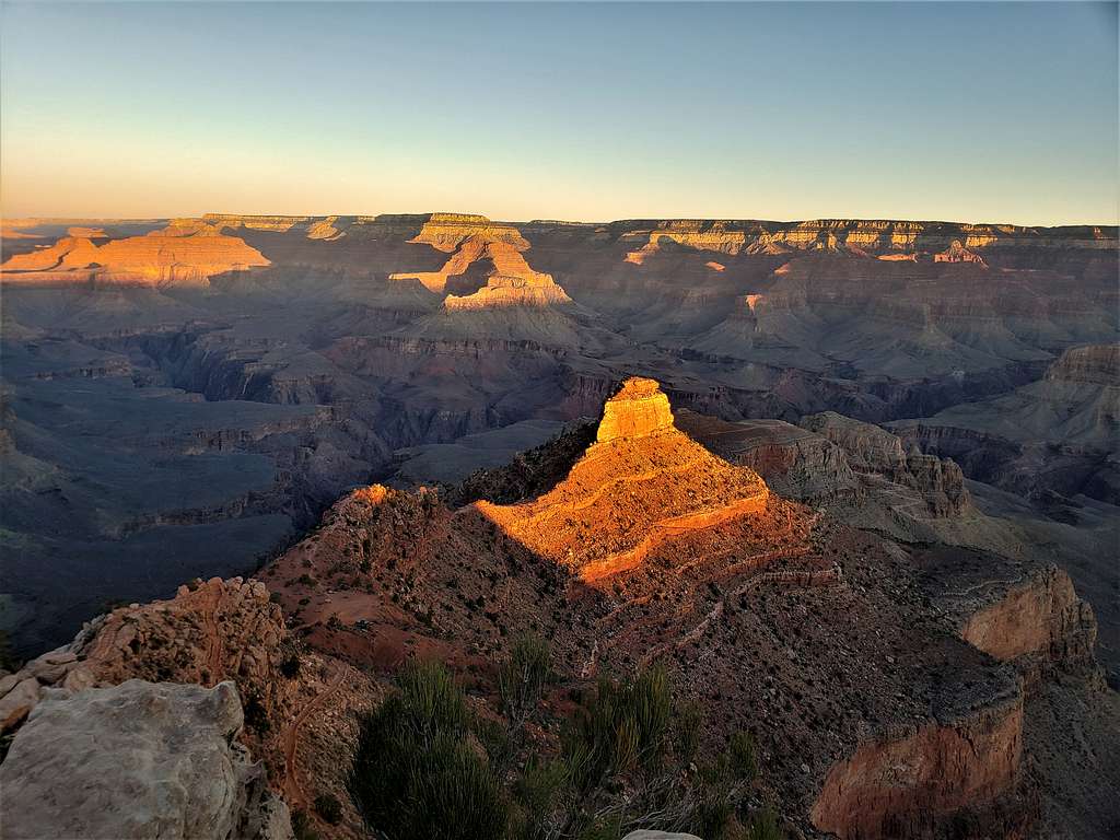
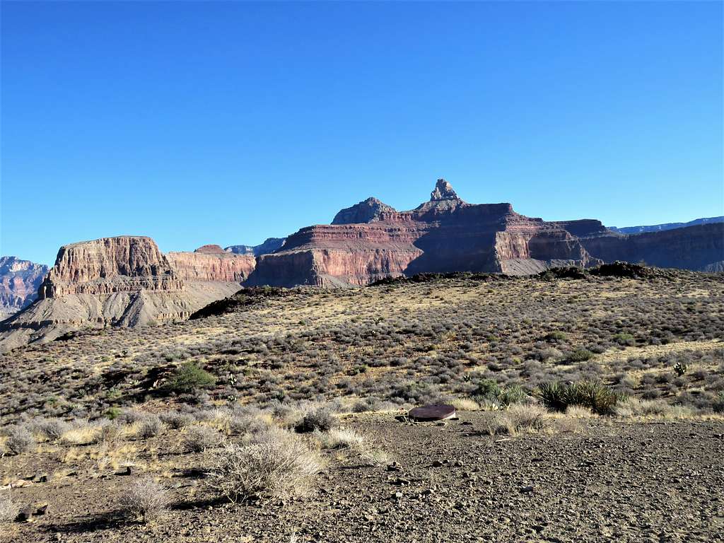
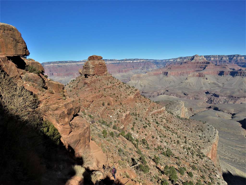
A turn known as Ooh Aah Point.
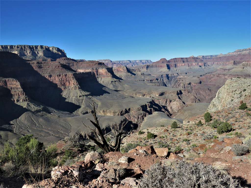
O’Neall Butte from Ooh Aah Point.
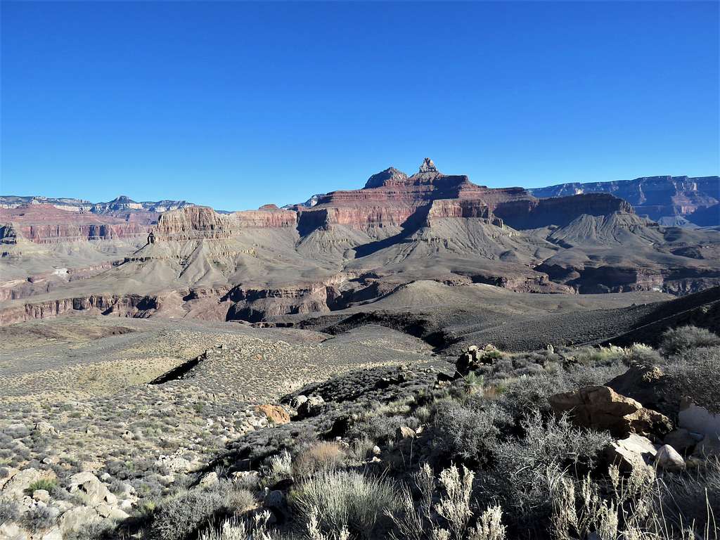
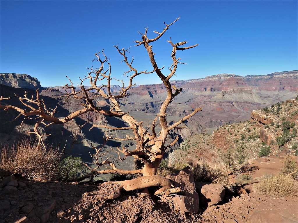
Zoroaster Temple.
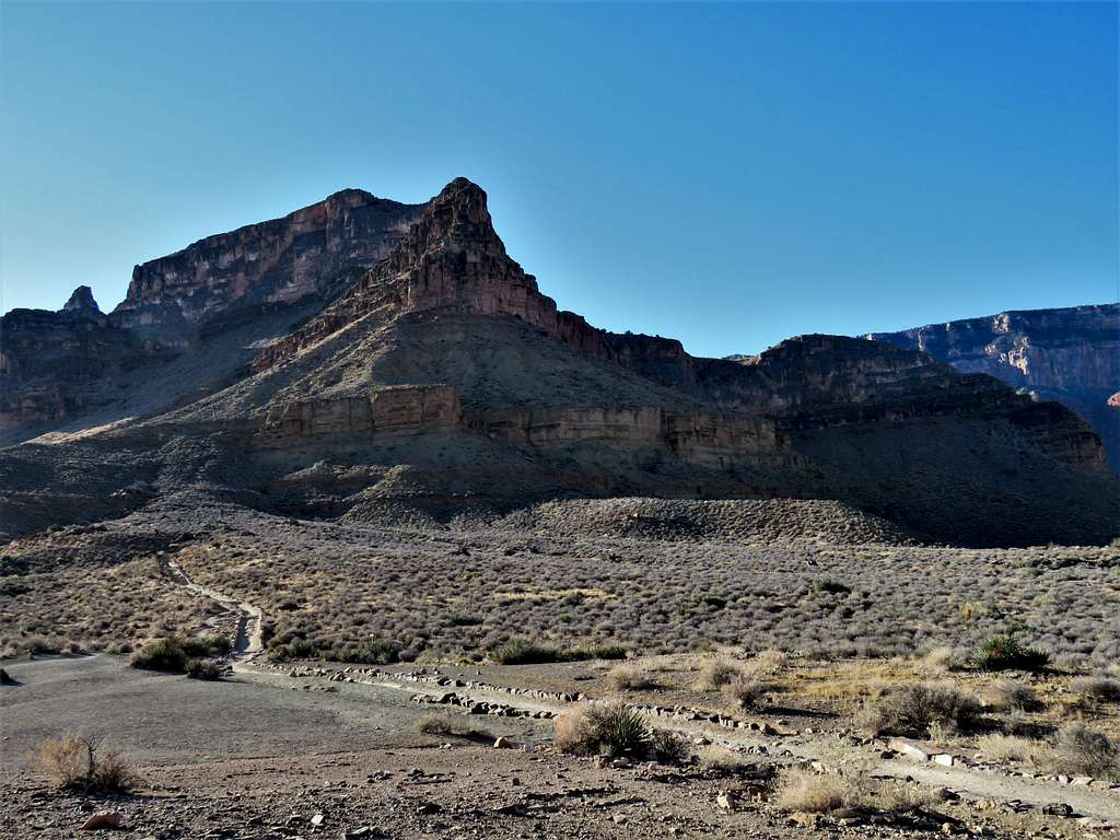
O’Neall Butte.
Looking west toward Mather and Yavapi Points.
O’Neall Butte.
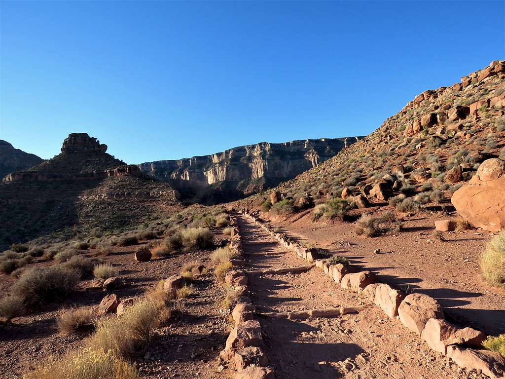
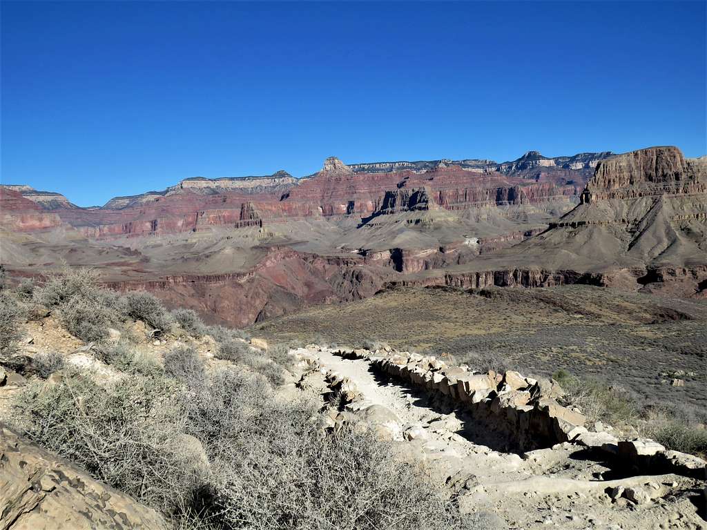
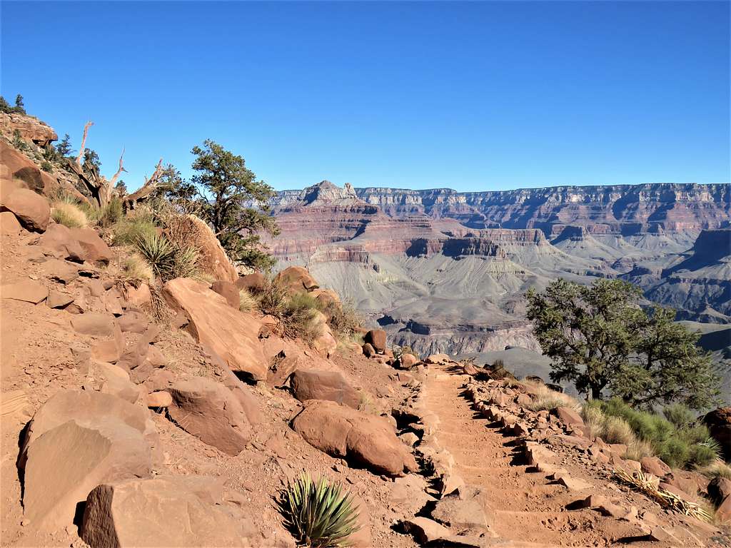
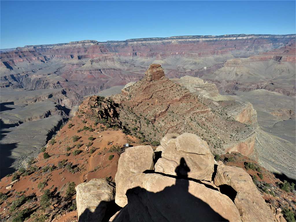
Continuing toward Skeleton Point.
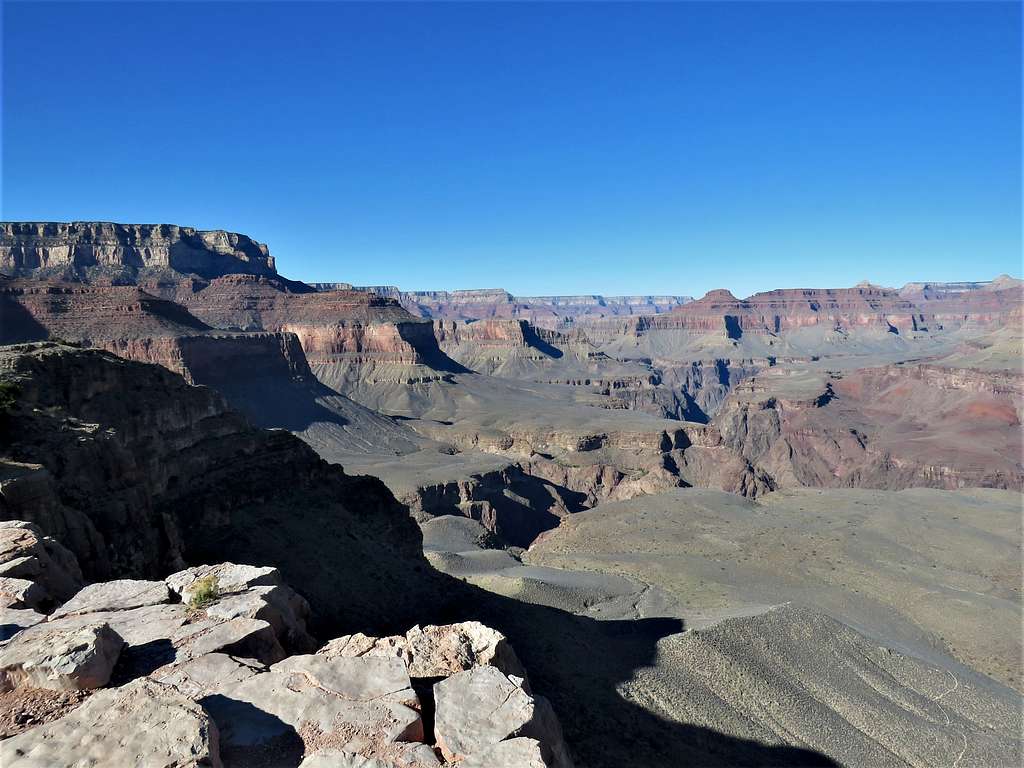
After 3.75 miles of hiking, at 8:35 AM, I reached Skeleton Point 5200 ft elevation. Sat there for a few minutes to drink water. The wind had started to give me a headache. A sign said not to go below Skeleton Point for day hikes. That made the switchbacks below appear more intimidating.
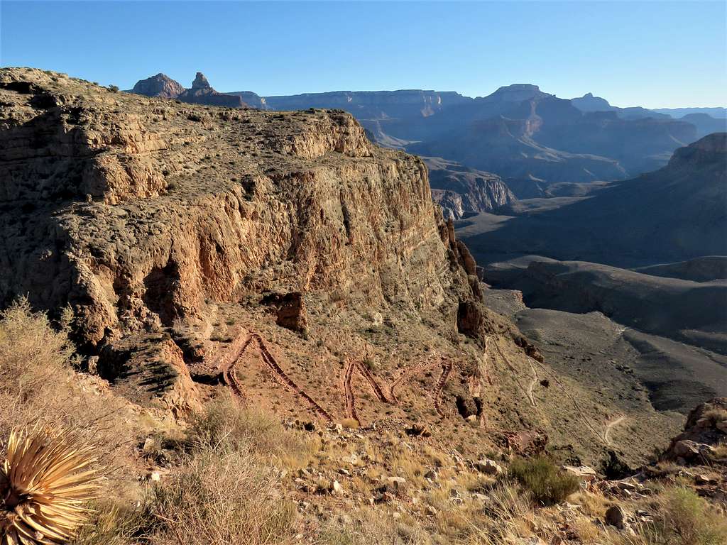
Was soon on my way down the switchbacks. A glimpse of Colorado River.
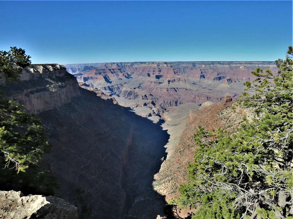
Looking back up toward Skeleton Point from the bottom of the switchbacks.
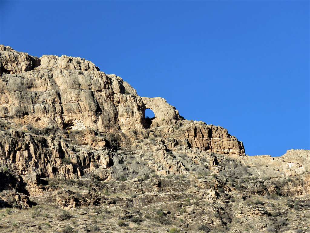
Zoomed view of an arch.
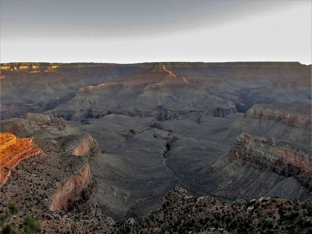
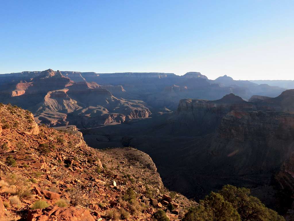
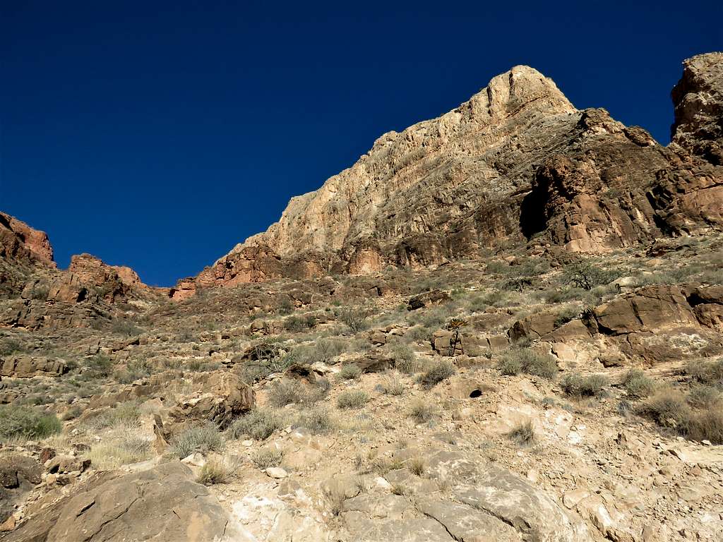
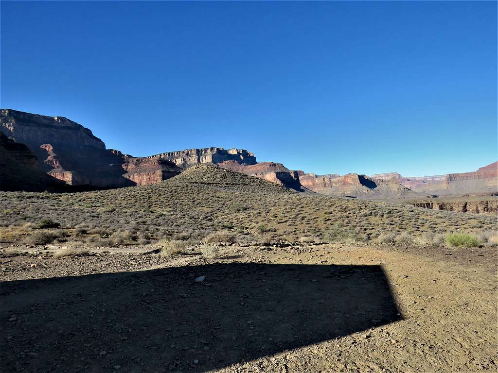
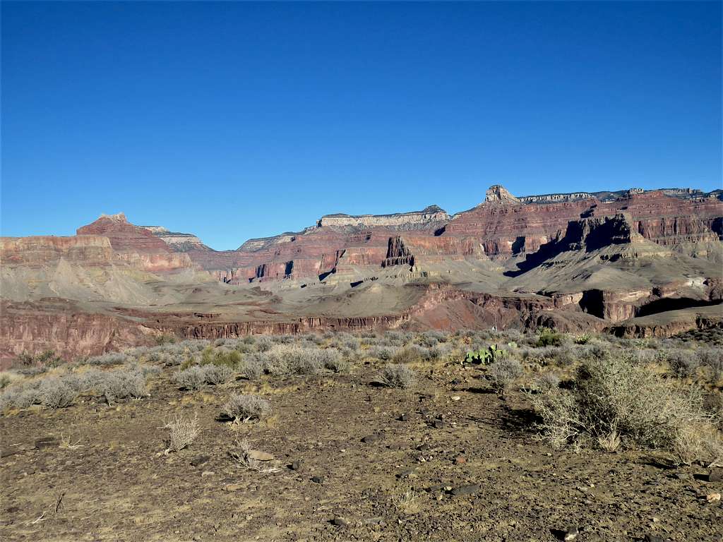
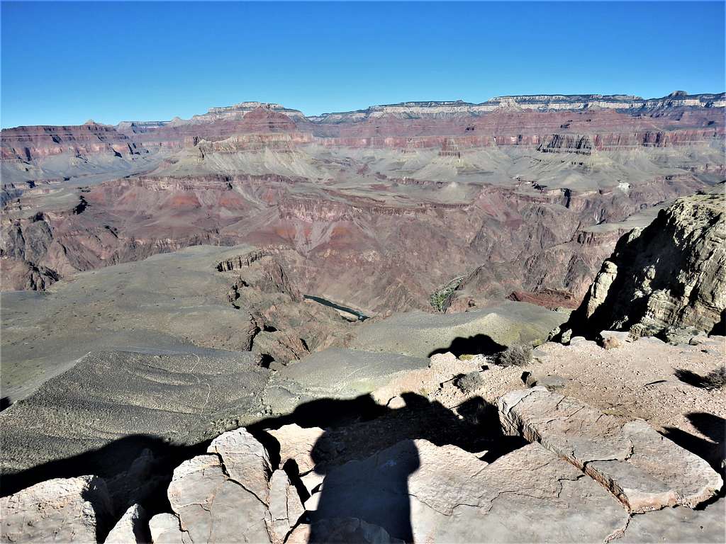
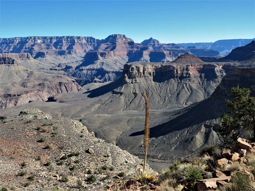
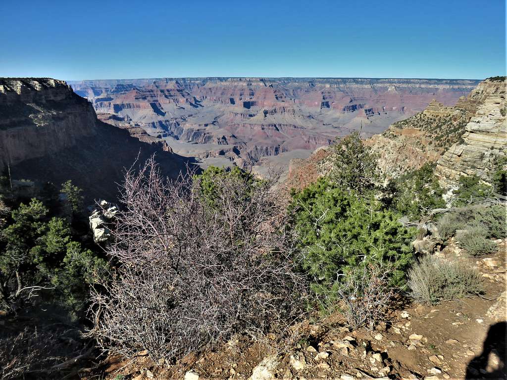
I had not seen any other hikers in some time and was having a headache. When I reached a roofed shelter on a plateau near Tipoff Point, I suddenly decided that I did not want to go any more. It was 9:30 AM, I had hiked 5.4 miles and elevation was 4000 ft. Sat there and ate my big sandwich as I saw people coming down the trail behind me one after another. That made me regret having stopped at that point. A mule train came up the trail stopping at the shelter. For a while, a lot of people were in the shelter. Views from the shelter.
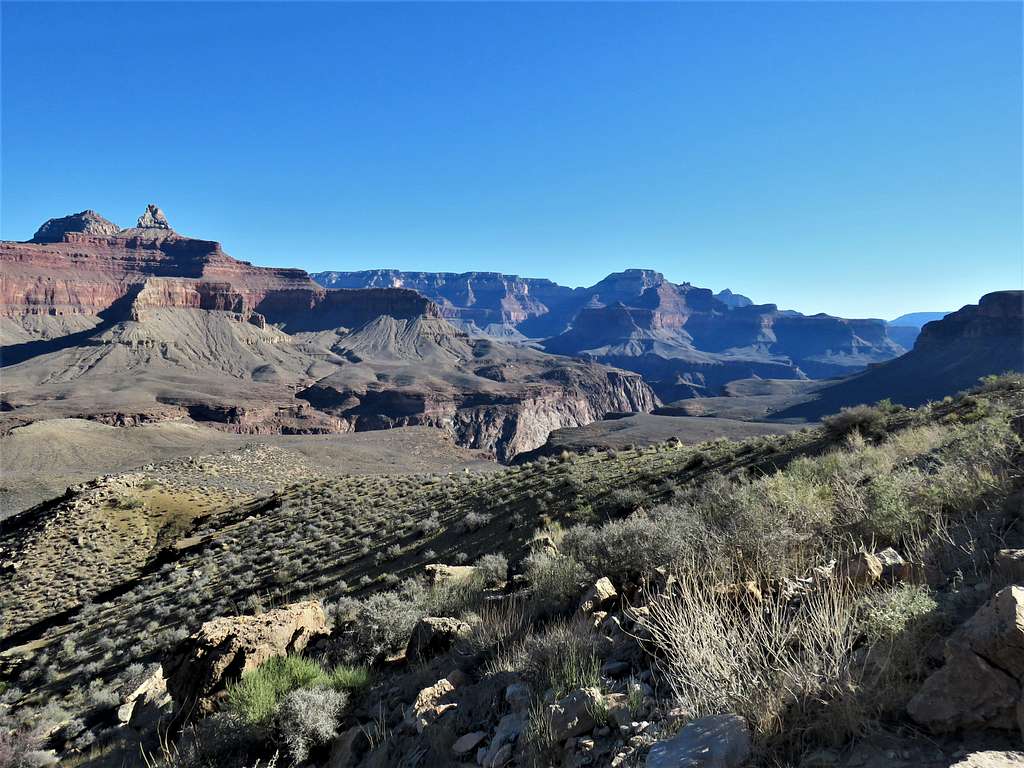
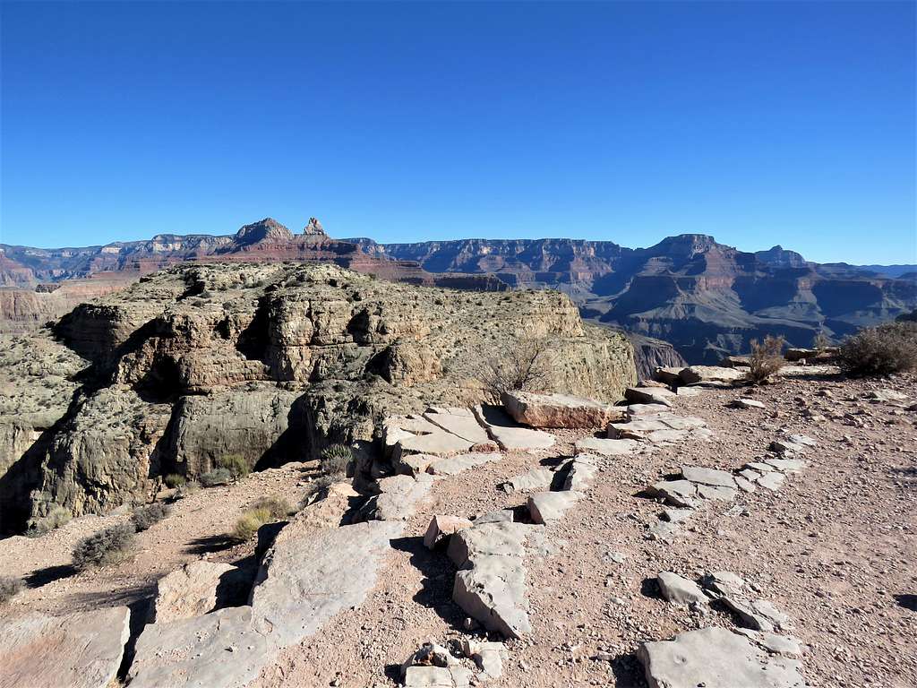
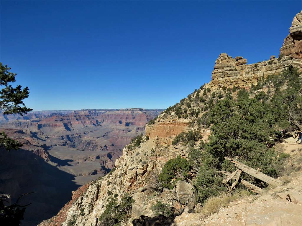
Looking southwest at Yavapi and Hopi Points.
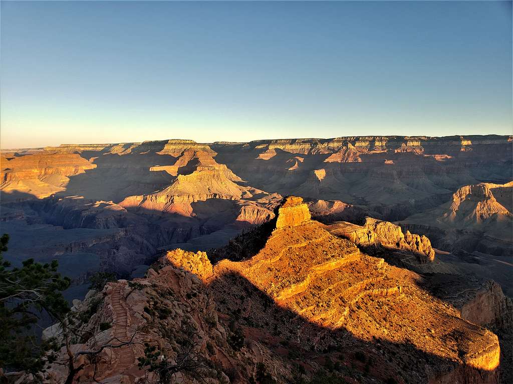
Cheops Pyramid and Buddha Temple to the north.
Zoroaster and Brahma Temples to the northeast.
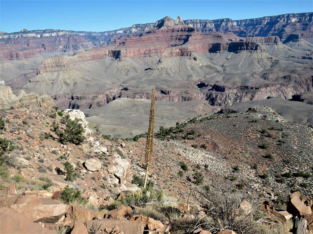
Looking south.
At 10:00 AM, I left and began to go back up the trail. The mule train left soon after me. I stopped to let them go by. Soon I saw that they had stopped to sight see with the back of the mules toward the slopes. Their leader was explaining something to them. I had to walk behind the train of mules wondering if I was going to be kicked by one of them. Of course, they soon caught up with me and I had to stop to let them go. For the next hour, the same thing happened many more times.
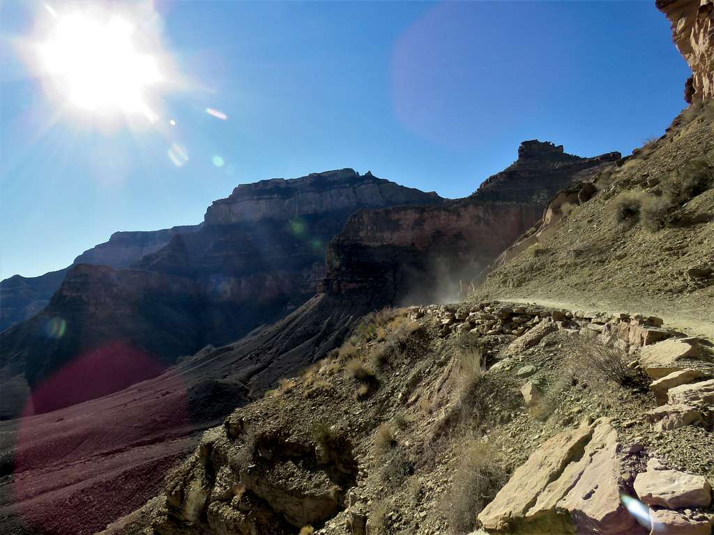
Dust of the mule train. Yaki Point on the left.
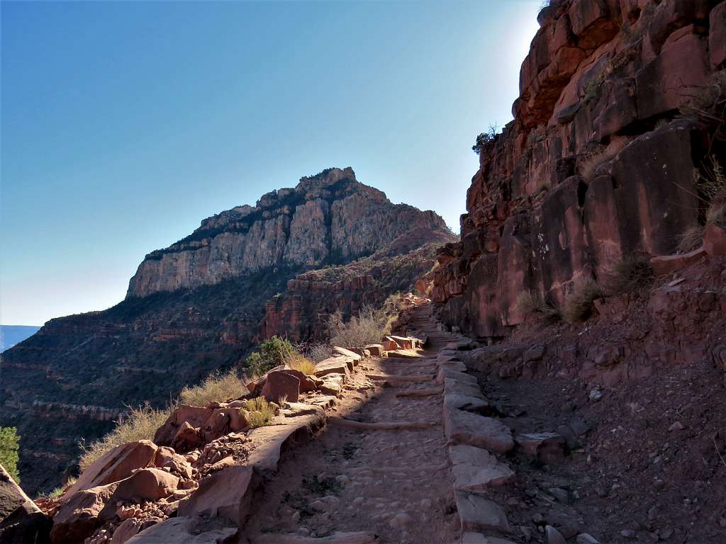
Last switchbacks below Skeleton Point.
Reached Skeleton Point at 11:00 AM. Sat there to eat and enjoy the views.
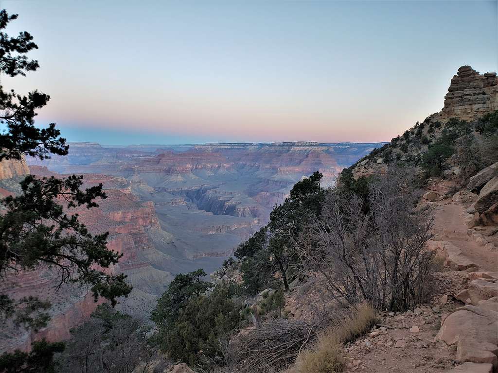
Continuing up the trail. The wind remained cold and strong.
O’Neill Butte.
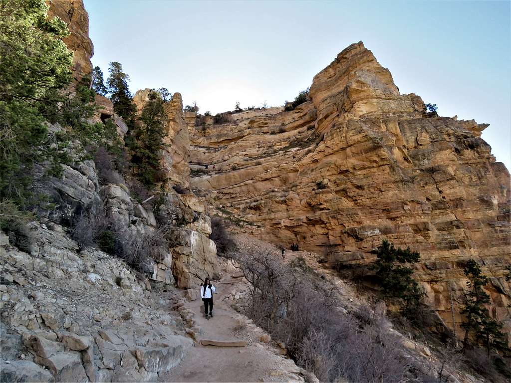
The upper parts of the trail became fairly crowded. In one place there was a big fresh pool of mule urine covering the width of the trail. Totally gross.
Below the final switchbacks.
Reached the trailhead at 12:57 PM. Walked the Rim Trail to reach my car at 1:20 PM. It was 47 degrees F.