The entire South Ramp Route of Grinnell Point is visible from this vantage point on the extreme north side of the Allen Mountain massif. The route essentially parallels right side of the long, diagnoal snow chute, with the cairn located on the tall spire above and to the right. Please refer to
this photo for a detailed route diagram.
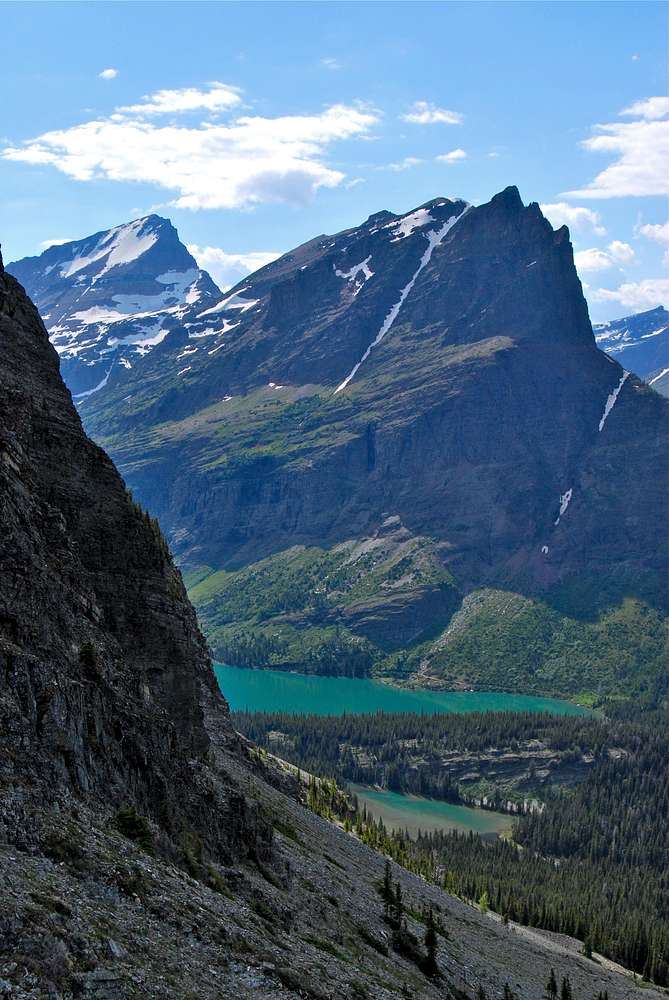
Although not evident from this angle, Mount Grinnell, which rises behind at to the left, is over 1,200 feet high than Grinnell Point. Lake Josephine is in the foreground.
July 7, 2010


