Toggle navigation
Mountains
Routes
Images
Trip Reports
Forum
What's New
People
Areas & Ranges
Articles
Trailheads
Canyons
Huts & Campgrounds
Albums
Logistical Centers
Fact Sheets
Lists
Custom Objects
Gear
Plans & Partners
WELCOME TO SUMMITPOST
SIGN IN
REGISTER
Abert Rim
Additional Parents
Image
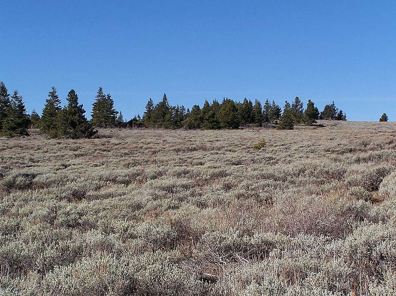
Summit Area of Abert Rim
View High-Resolution Image
Summit Area of Abert Rim
You can drive up here in a 4x4, thats why I selected Juniper Creek as the more ideal hiking destination of lengthy Abert Rim.
« PREV
NEXT »
calebEOC
on
Nov 9, 2007 5:35 pm
Comments & voting
Other parents
Lat/Lon:
42.38838°N / 120.23446°W
Image ID:
355086
1856 Hits
73.06
% Score
3
Votes
Log in to vote
Comments
No comments posted yet.
to post!
Don't have an account?
Abert Rim
(Mountain/Rock)
« PREV
Viewing
#17 of 20
GALLERY
NEXT »
calebEOC's Image Gallery
« PREV
Viewing
#755 of 931
GALLERY
NEXT »
×
You need to login in order to vote!
User Name
Password
Remember me
Forgot your password?
Log me out when I close my browser.
Keep me logged in all the time.
sign in as a user
Don't have an account?
Register now for FREE
Rating available
Suggested routes for you
People who climb the same things as you
Comments Available
Create Albums
Register Here


