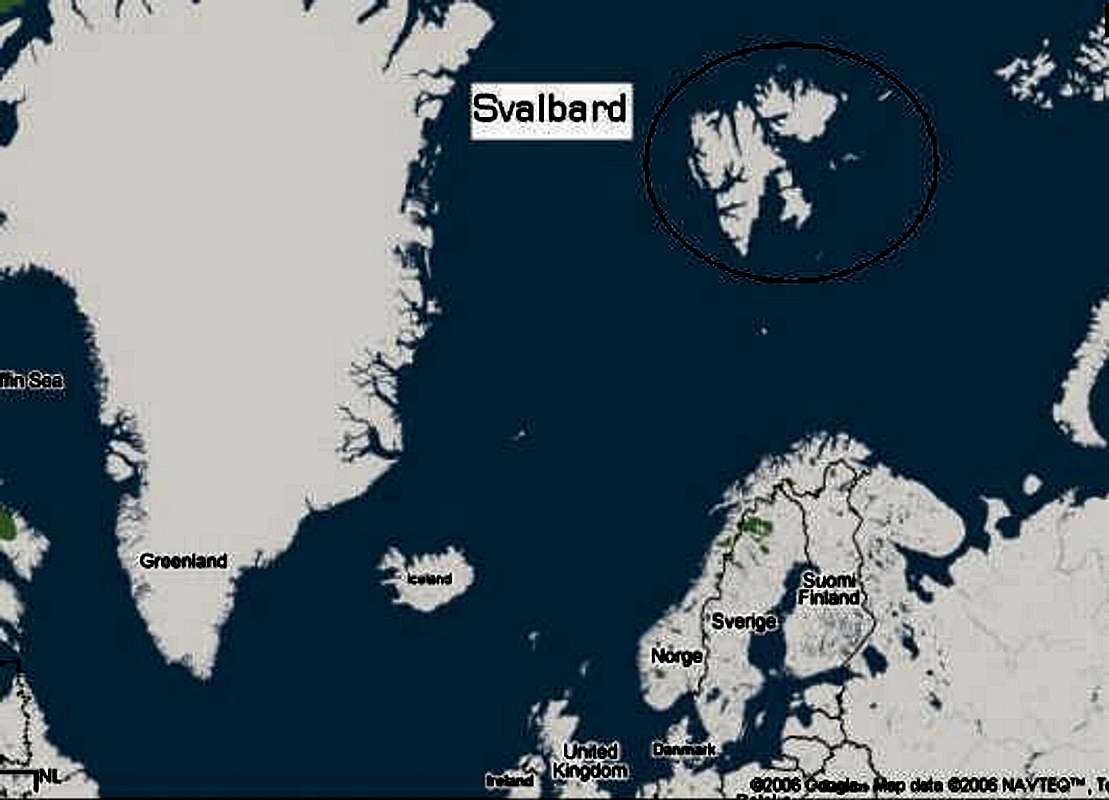
This is a map Of Svalbard where we originally planned on going. Half way down the west coast of the Largest island there is a large inlet. Longyearbyen is on the south side of that inlet and that's were we would depart from, then head towards the North from there towards the inlet that goes directly south from the north coast. The mountains on the East side of that inlet was our goal.


