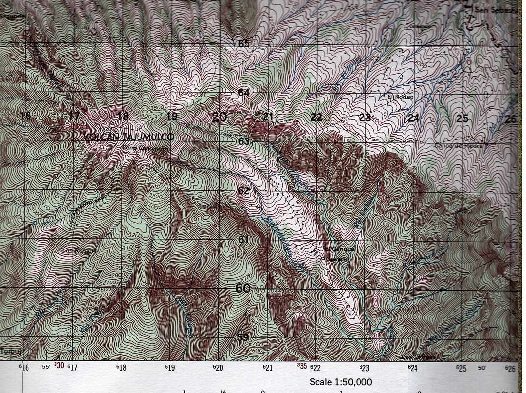
Published by and recently declassified by the U.S. National Imagery and Mapping Agency. Map name: Tajumulco, Reference number: Sheet 1861 III, Edition 1-AMS. Primary contour intervals are at 20 meters, secondary are at 10 meters. This section of the map includes most of Tajumulco.


