

lcarreau - Jul 9, 2009 3:04 pm - Voted 10/10
Melinda ?Your photos always seem to be on a different
"tangent" than mine, especially this one!
I didn't know there was a road going out to
the Hogup mountains. Incredible stuff!!!
Perhaps when I can afford to rent or buy a
high-clearance vehicle, I'll have to do
some serious exploring in those parts.

mountaingazelle - Jul 9, 2009 3:14 pm - Hasn't voted
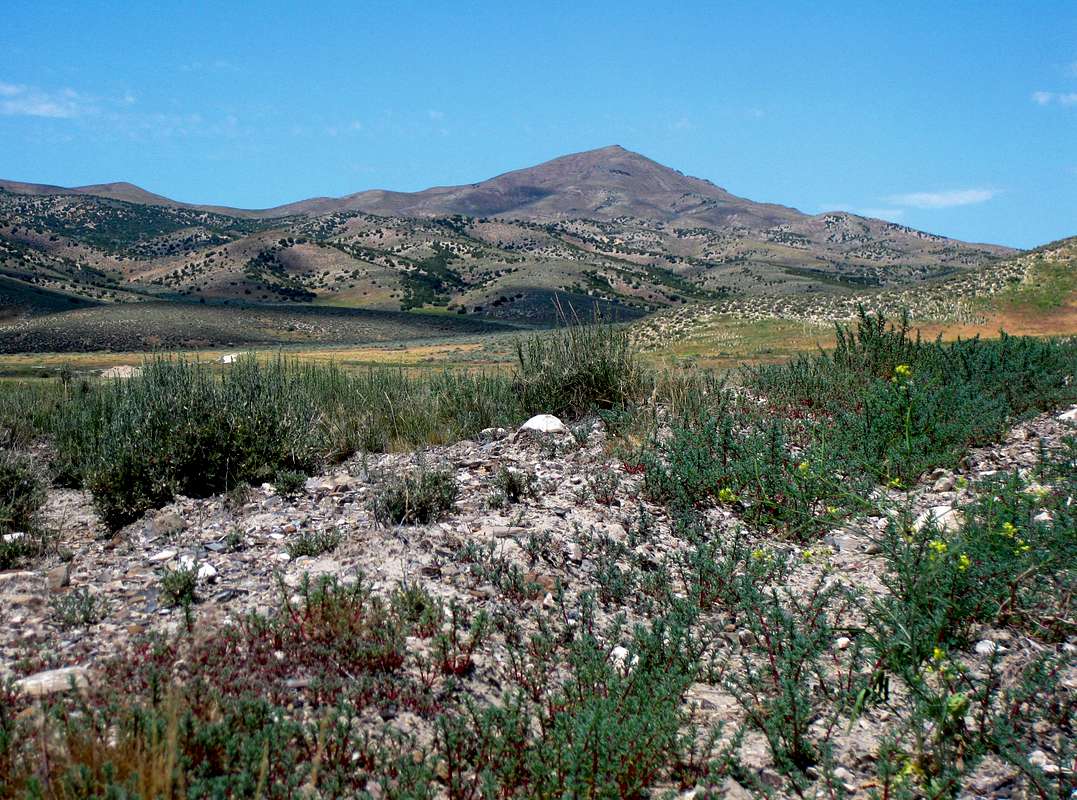
Re: Melinda ?This is a very remote mountain range in Utah. There are dirt roads here. I wanted to explore the area more but I was worried about running out of gas in the middle of nowhere. I was able to hike up Tangent Peak which has a great view of the northern end of the Great Salt Lake.

Dean - Jul 9, 2009 4:25 pm - Voted 10/10
Utah prominence peakAnother on my list. Maybe tomorrow along with Samaria's HP of Idaho. Did you go from near Snowville or north from I-80? Any hints on this one?
mountaingazelle - Jul 9, 2009 4:51 pm - Hasn't voted
Re: Utah prominence peakI took the route that exits I-15 onto Highway 83 toward ATK Thiokol. Then I drove past the turnoff to Golden Spike Historical Site and continued on the dirt road that heads west toward Locomotive Springs. This goes past Lone Rock on the north shore of the Great Salt Lake which was mostly dry. The road continues toward Kelton.
South of Kelton, I took the road that is closest to the lake. This led to the Hogup Mountains but I got lost and took a two hour unplanned detour around the range. None of these roads were signed. I found the right way eventually. The key is to find Big Pass which is east of Tangent Peak.
lcarreau - Jul 9, 2009 10:45 pm - Voted 10/10
Re: Utah prominence peakI just got off "Google Maps."
If you take the 'Hogup Mountains Road,' all the way to Big Wash, there's a road that goes past Deadman's Knoll. That's where you continue west toward the "County Road," and once there, turn right (north) toward Big Pass.
I'm surprised there isn't enough water stored
in the lake to close that road, but I haven't
been there since the new causeway was installed.
Sounds like loads of fun, Melinda !
mountaingazelle - Jul 10, 2009 11:25 am - Hasn't voted
Re: Utah prominence peakI looked at the map and know where I went the wrong way. I remember getting to a junction toward Young’s Cabin that went toward Deadman Knoll. This was the lower route by the lake but I took the higher route that was closer to the mountains. This road was in worse condition and slow. After leaving Big Pass that day, I decided to take the road that went north from there instead of the route I drove in the morning. This road was in better condition.
lcarreau - Jul 10, 2009 7:48 pm - Voted 10/10
Re: Utah prominence peakRight on!
Did you ever wonder WHY they called it
"Deadman's Knoll?"
I don't think we want to know.
mountaingazelle - Jul 20, 2009 1:18 pm - Hasn't voted
Re: Utah prominence peakI’m not exactly sure why it is named Deadman Knoll. The Hogup Mountains area was an important discovery in Great Basin Archaeology. Hogup Cave was excavated in the 1960’s. They found bodies of people that lived in that area for over thousands of years. Maybe they found a body by the knoll. I agree with you that maybe we don’t want to know.
lcarreau - Jul 20, 2009 2:11 pm - Voted 10/10
Re: Utah prominence peakIncredible history!
I'm just glad that I never had to live inside a cave, even though I've always been
fascininated by darkness and bats.


Comments
Post a Comment