|
|
Trip Report |
|---|---|
|
|
45.83588°N / 7.78292°E |
|
|
Download GPX » View Route on Map |
|
|
Sep 9, 2019 |
|
|
Hiking |
|
|
Fall |
Disclaimer
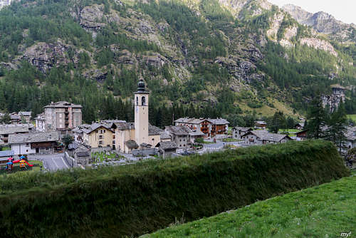
This was the 7th day of the Monte Rosa Tour travelled by our small team. This report is co-authored by Max Fyodorov, who is also the author of almost all pictures in it, including the primary image.
Summary
Testa Grigia North Pass is one of several hiking passes between the valleys of Ayas (Evancon river) and Gressoney (Lys river), south of Grande Monte Rosa with its numerous four-thousanders. It is nice but rarely travelled.
Route: Rifugio Ferraro (2072) – Testa Grigia North Pass (3000) – Gressoney-La-Trinite (Tache, 1630); 15.4 km, +1150/-1600m
Time on the trail: 9h45m; moving: 7h10m, including 40m for straying (+1.8 km, +-230m)
Weather: clear, slightly above freezing.
A pleasant hike but not an easy walk; the ascent to the col feels like T3 by Swiss grade, though with minimum exposure. Tremendous views on both sides of the col. Curious flat rocky layers on Gressoney side.
A Cold Sunny Day
A clear and freezing morning
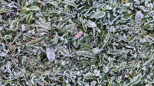
saw us leaving Rifugio Ferraro at 8:25. The first objective of the day was the cable car station at Crest above the town of Champoluc. This section is 4.4 km long, mostly follows a gravel road, and traverses a gentle slope, partly in the wood and partly in the open. The views towards North were excellent:
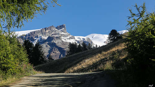
There is a lot of roads and trails here, and more than one leads to Crest. On halfway, at 9:05, we made a dubious decision to turn left and up to follow a bit more interesting and way more winding path to Crest. The path indeed passed a few lakes, the biggest of which was dry, while a couple of smaller ones were not:
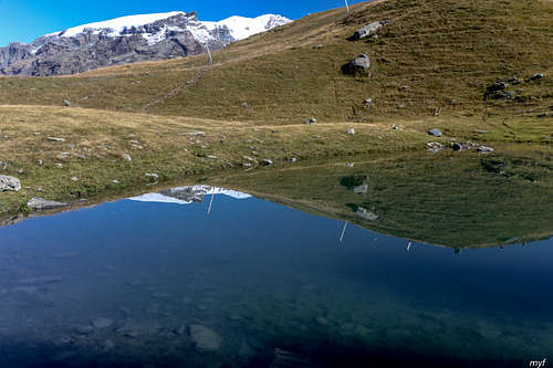
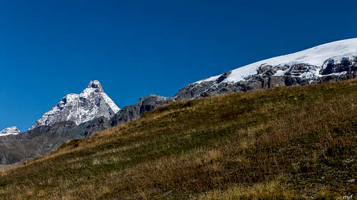
In addition, we were watched by Matterhorn, standing north-north-west of us:
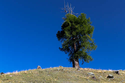
And observed beautiful landscapes with unexpected details:
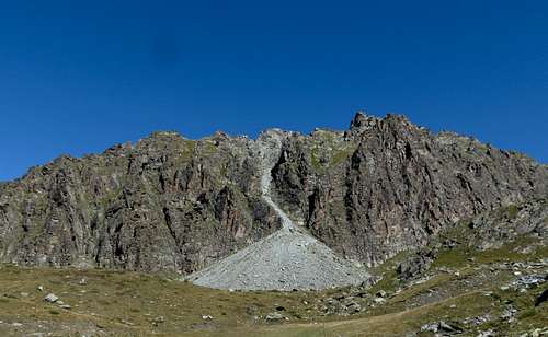
The cost of this longer way was gaining the altitude from 2015 to 2290 and then dropping back to 2000. By 10:40 we reached Crest (2000) and made a short break. The next section was rather dull: follow the road up to the upper cable car station in Ostafa (2420). At 11:50 we reached the station, facing a ragged wall of Monte Sarezza with a huge talus cone on the foreground:
After a 15-minutes break we took the trail to the Testa Grigia North Pass, which is the second highest path of the whole Monte Rosa tour (3000). The trail forks from the road less than 50 meters before the cable car station. In 10 minutes we reached another fork (2480) just before a small creek and turned left. Soon after that the trail became indistinct; at some point we lost it and just proceeded towards the obvious col:
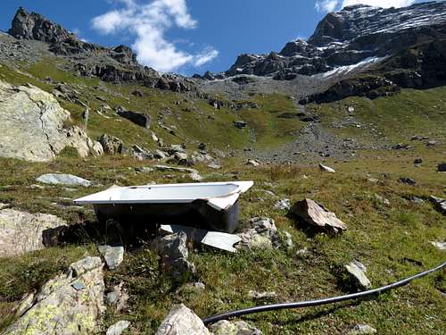
(Don't ask what the hell bath is doing there.) As one can see, the lower half of the slope is grassy and the upper half is stony, both steep enough to prefer moving in zigzags. Here are the upper slopes:
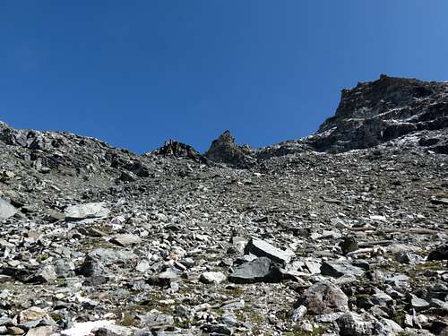
Before the col, there are several cairns near the left boundary of the slope, marking the supposed ascent route. Even though we ascended from south-west, there were some icycles and patches of fresh snow:
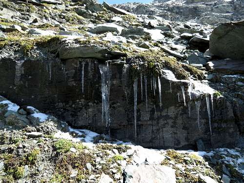
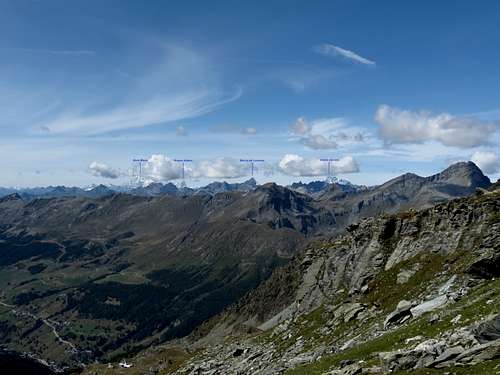
We reached the col at 13:45-13:55, so the ascent from cable car station took 100 to 110 minutes. From the elevation 2800 or so, three distant 4000+ massifs came into view in western skyline: Gran Paradiso on the left, Mont Blanc in the center, with the black rock of Pointe Walker (Grandes Jorasses) on the northern flank, and Grand Combin on the right. A part of the panorama is here:
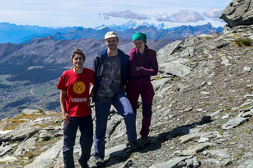
From the col, Grand Combin is concealed by the rock on the right:
The ice- and snow-covered Monte Rosa ridge occupies north-east view; the closest summit is Lyskamm:
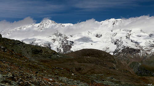
Finally, to the east one observes a parallel ridge that must be crossed during the next day of the Monte Rosa tour:
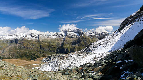
The massif of Corno Bianco is not very high but impressive:
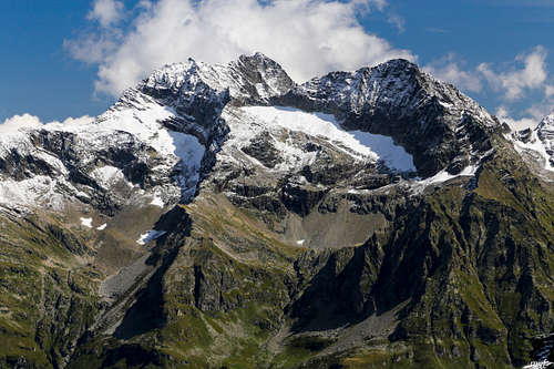
After taking all possible pictures, we started the descent around 14:15. The eastern slope of the ridge here is made of several layers of solid rock, placed almost horisontally.
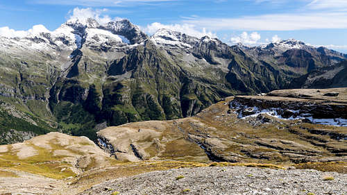
Another view of these layers:
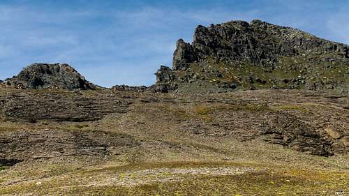
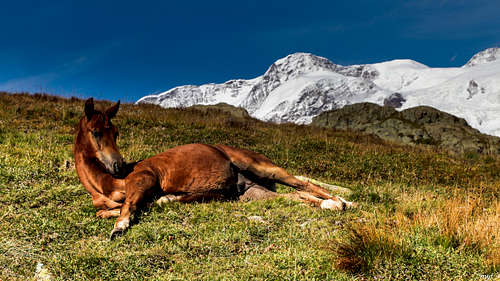
First time it is possible to descend almost anywhere, but to the moment of the first significant drop you have to be on the left side to catch the trail. The trail is equipped in some places, including a piece of free-ended steel rope to help passing a steep 3m step. Below the steep part, a grassy pastureland begins; this one was inhabited by horses:
Still, it is easy to find a more dramatic view:
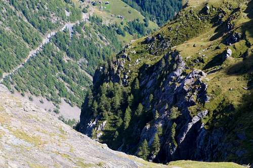
We reached two sources (both almost dry) of the creek that created the ravine on the picture above and stopped for a lunch between them (2440). The descent took 50 to 80 minutes (one of us was slower due to a temporary problem with knees). We resumed the walk at 16:40. The rest was easy: soon after the turn right (south) we ignored a fork right (up), and on the next fork we turn left (down). From there, an hour of lazy walk, with occasional stops to eat raspberries, brought us to Tache at 18:10. Its impressive anti-avalanche defence recalls that mountains are not always in a peaceful mood...
