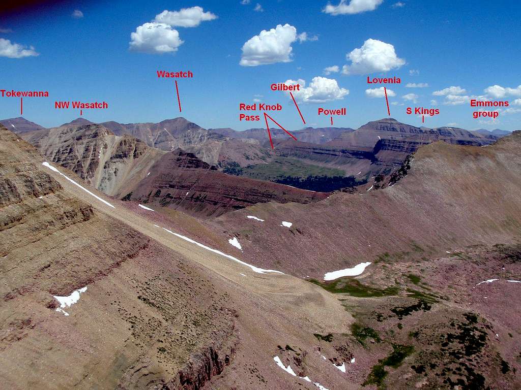
View NNE from South Yard Peak (12,486). L to R: Tokewanna (48.86°, 7 mi), NW Wasatch (53.37°, 6 mi), Wasatch (62.95°, 6 mi), hazy distant Gilbert (74.6°, 21 mi), Powell ( 76.4°, 16 mi), Lovenia (82.08°, 6 mi) (with Kings Peak ubvisible behind her), South Kings (85.3°, 18 mi), and the South end of Kings-Emmons Ridge between Trail Rider and Emmons (90° - 95°, 19-22 miles)
7/29/08
