
|
|
Route |
|---|---|
|
|
25.28477°S / 48.83111°W |
|
|
Hiking, Mountaineering |
|
|
Winter |
|
|
A few days |
|
|
Pretty hard |
|
|
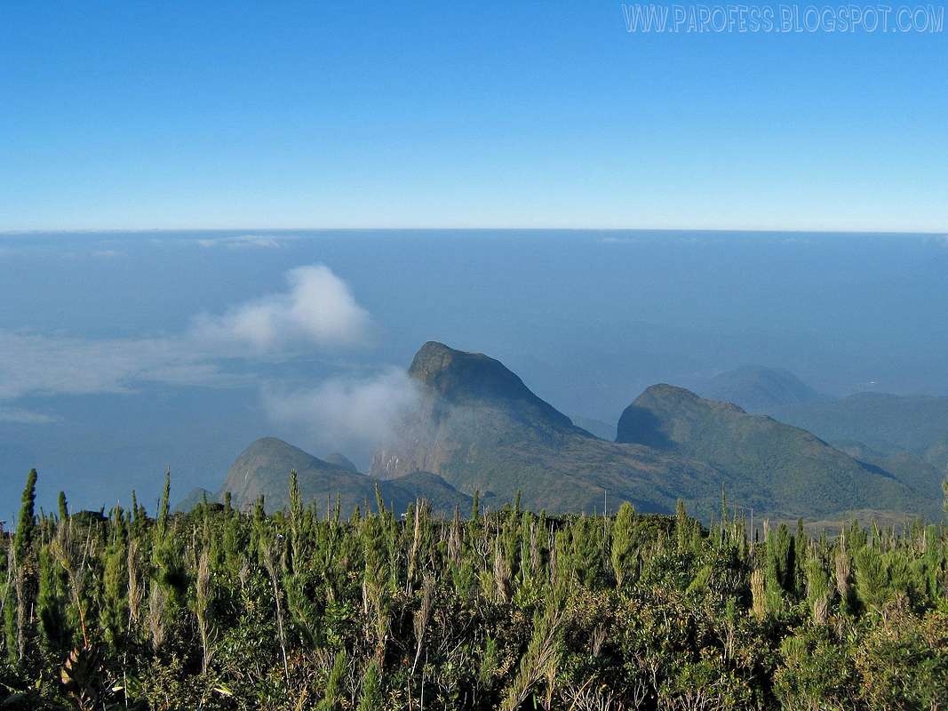
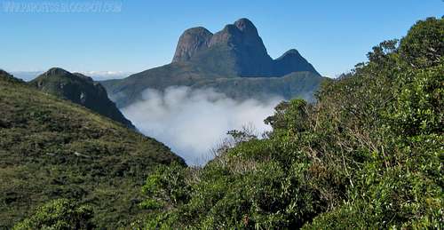
Overview
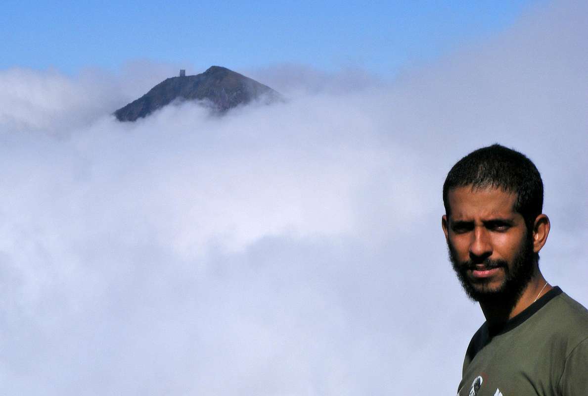
Ciririca Peak has two choices to reach its summit. The down trail, a direct and medium level trail in which one takes from 5 to 7 hours to get there. But this one is quite interesting, it takes from one to three days, depending on the speed of the hiker or the group of hikers.
Not a walk in the park for sure. That means the altitude one have to do to reach a 1.720m peak is 300 meters higher than the peak itself! Now I think you guys will get the point of me saying again and again Ciririca Peak is a tough little mountain. Most people who try this, try in three days, the fast ones in two days. I did in just 14 hours. But I was in pretty good healthy shape, now...Well, freakin' cancer hit me.
Let's get to know a little bit more about this hard brazilian route...
Getting There
Take BR-116 to North till Campina Grande Do Sul, and search for Posto do Tio Doca (Tio Doca Gas Station). Ask for directions to get to the Bolinha farm. From that farm is the starting point to the trail (above trail) to Camapuan, Tucum, Cerro Verde and Luar Peak. The last summit is Ciririca Peak.
Route Description


Some details about this route.
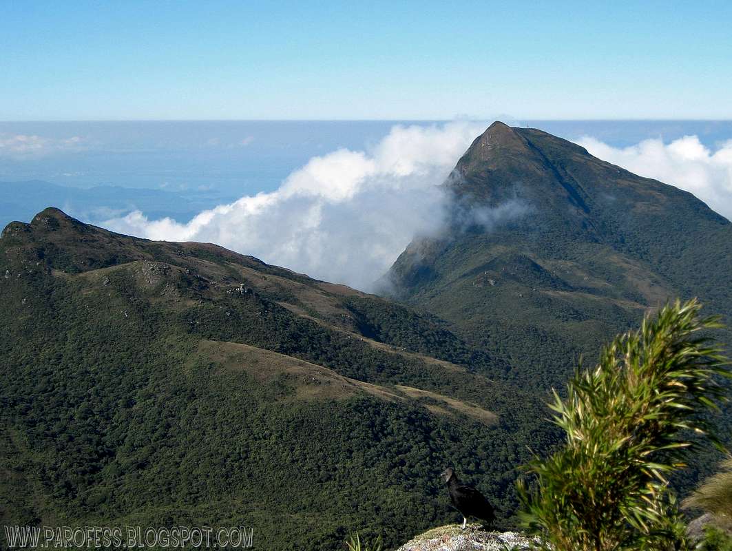
Fisrt step – 7kms to the summit of Camapuan Peak at 1706m high.
Second – Another 1km hike to the summit of Tucum Peak at 1736m high.
Third – Another 2kms hike to the summit of Cerro Verde at 1653m high.
Fourth – Another 2kms hike to the summit of Luar Peak at 1635m high.
Fifth step, and the last one, and hardest job – Another 5kms hike to Ciririca Peak summit, and this one includes descend from 1635m to 1000m and only then start the final ascent at the main ridge of the mountain.
Boy I gotta say, this is not easy.
Do the math, it is a total of 17 kms just to reach Ciririca summit. That is the reason so much people give up at the second or third day, most people camp atop Cerro Verde or Luar Peak and only the next day try the summit, but the weather changes very, very fast on Ibitiraquire Sierra, and believe me, you don’t wanna get caught in that, it is a wet hell.
The altitude gain, well, let’s make a fast math:
Altitude of Bolinha farm: 950m
To reach Camapuan summit: + 756m
To descend Camapuan and to summit Tucum: - 70m/ + 120m
To descend Tucum and to summit Cerro Verde: - 325m/ + 230m
To descend Cerro Verde and to summit Luar Peak: - 230m/ + 205m
To descend Luar Peak and to summit Ciririca Peak: - 635m/ + 720m
That means the numbers:
Total of vertical descent: 1.260 m (- 4.134 ft)
Total of vertical ascent: 2.031m (+ 6.631 ft)
Essential Gear
Good hiking bootsDown jacket
Water proof parka
Poles
Suncream
Glasses
Some protection to the neck and head
50l backpack at least
Tent and all camping gear
Food for two or three days
Image gallery
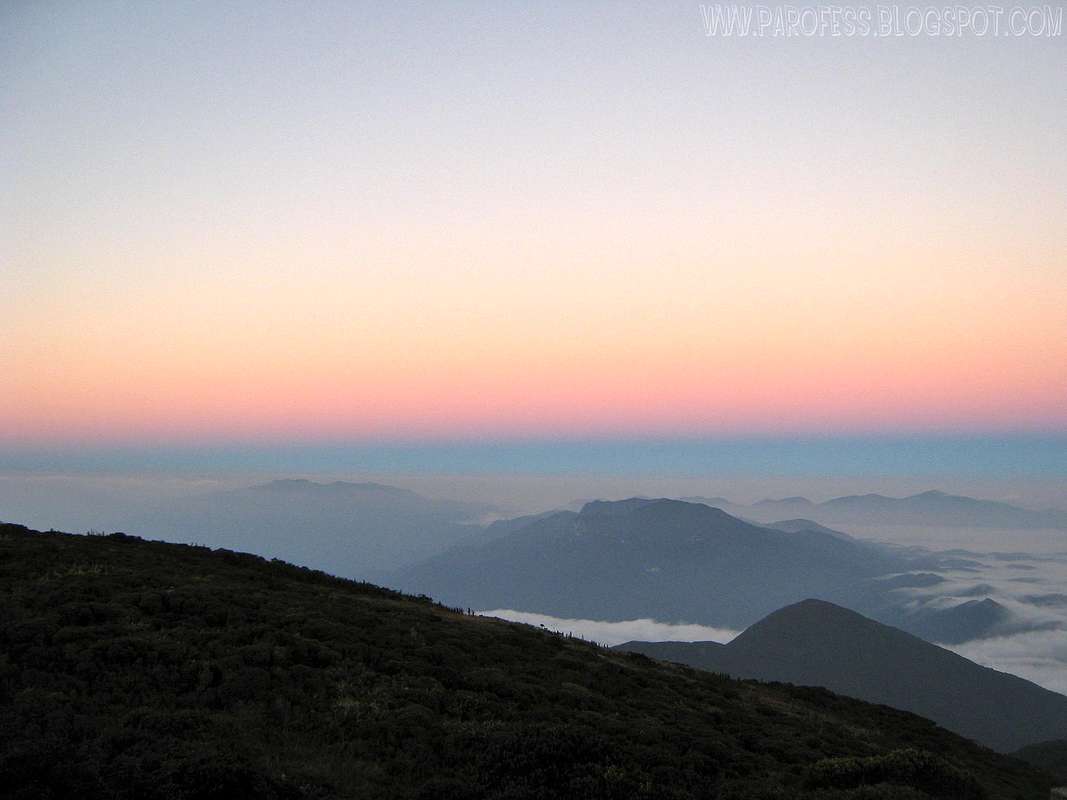


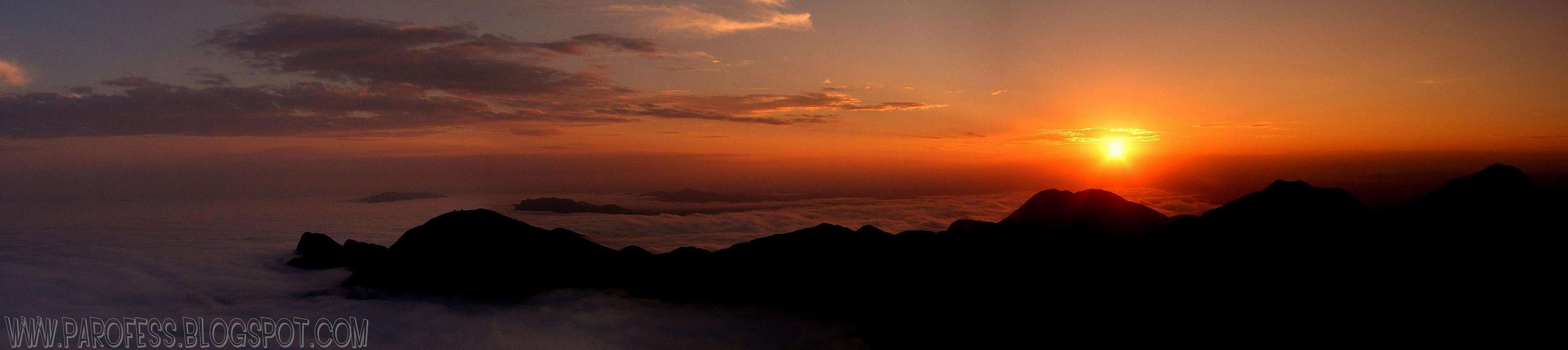
 As seen from almost the top of Luar Peak.2009.
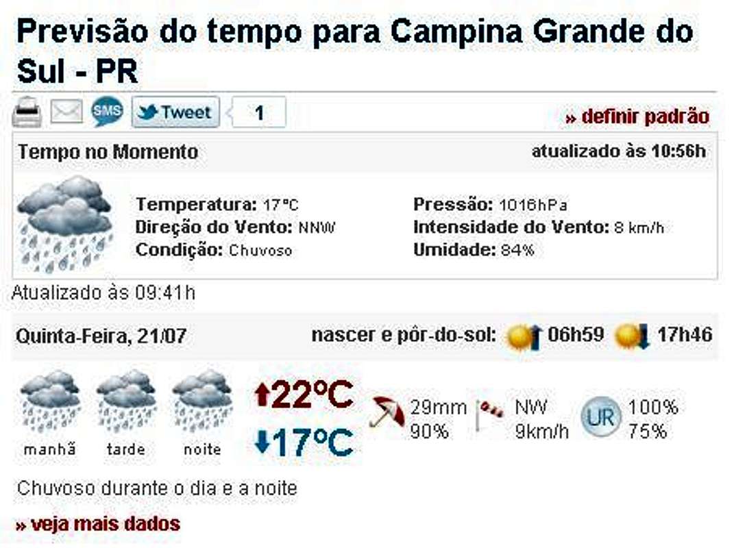
Weather Forecast
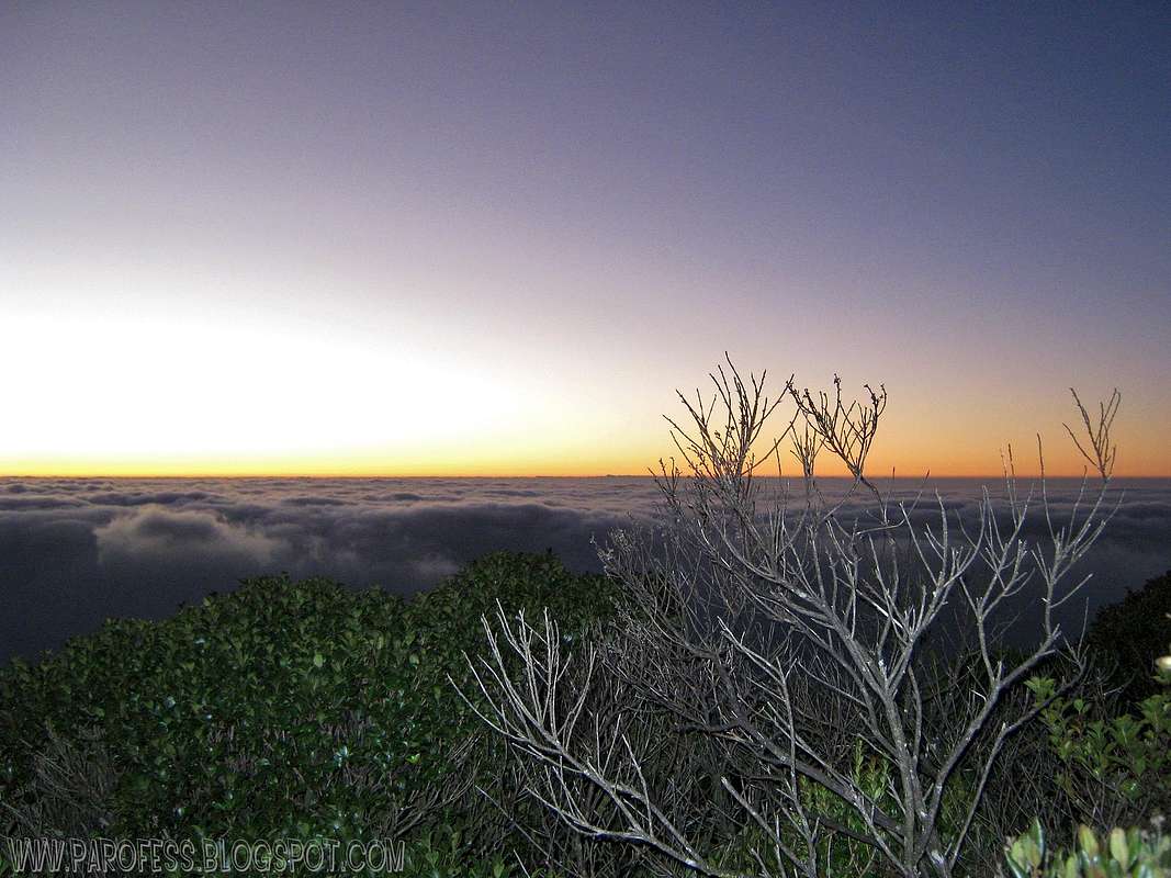
In winter the area is pretty cold, but the days are clearer. The temperatures going from -6°C to 15°C in day time with strong winds.Best time to climb: Late april to early September. Please, check the weather conditions first!
Legal Issues
To hike/ climb is a dangerous activity and requires proper equipment and clothing, the owner of this page cannot be blamed by injuries caused to anyone who read this page for its info about the mountain, and eventually got hurt by doing so with reckless behaviour or bad weather conditions.
Paulo Roberto Felipe Schmidt – AKA: PAROFES
External Links
A brazilian website to get mountains info, including gps files to download:http://www.rumos.net.br/rumos/My youtube channel: www.youtube.com/parofes - Now with 270+ videos online!
The biggest brazilian website about climbing and mountaineering, for which I'm a columnist: