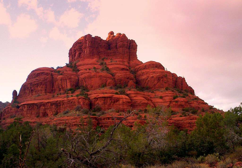
Approaching sunset near Bell Rock, Arizona.
Geology:
The Hermit Formation floodplain was covered by windblown sand dunes coming
form the northeast. Following this, the Pedregosa Sea washed in from the
southeast, reworking the dunes into a flat bedded sandstone layer called
the Schnebly Hills Formation. (The red colors are due to iron oxide staining the sandstone over time).
Beta:
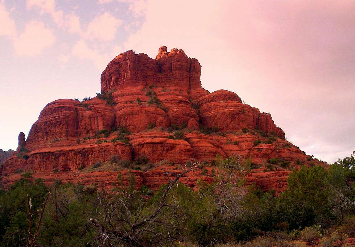
There's a "smooth wash" on the north (and center) of the Bell. You'll reach a spot where you have a choice between clambering up a six foot wall with narrow footholds, or scooting up a narrow slot in the rocks about two feet wide and eight feet tall. Proceed to a series of rock ledges to the right, followed by a simple set of "stair-steps" to the highest point you can reach without a rope. With ropes, the rating is 5.8 (1 or 2 pitches) to the summit, atop a 50-foot sandstone spire.
History:
Bell Rock was named by Abraham James, who was Sedona's first settler in 1879. James had been persuaded to move his family from Utah to the Verde Valley in 1879 by Oak Creek Canyon's first homesteader, J.J. Thompson, (who ended up marrying James' daughter, Magrett, in 1880). James built a cabin
on land occupied by Los Abrigados Resort, but unfortunately died in 1881
from pneumonia after being caught in a late summer downpour.
The Bell tolls for thee.
November 4, 2008


Comments
Post a Comment