Toggle navigation
Mountains
Routes
Images
Trip Reports
Forum
What's New
People
Areas & Ranges
Articles
Trailheads
Canyons
Huts & Campgrounds
Albums
Logistical Centers
Fact Sheets
Lists
Custom Objects
Gear
Plans & Partners
WELCOME TO SUMMITPOST
SIGN IN
REGISTER
Bass Peak
Additional Parents
Image
The Fin
View High-Resolution Image
The Fin
The "fin" on Grayling Point.
This interesting crag is located toward the west end of the ridge-line connecting Bass Creek Crags and Bass Peak.
(46.57398 W / 114.26003 W, elevation 8,472')
© Mike Hoyt, 19aug07.
« PREV
NEXT »
Michael Hoyt
on
Aug 20, 2007 11:50 am
Comments & voting
Other parents
Lat/Lon:
46.56860°N / 114.2101°W
Image Type(s):
Informational
,
Scenery
Image ID:
326177
2462 Hits
74.92
% Score
5
Votes
Log in to vote
Comments
Post a Comment
Viewing: 1-1 of 1
T Sharp
-
Aug 20, 2007 5:12 pm - Voted 10/10
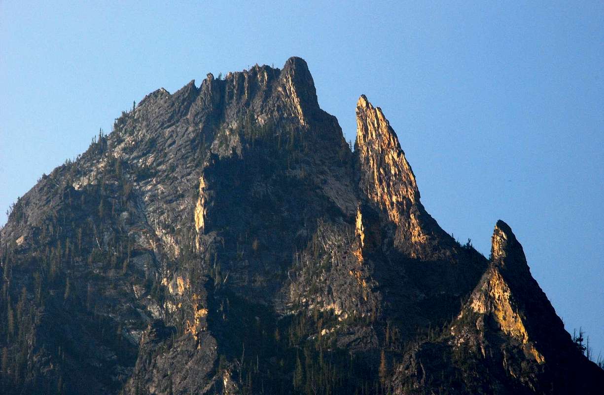
The Fins
Wow! Very interesting colorations to the granite on the "fins" Nice photo Mike!
Cheers;
Tim
Viewing: 1-1 of 1
to post!
Don't have an account?
Bass Peak
(Mountain/Rock)
« PREV
Viewing
#7 of 37
GALLERY
NEXT »
Michael Hoyt's Image Gallery
« PREV
Viewing
#668 of 1801
GALLERY
NEXT »
Bass Creek Crags
(Mountain/Rock)
Loading....
×
You need to login in order to vote!
User Name
Password
Remember me
Forgot your password?
Log me out when I close my browser.
Keep me logged in all the time.
sign in as a user
Don't have an account?
Register now for FREE
Rating available
Suggested routes for you
People who climb the same things as you
Comments Available
Create Albums
Register Here
Comments
Post a Comment