-
 6117 Hits
-
 75.81% Score
-
 6 Votes
|
|
Mountain/Rock |
|---|---|
|
|
43.16550°N / 109.64807°W |
|
|
Hiking, Mountaineering, Trad Climbing, Scrambling |
|
|
Spring, Summer, Fall |
|
|
13258 ft / 4041 m |
|
|
Overview
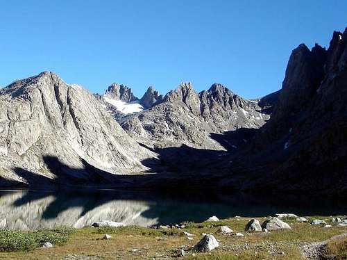
The Sphinx is an overlooked peak immediately east of the much more prominent Mount Woodrow Wilson. Sitting at 13258 feet, it only rises 300 feet or so from the saddle connecting it to Wilson, but that's just barely enough to consider it ranked, and included on the Wyoming 13ers list (see the list here). It's one of 10 13ers that encircles Titcomb Basin, and this one offers a fun, short class 3 scramble to a lofty perch that overlooks nearby giants. The profile of the Sphinx is what it's probably most known for, which looks just like an upside down parabola when viewed from Titcomb Basin.

Getting There
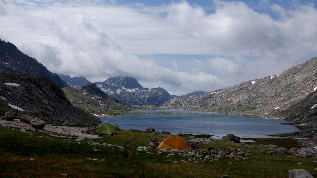
Use the Elkhart Park Trailhead accessed from Pinedale on the west side of the range and hike the Pole Creek Trail to Island Lake, passing by Photographers Point and Seneca Lake along the way. Just after passing over a small divide at 10,660 feet Island Lake will come into view. Descend to it and continue to the junction with the Titcomb and Indian Basin trails. Take the Titcomb Basin Trail heading north/leftward and hike past Lower and Upper Titcomb Lakes as the trail follows along their east shores. Base camp can be set up about 0.5 mile past the upper lake where many rock shelters have been built by Gannett Peak climbers and other backpackers.

Route - NW Face Class 3
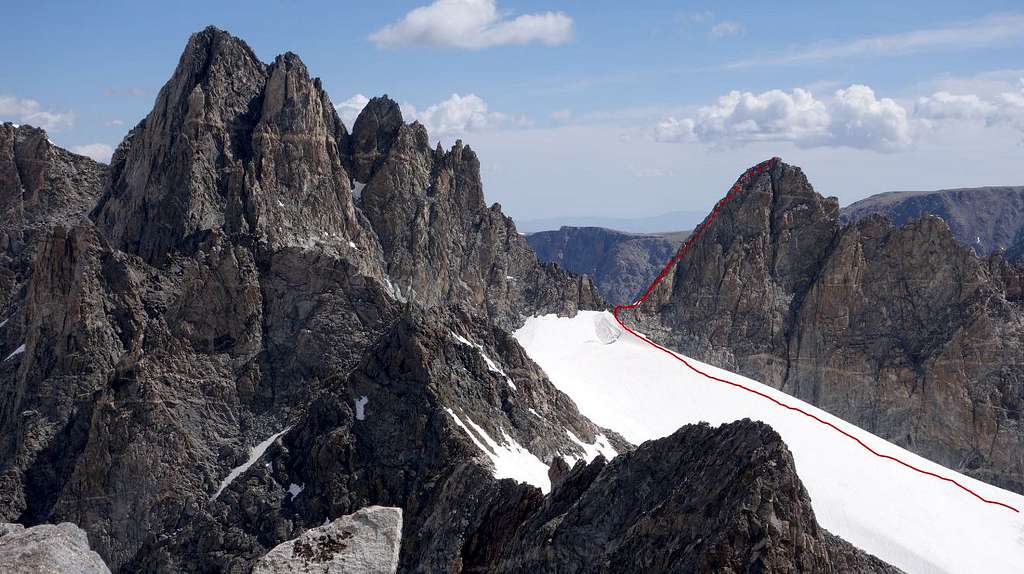
The easiest route up The Sphinx is the third class NW face which is ascended from the saddle between Sphinx and Woodrow Wilson. Getting to this saddle can be done from either the south (easier) via upper Titcomb Basin, or from the north via the southern arm of the Dinwoody Glacier. This way is much more difficult however due to a large bergschrund that blocks access to this saddle. In early season it will be covered but it opens up by July, leaving potentially a small bridge on its east end but no guarantees.
From Titcomb basin, walk up to the head of the valley and continue straight north into a small basin below the south faces of both The Sphinx and Wilson. Snow lingera all through this basin well into August, but the snow is never very steep. There is typically a narrow snow arete on the final bit of the uppermost remnant glacier before the saddle, but doesn't usually pose much difficulty. You will surely notice the huge gash cutting right through the middle of the south face of Woodrow Wilson; this is the South Couloir route which has a reputation for being a hoorible route when the snow melts out. Once at the saddle, the NW face of Sphinx presents itself. Stay on the left (north) side of the ridge and string together blocky steps following the path of least resistence. For a little more thrill and an increased difficulty, you van veer a little further to the left towards the north right on the final 50-60 feet of the scramble for a few moves of exposed class 4, and a look down the vertical north face. The route should not exceed class 3 however.

Red Tape/Camping
No red tape. Great Camping can be had 0.5 mile above upper Titcomb Lake, or near the junction of the Indian/Titcomb Basin Trails.
When to Climb
Best time for summer conditions will be July - Early September. Ski touring would be advisable before June. The initial hike towards Seneca Lakes dries out a little earlier, but tons of snow typically persists in Titcomb Basin past July 4th, but will normally dry out reasonably well shortly after mid July.
Map
This map shows the route up The Sphinx with a green line from a typical camp in Titcomb Basin. Combining with East Twin is also displayed.
External Links
My Trip Report of The Sphinx, and all the other 13ers in the Wind Rivers

