Toggle navigation
Mountains
Routes
Images
Trip Reports
Forum
What's New
People
Areas & Ranges
Articles
Trailheads
Canyons
Huts & Campgrounds
Albums
Logistical Centers
Fact Sheets
Lists
Custom Objects
Gear
Plans & Partners
WELCOME TO SUMMITPOST
SIGN IN
REGISTER
Samaniego Peak
Additional Parents
South Ridge
Image
The Sutherland Trail is...
View High-Resolution Image
The Sutherland Trail is...
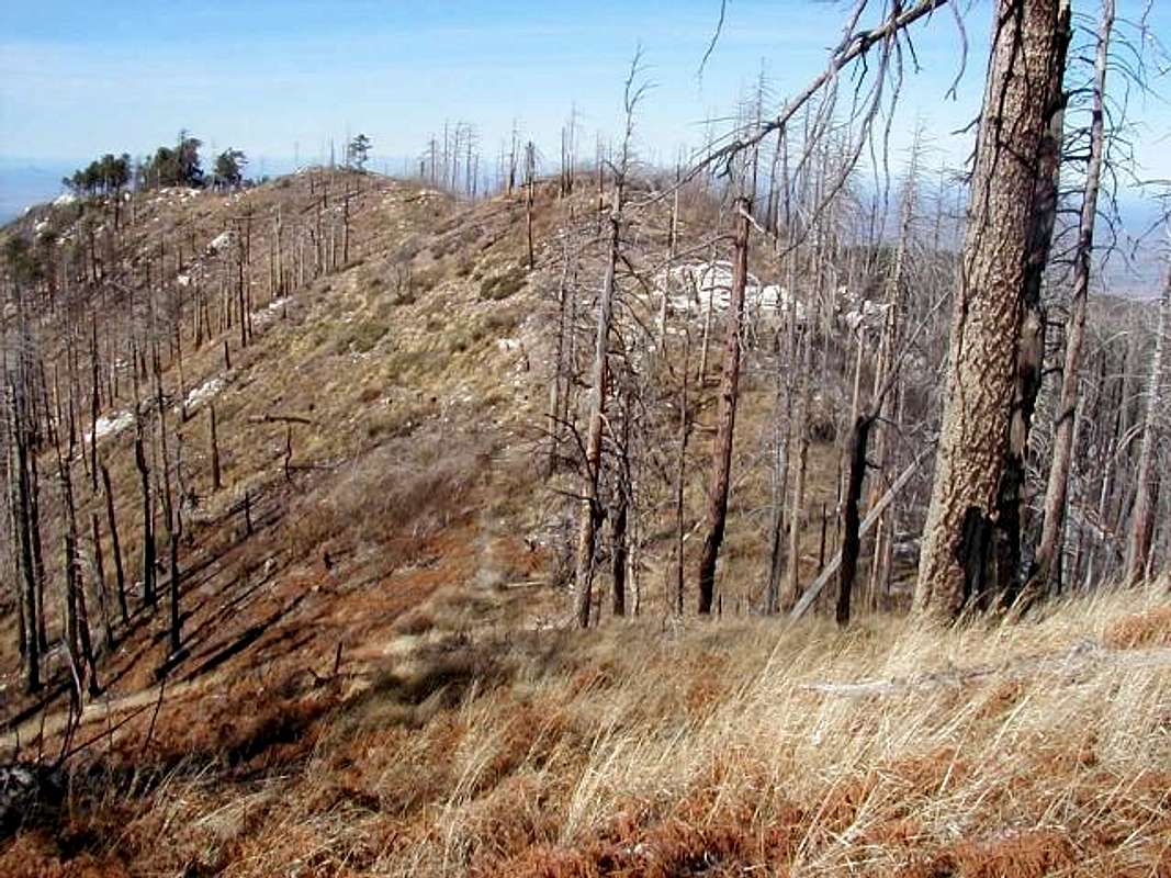
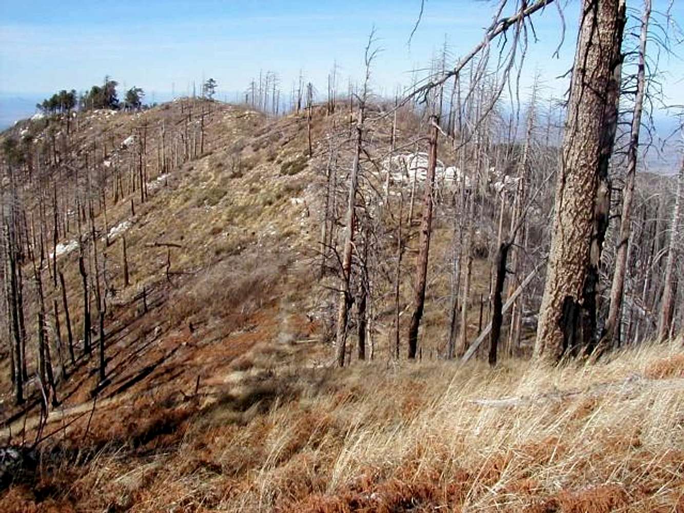
The Sutherland Trail is visible in this photo. Follow it west, along the south side of the connecting ridge. Morning view, looking west.
« PREV
NEXT »
Larry V
on
Jan 7, 2005 11:25 pm
Comments & voting
Other parents
Lat/Lon:
32.46950°N / 110.8176°W
Image ID:
84421
3031 Hits
74.29
% Score
5
Votes
Log in to vote
Comments
No comments posted yet.
to post!
Don't have an account?
Samaniego Peak
(Mountain/Rock)
« PREV
Viewing
#10 of 18
GALLERY
NEXT »
Larry V's Image Gallery
« PREV
Viewing
#251 of 488
GALLERY
NEXT »
South Ridge
(Route)
Loading....
×
You need to login in order to vote!
User Name
Password
Remember me
Forgot your password?
Log me out when I close my browser.
Keep me logged in all the time.
sign in as a user
Don't have an account?
Register now for FREE
Rating available
Suggested routes for you
People who climb the same things as you
Comments Available
Create Albums
Register Here


