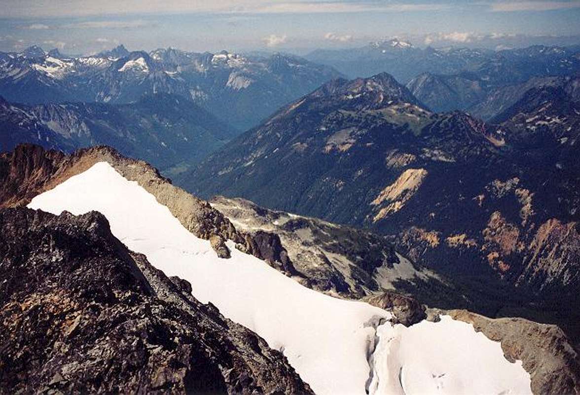
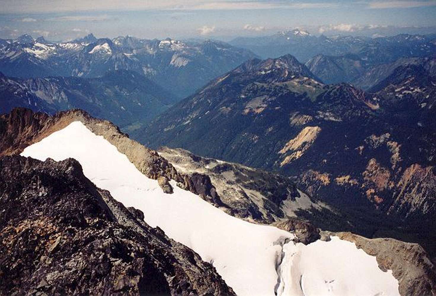
The view WNW from the summit on August 3, 2003. The two peaks at far left are American Border and Canadian Border peaks. The sharp peak to their right is
Slesse Mountain. Mt. Lindeman (7,578 ft) is directly in front of Slesse and Mt. McDonald is to Lindeman's right. The major drainage visible is Depot Creek. At bottom is the Custer Glacier. All the other peaks at right are deeper into Canada and I'm not sure what their names are.


