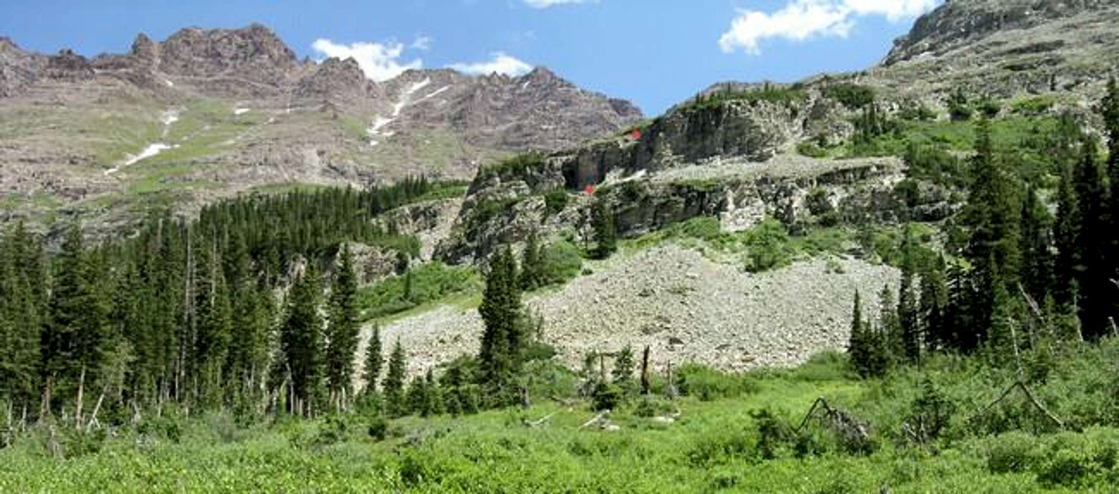
This may be the most imformative route photo I submit. From the West Maroon Trail, here is a view of the area below the upper basin. The red dots show the weaknesses in the cliff bands. There are no trails getting you to these boulder strewn gully's.


