
This photo shows the route...
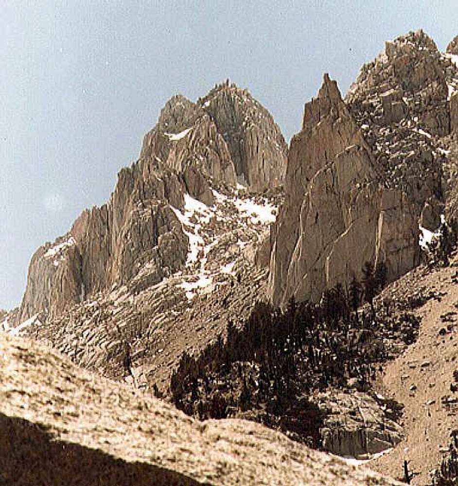
This photo shows the route into the upper cirque below the east face of Mount Corcoran. On the right is the Tuttle Obelisk, and on the left is the snout of the ridge east of Corcoran. Tuttle Creek continues up to the left (out of photo).
Below the mouth of the cirque, the slabs on the left are very steep with waterfalls. The scree and talus on the right are very loose. The best ascent route is to climb big easy ledges below the Obelisk, then follow the cliffs into the cirque. Descending through the scree is faster as a descent, but often too dangerous for scree-skiing.


