

Scott - Jan 22, 2005 12:10 pm - Voted 10/10
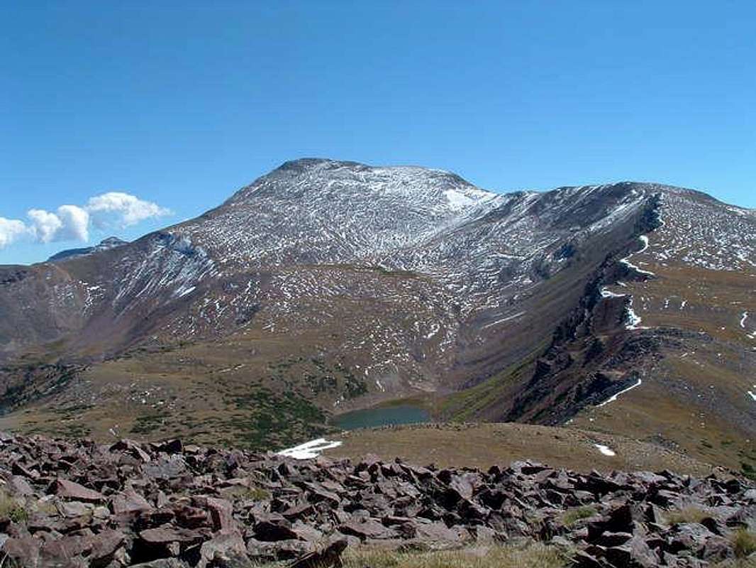
RoutesThis is a perfect photograph to demonstrate the three northern routes added to the page. Hope you don't mind me using the photo top point out the routes.
This photo was taken from the Northwest Ridge Route at point 11,885 as described on the route page.
The Middle Fork Blacks Fork-Bobs Lake Route is also visible. The route ascends the slope just to the left of the very broad gully (which could also be used) from the lake the slope and then up the northern slopes (center of photograph) to the summit.
The Northeast Ridge Route forms the left hand skyline. (Notice the peak poking up the background above the ridge. This is Peak 13,032 "East Lovenia" and is accross the East Fork Blacks Fork Basin).

Matthew Van Horn - Jan 3, 2013 1:43 pm - Hasn't voted
Correct?Is this not looking South/South East? Is that Bob's lake in the foreground?

vanman798 - Aug 24, 2016 6:11 pm - Hasn't voted
Re: Correct?Doesn't from the North, imply looking south? It does to me. :)

whnelson - Jan 3, 2013 5:21 pm - Hasn't voted
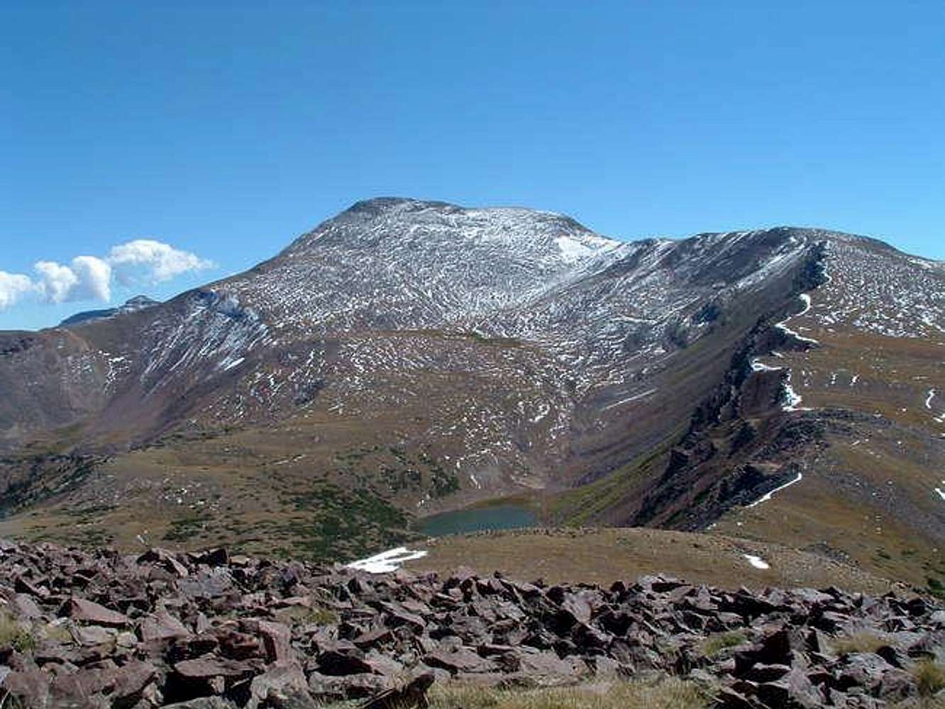
TokewannaHeading is correct and that is Bob's Lake.
Feel free to post this picture.


Comments
Post a Comment