
Viewing: 1-2 of 2
hikeforchrist - Jan 15, 2006 2:40 pm - Hasn't voted
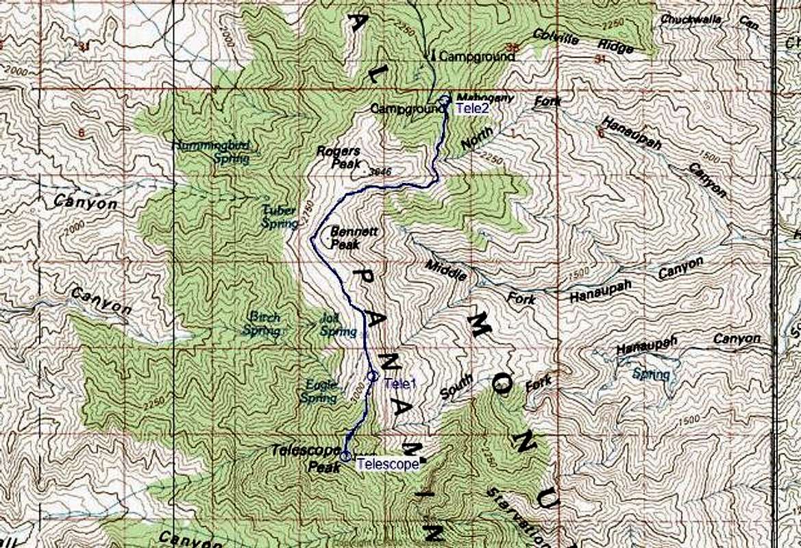
Thanks for the Topo!Do you think hiking Telescope in early May would be doable for someone with no crampons and snowshoes? I winter hike often in the Whites of New Hampshire and wondered if it would be doable to do Telescope in early May. Thanks!

Dennis Poulin - Jan 16, 2006 12:04 pm - Hasn't voted
Re: Thanks for the Topo!Yes! That is of course if you can get up the road to the Mahogany Campground. The road is steep and rough above the charcoal kilns.
If there is a lot of snow on the trail, I would take the road over Bennett Peak and then follow the broad ridgeline to Telescope. The trail traverses along a steep slope on the west side of Bennett and it may be problematic with a heavy icy snow cover.
Viewing: 1-2 of 2


Comments
Post a Comment