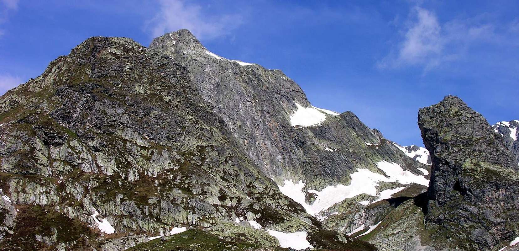
This strange looking mountain, near the lowest part of the more important summit Pain de Sucre, has the shape of a big tower leaning toward SW with an overhanging wall of about 100m.
Strana montagna a forma di grande torrione roccioso inclinato verso SW dove presenta una parete strapiombante di circa 100 metri, ai piedi della più importante vetta del Pain de Sucre.
First Ascents
First ascent on the summit: Unknown.
First ascent in winter: Unknown.
Getting There
BY CAR:
From Torino, Milano, etc: Motorway A5. Exit Aosta Est.
From Switzerland: through the Grand St. Bernard Tunnel or the homonym pass.
From France: through Mont Blanc Tunnel or Petit St. Bernard Pass. It isn't necessary to enter in Motorway A5, you can drive through SS.26 Aosta direction.
BY PLANE:
Aeroporto "Corrado Gex" Saint Christophe (Aosta).
Itinerary
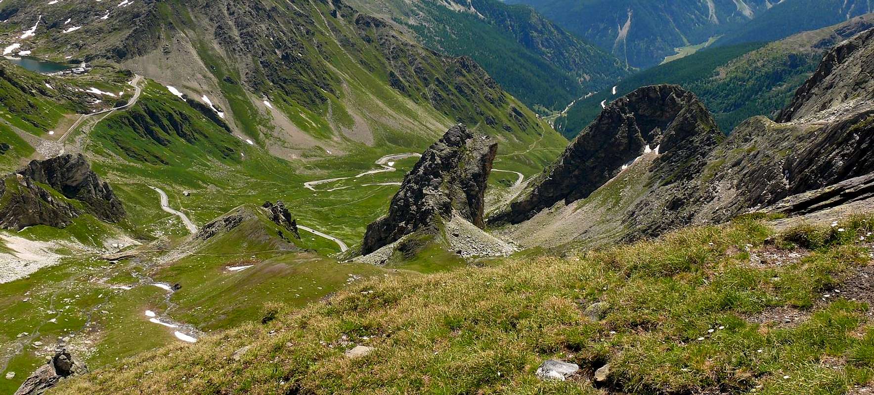
From Aosta drive along the Gran San Bernardo Road (SS.27) and, after Gignod, Etroubles and Saint Oyen you must leave to your left the road to the Tunnel driving toward Saint Rhémy en Bosses along the valley endin to the pass. After many hairpins and passing Pra di Arc Pastures (1.992m), and the Cantina Reggia Dogana (2.203m) you get a small car parking near the Alpe Baou (2.356m) wherefrom starts the route to Tour des Fous.
Dalla Città di Aosta (583 m) salire lungo la SS.27 del Gran San Bernardo e, dopo aver superato i Paesi di Gignod (988 m), Etroubles (1.264 m), e Saint Oyen (1.373 m), lasciare sulla sinistra la strada che porta al Tunnel del Gran San Bernardo. Salire verso Saint Rhémy en Bosses (1.632 m) continuando lungo il vallone che porta al Colle, dopo numerosi tornanti si supera l'Alpeggio di Pra di Arc (1.992 m), la Cantina Reggia Dogana (2.203 m), e, raggiunto un piccolo parcheggio nei pressi dell'Alpe Baou (2.356 m), si inizia la salita alla Tour des Fous.
Route
From the Gran San Bernardo Road (SS.27) (or from the parking in the alpine Pasture Baou 2.356m), follow for little meters the path that carries to the Colle Fenêtre, therefore to turn left and on tracks little visible across large blocks to climb directly on rocks routes and unstable reaching the summit for a crack of the pouring eastern (0h'35/4h'45).
Dalla SS.27 a quota 2.320 m (oppure dal parcheggio nei pressi dell'Alpe Baou 2.356 m dopo una breve discesa), seguire per pochi metri il sentiero che porta al Colle Fenêtre, quindi voltare verso sinistra e su tracce poco visibili attraverso grandi blocchi arrampicarsi direttamente su rocce rotte e instabili raggiungendo la sommità per una fessura del versante orientale (0h'35/4h'45).
Difficulty
Not Easy - AD - passages up to the III+ (UIAA) with some exposure.
AD, con passaggi dal II° al III+ (tratti esposti).
Campings
Remember that free camping is forbidden (except for emergency reasons, over 2.500m, from darkness until dawn).
Gear
Mountaineering equipment: rope, pitons, carabiniers, helmet and some binds.
Corda, chiodi da roccia, moschettoni, casco e qualche fettuccia.
Mountain Conditions
You can get meteo information at the official site of the Regione Valle d'Aosta:
Parents refers to a larger category under which an object falls. For example, theAconcagua mountain page has the 'Aconcagua Group' and the 'Seven Summits' asparents and is a parent itself to many routes, photos, and Trip Reports.

 5238 Hits
 86.85% Score
 23 Votes