

Bob Sihler - Apr 1, 2008 9:26 pm - Voted 10/10
Nice pictureand also great work with the information. A very good contribution to SP!
Cheers, Bob

Tomas Kristofory - Apr 1, 2008 9:35 pm - Hasn't voted
Re: Nice pictureHi Bob, thanks for your appreciation. I hope to spend more time in mountains this year than in previous and add better contributions to the SP than in the previous year, too. Cheers Tomas :)

lcarreau - Apr 9, 2008 10:55 am - Voted 10/10
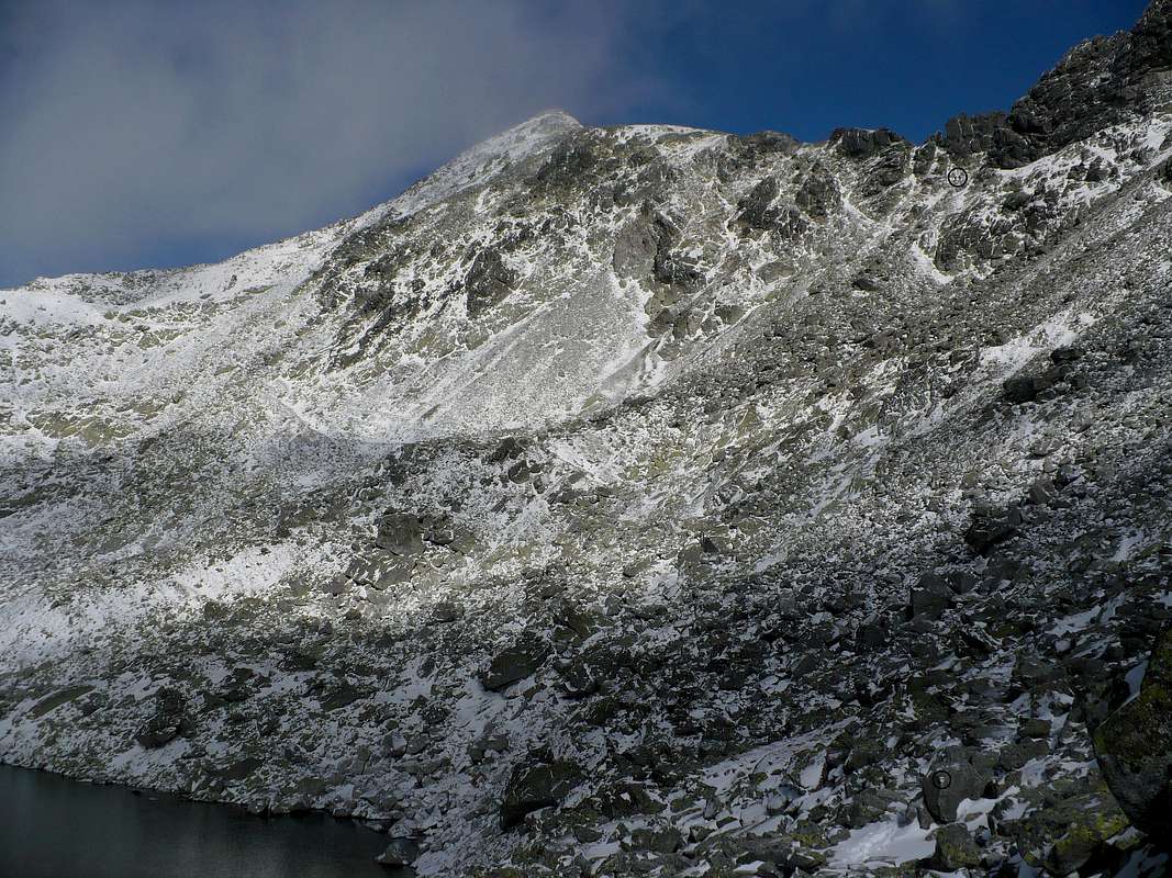
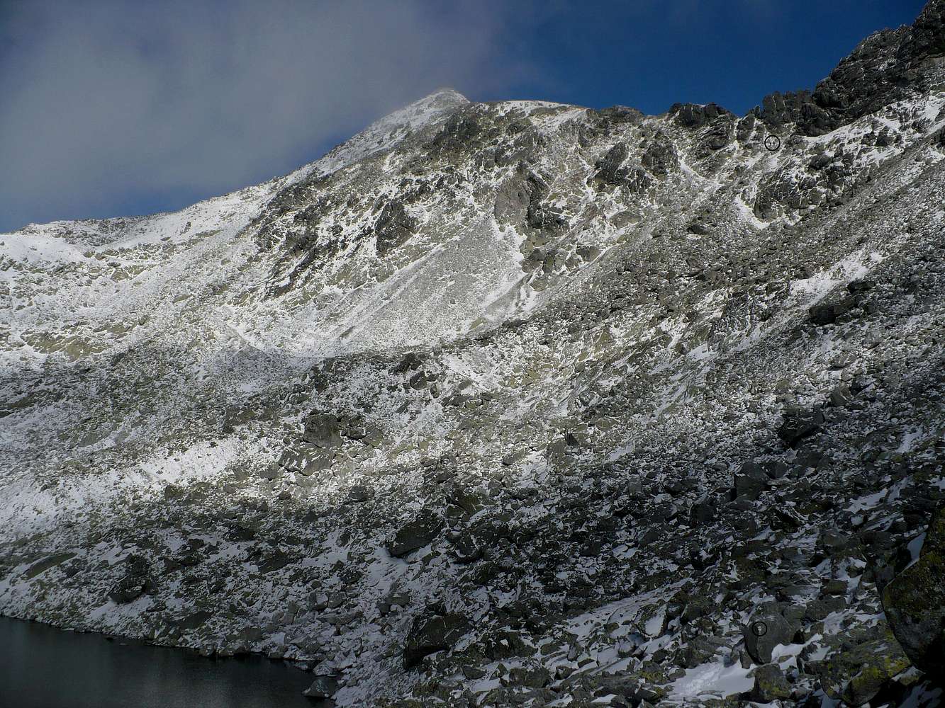
Yes ...The hikers went or hiked from the black
circle on the bottom to the black circle
seen near the top? That's amazing. How
long (in time) were they able to
accomplish this challenge? Did it take
them approximately two hours to reach the
position where they are now? That looks
like a difficult trail to take, in
American standards. No wonder most
Americans seem to be out of shape and
gaining some body weight! They always
take the EASY way from point A to point B.
- Larry of AZ
Tomas Kristofory - Apr 9, 2008 11:47 am - Hasn't voted
Re: Yes ...This is the easiest route to Bystré saddle, so Slovaks are lazy as well :) The altitude gain is only 180 meters and it is less than 1 km away. It takes no more than 30 minutes to get there. The route goes along the shore of the tarn and from the point at the shore what is the nearest to the saddle, it goes up via zig-zag trail. You just go up, no challenge until position of those two mountaineers. Challenging is the last part, last 10 meters below the saddle. Chains are placed to secure yourself. Everything was frozen and it was dangerous without crampons still at the moment we went up. My mate didn't actually reach the saddle, he waited for me below chains section. Cheers to Arizona, Tomas :)


Comments
Post a Comment