

Chic Burge - May 29, 2014 10:16 pm - Voted 10/10
ChicMonica,
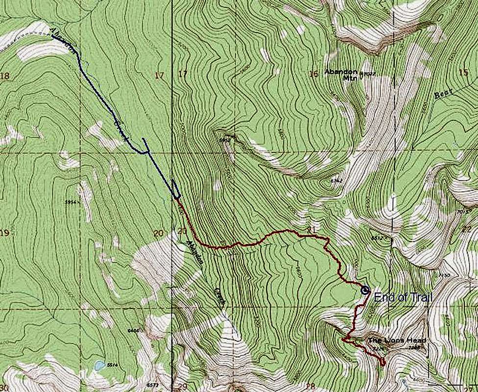
Two years ago a friend and I were going to Lookout Mt and followed Dennis Nickols' guide book. The book does not say to turn onto 43 again and we ended up at the Abandon Creek "trailhead". We decided to follow the red tape and unfortunately found ourselves on peak 5952 in dense fog. Two weeks later we retraced our steps to 5952 in bright sunlight and few clouds. The photography was spectacular and we decided to hike in this year to the area you mentioned as the end of the trail, to set up camp. I nicknamed the drainage the Cirque of Spires, due to the rock spires on the SW ridge of the trail & creek. I am going to Priest Lake this year to interview an old timer in the Spokane Mountaineers, and am going to attempt crossing Abandon Creek and accessing the SW ridge towards the spires. Other ares we want to explore are Abandon Peak and the huge rock face cliffs near peak 6512.

Moni - Jun 2, 2014 10:08 am - Hasn't voted
Re: ChicSounds like fun! It is a lovely area.


Comments
Post a Comment