
|
|
Route |
|---|---|
|
|
46.16461°N / 9.23950°E |
|
|
Hiking |
|
|
Most of a day |
|
|
UIAA I |
|
|
Approach
This route join the southern and northern grigna so you can decide to cover it from both directions. If you prefer to start from Piani Resinelli (my prefer choice) reach Lecco, than follow Valsassina indications, once you are in Ballabio turn to the left following Piani Resinelli. Park the car in one of the big car parking just arrived in Piani Resinelli.If you decide to start from Northern Grigna you have to overtake Ballabio, reach Balisio and just before the big shop Alva turn on the left into a small white road and follow it until a church where is it possible to park the car.
From here follow the indications for Pialeral Ref. and then for the summit.
4 hrs, high difference 1300m.
I don't describe this route but the opposite one.
Route Description
Reach the Southern Grigna (Grignetta) summit along your favorite route:
- Cermenati ridge, normal route, 1.45 hrs.
- Sinigaglia ridge, longer but not boring as Cermenati, few rock passages, 2.15 hrs.
- Direttissima (route description).
- Canalone Porta (route description).
Once you are on the top you have to descend, just few meters under the Ferrario bivouac chains starts; pay attention to a little bit steep wall and proceed following the mark number 7 until a saddle where start a rock channel named "Canalino Federazione". 2150 m, 15minutes from the summit.
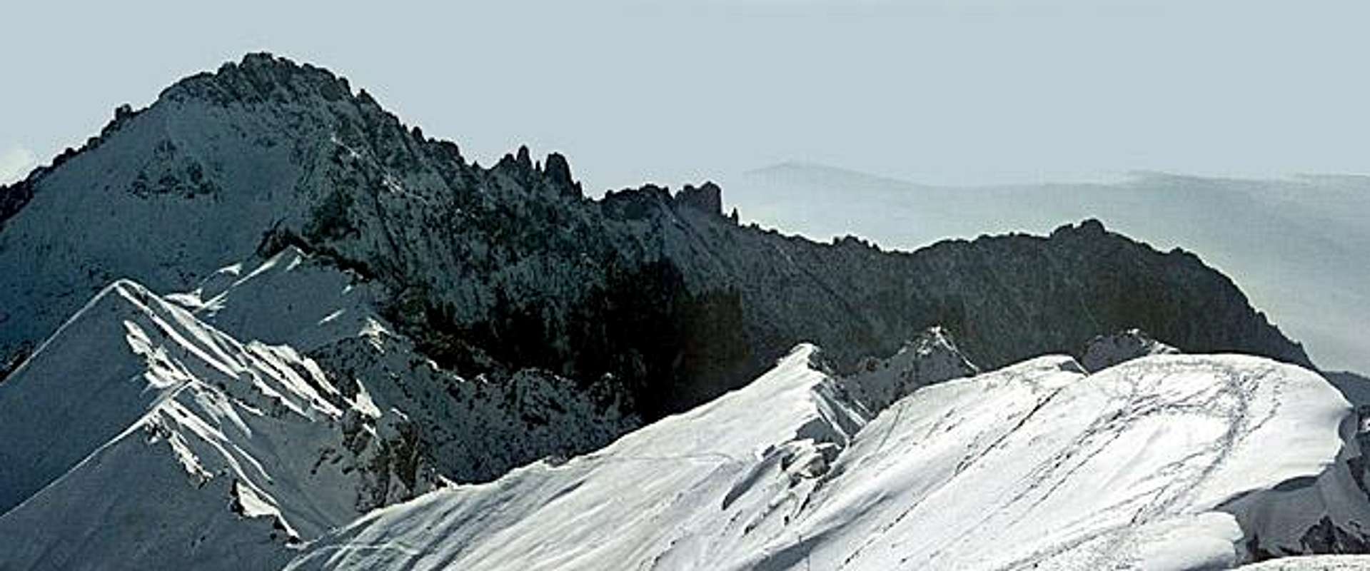
Turn to the left entering Canalino Federazione and descend (rock passages) reaching a small saddle "Bocchetta del Giardino" (2004m) with a nice view of the northern side of grignetta and Rosalba Refuge. now you are entering a big valley named Conca di Campione, you have to descend into it reaching a point called "Buco di Grigna", the maximukm depression between Southern and Northern Grigna, 1803m, -374m from the top. 45 min from the top.
Here begin the ascent to Northern Grigna, early you encounter a wall with a couple of chains indicates you are climbing the first of the three Tremare Shields. Follow always the mark number 7 climbing those rocks with the help of the chains.
At the end of the third rock band you are on a ridge conducting you to the ANA bivouac (2144m, 2 hrs from the top of grignetta). From here the Brioschi Refuge (top of Grignone) is clearly visible so follow the ridge without difficulties. From the top of grignetta 2.30 - 3 hrs max. Difference in high 600m.
Now you have to decide how to come back to Piani Resinelli:
- you can walk back to the same itinerary
- or you can descend the east flank of Northern Grigna, reach the Pialeral Refuge and cover the route named Traversata Bassa to come back to Piani Resinelli (suggested option).
Once arrived at Pialeral Refuge continue the descent until you cross the road coming from Balisio. (25 min from Pialeral Ref).
Turn to the right follow the indications Traversata Bassa, mark number 6.
Following the path you enter a wood, not steep and very nice, reaching a water source near a cross. Turn on the right and continue the ascent until a large stony channel that you have to cross and then you'll arrive to a disrupted hut, continue the ascent reaching a saddle with another hut (selletta di Cassino, 1380m, 1.30 hrs from Pialeral Ref.).
In few minutes along the resinelli road you arrive at SEM Refuge and then to the car parking of Resinelli. 2hrs from Pialeral Refuge.
In this way you can visit almost all the Grigne group realizing a beautiful circle itinerary.
| TIME SUMMARY from Piani Resinelli | |
| to reach Grignetta summit | 2 hrs |
| to reach Grignone summit | 3 hrs |
| to reach Pialeral Refuge | 1 hr |
| to reach Piani Resinelli | 2 hrs |
 |
Essential Gear
Normal hiking gear.If you are not confident with rock passages maybe a pair of carabiners and few meters of rope could be useful.
Crampons could be useful in the late spring (sometimes till early june).
If you like to try this long route in winter, ice axe, crampons and a pair of screws are mandatory.