Toggle navigation
Mountains
Routes
Images
Trip Reports
Forum
What's New
People
Areas & Ranges
Articles
Trailheads
Canyons
Huts & Campgrounds
Albums
Logistical Centers
Fact Sheets
Lists
Custom Objects
Gear
Plans & Partners
WELCOME TO SUMMITPOST
SIGN IN
REGISTER
Rock Roll Peak
Additional Parents
Image
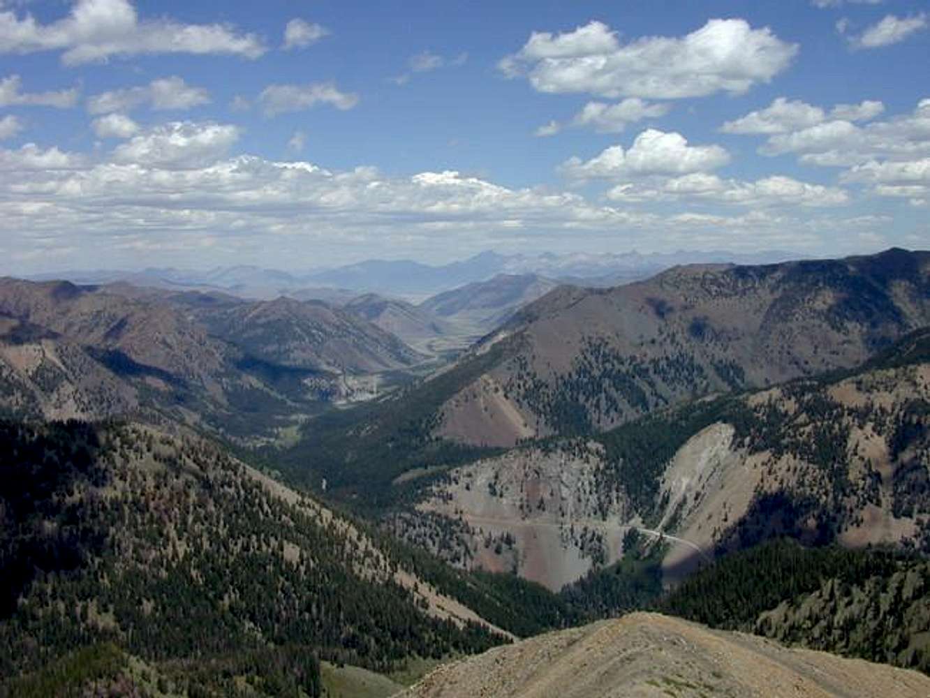
Upper Trail Creek road and...
View High-Resolution Image
Upper Trail Creek road and...
Upper Trail Creek road and the Summit Creek/North Fork Big Lost river drainage with the Lost River Range in the distance. From Rock Roll summit. 7/24/05
« PREV
NEXT »
garchov
on
Jul 24, 2005 9:17 pm
Comments & voting
Other parents
Lat/Lon:
43.80050°N / 114.2915°W
Image ID:
116391
961 Hits
73.05
% Score
3
Votes
Log in to vote
Comments
No comments posted yet.
to post!
Don't have an account?
Rock Roll Peak
(Mountain/Rock)
« PREV
Viewing
#25 of 40
GALLERY
NEXT »
garchov's Image Gallery
« PREV
Viewing
#178 of 279
GALLERY
NEXT »
×
You need to login in order to vote!
User Name
Password
Remember me
Forgot your password?
Log me out when I close my browser.
Keep me logged in all the time.
sign in as a user
Don't have an account?
Register now for FREE
Rating available
Suggested routes for you
People who climb the same things as you
Comments Available
Create Albums
Register Here


