Toggle navigation
Mountains
Routes
Images
Trip Reports
Forum
What's New
People
Areas & Ranges
Articles
Trailheads
Canyons
Huts & Campgrounds
Albums
Logistical Centers
Fact Sheets
Lists
Custom Objects
Gear
Plans & Partners
WELCOME TO SUMMITPOST
SIGN IN
REGISTER
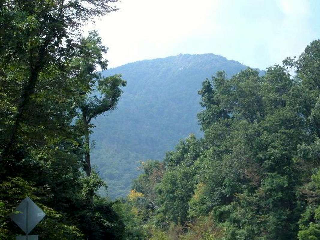
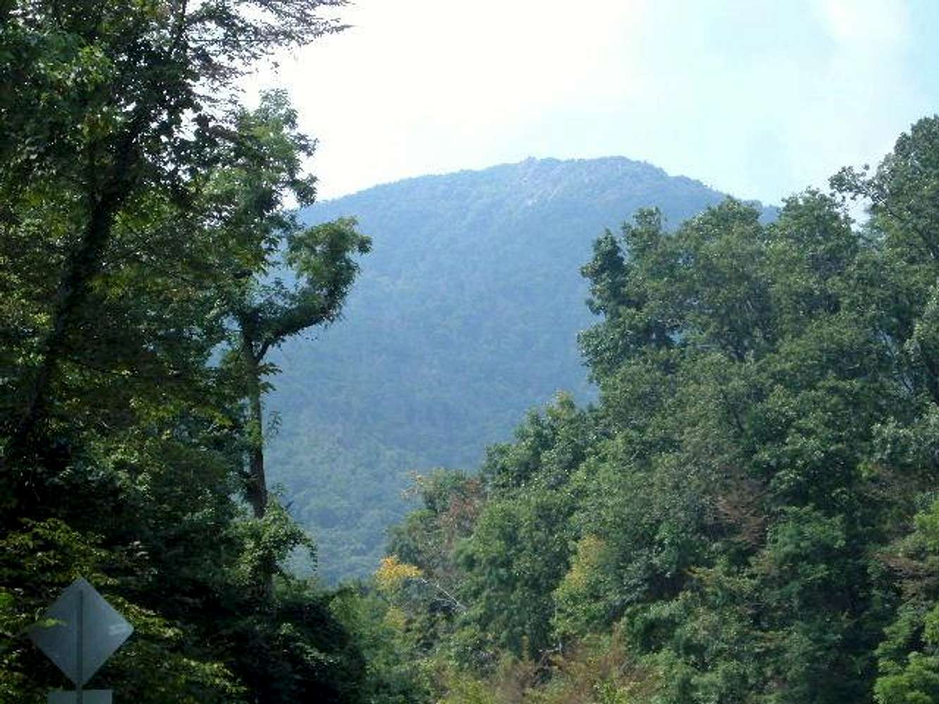
Mary's Rock
Additional Parents
Image
View of the upper areas of...
View High-Resolution Image
View of the upper areas of...
View of the upper areas of Mary's Rock from Route 211, near the Thornton Gap entrance to Skyline Drive.
« PREV
NEXT »
hgrapid
on
Aug 15, 2004 9:24 pm
Comments & voting
Other parents
Lat/Lon:
38.64970°N / 78.3175°W
Image ID:
65003
1468 Hits
72.38
% Score
3
Votes
Log in to vote
Comments
No comments posted yet.
to post!
Don't have an account?
Mary's Rock
(Mountain/Rock)
« PREV
Viewing
#43 of 65
GALLERY
NEXT »
hgrapid's Image Gallery
« PREV
Viewing
#1080 of 5281
GALLERY
NEXT »
×
You need to login in order to vote!
User Name
Password
Remember me
Forgot your password?
Log me out when I close my browser.
Keep me logged in all the time.
sign in as a user
Don't have an account?
Register now for FREE
Rating available
Suggested routes for you
People who climb the same things as you
Comments Available
Create Albums
Register Here


