|
|
Mountain/Rock |
|---|---|
|
|
35.97120°N / 121.4509°W |
|
|
Mountaineering |
|
|
Spring, Summer, Fall, Winter |
|
|
3306 ft / 1008 m |
|
|
Overview
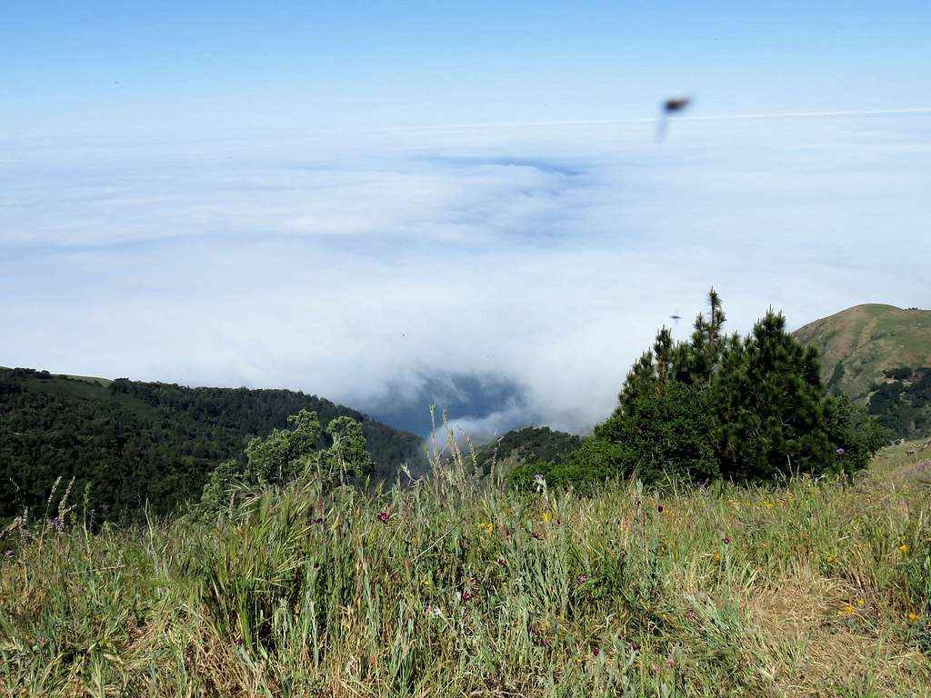
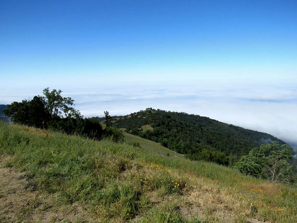
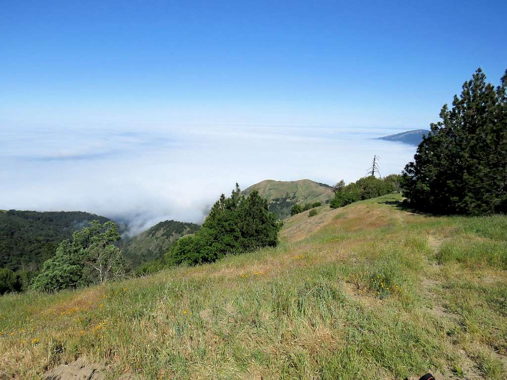
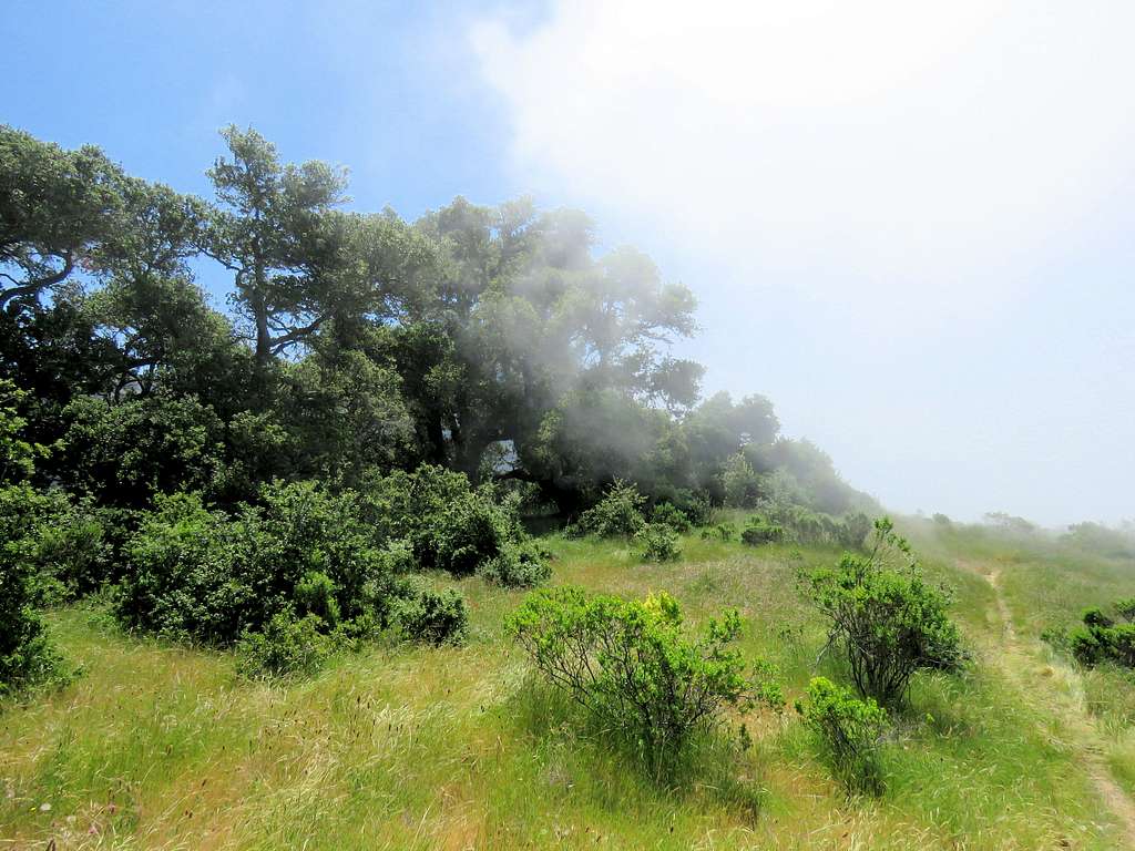
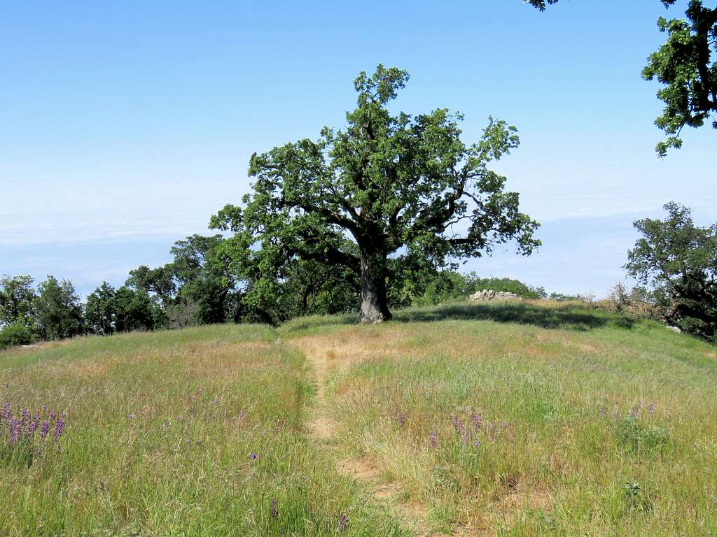
Prewitt Ridge is only 2 miles away from the Pacific Ocean but rises 3306 ft above it. Prewitt Ridge is not a ranked peak. It is a flat-top ridge that serves as a fairly popular camp site in California's coastal mountains a few hours drive south of San Francisco. Most people reach the top of Prewitt Ridge via dirt roads that approach it form the east. A trail starts on California’s coastal highway and goes up the steep western slopes of Prewitt Ridge providing you with a nearly uninterrupted view of the ocean (assuming no cloud cover) to reach the top of Prewitt Ridge. You are unlikely to see other hiker on the trail but will share the top with campers who have driven there. Mountain bikers may be encountered rolling down the trail.
Getting There
I found no signs on the highway for the trailhead. See attached map.
From Cambria, California, drive roughly 40 miles north on Route 1. North of Gorda (not a real town, just name of a place), after crossing an inconspicuous bridge over Prewitt Creek, look on the east side of the road to see a gated dirt road with “Private Property” sign over it. On the south side of the gate, you will find a beaten path. If you walk onto the path, you will find a sign for Prewitt Ridge Trail behind the bush (Was like that on the day that I did the hike, things can obviously change). There is space to park a few cars on the side of the road.
Route
Trailhead Elevation: 130 ft
Elevation at top: 3240 ft
Roundtrip Distance: 7.8 miles
The trail that I followed, took a slightly different path than what the sign on the trail indicated. I had read on line that the sign on the trail was misleading. Having looked at the satellite photos, I had found an obvious trail that took me to the top as shown on the attached map.
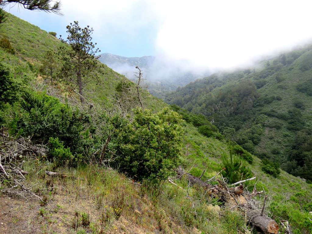
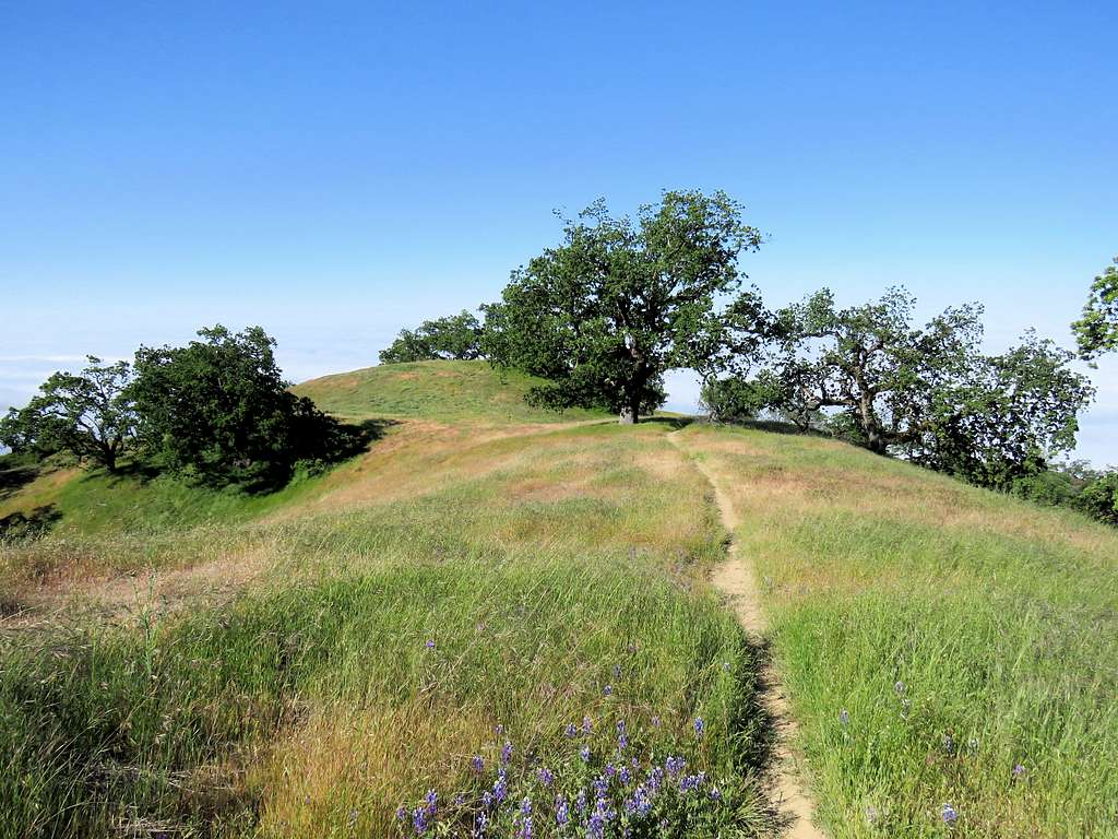
Looking up the slopes at/near trailhead.
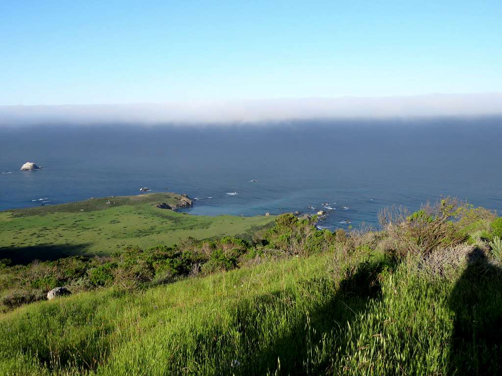
Shoreline.
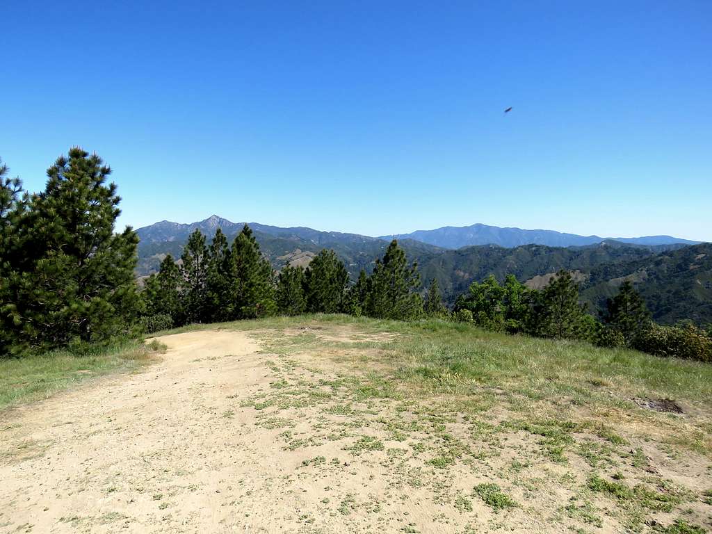
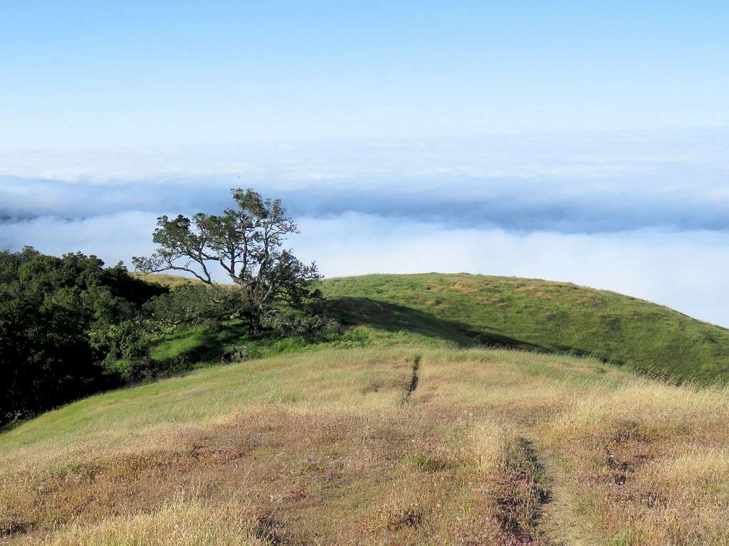
Going above clouds/Cone Peak.
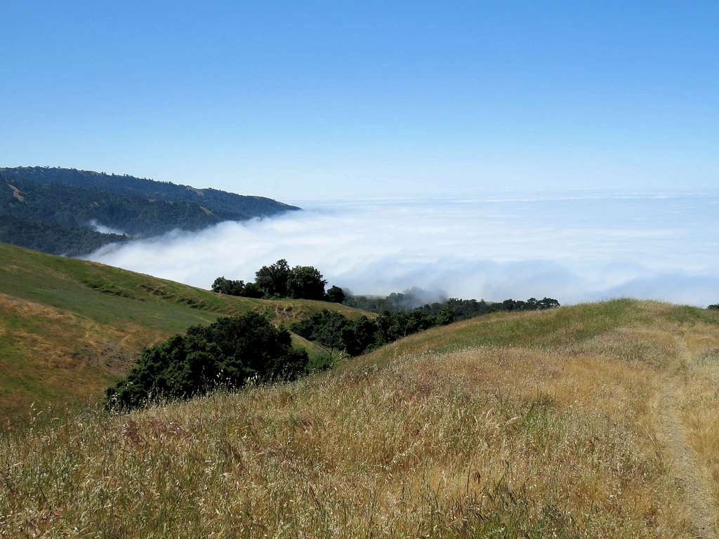
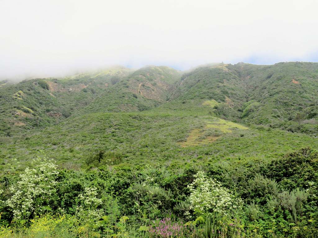
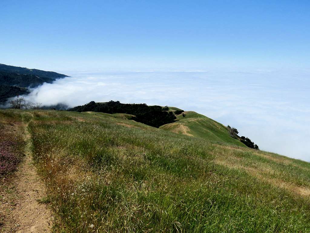
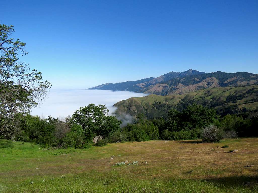
The beautiful slopes and cloud covered ocean.
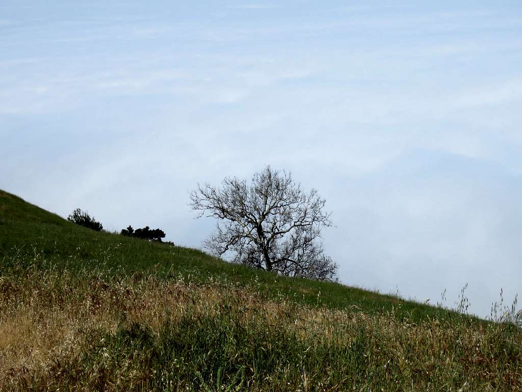
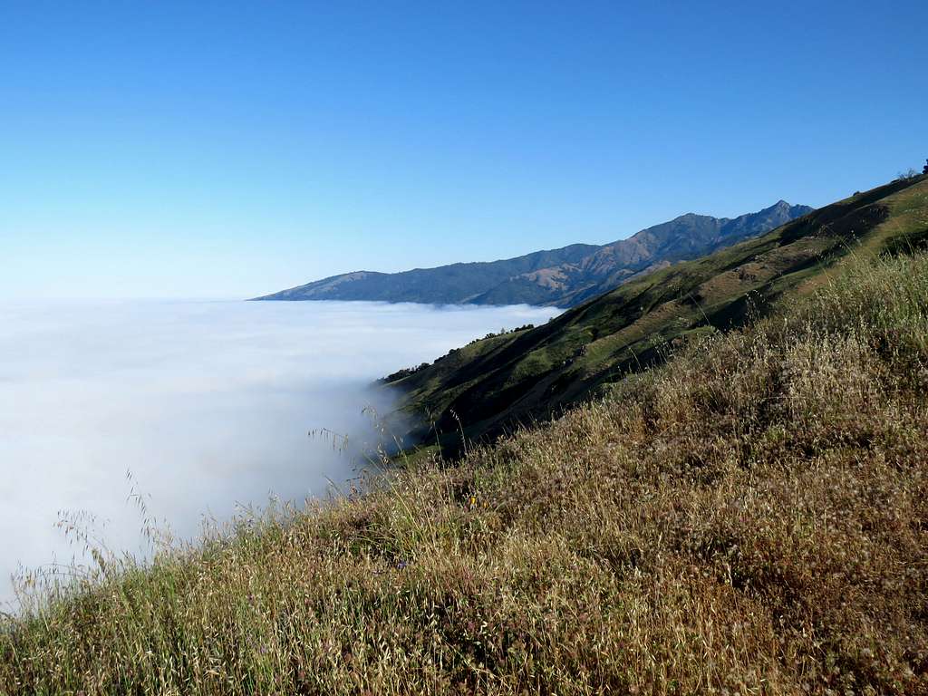
Break in the clouds, ocean visible partially.
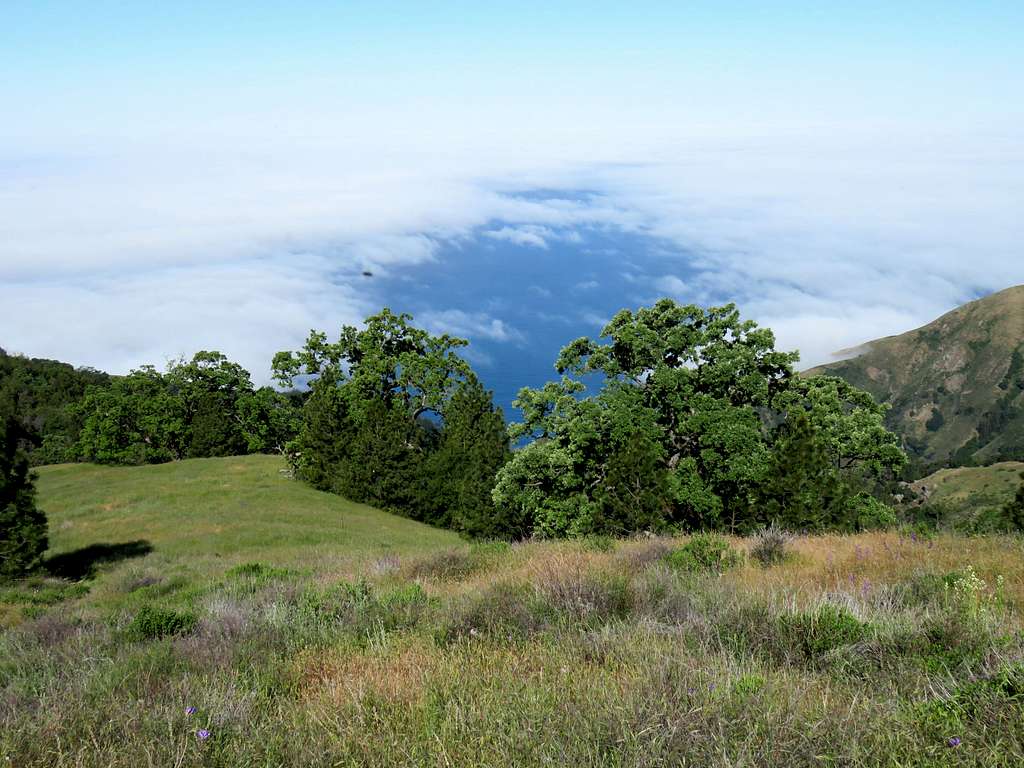
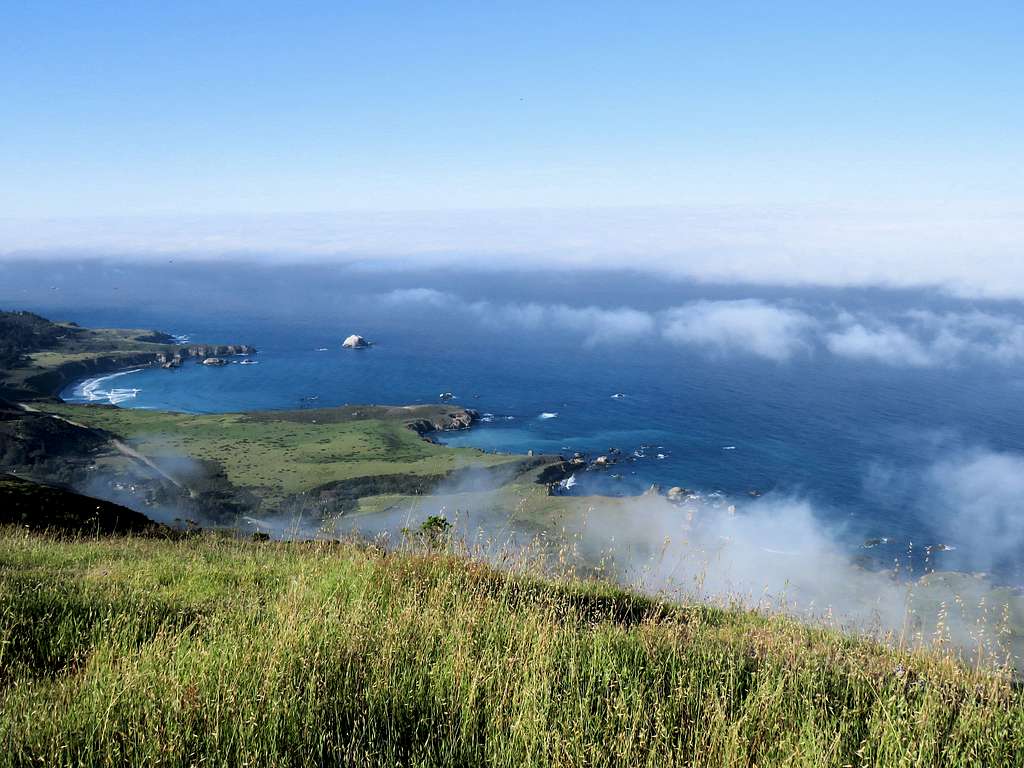
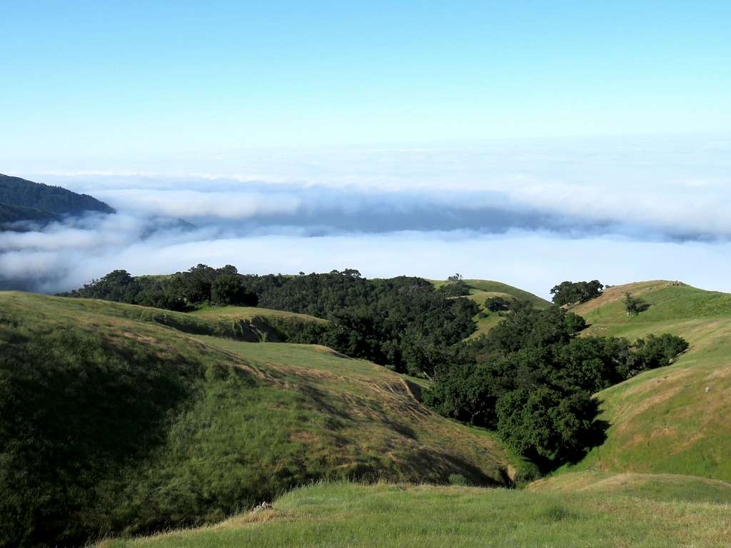
Views from top. Ocean under clouds on the day that I was there. Mosquitos all over the place and in my pictures.