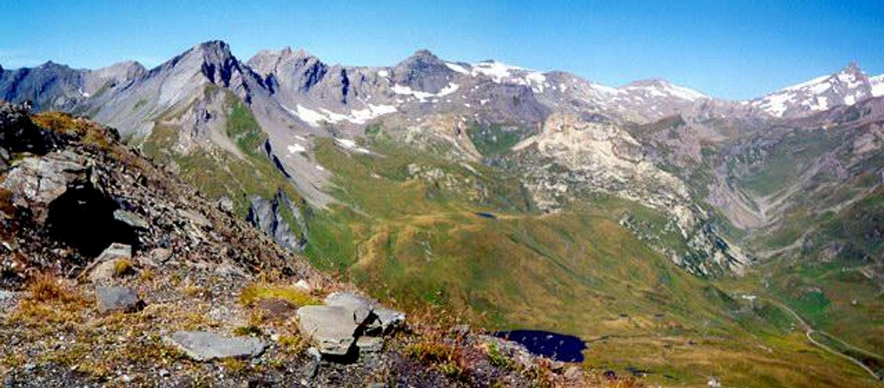
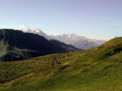
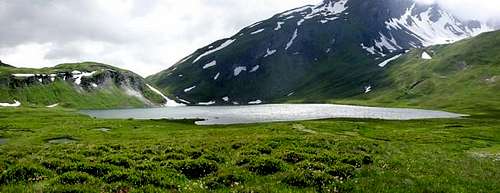
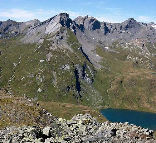
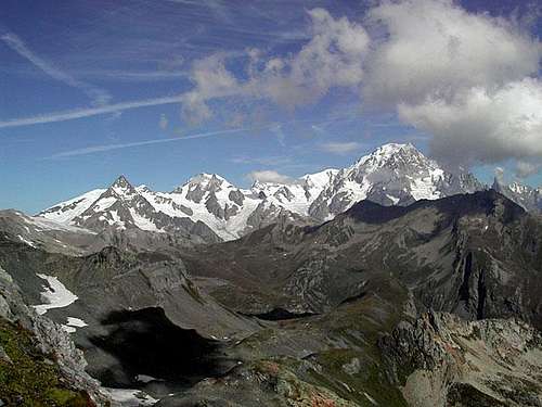
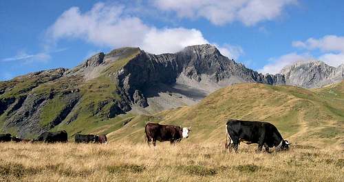
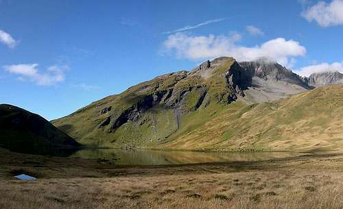
Going along the winding road that from the village of La Thuile (1441 m) leads to Petit Saint Bernard Pass (2188m) by countless hairpin bends, you arrive in view of the pleasant Verney lake (2089m). Here your attention will be caught by the dominating rocky summit, above the lower green Crête de Verney (2652m). It's the sharp Lancebranlette (2927m), seemingly rather unaccessible from this side.
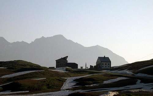
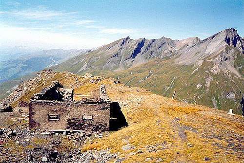
But if you follow up to the pass (2188m), cross the frontier and begin the descent towards La Rosière (1942m) as far as the ancient Hospice building, not far from the pass, looking towards Lancebranlette you'll find out a very easier approach to the summit through the grassy southern slope.
Interactive map: flying with the mouse pointer over the spots, their names and heights are shown
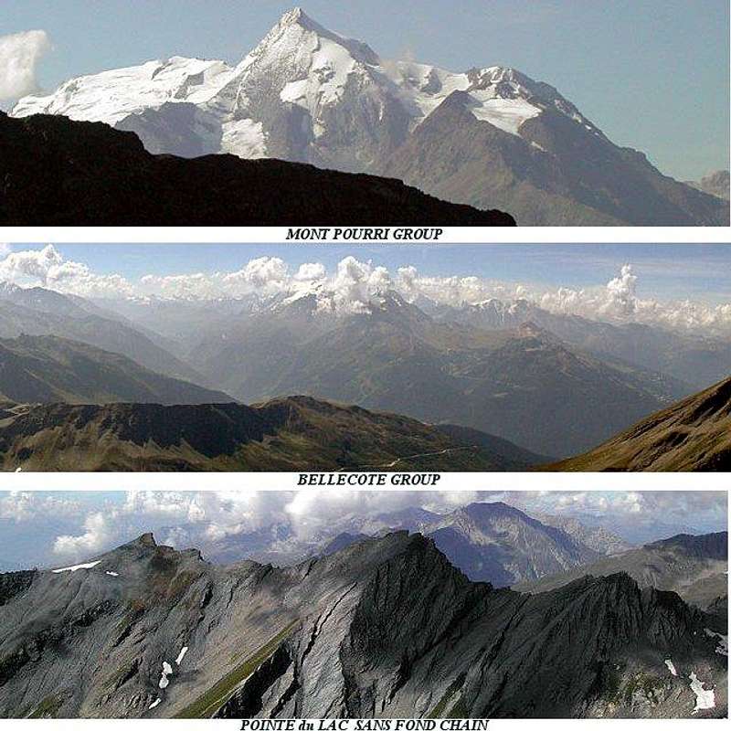
[1] Lancebranlette (2927m) is the first summit of the chain that, starting in correspondence of the Petit Saint Bernard Pass (2188m), follows towards NNW with the contiguous [2] Bec des Rousses (2937m). Then arrives at [3] Mont Fourclaz (2966m), where a secondary ridge culminating in [4] the Pointe du Lac sans Fond (2885m) comes from South.
The main ridge follows with [5] the Aiguille de l'Hermite (3015m), where a secondary ridge starts towards East: [6] the Pointe Rousse (2620m) dominates the zone of the Tormotta's lakes. The principal chain arrives at [7] Mont Miravidi (3086m), from which another ridge goes towards East, dividing what is left of the glaciers d'Arguerey and du Breuil, and culminates in [8] the Pointe des Glaciers (3023m).
The main chain continues firstly towards North, then turns NNE before [9] Pointe Lechaud (3127m), the highest point of the ridge, from which another important ridge starts in the direction SE, dividing the glaciers du Breuil e des Chavannes.The maxima heights are: [10] Pointe Fornet (3066m) and [11] Mont Ouille (3099m). After the Pointe Lechaud, in correspondence of [12] an unnamed summit (2956m), the main ridge leaves the border between France and Italy and, turning towards NE direction, after [13] Mont Lechaud (2805m) ends at the [14] Col di Chavannes (2608m), on the ridge between Vallone di Chavannes and Val Veny.
![Lancebranlette photo_id=88429]()
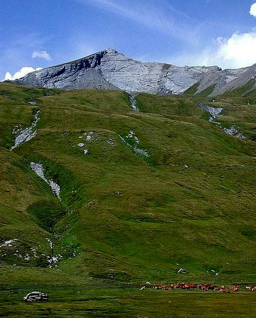
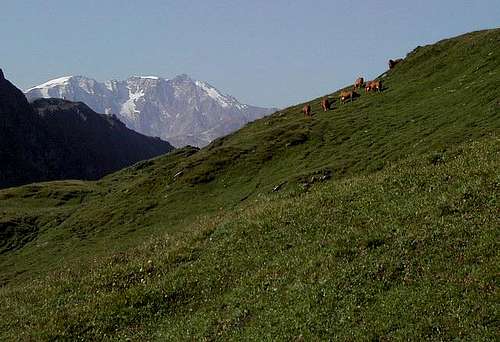
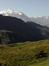
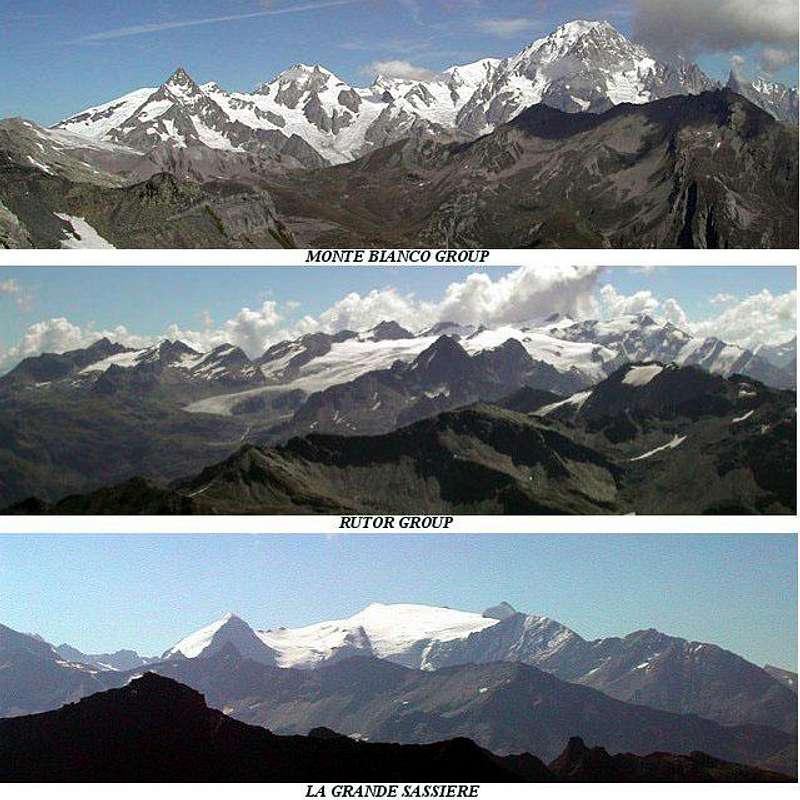
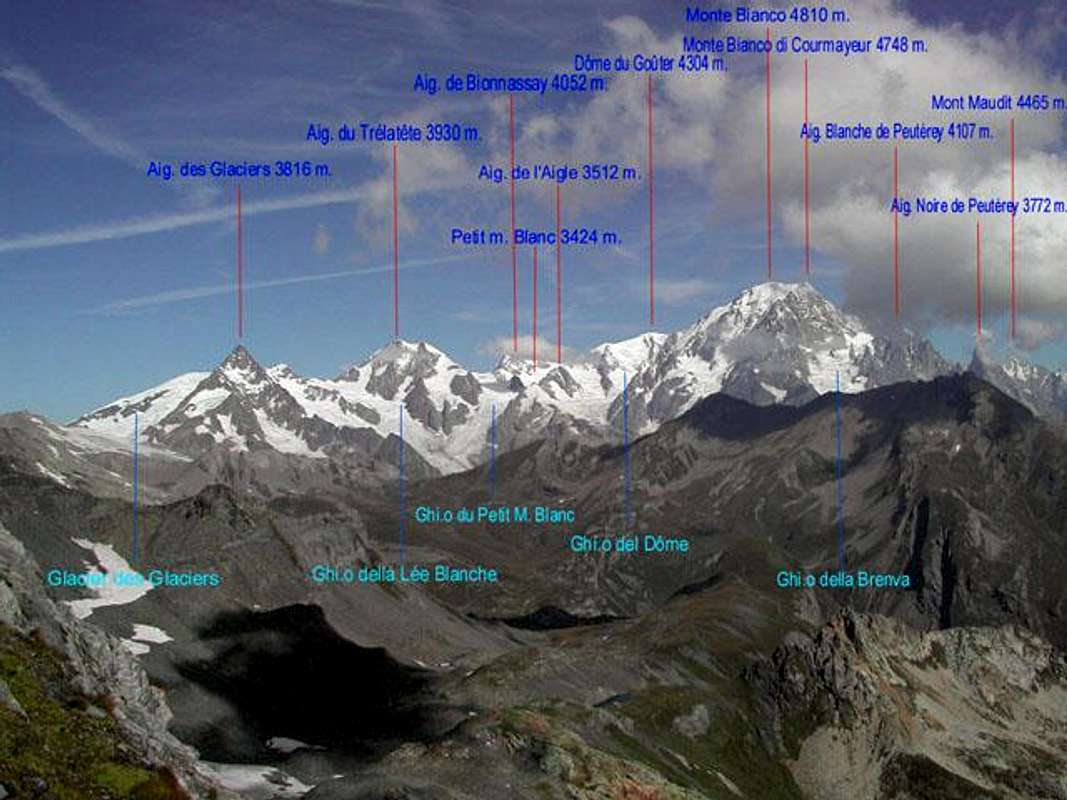
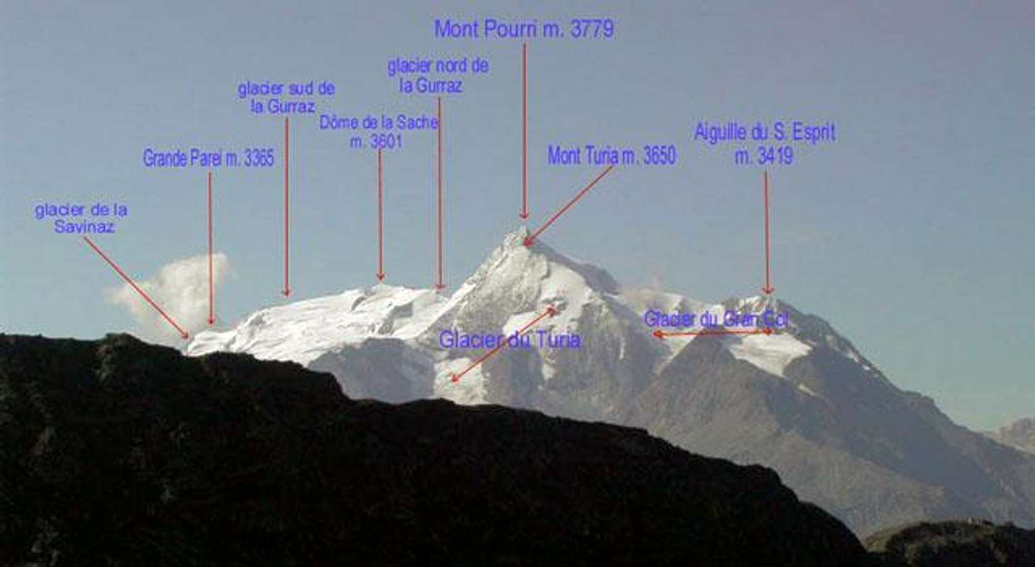
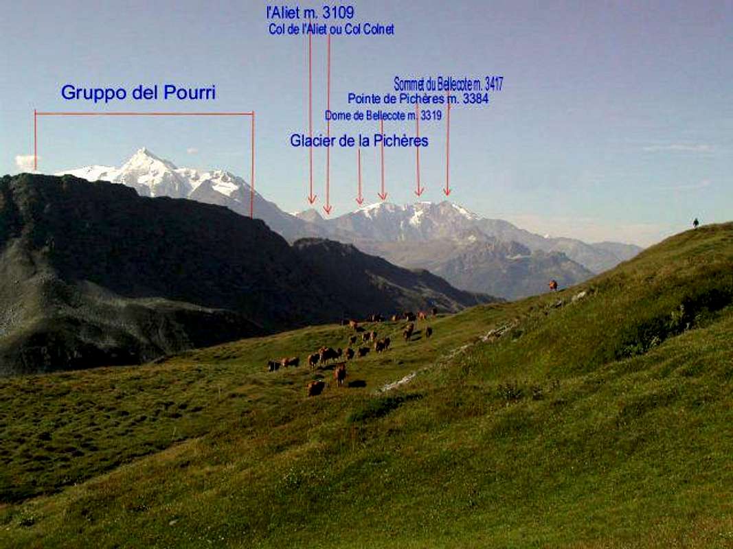
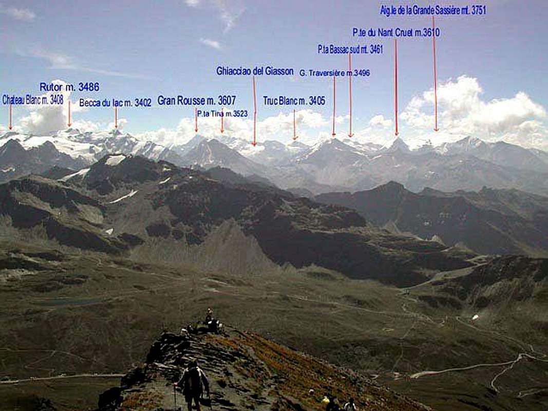
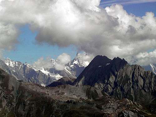
The entire route develops without any difficulty: the last part consists in a winding pathway along the grassy southern slope of Lancebranlette. Notwithstanding its secluded position with respect to some important mountain groups of the Aosta valley, the view from the summit is magnificent, since it embraces also important mountains of the Savoie, in addition to the near Mont Blanc and Rutor groups.
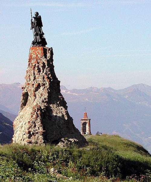
Just under the top, next to a curious "long-legged" bench, the Touring Club de France posed in the year 1913 an orientation table with the outlines of the surrounding summits and the relative heights.
|