
-
 43679 Hits
-
 87.64% Score
-
 25 Votes
|
|
Mountain/Rock |
|---|---|
|
|
40.96800°N / 75.123°W |
|
|
1463 ft / 446 m |
|
|
Overview
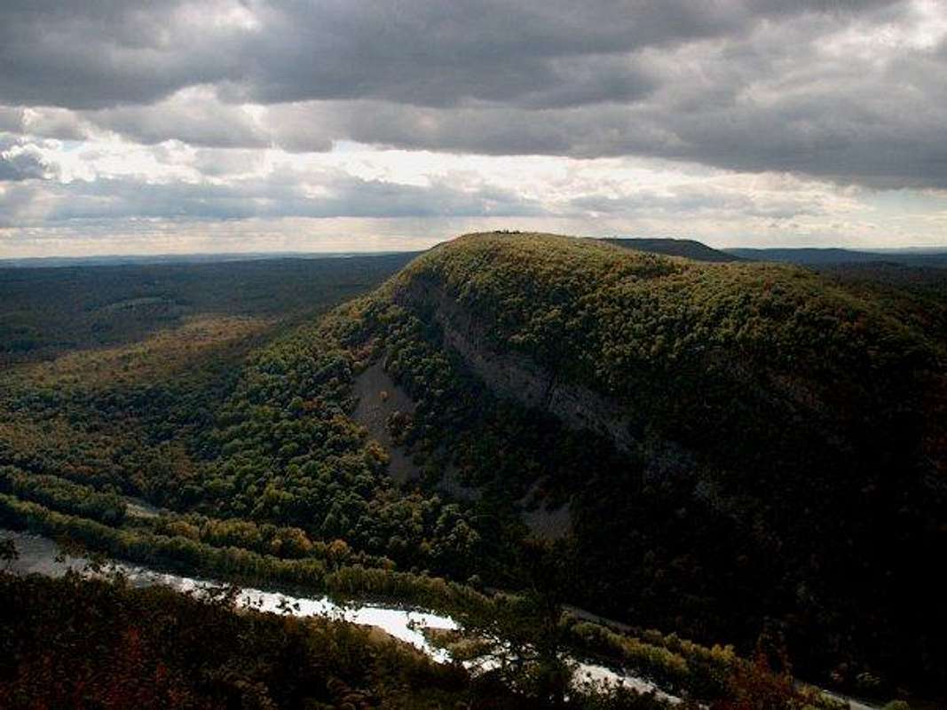
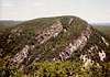
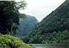
The Delaware Water Gap is located on the PA/NJ border in northeastern Pennsylvania. This area is located within a National Recreational Area and is run by the National Park Service. There are two visitors centers at Dingmans Falls and at Kittatinny Point. The park is home to 70,000 acres stretching along the Delaware River to the northeast. The gap is surrounded to the north and south by two very steeply rising mountains called Mt. Minsi and Mount Tammany . Minsi is on the PA side of the gap and Tammany is on the NJ side. Both mountains are characterized by there steep faces on which huge cliffs and scree abound. For Tammany, it's most significant feature is the huge band of cliffs on its' eastern side which stretch from the gap nearly a half mile about two thirds of the way up the mountain.There are many views from both summits as well as along the trail in most directions. When driving to the gap from the east, or the New Jersey side, these mountains appear rather large since they shoot up from the flat lowlands which the state is almost entirely made up of. The chain in which these two summits are a part of stretches northeast to New Jersey Highpoint and creates a natural boundary line for the states along with the river. The most common way of reaching these two summits is via the Appalachian Trail which passes over the gap on I-80. The Delaware Water Gap is a beautiful area and affords many fine views in all locations of the park.
Getting There
Both summits can be accessed from Interstate 80. I-80 comes from downtown New York City and runs west across the northcentral part of Pennsylvania. There are many points of access to this road depending on where you are coming from.From New York City: 1hr drive
From Central PA: 2 1/2 hr drive
 |  |  |  |  |
Red Tape
There are no fees or permits required to hike in the park and the only seasonal closures would be on roads due to snow at higher elevations. For wildlife conservation it is a National Park regulation that you should not approach wildlife that you see in your journeys. Just follow the “LEAVE NO TRACE” policy and you'll be fine. | 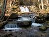 |  |
When To Climb
This is climbable in all seasons, but with bad weather conditions extra caution must be taken on some of the slippery rock slopes. | 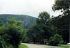 |
Camping
There is camping within the region. For more information go to:http://gorp.away.com/gorp/resource/us_nra/pa_water.htm
Mountain Conditions
For mountain conditions go to weather.com.For the region, type in:
Bushkill, PA
External Links
- Delaware Gap National Recreation Area
This page has a short excerpt about the park from the NPS.
- Hiking Mt. Tammany
This page gives a short description on some of the trails heading up Mt. Tammany.
- Delaware Water Gap National Recreation Area
This is a page with a short description about the park and other area activities.
Rob A - Jan 14, 2006 12:40 am - Voted 10/10
Minsi CampingThere is a free shelter about 3.9 miles south on the A.T. called the Kirkridge Shelter. Sleeps 8. Water is 200 feet to the left of the shelter and a privy is 50 ft to the right. The next shelter to the north is Brink Road Shelter 31.1 miles and to the south Leroy A Smith Shelter 13.8 miles away
For Thur-Hikers there is a free hostel at The Church of the Mountain in the town of Delaware Water Gap P.A. No fee but a donation is suggested.