
-
 4797 Hits
-
 73.06% Score
-
 3 Votes
|
|
Route |
|---|---|
|
|
46.67950°N / 12.50240°E |
|
|
Hike |
|
|
Half a day |
|
|
Walk-Up |
|
|
Approach
See the main page for the "Getting There" info. From the parking lot near the sports field head out south through Winkler Tal Valley.Route Description
- Start altitude: 1353m
- Summit altitude: 2678m
- Prevailing exposition: N
- Type: 1h 30min over forest roads, 2h along trails
- Protection: marked (no. 466)
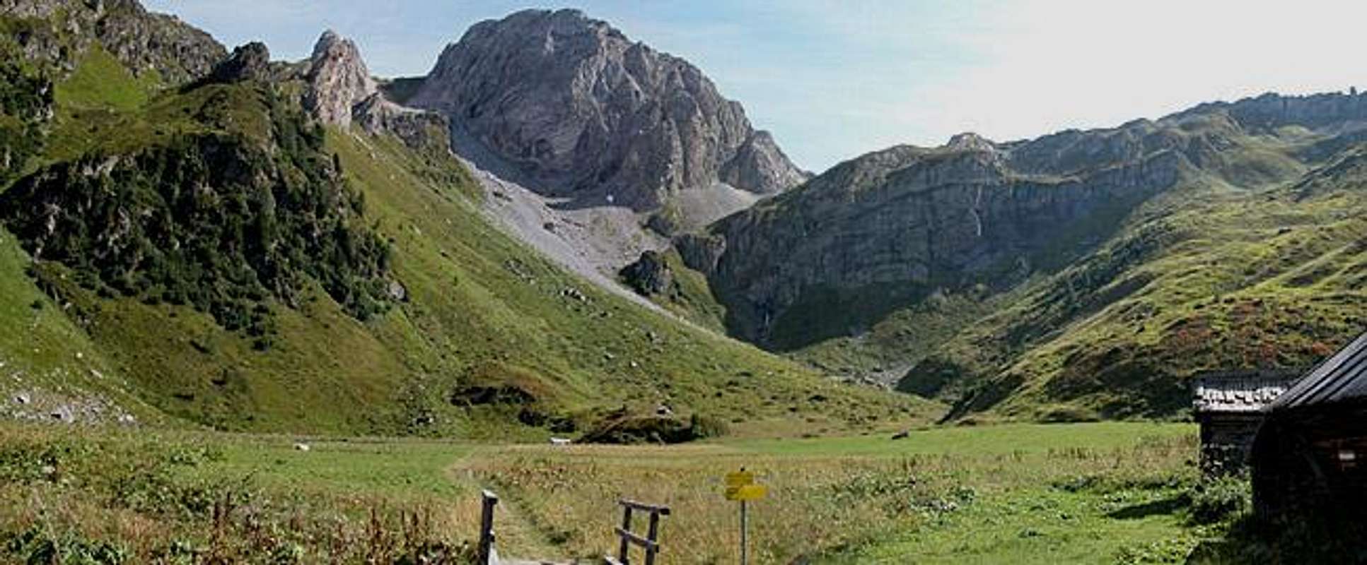
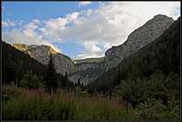
Head out from Kartitsch through Winkler Tal along a forest road. At the end of the valley a huge vertical step blocks the way and you have to climb it by following an old WW I supply trail through the western wall (nice exposed ledges). You get to a little chapel overviewing Winkeltal from which you head south along a shallow high valley (Obstanser Wiesenboden).
 Winkler Tal Winkler Tal |
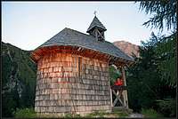 By the Chapel By the Chapel |
 Obstanser Boden Obstanser Boden |
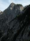
From the hut follow the trail towards the Obstanser Sattel Pass (between Cima Frugnoni and Pfannspitze) where you turn north-east to climb Pfannspitze. Take your time during this short last climb and enjoy the views towards the southern Carnic Alps. Turn around only on the summit to get the proper "wow-feeling" when seeing the Sexten Dolomites.
 |  |  |