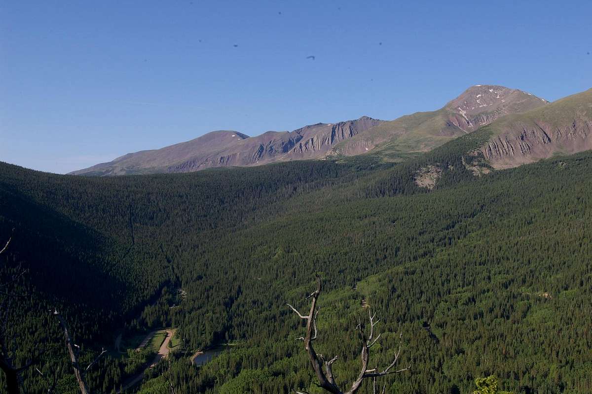
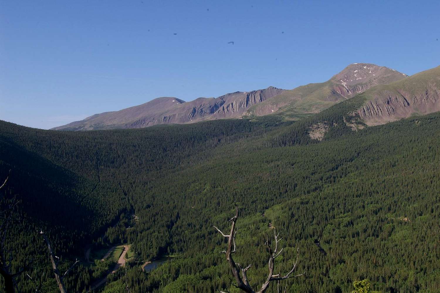
This shot was taken from the top of the 11,144 ft unnamed peak on the east side of Bear Lake Campground looking south across Blue Lake and Blue Lake Campground (see map).
From this vantage point the Trinchera Peak road cutoff can be seen for a short distance as it goes up the valley. As it begins to turn however, its path through the forest becomes invisible. The clear-cut line coming down from the ridge to the upper left of the road is the section line (marked on USGS Trinchera Peak topo map and also visible in USGS Trinchera Peak aerial photo Sept 6, 1984). This photo date: July 1, 2006 8:01 a.m.
Click image to ENLARGE!!


