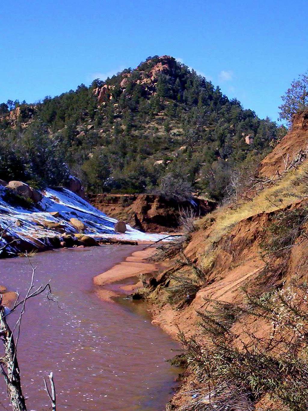
This is 5,085' Stewart Peak. Rockclimbing.com describes it like this: About 1/2-mile west of the parking area is a cone-shaped peak with 100' to 200' of steep granite at its summit.
It contains two routes listed on Rockclimbing.com.
(1) Blade of Damascus 5.11a
(2) Dueling Bugles 5.10a
This photo was taken from the (Stewart Pocket) parking
lot at the terminous of East Granite Dells Road, several miles east of Payson, Arizona. The creek is Stewart Creek. It is a seasonal waterway, and shown here is early February snowmelt. This creek must be crossed in order to access the Boulder Trail and Stewart Pocket to the south.
February 4, 2008