-
 7940 Hits
-
 85.36% Score
-
 20 Votes
|
|
Mountain/Rock |
|---|---|
|
|
46.29387°N / 114.31351°W |
|
|
Ravalli |
|
|
Hiking, Mountaineering, Scrambling |
|
|
Spring, Summer, Fall, Winter |
|
|
8807 ft / 2684 m |
|
|
Overview
Latitude & Longitude – 46.29387 N / 114.31351 W
Route Type – Scramble
Elevation – 8,807'
Class Level – Class 2+
Length of Time Required To Complete Route – One Day
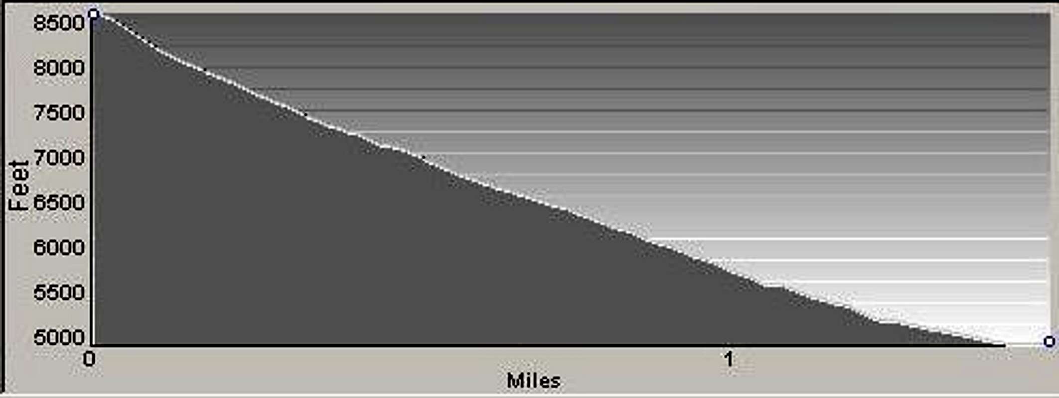
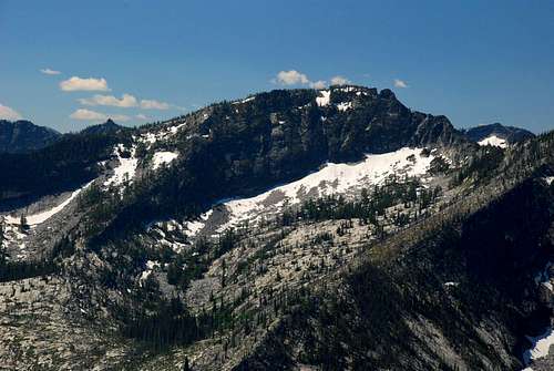
Point 8807 – Hauf Peak as I call it because it sits high above Hauf Lake, and referring to it that way helps me keep track of its location – is the loftiest highpoint on the crest of Printz Ridge. It is seldom climbed. There is no trail to its summit and no easy way to reach it. In fact the most direct route (from the Blodgett Creek Trail) includes approximately 3,600 feet of elevation gain over the last mile and a half, some of which also includes bushwhacking through dense underbrush.
Of those who reach the summit of Mill Point – the eastern-most highpoint on Printz Ridge – then sit and gaze west at the other highpoints along the ridge, there are some irresistibly drawn to those summits. It's not enough to admire from afar, we have an inexplicable need to visit their rock and view the surroundings from their airy tops. Admittedly, I am one of those people, who must reach those distant summits, even if it means enduring what fellow SPer, Fred Spicker, refers to as "Class 5 bushwhacking." Though it's not quite that bad in this case, some serious bushwhacking is required.
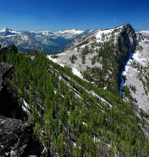
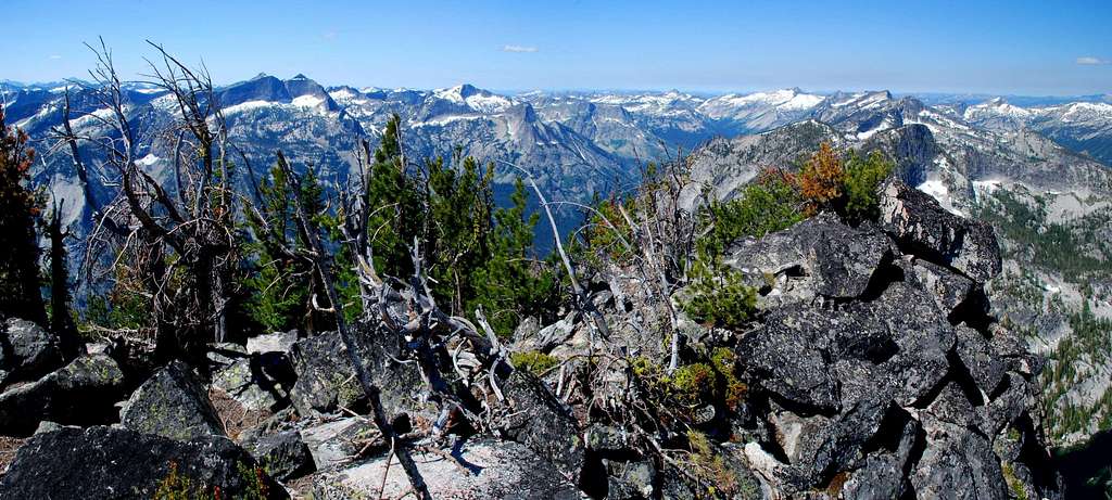
The views from the summit of Hauf Peak include the nearby summits of Downing Mountain, Romney Ridge, North Canyon Peak, Canyon Peak, Castle Crag, Mill Point, and Mill Point West. On a clear day, one can see all the way from El Capitan (south) to Saint Joseph (north), uncountable peaks in Idaho (west), and portions of the Bitterroot Valley and the Sapphire Range (east).
Getting There
In Hamilton, Mt, drive west on Main Street (out of the downtown area) until you reach the bridge over the Bitterroot River.
Just past (west of) the bridge, turn right (north) onto Ricketts Road and drive for .5 mile.
At the intersection (3-way stop), turn left (west) onto Blodgett Camp Road.
Stay right at the intersection with FS 735 in about 2.5 miles.
Continue for about 1.5 miles to the combined Blodgett Creek Campground and Trailhead.
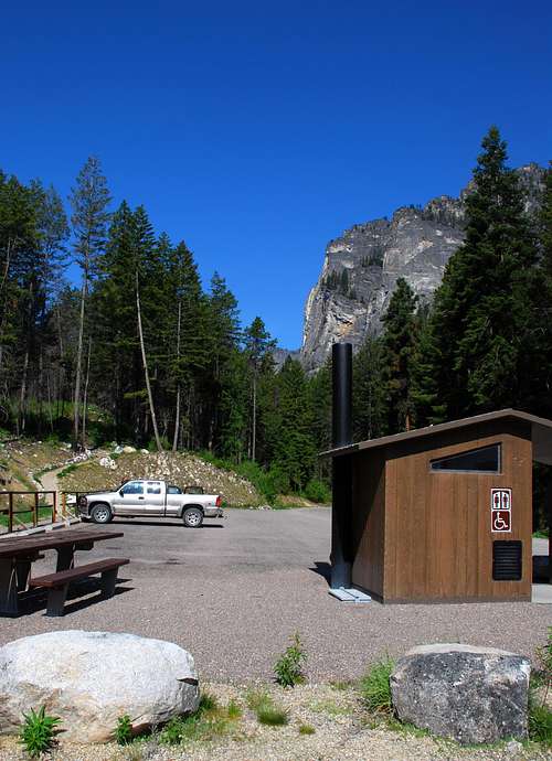
On your left is parking for a couple of dozen vehicles, stock handling facilities, and an outhouse. This is the trailhead for Blodgett Creek and Canyon.
Area Restrictions (Red tape)
Because much of Blodgett Canyon, another of those areas which has not been included in the Selway-Bitterroot Wilderness Area (for political reasons), the summit of Hauf Peak sits right on the border between official wilderness and National Forest. Nonetheless, it's a good idea to follow the rules and regulations that apply to the wilderness.
Camping
The Blodgett Creek Campground is within a couple of hundred yards of the trailhead for the routes to this summit. There are also several good primitive camping areas near the bridge which crosses Blodgett Creek and in a large open area near the upper Blodgett Creek Falls (about a quarter mile up the trail from the bottom of the gully used to reach Hauf Peak).
The Routes
Hauf Saddle Chute
This is a very strenuous route which, after an easy approach on a well-maintained and heavily traveled trail, includes bushwhacking though sections of dense underbrush and an elevation gain of about 3,600' over the last mile and a half. However, the isolation of this peak and the views from its summit adequately repay the effort involved.
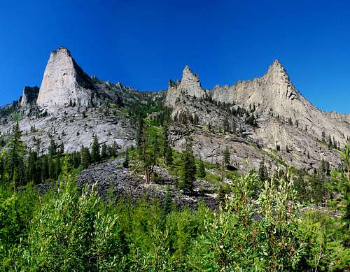
From the Blodgett Creek Trailhead, hike west on the well-worn trail. Three miles from the trailhead you will cross a bridge over the creek.
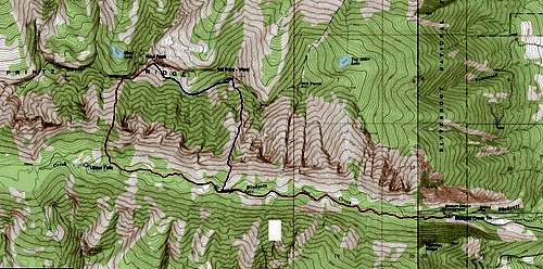
Continue for another 1.25 miles to an elevation of approximately 5,050 feet (46.27726 N / 114.32372 W). On your right (north) is the gully which you will use to reach the saddle on Printz Ridge just a bit west of Hauf Peak. This is the spot where you leave the established trail and begin bushwhacking.
The lower portions of the gully contain growths of trees and thick underbrush. There is no "perfect" way through this section of the route. Just pick a line an go for it. If it doesn't work out, try another line.
Note: I found that staying on the east (right) side of the stream which flows down the center of the gully provided an adequate path upwards and bypassed much of the worst undergrowth.
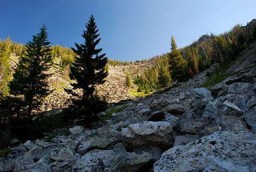
Eventually, you will break free of the plant growth and enter a field of stable talus which you can follow the remainder of the way to the saddle. As you climb the talus, keep your eye on an outcrop of dark rock high in the center of the gully. That outcrop is actually on the saddle. You want to end up hard against the right (east) side of the outcrop.
Once you reach the saddle, to your right (northeast), you will be able to see the summit of Hauf Peak for the first time. Hauf Lake is 500 feet below and to the north of the saddle.
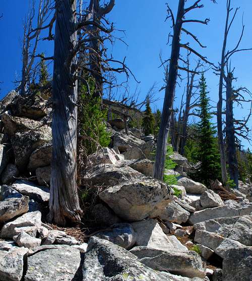
Follow the ridgeline first east then northeast as it leads you the last half mile to the summit. The best line appears to be slightly to the right (southeast) of the ridge-crest and passes through open trees and over stable talus.
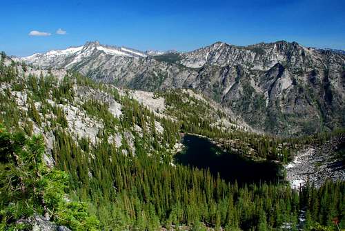
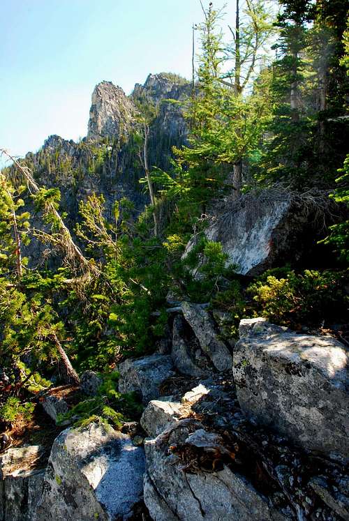
Note: To descend you can reverse this route, or if you wish, proceed to Mill Point West along the connecting ridge and descend from there using the South Face Chute. Or to make things even more interesting, continue from Mill Point West to Mill Point using the Mill Points Connecting Ridge before descending using one of the Mill Point routes. My favorite descent route for this triple peak outing is The Prow Chute because it drops you back on the trail only .4 mile from the trailhead.
The Hauf Peak - Mill Point West Connecting Ridge
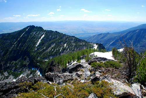
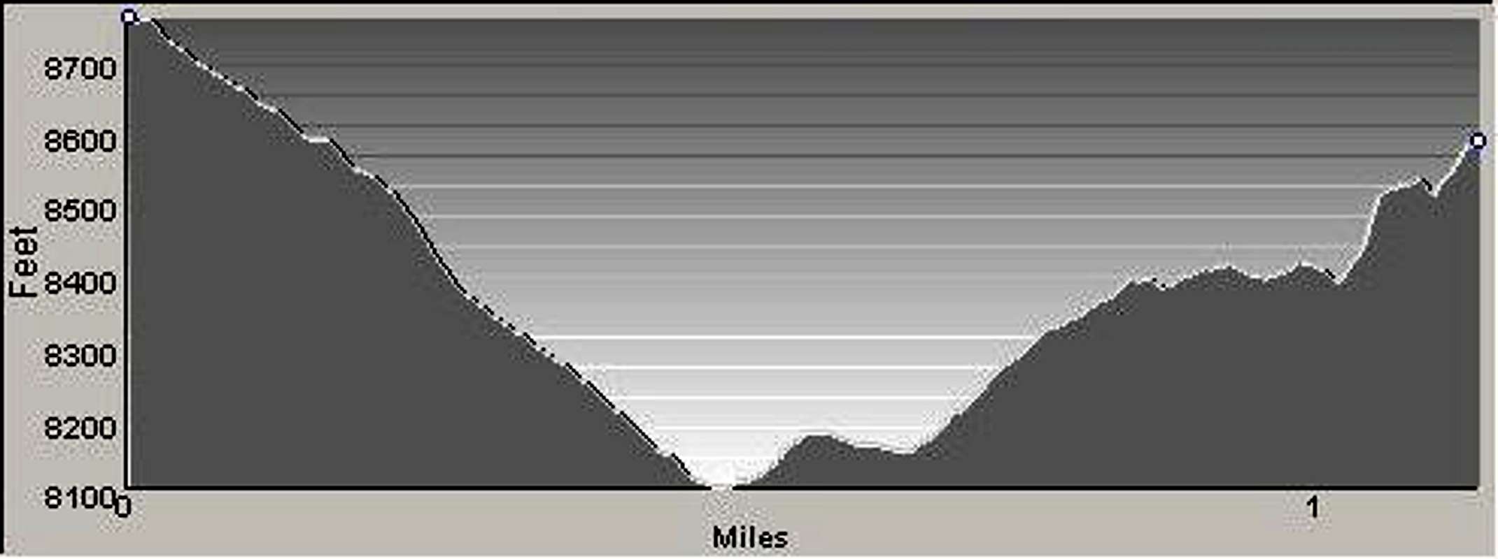
The connecting ridge between Hauf Peak and Mill Point West is 1.2 miles long, descending 760' from Hauf Peak to a saddle before climbing 600' to the summit of Mill Point West. Most of the route is through open trees and over talus. Once you've climbed the ridge back up to 8,400' there is a series of rock outcrops guarding the ridge-crest. Skirt these outcrops on the right (south) side on a mix of talus and granite slabs.
The crux of this route is being able to find a notch or cleft (separation in the blocks) in the rock outcrops on the crest. As you move east, this opening is not easy to see until you're just below it.
Hint: You will see what you believe to be the opening several times before you reach the one you want. Keep moving east until you're almost forced to down-climb by the terrain. You should then be just below the notch.
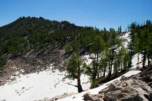
Climb into the notch (opening).
From the cleft, down-climb to your right (east) through a mixture of trees.
Keep the summit block on your right close, and, begin climbing upward toward the ridge-crest. You should be going directly east as you climb.
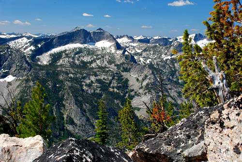
When you reach the ridge-crest, you will be between two summit blocks. The block on your left (northeast) is the summit. As you study it, you should see an obvious, exposed, Class 4 route to its top. However, there is an easier route.
Continue around the block on its southeast side on a small but nice ledge composed of grass and granite.
Reaching the northeast corner of the summit block, you will see a short and easy Class 2+ (or maybe Class 3) climb up talus to the summit. It's not even exposed!
To descend use the South Face Chute or continue on to Mill Point via the Mill Points Connecting Ridge.
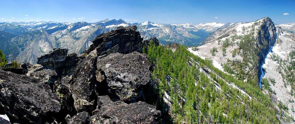
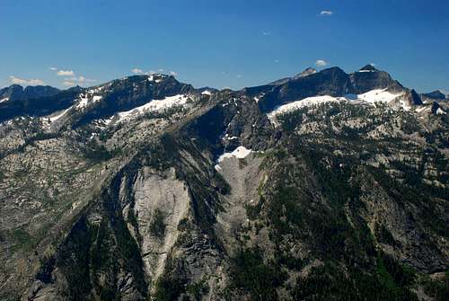
When To Go
It's possible to reach the summit of Hauf Peak at any time of the year. But because all the gullies up the south side of Printz Ridge are very susceptible to avalanche, including the one used in the above described route, it is highly recommended that these gullies should only be climbed when snow-filled by those who are expert at reading and climbing on snow, and then only after the snow is well consolidated.
The recommended way for reaching this and other summits along the Printz Ridge crest during the winter is by using the standard east-face route up Mill Point, then staying on or near the ridge-crest as you proceed to the other highpoints.
Essential gear
Sturdy hiking boots and weather-appropriate clothing are all that are required for this route. Because this climb is very strenuous, be sure to carry along something to eat. If you're not going to lug all the water you'll need, be prepared to filter water from the stream which flows down the center of the gully all year except for the dries months of late summer.
Route Statistics
Gain – 5,100' (total)
Distance – 6 miles
(one way)

