-
 31754 Hits
-
 83.69% Score
-
 17 Votes
|
|
Mountain/Rock |
|---|---|
|
|
46.43633°N / 114.36705°W |
|
|
Ravalli |
|
|
Hiking, Mountaineering, Scrambling, Skiing |
|
|
Spring, Summer, Fall, Winter |
|
|
8792 ft / 2680 m |
|
|
Overview
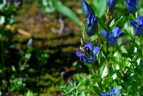
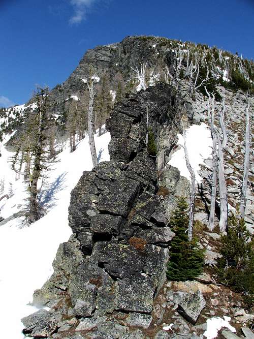
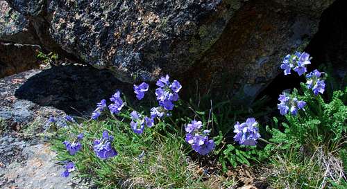
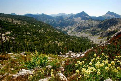
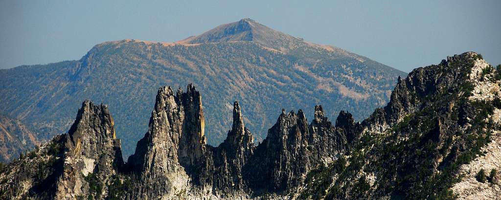
Many people who live in the vicinity of the Bitterroot Mountains have heard of Sky Pilot though few recognize its prominence from the valley floor. Even fewer have climbed it. Receiving its name from the flower of the same name, this mountain is perched on the Montana/Idaho state-line a long way from any trailhead. Situated just east of the Bear Creek Pass between Montana and Idaho, I’ve heard many individuals talk about climbing this peak, “someday.” But for some reason, “someday” just never seems to arrive. Not particularly difficult to ascend by the west ridge – Class 2 with good route-finding, Class 3 if one climbs over the gendarmes and rock outcrops – difficulty isn’t likely to be the reason it’s climbed so seldom. No, I’d guess it’s the distance from the trailhead and the required time commitment. Situated at the north end of one of the most beautiful hanging valleys in the Bitterroots, I highly recommend this seldom-visited mountain. Getting ThereDrive north from Hamilton, MT for eight miles and turn left (west) onto Bear Creek Road (known locally as Tucker Crossing). Drive for 2.3 miles and turn right (north) onto Red Crow Road. Go about three-quarters of a mile and turn left (west) onto Bear Creek Road. Follow the road (part paved, part gravel) to the trailhead. The trailhead is well marked and contains bathroom facilities. Area Restrictions (Red tape)A little less than 2 miles from the trailhead, the route to Sky Pilot passes into the Selway-Bitterroot Wilderness. All wilderness rules and regulations apply.CampingAlthough a few people insist on camping at certain spots along the trail to Bryan Lake, I believe the best campsites are at the lake. These sites are well established and may be in almost constant use by outfitters during the fall hunting season.There are also several places near the trail between Bryan Lake and the pass where water is available – a small stream – and the views are superb. If the area around the lake is too crowded for you, just move farther up the trail toward the pass until you find a spot to your liking. The Route
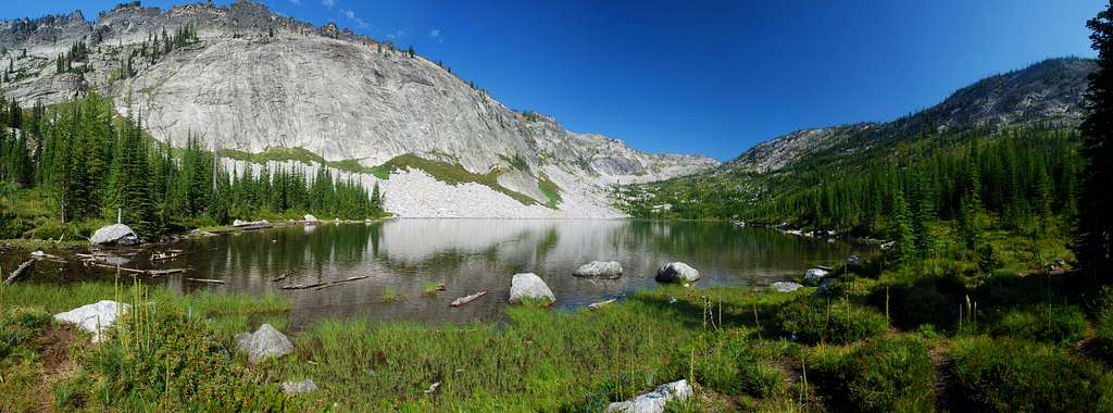
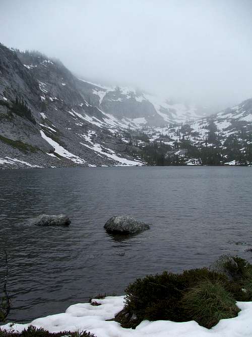
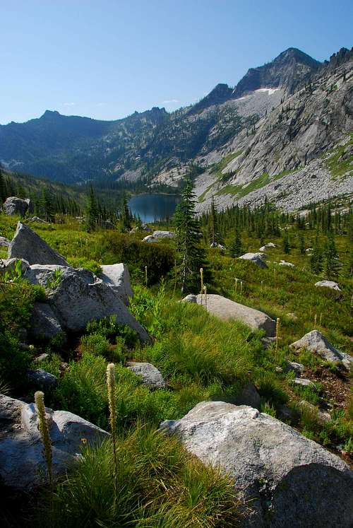
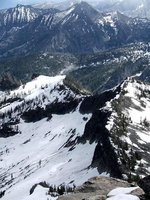
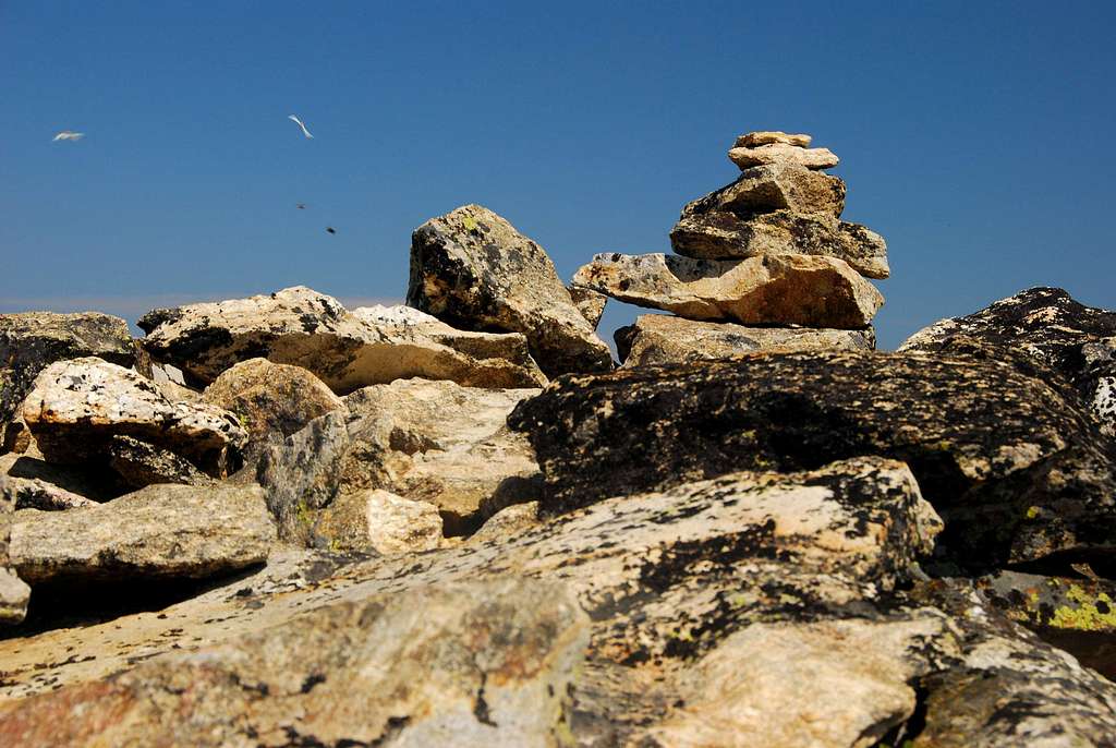
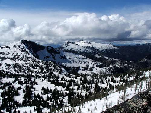
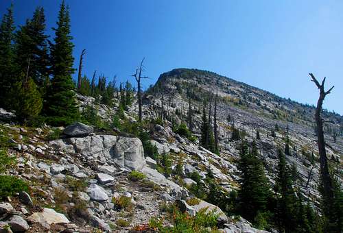
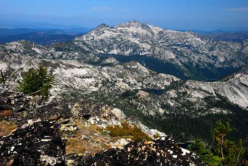
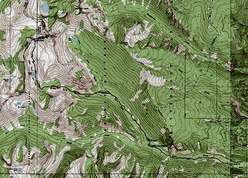
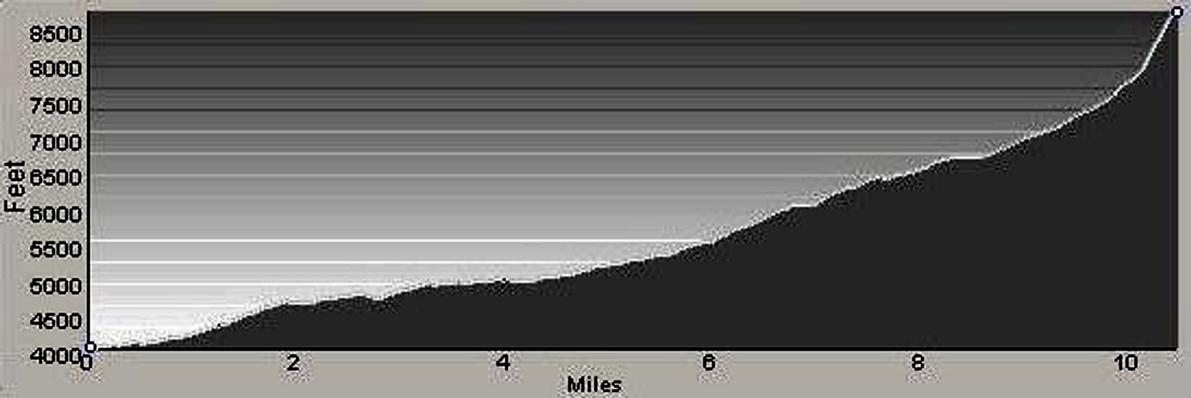
Approach – Trailhead to Bear Creek Pass About 2.75 miles from the trailhead, there is a junction (46.38784 N / 114.30365 W – elevation 4,830’). The main trail (for stock animals) continues straight ahead. The trail to the right (for hikers) allows for a drier crossing of the creek. Your choice! Once across the creek, the two trails quickly rejoin. Within a quarter mile of the creek crossing there is an unmarked junction (46,39026 N / 114.3040445 W – elevation 4,880’). Very faint because it hasn’t been maintained for a very long time, the left track is the South Fork of Bear Creek. Stay on the right and more obvious track. Just over five miles from the trailhead is another unmarked junction where a faint track leaves the main trail, this time to the right (46.41161 N / 114.33549 W – elevation 5,390’). This old track is the officially abandoned North Forth Trail which originally provided access to Bear Lake. Stay left on the main trail. For the next couple of miles the trail performs several switchbacks to gain elevation and crosses the Middle Fork of Bear Creek a couple of times. After crossing the creek for the last time (to the north side) the trail performs another series of switchbacks before entering the main portion of the hanging valley. Eight miles from the trailhead, the track reaches the south end of Bryan Lake. Situated hard against the bottom edge of the slab-granite and craggy ridge-crest of the Montana/Idaho state line running along its west side, this cutthroat-filled lake is one of the most beautiful backcountry lakes in the Bitterroots. There are plenty of nice camp sites in the area of the lake, some of which are used extensively by outfitters during hunting season. From the area of the lake the trail heads almost directly north, up and over a series of benches toward Bear Creek Pass. The area of this wonderful hanging valley between the lake and the pass is a meadow populated by small groves of trees and wildflowers. Just over a mile from the lake, the trail begins a series of switchbacks as it climbs the steep headwall to the pass. Climbers’ Route – Bear Creek Pass the Summit This off-trail section of the climb gains almost 900’ in slightly less than a mile and is sure to take your breath away. Stay on or close to the ridge-crest as you hike upwards to lessen the incline as much as possible. When you reach an elevation around 8,500’ you will find it advantageous to leave the crest of the ridge and move onto southwest face for the remainder of the ascent. This allows you to bypass the cliffs and rock outcrops which partially block the upper portions of the crest. Wind your way around and through the wind-stunted trees the last 200’ below the summit. The views from the summit area are simply astounding. The hanging valley through which you have just climbed is a wonderful sight with the surrounding Bitterroot Mountain summits providing the perfect backdrop. Descend by reversing this route to Bryan Lake and on the Trailhead. When To GoThis summit could be visited at any time of the year. However, there are certain spots along the trial where avalanches are possible. In my opinion it’s best to stay out of this area (or any other avalanche-prone areas in the back-country) unless avalanche danger is low or nonexistent.If you happen to be interested in wildflowers, the area between Bryan Lake and Bear Creek Pass is one of the best places (in the Bitterroots) to visit while many are in full bloom. Most years that will be between mid-July and mid-August. Essential GearOnly standard hiking gear is required to reach the summit of Sky Pilot. If you plan to climb on snow, take your skis (with skins) or snowshoes along. There are a couple of places during the climb from the pass to the summit where you might also want an ice axe.Route Statistics |


