The last leg of a week of tramping
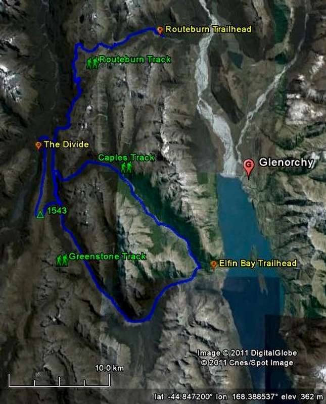
![Map of the Routeburn, Caples and Greenstone Tracks]() The Routeburn, Caples and Greenstone Tracks connected, with the Point 1543 variation at the end
The Routeburn, Caples and Greenstone Tracks connected, with the Point 1543 variation at the end
After the
Routeburn and
Caples Tracks, I continued my way on the Greenstone Track. This easy track along the Greenstone River always stays below the tree line and can be tramped even in rather poor weather. I wasn't so unlucky, I had lots of sunshine.
At McKellar Hut, the weather was still excellent. By then, that
was important, because instead of staying low on the last leg to The Divide, I wanted to go up to Point 1543 on the Livingstone Mountains west of the Greenstone Valley, and follow the ridge.
Close to McKellar Hut, alongside the track to The Divide, a sign points the way to an ascending trail heading south-west. When I was there, back in 2007, the trail gradually faded away higher up, in the shrubs near the tree line.
The last section to the high point was a bit of a scramble, but there must be an easier way up than the route I took. Instead of looking for it, I went straight up the east face. I suspect that it's safer and easier (but also longer) to do the final approach coming from the south. Once you've reached the high point, simply follow the very wide ridge to the north until you reach Key Summit and the Routeburn Track just beyond.
There is no trail on the ridge until you get closer to Key Summit. This popular viewpoint can easily be reached by day trampers from The Divide, and also as a side trip from the Routeburn Track. Many people go a little further south after ascending Key Summit, and that has resulted in a trail.
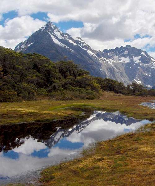
![Mount Christina from Key Summit]() Mount Christina from Key Summit
Mount Christina from Key SummitInteractive map of the complete route
If you move the mouse over the elevation profile, you can do a virtual walk along the route. Go ahead, try it!
Links
![Near the confluence of the Caples and Greenstone rivers]() Near the confluence of the Caples and Greenstone rivers.
Near the confluence of the Caples and Greenstone rivers.Previously ...
I came down
the Caples Track.
External
The New Zealand Department of Conservation, or DOC for short, does a great job in preserving the outdoors. And for all oudoor enthousiasts,
their site has an enormous wealth of information, including many route descriptions such as
the Greenstone and Caples Tracks.
Comments
No comments posted yet.