Mount Daniel 9-8-2013
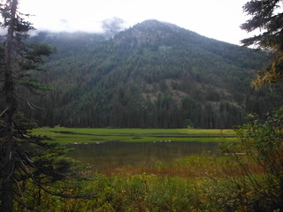
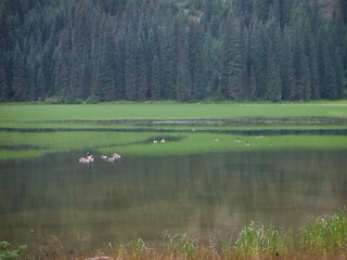
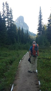
Colin and I pulled into the Tucquala Meadows Trailhead around 8:30 Saturday night with just enough light left to see a gaggle of geese in the marshy lake. A clear starry sky looked promising until light rain began to fall. After dinner and a gear check we crashed out with four hours left before the planned 2 am wakeup call, hopeful for better weather to come.
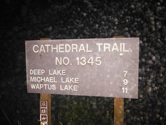
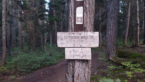
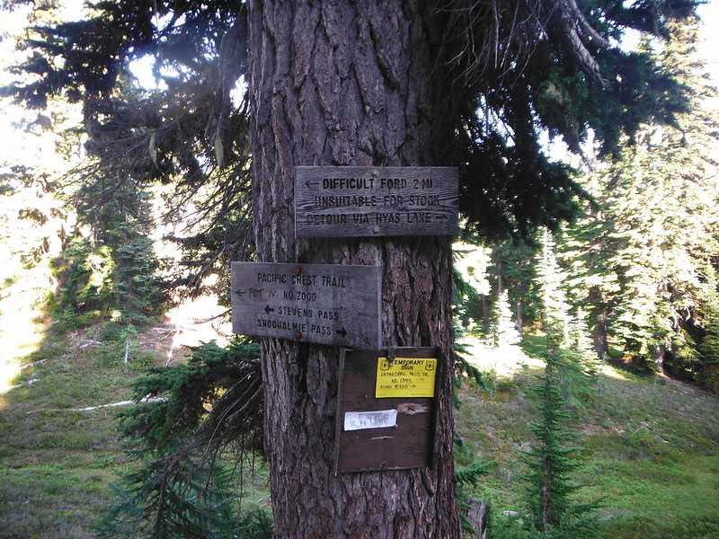
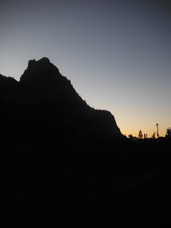
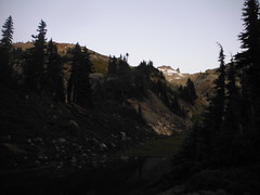
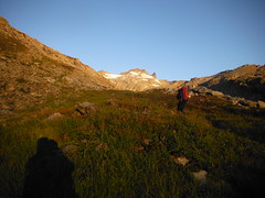
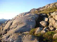
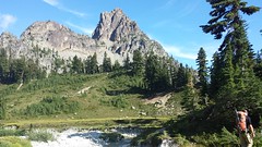
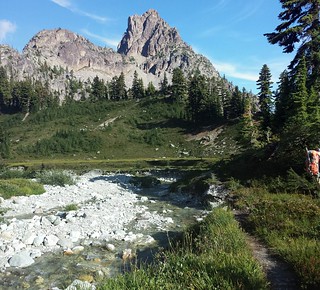
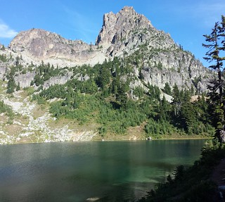
We were climbing up the Cathedral Trail by 2:45 and to Peggys Pond before sunrise. After leaving the PCT there are two short cliffy sections where the trail fades into the rock. We topped off on water while the morning light crept over Cathedral Rock.
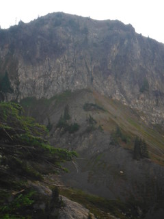
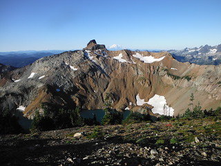
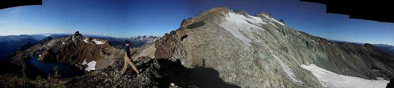
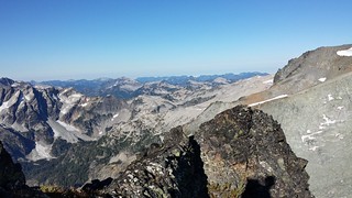
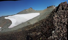
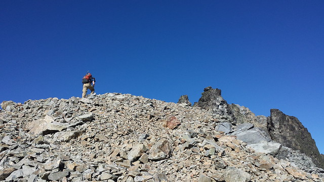
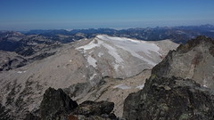
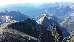
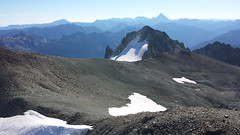
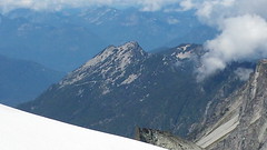
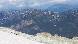
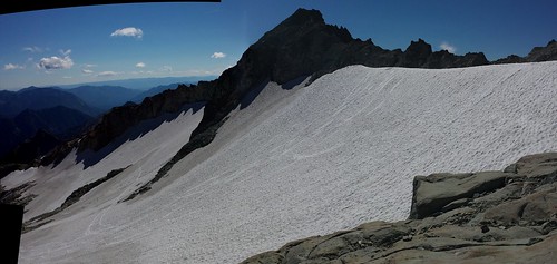
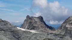
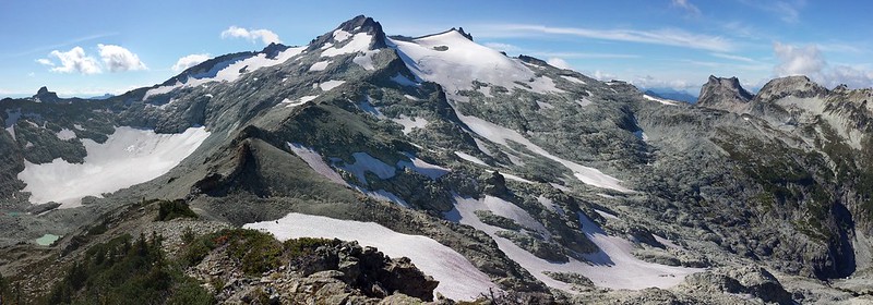
We had our first glimpse of Daniels East Peak and Hyas Glacier as we began up the SE Ridge. A few steps later Spade Mountain and Circle Lake came into view, and the the true summit of the highest point in King or Kittatas Counties.

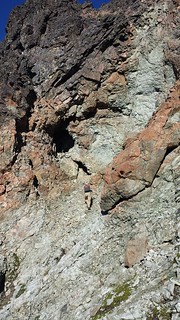
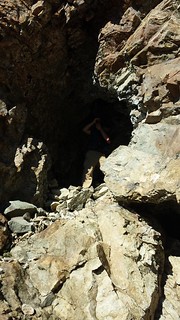
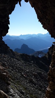
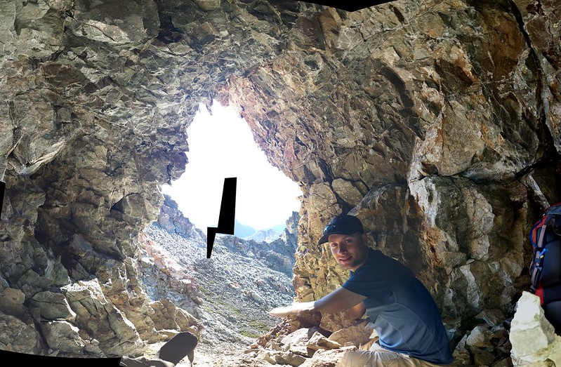
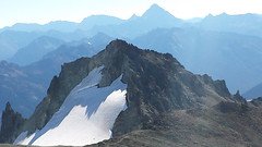
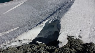
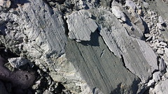
After passing by the top of Hyas Glacier, Colin spotted a small cubby tucked into a nearly vertical face. Naturally we made a detour to take a closer look. What we found was a 20 foot tall archway with a level-ish floor built up with stacked rocks. 3 people could easily fit inside this little storm shelter and while it was not suitable for a bivy, we also found a perfect 3-person bivy spot just a few yards away.

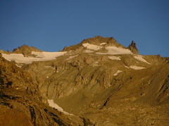
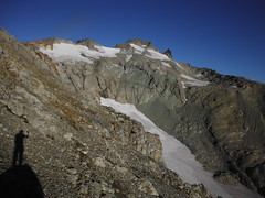
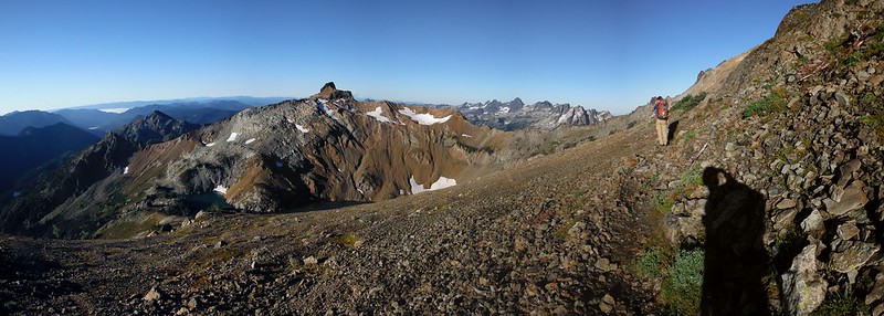
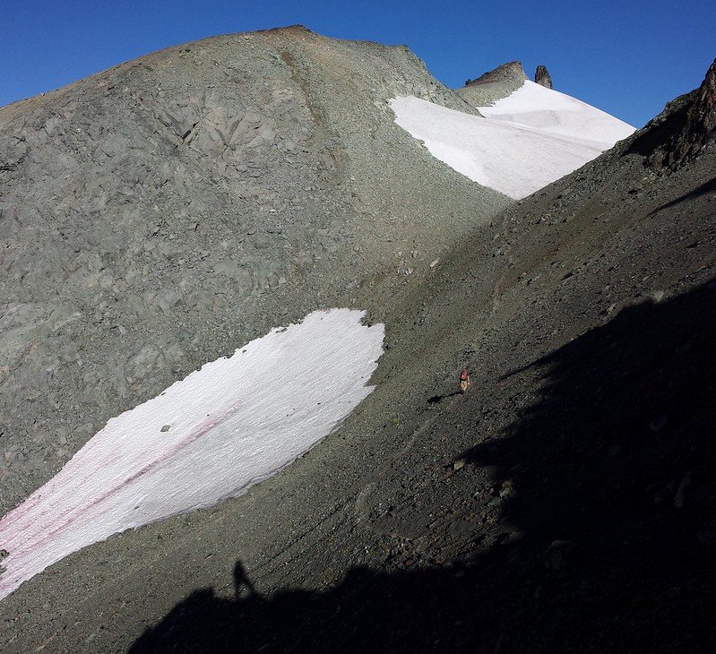
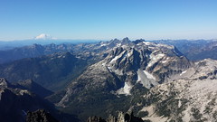
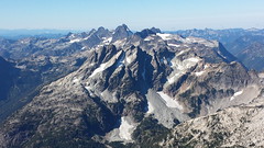
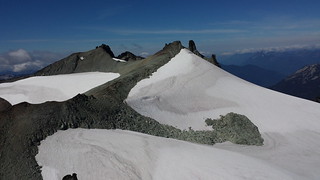
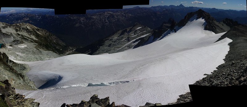
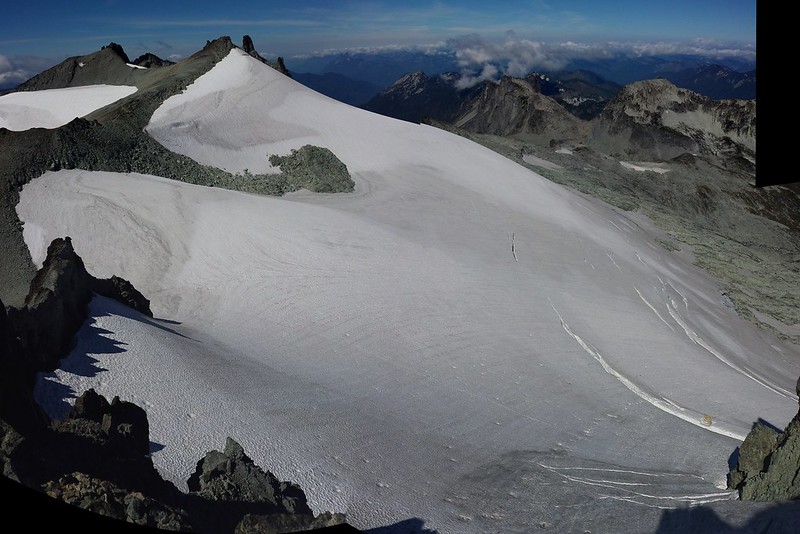
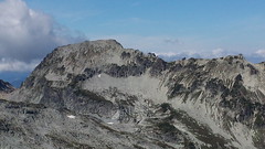
Upon Returning to the ridge, we crossed below the East Peak and the "Middle Summit" or false summit on a narrowing boot path through crumbling gravel. We paused to admire the massive Lynch Glacier before we continued up the gentle rocky summit slope to the base of a small pinnacle.
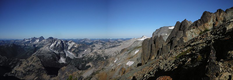

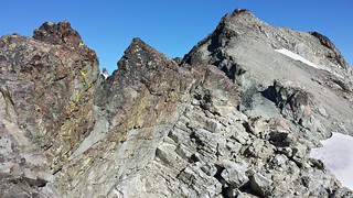
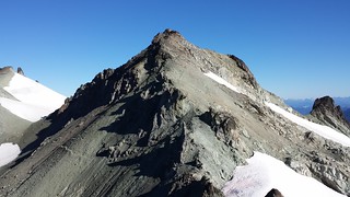

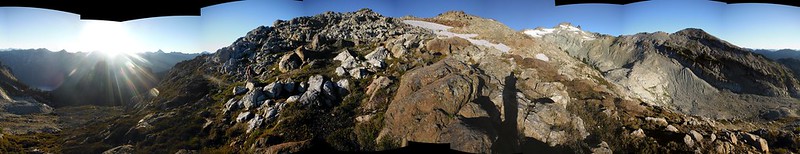
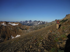
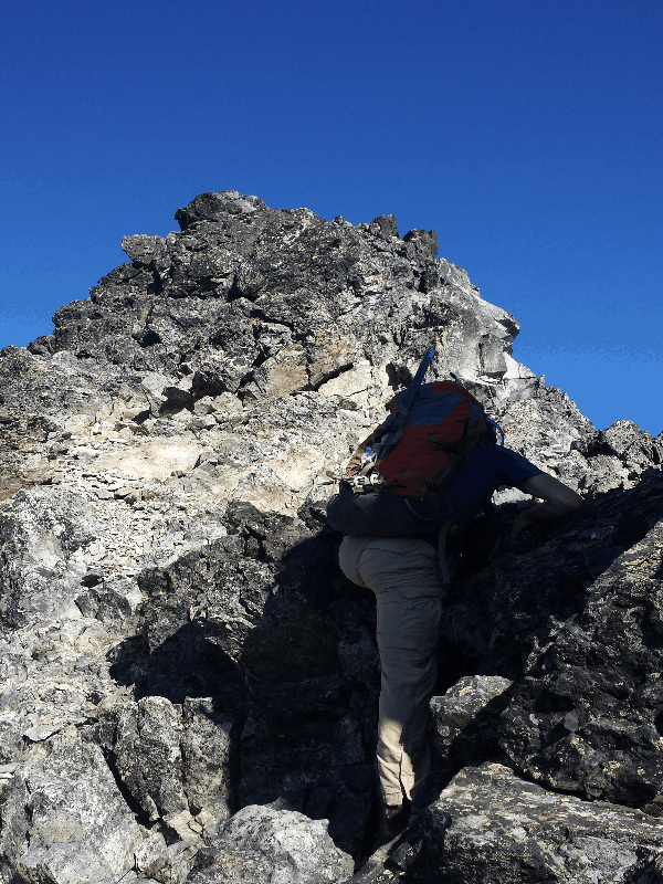
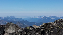
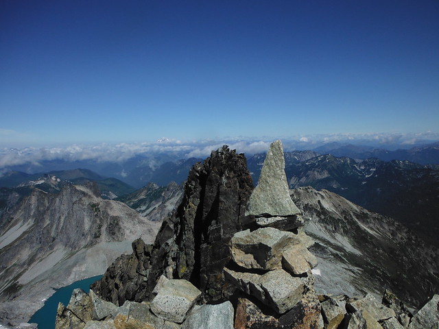
A decent bootpath leads up to the top, but we elected to take advantage of a couple fun class 3 moves on climbers right. From the summit Mount Daniel seems to tower above Hinman though it's obvious that it doesn't have much height over the rest of the Alpine Lakes Wilderness.
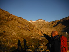
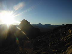
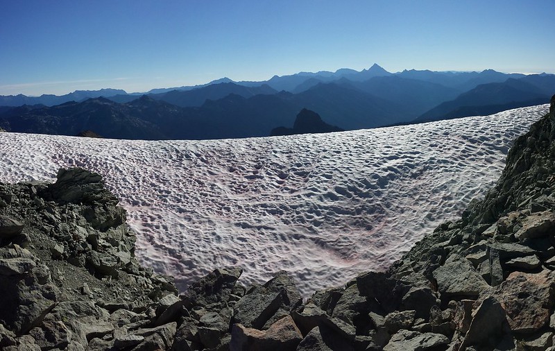
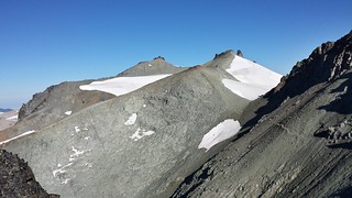
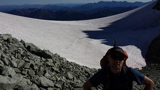
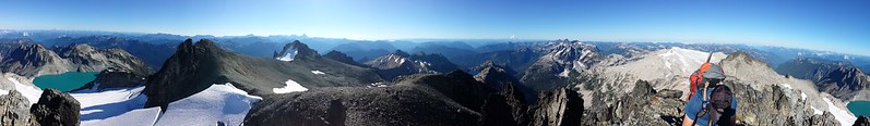
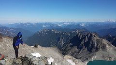
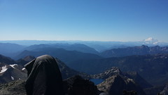
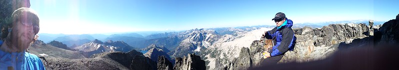
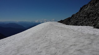
Strong gusts of cold wind broke through the still morning air as we neared the large snow fields covering Mount Daniels glaciers. At 10 am we had the top to ourselves and the sun was just beginning to warm up. We ducked behind the summit block and relaxed in the sunshine for about 2 hours.

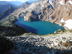
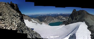
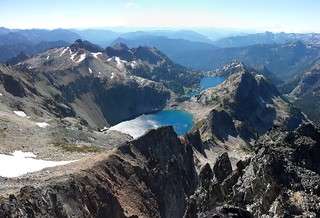
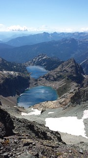
Before scrambling up the middle Summit Colin convinced me to follow him down the South Ridge for a closer look at Venus and Spade Lakes. They both look prime for camping and as a mid point to climb Mount Hinman.

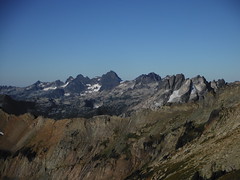
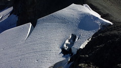
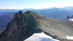
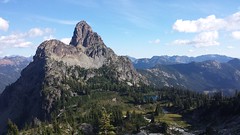
The steep spire on the North end of the Middle Summit looked like it may be a few inches higher than the southern bump we topped out on, so I eliminated any doubt. 3 skiers/splitboarders who's camp we passed that morning reached the East Peak while I was taking pictures, and as we headed down they launched into the Hyas Glacier and out of sight with a "whooo!"
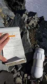
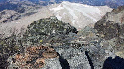
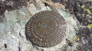
The East Peak also offered some optional scrambling, and we jumped on the opportunity. A USGS plaque marks the summit, I believe it is the only one on the mountain. Low clouds poured over the true summit with the increasing wind while we plotted our decent route.

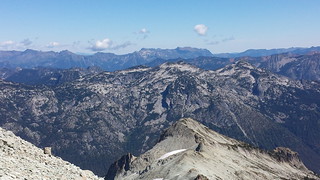
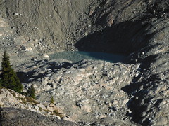
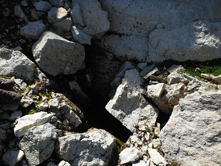
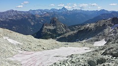
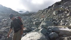
We decided to descend via the East ridge, visiting 2 more small peaks along the way. This provided a great perspective on Cathedral Rock in the afternoon light, as well as an unobstructed view of Granite Mountain and upper and lower Hyas Lakes. While crossing a talus field we passed by a rather large and dark hole which looked promising. I lowered myself into a crack over 6' deep and 1' wide and dove into a small passage near the bottom. Unfortunately I hit a dead end after only 3 feet. Talus caves are discouraging!
We made it back to the trailhead just before dark.We were lucky to have such perfect weather and a heavy melt out this season, or we may have had difficulty reaching the summit even with such an early start time.
My Blog


Comments
Post a Comment