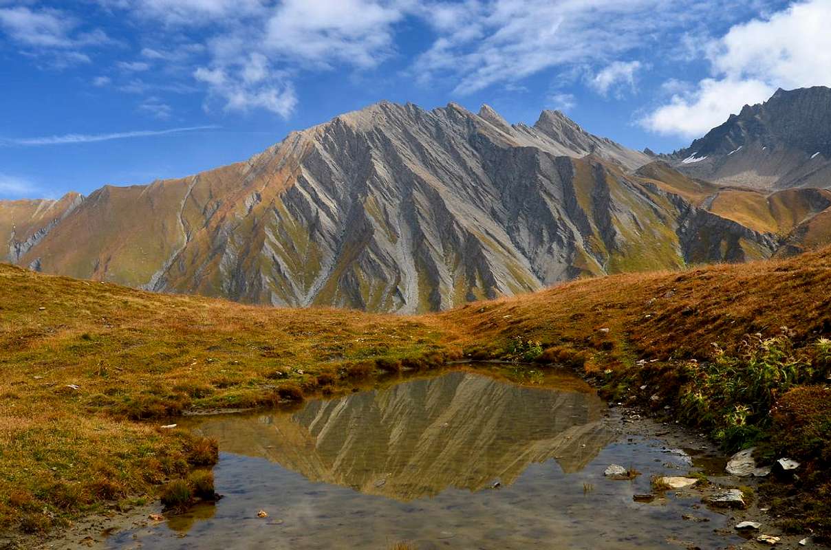
Questo settore riguarda la parte più a Nord della Val d'Aosta, limitato a Settentrione dal confine con la Svizzera, a Sudest dal confine con il Piemonte ed a Mezzogiorno con il corso della Dora Baltea da Courmayeur fino alla Città di Aosta e dintorni. Comprende le propaggini Meridionali dei Gruppi della Grande Rochère, Grand Golliaz, Mont Fallère, Mont Velan, Grande Tête de By and Mont Gelé/Sottogruppo dei Morions, la Catena delle Alpi Pennine (Arolletta/Trouma des Boucs/Becca Ciardoney/Becca Rayette/Epicoun/Aouille Tseucca/Blanchen/Orein/Braoulé/Dents des Bouquetins) fino a raggiungere la Tête de Valpelline e la Dent d'Hèrens, all'inizio della grande Catena montuosa che scende verso Sud con le Grandes e Petites Murailles. Ma al di fuori di questi grandi nomi, reperibili sul lato più a Nord, non molto rimane di famoso e molto invece di sconosciuto, o quasi. Pur queste risultano Sommità piuttosto modeste elevantesi alla media di
e che, man mano che ci si allontana dai centri conosciuti, sempre men vengono distinte nonché frequentate. Anche a causa degli avvicinamenti molto lunghi stressanti ed a volte
: un terreno di gioco affascinante ma che col quale bisogna sapersi misurare spesso senza grandi punti di riferimento. Grandi faticate e scarse gratificazioni immediate. Almeno in apparenza. Si comprende d'esser entrati in un
, scarsamente se non del tutto esplorato e alquanto diverso dalle piste della massa, dove basta
come pecore l'un dietro l'altro. Un modo nuovo di conoscere la
, andando alla ricerca di vecchie orme ormai cancellate dal tempo e sulle tracce, a volte, di
. Se non credete,
This area covers the most in the Northeast of the Valley of Aosta. It is to extend the partition with the Switzerland in the North until you reach the Summits of Matterhorn, Breithorns, Lyskamms and Monte Rosa that open like a fan from West to East and then, from Punta Gnifetti descend sharply to the South in the direction of the Dora Baltea and the border with the three Provinces of Novara, Biella and Turin, all in Piedmont. In the most in the South or the so-called internal we have several wilderness areas and poorly explored such as those around the pyramid of Becca's Luseney, climb all the rage in the '800 and then gradually forgotten and semi revolt more and more, also for the remarkable transformation of its glaciers, to a small group of climbers. Even worse immediately below the mountain ranges, some of which falls precisely in total oblivion. Other areas such as the Tournalins survive the
"decadence", while the Testa Grigia it goes still quite frequently, thanks to the cable car which shortens the path.But even here are also in the folds of these valleys the Tops little known and frequented or simply fallen into disuse with the passing of years and the end of the wonderful
"Epic of Classic Alpinism".
Like those at Velan, Tre Fratelli and Valsorey Molaires, Group of Morion, Clapier to Punta Fiorio until the Braoulé in another area, while here they are identifiable and Becca of Merlo to trio Nery-Vlou-Torché. Things of other times, you are exhausted, no more proselytes, between the end of '800 and the Sixties of the' 900, belonging to a
"Heroic Alpinism".
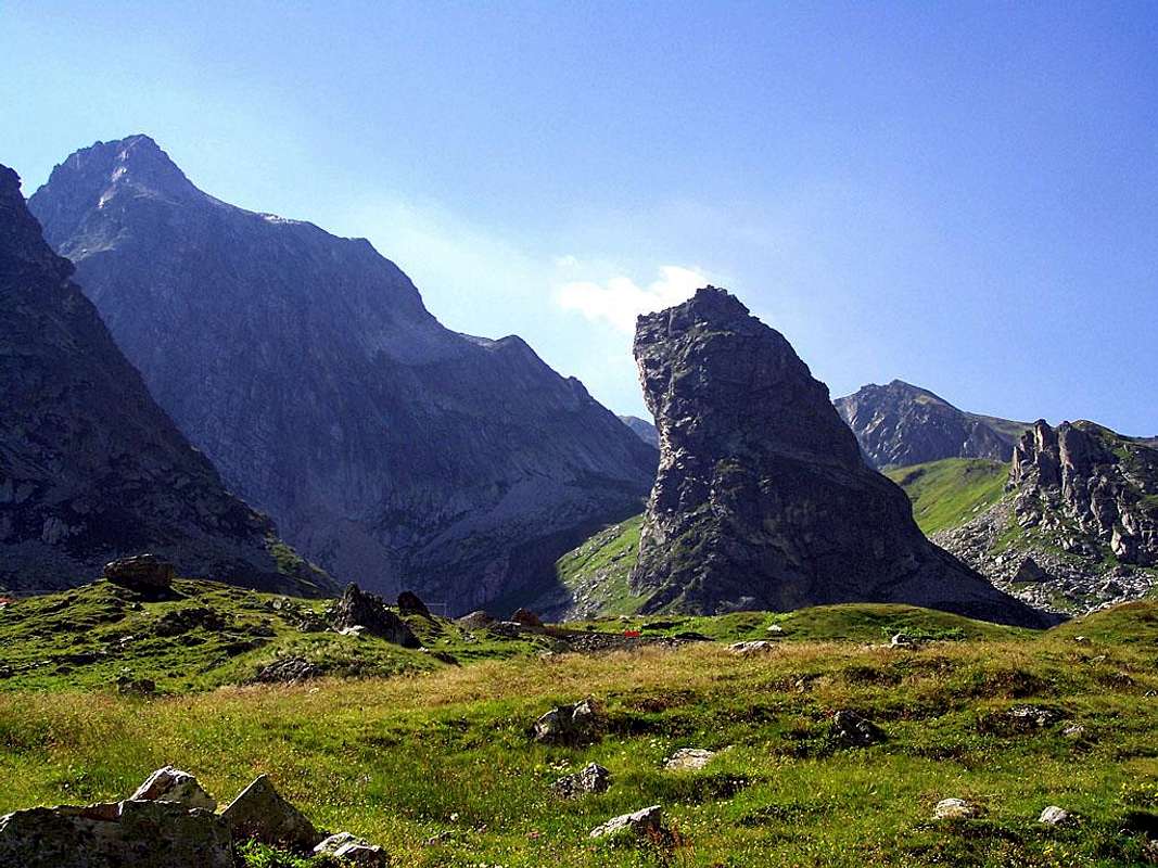
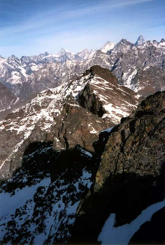
Becca di Viou; Monte Faroma; Western and Eastern Tsaat a l'Etsena; Becca d'Avouille or Aveille & Becca Fontaney
Then there are areas "mixed", in the sense that tours are popular and well-known (perhaps because of the proximity of a shelter or a camp), it turns other rarely frequented. An example is the area of the Lakes of Estoul also Palasinaz, where the Excursion to Corno Bussola and the trip to the Ski-Mountaineering Punta Valnera or Valdònierhòre are fashionable, while Corno Vitello Punta Valfredda, Mont Bieteron are much less goal of passes. Not to mention the three Mont Ciosé or Stallenhorn that, although there a few steps of Ranzola Hill, are the distinguished strangers. Equally at nearby Valley of Frudiera with several visitations towards the two lakes and the eponymous hill, while Marienhorn and Mont Nery or Becca Frudière, on this side, they see pass very few mountaineers; the nearby small range (Mont Taille, Mont Rena and Mont Taf) that from the Ranzola Hill joins to Frudièrcòll then what is for hunters or local connoisseurs of places and situations. Another matter yet different concerns along the border that separates the Aosta Valley from Piedmont: leaving aside the Dufour Peak
(4635m), now completely in Switzerland, the partition down to the South by offering a series of Summit that, after
"noble part" of the Monte Rosa (Gnifetti, Parrot, Ludwigshoe, Schwarzhorn, Balmenhorn, Vincent and Punta Giordani) is
"fading" as he goes to the South to reach, down below, the modest but known Mombarone
(2300m). After Punta Indren with its shelter the same Stolenberg reaches the Passo dei Salati and the Corno Camoscio (Horn of Chamois; +;
3026m) and the Col d'Olen. From this point the ridge proceeds still fairly well known and visited, thanks to its proximity to Lake Gabiet, towards Passo di Zube and Punta Straling. So keep wild and impenetrable to the Group of Corno Bianco (White Horn;
(+; 3320m), now completely in Piedmont, in order to continue winding hills to the famous passage in the past (Rissuolo, Alpetto, Valdobbiola, Valdobbia, Camino, Maccagno, Mologna Great and Little, Vecchia, Gragliasca) until you reach the one of Oropa in the Reserve of Mont Mars, still frequented by a famous Procession to Our Lady. When communication between the valleys occurred more walk through the roads, that do not exist then, and people loved walking bypassing the valleys. An area of great stingy Summits and also the most unknown due to lack of farm roads on the side of the Valley of Aosta and with long and hard approaches, even now probably abandoned by the same villagers. Terrain difficult to address that
need good hocks and, above all, the great commitment and good will ...
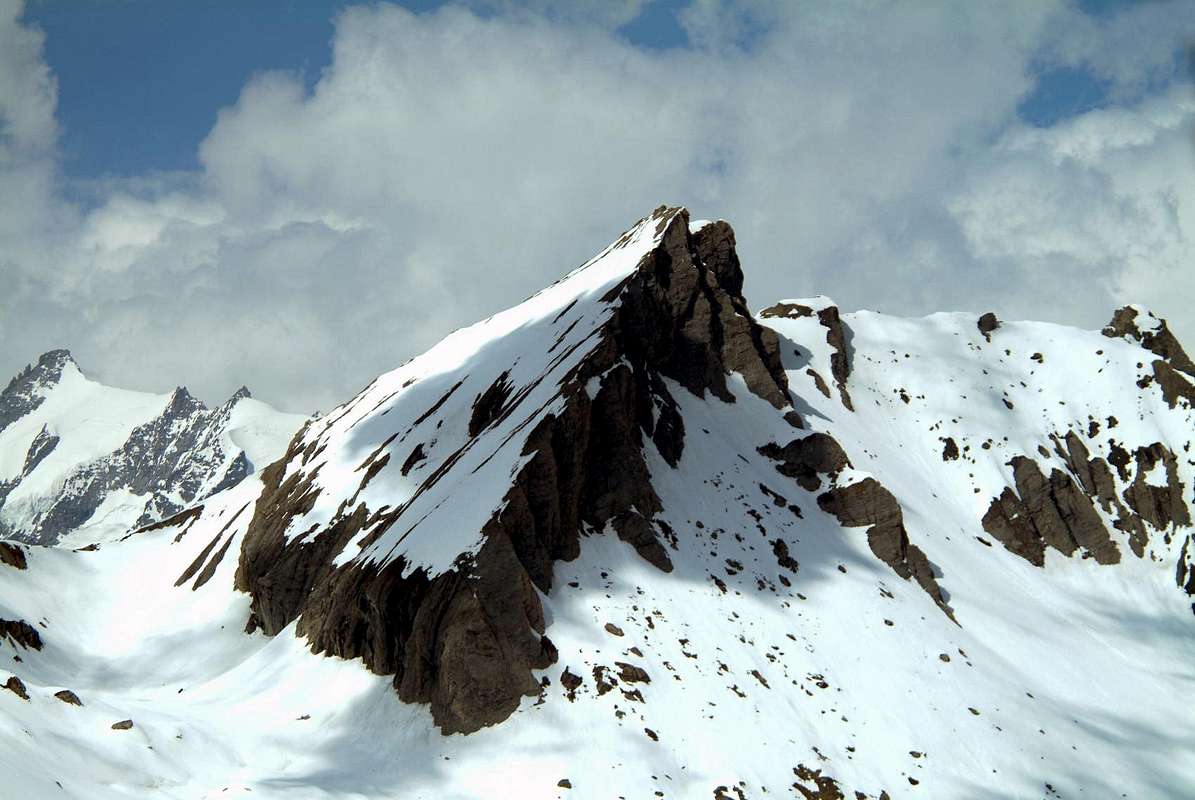
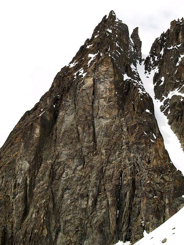
![]() "... Becca Fontaney, Mont Pisonet & Cima Franco Nebbia ..."
by Osw
"... Becca Fontaney, Mont Pisonet & Cima Franco Nebbia ..."
by Osw
Questo comprensorio concerne la parte più a Nordest della Valle d'Aosta. Consiste nel prolungamento del divisorio con la Svizzera che dalla Dent d'Hèrens raggiunge Cervino, Breithorns, Lyskamms e Punta Zumstein del Monte Rosa aprentisi a guisa di grande ventaglio da Occidente verso Oriente per poi, dalla Punta Gnifetti scendere decisamente verso Sud in direzione della Dora ed al confine con le tre Province del Piemonte di Novara, Biella e Torino fino al Mombarone sopra Pont St. Martin. Nelle zone più a Mezzogiorno o cosiddette interne abbiamo diverse aree selvagge e scarsamente esplorate come quelle intorno alla piramide della bella Becca di Luseney, ascensione di gran moda nello '800 e poi a poco a poco semidimenticata e rivolta sempre più, anche per la notevole trasformazione con il ritiro costante dei suoi ghiacciai, ad un gruppo ristretto di alpinisti. Ancor peggio le catene montuose subito appresso, alcune delle quali cadute proprio nell'oblio totale. Altre aree come quella dei Tournalins sopravvivono alla
"decadence", mentre alla Testa Grigia o Groabhopt si và ancora abbastanza frequentemente, grazie alla funivia che abbrevia percorso e fatica. Ma anche qui non mancano anche tra le pieghe di queste vallate le Cime poco conosciute e frequentate, oppur semplicemente cadute in disuso col passar degli anni e la fine della splendida
"Epopea dell'Alpinismo Classico".
Come quelle al Grand Golliaz, Mont Velan, Tre Fratelli e Molari di Valsorey-Luisettes, Gruppo dei Morion, Mont Claper, alla Punta Fiorio e fino al Blanchen/Braoulé nell'altro settore, mentre qui sono individuabili nella Becca del Merlo ed al trio Mont Nèry, Becca di Vlou e Becca Torché, tutte con le loro pareti ripide,
"scassate" eppertanto alquanto pericolose. Robe d'altri tempi, che si sono esaurite, senza più alcun rigurgito di proselitismo, tra la fine dell'800 e gli anni Sessanta del'900, appartenenti ormai ad un
"Alpinismo Eroico".
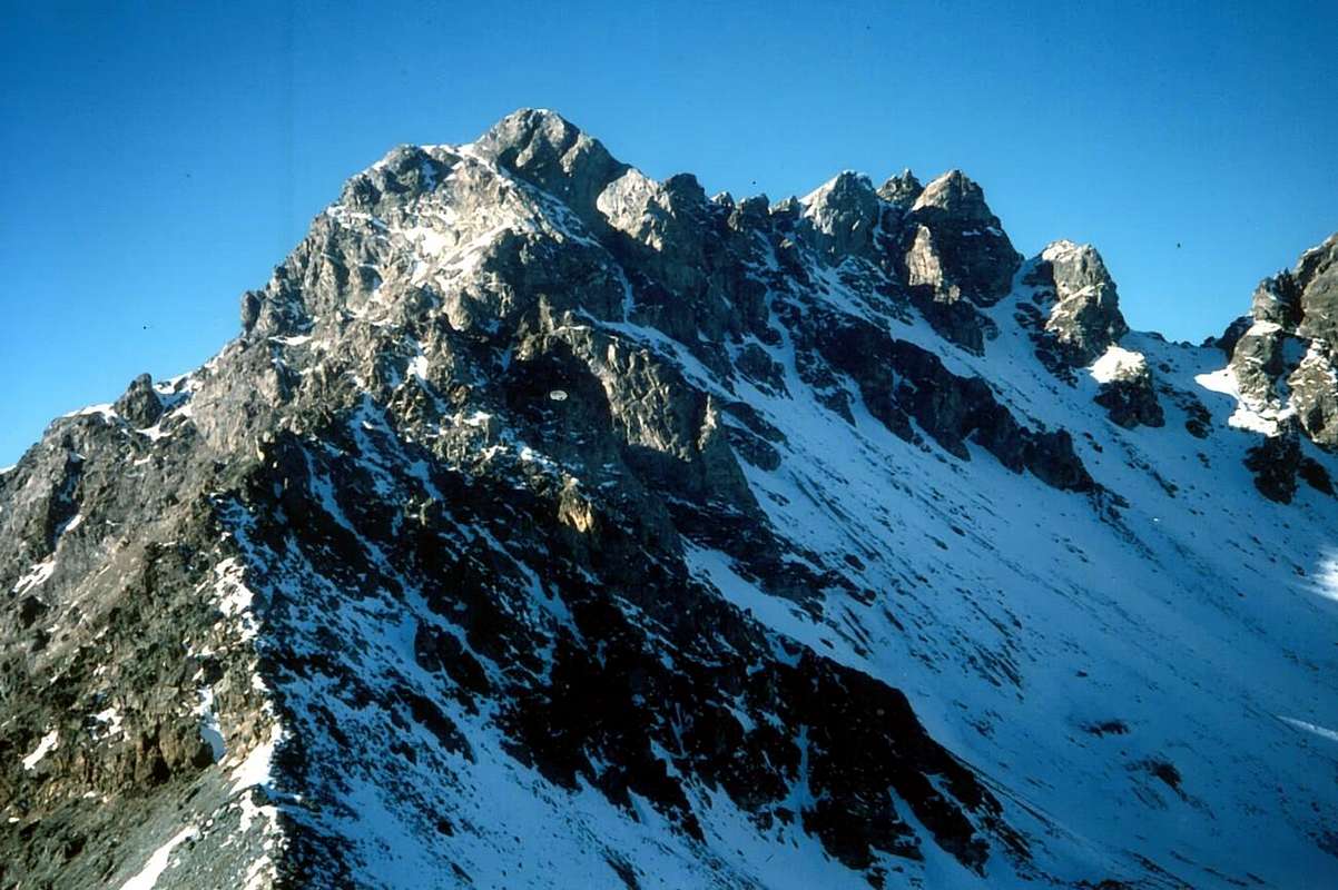
Becca del Merlo; Becca di Luseney; Grand and Petit Tournalins; Becca di Vlou & Becca Torché; Corno del Lago or Pic des Allemands
Poi esistono aree "miste", nel senso che a gite molto frequentate e conosciute (magari per la vicinanza di un rifugio o di un bivacco), se ne alternano altre ben di rado percorse. Un esempio consiste nella zona dei Laghi d'Estoul o Palasinaz, dove l'Escursione al Corno Bussola e la gita Sci-Alpinistica alla Punta di Valnera sono di moda, mentre Corno Vitello Punta di Valfredda, Bieteron sono molto meno meta di passaggi. Per non dire dei tre Mont Ciosé o Stallenhorn che, pur lì a due passi del Colle della Ranzola, rimangono degli illustri sconosciuti. Ugualmente nel vicino Vallone di Frudiera con diverse visitazioni agli omonimi due laghi e colle, mentre Marienhorn e Mont Nery o Becca di Frudière, da questo lato, vedono transitare ben pochi alpinisti; la vicina piccola catena (Mont Taille, Rena e Taf) che dal Colle della Ranzola si unisce a quello di Frudièrcòll é poi cosa per cacciatori o conoscitori locali di posti e situazioni. Un altro discorso ancora diverso concerne il lungo confine che separa la Valle di Aosta dal Piemonte: lasciando da parte la Punta Dufour
(4635 m), ormai completamente in Svizzera, il divisorio scende a Mezzogiorno offrendo tutta una serie di Sommità che, dopo le
"nobili" del Monte Rosa (Gnifetti, Parrot, Ludwigshoe, Schwarzhorn, Balmenhorn, Vincent e Punta Giordani) si
"affievolisce" man mano che procede a Mezzogiorno fino a raggiungere, laggiù in fondo, il modesto ma conosciuto Mombarone. Dopo Punta Indren con il suo rifugio lo stesso raggiunge lo Stolenberg, il Passo dei Salati ed il Corno del Camoscio ed il Col d'Olen; da questo punto la cresta procede ancora abbastanza conosciuta e frequentata, grazie alla vicinanza con il Lago del Gabiet, verso il Passo di Zube e Punta Straling. Quindi continua selvaggia ed ostica verso il Gruppo del Corno Bianco (
+; 3320 m), ormai completamente in Piemonte, onde proseguire sinuosa verso colli dal passaggio famoso nel passato (Rissuolo, Alpetto, Valdobbiola, Valdobbia, Camino, Maccagno, Mologna, Vecchia, Gragliasca) fino a raggiungere quello di Oropa nella Riserva del Mont Mars, ancor oggi frequentato per una famosa Processione alla Madonna. Quando le comunicazioni tra le valli avvenivano più a piedi che non tramite le strade, allora inesistenti, e la gente amava camminare scavalcando le vallate. Un'area avara di grandi Vette ed ai più sconosciuta anche a causa di mancanza di strade poderali sul versante della Val d'Aosta e con approcci lunghi e faticosi, ormai probabilmente abbandonati sin dagli stessi valligiani. Un terreno ostico per affrontare il quale
necessitano ottimi garretti e, soprattutto, tanto impegno nonché buona volontà ...
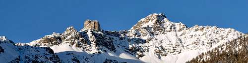
Valfredda & Valnera; Monts Ciosé; Testa Grigia; Stolemberg, Punta Indren up to the Punta Giordani and Piramide Vincent & Corno Bianco
Comments
No comments posted yet.