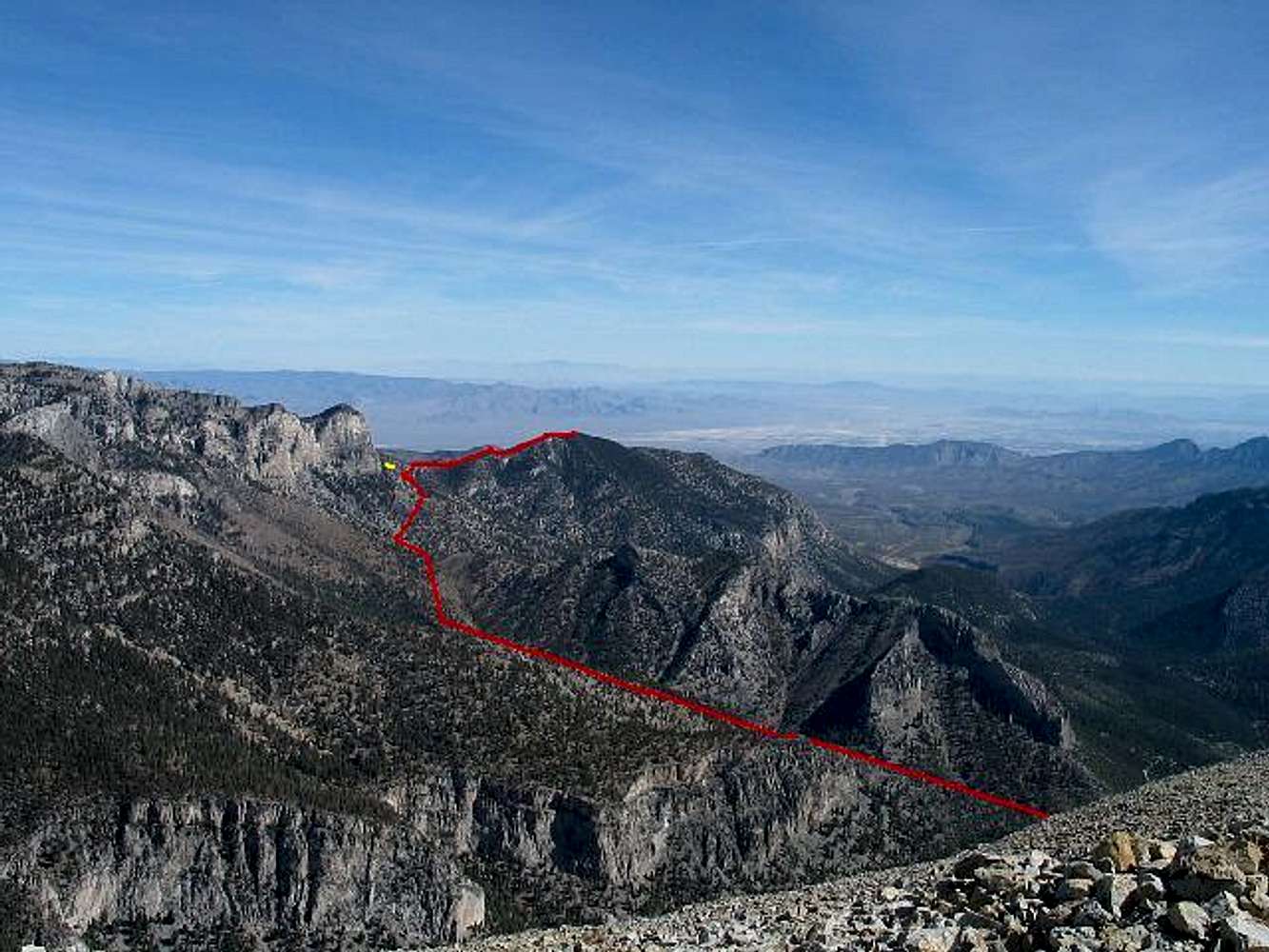
The red line illustrates the approximate route from near the start of Trail Canyon to the summit. Although the other approach from the start of the North Loop Trail is out of view, the yellow line illustrates the approximate spot where the two routes meet up and become cross-country to the summit. (My thanks to
Dean for the picture.)


