
|
|
Mountain/Rock |
|---|---|
|
|
47.06530°N / 10.57206°E |
|
|
Hiking |
|
|
Spring, Summer, Fall |
|
|
8517 ft / 2596 m |
|
|
Overview
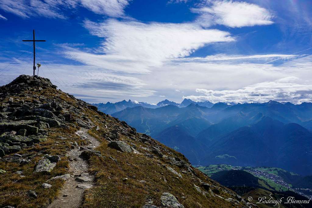
Oberer Sattelkopf Summit Cross with Watze (3534m) and Serfaus
Oberer Sattelkopf can be considered as one of the home mountains of Fiss, a famous mountain village in the Samnaun Group Alps. Oberer Sattelkopf rises directly to the west of Fiss and its large summit cross can be spotted almost from the village itself. Besides Fiss’ home mountain, Oberer Sattelkopf is a popular destination for hikers as well. The vicinity of the Serfaus-Fiss-Ladis cableway system, combined with the large summit cross and beautiful views are the main reasons for this.
Oberer Sattelkopf measures 2596 meters above sea level and is part of the long ridge connecting Zwolferkopf (2596m) in the NE with Planskopf (2805m) in the SW. In-between are Oberer- & Hinterer Sattelkopf (2670m) and Vorderer Brunnenkopf (2682m). The full ridge of mountains can be seen very well, especially from Serfaus (1427m). A famous hiking route in this part of the Samnaun group leads over the entire ridge of these mountains starting at Oberer Sattelkopf and ending at the highest peak of the ridge: Planskopf at 2805 meters. This hiking trail is not too difficult and very popular: T3+. Oberer Sattelkopf can be climbed best during the summer months plus in spring and fall, when there is no snow present on the mountain.
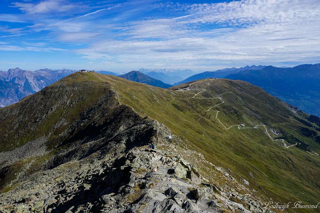 Summit view towards Zwolferkopf and Fisser Joch | 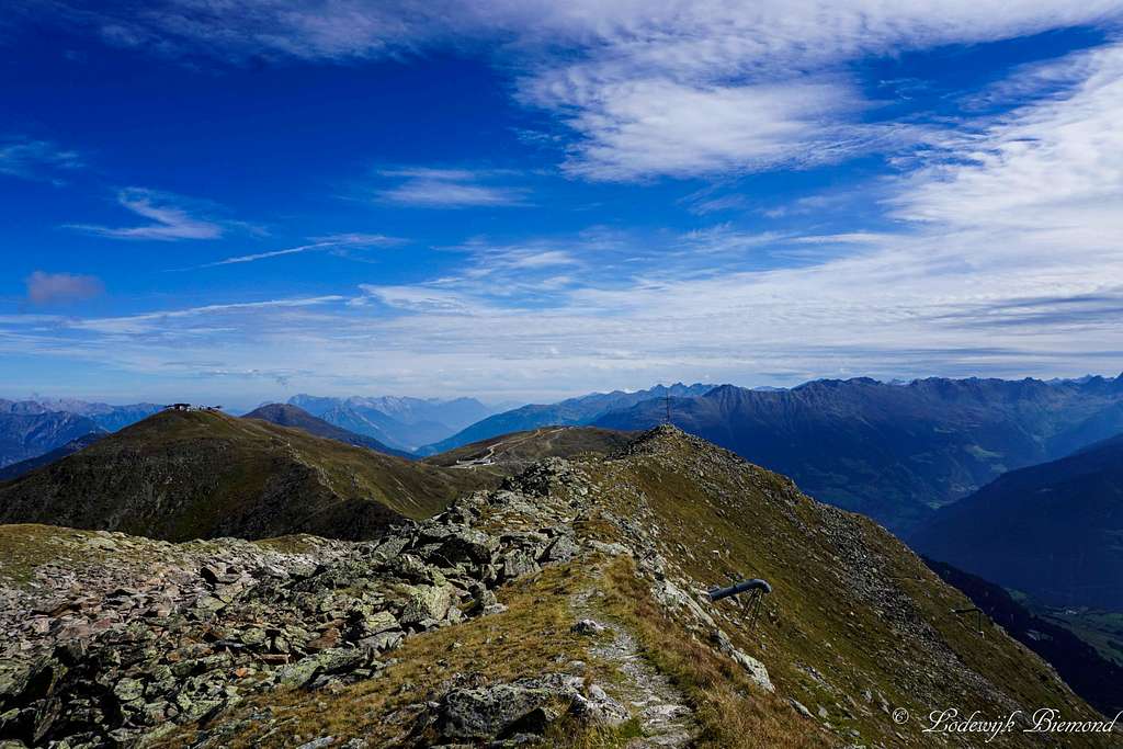 View from the ridge to Oberer Sattelkopf |
Oberer Sattelkopf is the second highest peak of the ‘4 brothers’ carrying the same name. To the west of Oberer Sattelkopf is the highest one: Hinterer Sattelkopf (2670m) and towards the south of it are, in this order: Mittlerer Sattelkopf (2320m) and Unterer Sattelkopf (2091m).
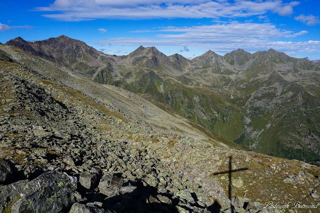
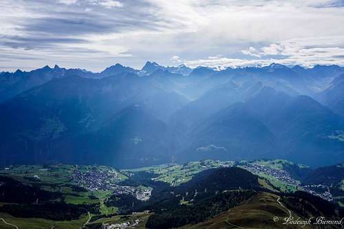
Oberer Sattelkopf is located in the (far) eastern part of the Samnaun Group. The only peak more to the east is Zwolferkopf (2596m) and the altitude of the ridge decreases further to the East-NE down to the village of Fliess, which marks the ending of the Samnaun Group mountains. Because of this position on the edge of the Samaun Group one can enjoy the perfect summit view, especially towards the north and east. Towards the north rises the Venet region with Glanderspitze, towards the east the Kaunergrat, towards the southeast the Glockturmkamm and towards the west the Samnaun Group.
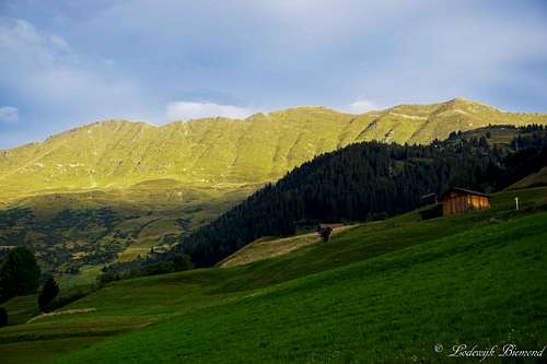
 The summit Cross and Rotpleiskopf (2936m) | 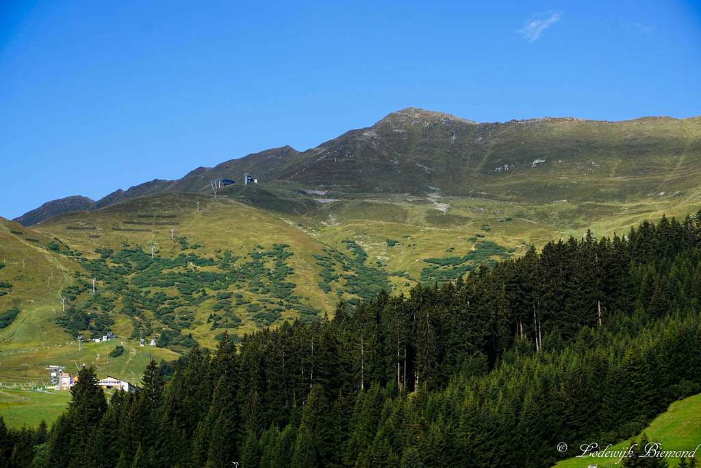 Oberer Sattelkopf (2596m) from Fiss |
Routes Overview

Oberer Sattelkopf Route MAP
Route I From Fisser Joch
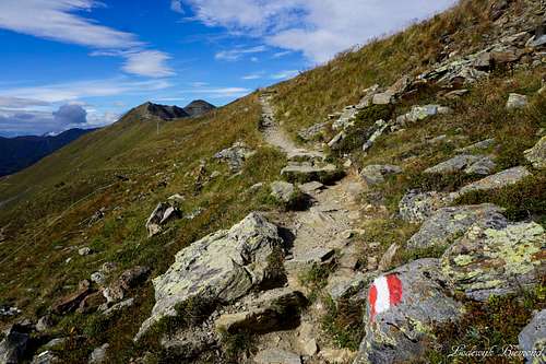
On Trail towards Sattelkopf
Route II From Steinech
Oberer Sattelkopf (2596m) from Serfaus
‘Naturthermenweg’’, a broad path marked in orange on the map above and follow it in a western direction. At the first junction leave this broad path and follow hiking trail number 11 towards the Oberer Sattelkopf. At this point the trail becomes steeper and leads to Mittlerer Sattelkopf at 2320 meters. Keep following trail number 11 and after a steep hike you will reach Oberer Sattelkopf at 2596 meters. This route is a relatively steep, well-marked hiking trail with a gradation of T3. It takes 2 to 2,5 hours from Steinech to the summit. Of course it is also possible to start from Fiss (1436m). Take route 9 or 10 up to Steinegg from Fiss, or route 8 to the Moseralm and further up where it joins route 11. Starting from Fiss adds another 1,5 hours to the ascent time.
How to get there

How to get There Map
When to climb
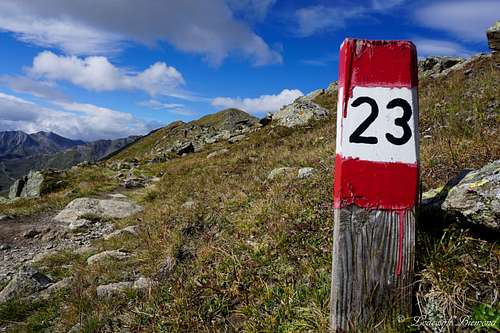
Trail 23 towards Sattelkopf and Planskopf
Maps and books
Kummerleyand Frey – Ischgl & Serfaus - 1:35.000 - ISBN 9783259007136
Kompass 42- Landeck Nauders Samnaun Group – 1:50.000 - ISBN 9783850265423
 |  |
External Links
Fiss and Serfaus
Webcam Fiss & Sattelkopf
Bergfex Weather Fiss and Serfaus
Accomodation in Fiss