WA COHP Locations

WA COHP Locations

In spite of the massive size this map is probably best viewed at the original size. All of the county highpoints of Washington are shown above. However, note that Daniel is only shown once as it is only one mtn whose summit accounts for the HP of two counties. Also, due to the scale of the map all HPs are shown as one entity even though several involve multiple contours or sub-summits.
ericnoel
on May 30, 2006 7:26 am
Image Type(s): Topo/Diagram
Image ID: 197070

Comments

Post a Comment
Viewing: 1-1 of 1
Bob Bolton

Bob Bolton - May 30, 2006 3:00 pm - Voted 10/10
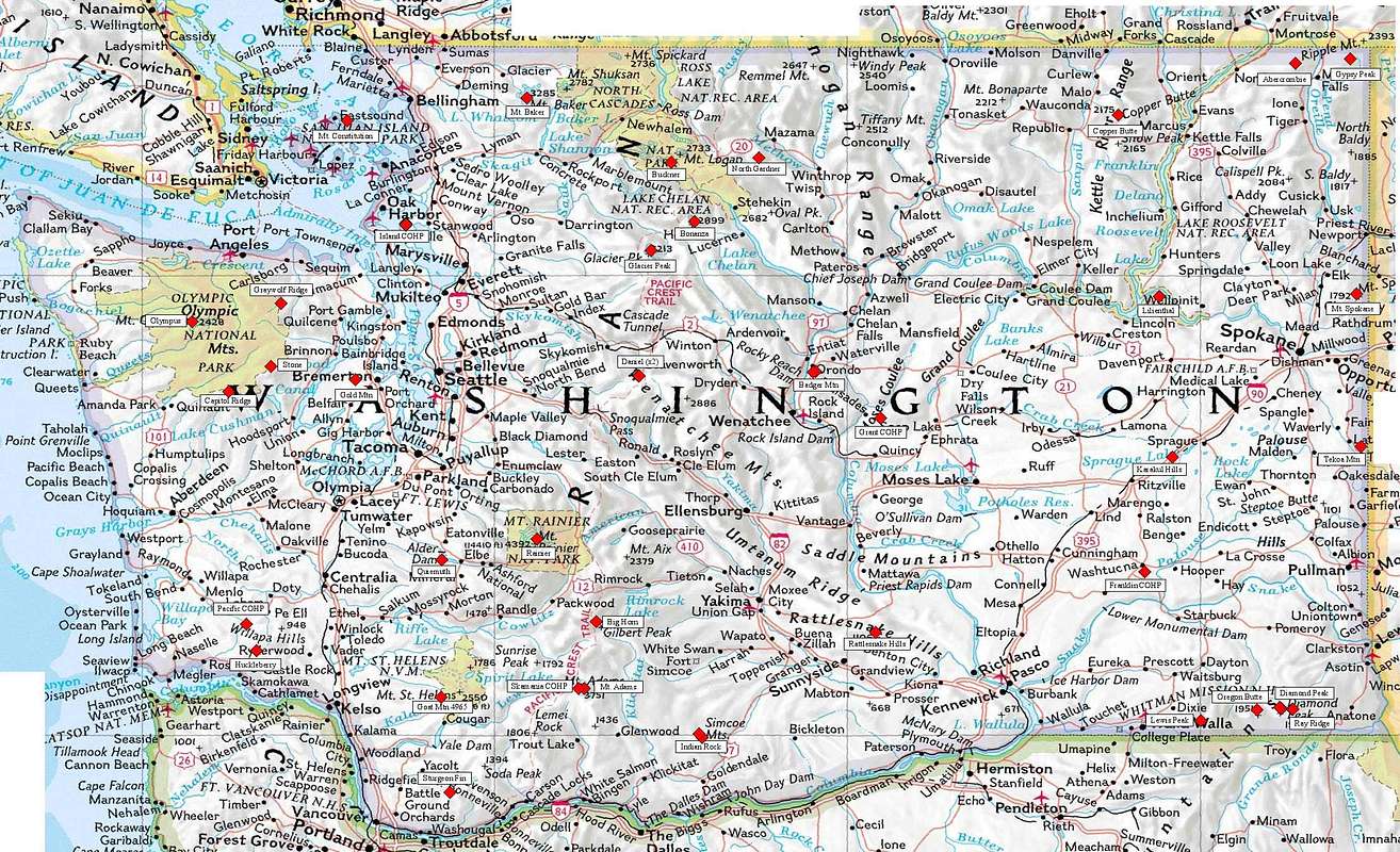
Great looking map

Thanks for this submission Eric - nice work! -Bob

Viewing: 1-1 of 1