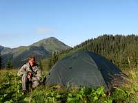
Page Type Page Type: Area/Range
Location Lat/Lon: 47.92580°N / 24.32476°E
Activities Activities: Hiking, Skiing
Seasons Season: Spring, Summer, Fall, Winter
Additional Information Elevation: 6421 ft / 1957 m
Sign the Climber's Log

Overview

Video created by LukZem after three visits to the Marmarosh Mountains 1/2
Video created by LukZem after three visits to the Marmarosh Mountains 2/2


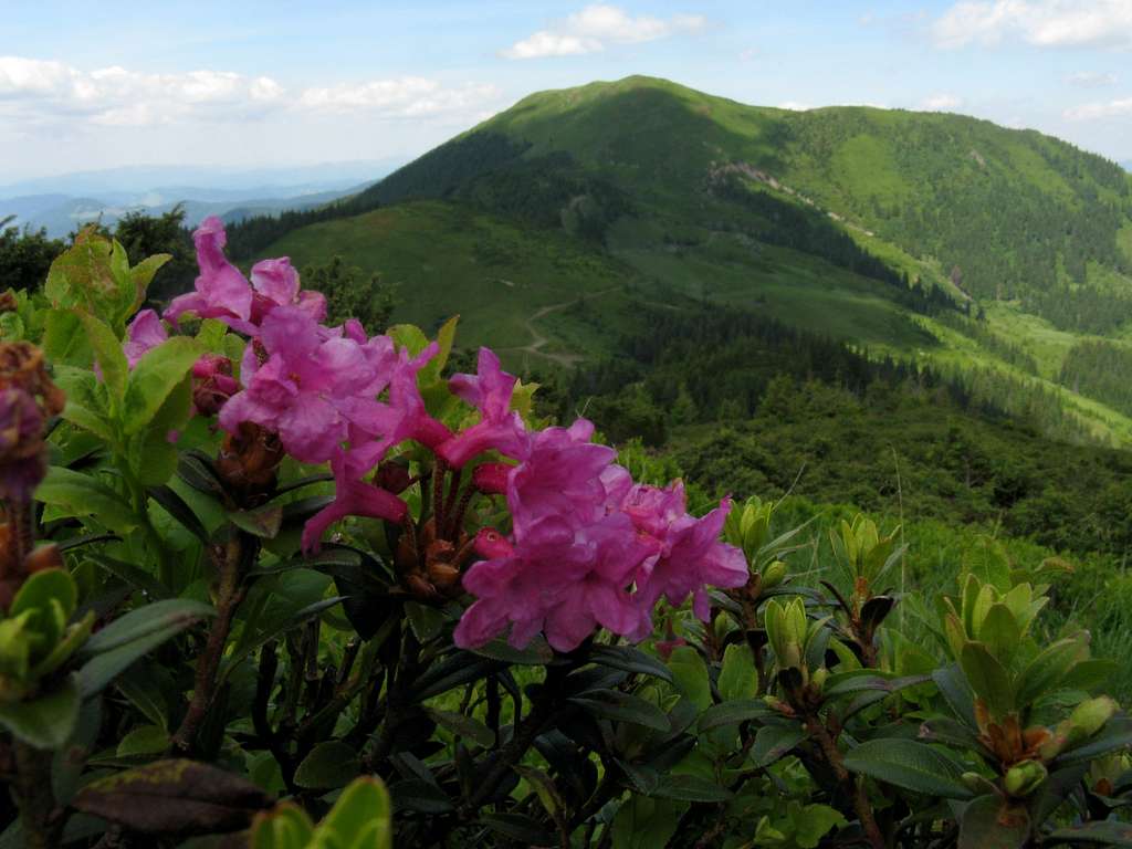
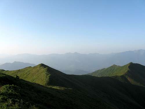
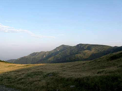
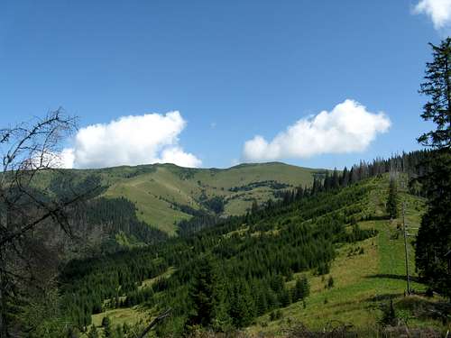
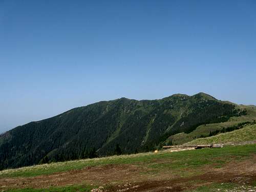
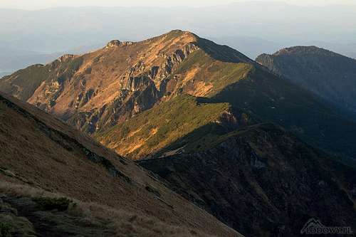
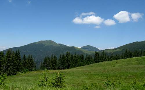
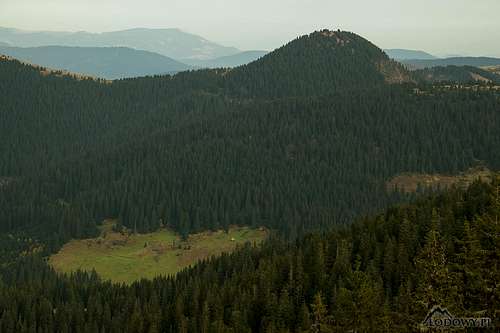
Fairy landscape
Rhododendron Kotschyi and Berlebashka (1733m)

Мармароські гори (UA)

Munţii Maramureşului (RO)


Máramarosi-havasok (H)

Marmarošské hory (ČS)

Karpaty Marmaroskie (PL)


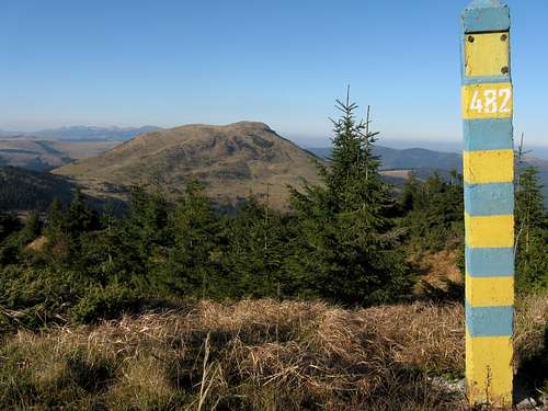
The Marmarosh Mountains should not be confused with a picturesque region of Romania. Neither of them should be confused with a historic province of the Kingdom of Hungary, which covered a much larger area. Most of the main ridge of the Marmarosh Mountains (along with most of the main ridge of their northern neighbour, the Chornohora), has for centuries functioned as an international border. For centuries somewhere near the summit of Hnatasya/Ignăteasa/Hnitessa was the T-junction of borderlines dividing the Kingdom of Hungary, the Polish-Lithuanian Commonwealth and the Principality of Moldavia. Later, between the first and second world wars the three borders converged on the summit of Stih (Stoh/Stóg/Stogu), but at that time the three countries were Czechoslovakia, Poland and Romania. This has had some impact on the toponymy of the mountains, but the most important was the fact that for several centuries the Marmarosh Mountains have been an area where both Slavic (Rusyn) and Romanian-speaking highlanders grazed their sheep, cattle and horses. All this results in the mountain toponyms forming very interesting combinations of diverse languages (and occasional misunderstandings). The first fairly good (despite containing countless spelling and some factual errors) maps which feature names of the most important mountains were made in the 1780s by the Austrian military. A hundred years later the area was mapped at 1:25,000 (!)

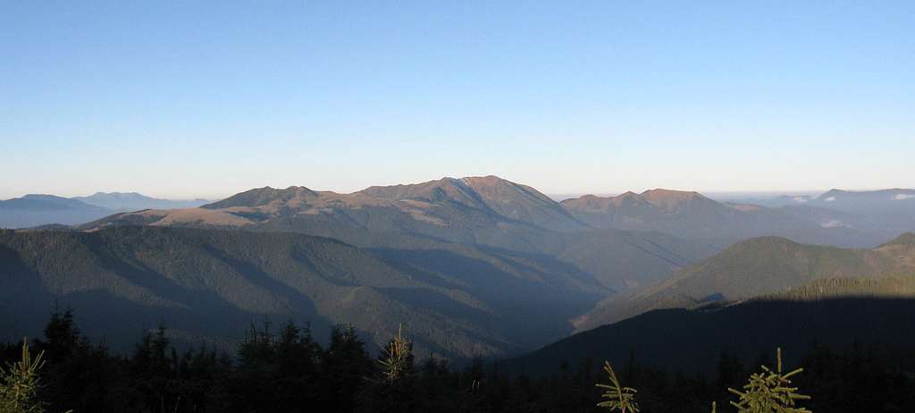
Maramures seen from Chornohora
Farcău, the highest, on the left - by Petro
Mount Pip Ivan from Mezipotoky
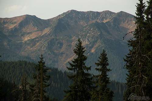
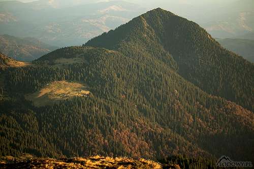
NE face of Pop Ivan - by Tomek Lodowy
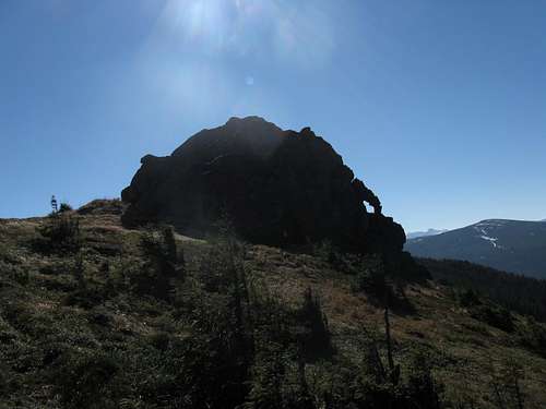
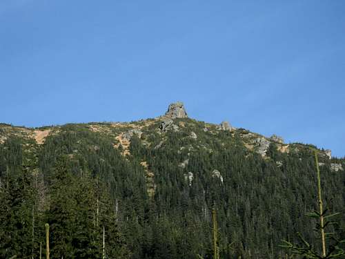
Silhouette of Hnitessa cliff
Mysterious Hnitessa's crag
 
The boundaries of the Marmarosh Mountains are clear-cut, except for the southeast corner. The west end of the mountains is at the confluence of the Tisa and the Vişeu rivers (the latter is believed to be tributary to the former), about 15 km east of the town of Sighetu Marmaţiei. From there the west border runs north along the Tisa to soon turn right, that is to say eastward, up the course of the White Tisa, which flows between the Marmarosh Mountains and the Chornohora. Back across the Marmarosh Mountains, the Vişeu River forms their southwest and south boundary, the latter separating the Marmarosh Mountains from the Rodnei Mountains. Past the pass called Prislop, the south boundary of the Marmarosh Mountains runs along the valley of Bistriţa Aurie (Golden Bistritsa) toward the village of Cârlibaba (Kirlibaba). Just before Cârlibaba, the southeast end of the Marmarosh Mountains is marked by the confluence of the Bistriţa Aurie and Ţibau Creek. The northeast boundary of the Marmarosh Mountains is also well defined by a broken line composed of the uppermost course of the White Tisa, the Black Cheremosh across which the Hryniava Mountains sit, Sarata Creek and Ţibau Creek.
 
Whereas in the second half of the past century the whole area of the Chornohora was incorporated into Ukraine, the Marmarosh Mountains have remained split between two countries - Romania and Ukraine. In Ukraine, the western part of the Marmarosh Mountains is usually called Rakhivs'ki hory (Rakhiv Mountains, also the Hutsul Alps), while the eastern part is known as Chyvchyns'ki hory. 
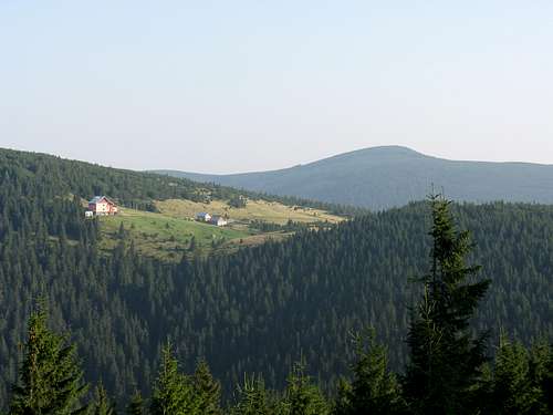
Toroiaga group (1930m)
The Toroiaga group beyond the upper reaches of the Vaser Valley
Both the geomorphology and the geology of the Marmarosh Mountains are complex and extremely interesting. Their nearly a hundred kilometres long main ridge, which forms the state border between Ukraine and Romania, is oriented in the NW-SE direction and – except its western section in which the gneiss Pop (Pip) Ivan reigns - is relatively low, mostly of flysch, which is not very resistant to erosion. The peaks that crown the lateral, southern ridges which can be regarded as mountain groups in their own right - Farcău, Pietrosu Bardăului, Toroiaga, Cearcănu - separated by the tributaries of the Vişeu (Vyshov) River (Ruscova, Vaser and Cisla creeks), are considerably higher as they are composed of hard, metamorphic or volcanic rock. They mark the original, ancient line of the main ridge which has been pushed northeasterly by headward erosion of the tributaries of the Vişeu. These mountains are still being lifted by tectonic forces relatively quickly. The valleys are deep so climbing any of the highest summits from a village at its foot translates to an elevation gain of at least 1,200m. Talking of the variety of rocks, limestone is also present in the Marmarosh Mountains, so are caves and other karstic phenomena. Traces of small Pleistocene glaciers enrich the landscape of the highest massifs, especially on the northeast side of Pop Ivan, although the longest valley glacier developed at the headwaters of the White Cheremosh, east of the main summit of Jupania.
 
 
The table below lists the highest as well as some other conspicuous summits.
 
Summit
Elevation in Metres
Photo
A few words about
Farcău
1957
His majesty
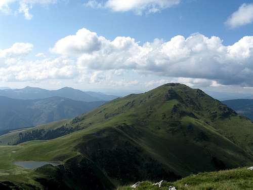
Formed of submarine basalt, the highest peak in the Marmarosh Mountains, sits in the north, just a few kilometers from the main ridge/border. It has a prominence of 620m and gives an interesting view of Pop Ivan, which rises several kilometers to the west. Blue stripe trail from the village of Repedea. More info on the parent page.
Pop Ivan
1938
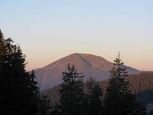
Pop Ivan in the morning sunshine
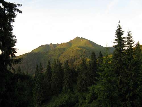
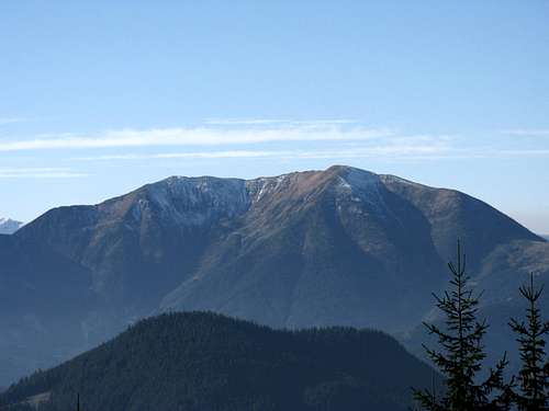
The most spectacular massif in the Marmarosh Mountains, situated in the northwest, on the border between Ukraine and Romania. It is the highest summit on the main ridge as well as the highest summit in the part of the mountains that Ukrainians call the Rakhivskyi' Mts., with nearly 550m of prominence and several postglacial cirques on its northeast side. In geological terms, this is an islet of the ancient Precambrian gneiss of the nearby Rodnei Mountains.  Accessible only with a permit! (See Red Tape chapter) More info on the parent page.
Toroiaga
1930
Toroiaga summit (1930m)
The third highest and the third most prominent (530m of prominence) summit in the Marmarosh Mountains, in their southeastern part, between the valleys of the Vaser River and Ţişla Creek, north of the resort of Baia Borşa. The mountain, formed of andesite (once lava on the bottom of a deep ocean), contains ores, which were extensively mined until the end of the 20th century. The name of the massif seems to be Rusyn in origin and a reference to the fact that it has three clear-cut ridges (and three diverse sides). An unmarked path from Lucaciasa. Red triangles from Baile Borsa to Lucaciasa Refuge.
Mihailecu
1918
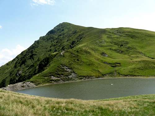
Mihailecu summit  and Vinderel lake
Just south of Farcău, which rises on the other side of Lake Vinderel. Alternate beds of limestone and basalt, folded and set vertically. Red stripe trail from Luhei. More info on the parent page.
Murgu
1880
Murgu summit (1880m)
In the Toroiaga Group, about one kilometer south of the summit of Toroiaga. Unmarked path from Toroiaga.
Jupania
1853
Jupania summit (1853m)
In the south-east, west of Toroiaga Group, in the main ridge, 2km off the border, within Romania's territory. About 4km south of the legendary summit of Hnitessa. Jupania is completely covered with crooked trees and bushes (dwarf pine and juniper), almost impenetrable. It may have always been like that, since the name of the mountain seems to derive from 'jneapăn', which means dwarf pine in Romanian. Red stripe traverse.
Pietrosu Bardăului
1850
Pietrosu Bardăului (1850m)
The peak stands in the central part of the Marmarosh Mmountains, between the valleys of Vaser and Ruskova rivers. Formed of relatively hard sandstones and conglomerates, the mountain has over 420m of prominence and fair postglacial corries. Around the summit there are plenty of small freeze-thaw earth structures, similar to those found in the Arctic tundra. The name of the mountain is a combination of Romanian 'pietros' (rocky) and Rusyn 'berdo' (bluff/steep slope). Red stripe trail from Luhei or Bardau (Vaser valley).
Cearcănu
1846
Cearcănu massif (1846m)
To Hungarian people known as Sárkány (Dragon), in the southernmost part of the Marmarosh Mountains, just north of Prislop Pass. Its top part is formed of limestone beds. The peak has a prominence of 440m. No marked trail.
Neneska / Mica Mare 1818
Mica Mare (1815m)
The mountain, located on the border several kilometres north of Farcău, has two summits with similar elevations and about 350m of prominence, which makes it the second most prominent summit on the main ridge. 
Piciorul Caprei
1804
Piciorul Caprei massif (1804m)
In the Toroiaga Group, about 3km east of the summit of Toroiaga. Red stripe from Lucaciasa Refuge.
Sherban / Zherban 1793
Mount Sherban
On the main ridge, 2.5 km southwest of Pop Ivan. Telling by the name and looks of the mountain, the root word of the toponym must have meant notch or cliff
Petros
1781
Mount Petros
A prominent peak (over 280m of prominence) on a side ridge north of Pip Ivan, in the territory of Ukraine.
Chyvchyn
1767
Chyvchyn massif (1765m)
Close to the main ridge (approx. 0.5km off the border, on the Ukrainian side), halfway between Hnitessa and Stoh. In Ukraine this part of the Marmarosh Mountains is known as the Chyvchynskyi' Mountains.
Hnatasia / Ignăteasa / Hnitessa 1767
The sentimental crag of Hnitessa peak
On the main ridge, with interesting rock formations, between the headwaters of the Vaser and the Cheremosh. For centuries somewhere near the summit was the T-junction of borderlines, or rather no man's frontier swaths separating the Kingdom of Hungary, the Polish-Lithuanian Commonwealth and the Principality of Moldavia. This fact and a legend that the Y was marked with ancient border stones makes Hnitessa (as Poles call the mountain) an honorable goal for the Polish hiker. On the Austrian map made in the 1780s, the peak is named Balenica/Ichniadassa, which suggests that its name derives from a clearing made by burning forest by a man called Ihnat (Ignatius).
Berlebashka 1733
Berlebashka (1733m) and Petros (1780m) summits
On the side ridge running north from Pop Ivan, between Pop Ivan and Petros.
Stih/Stogu
1651
Mount Stih
On the main ridge, about 10km ENE of Farcău. The peak, whose name translates as Haystack, sends to the north a ridge which connects the Marmarosh Mountains to the Chornohora range. From 1918 to 1938 the very summit was a T-junction of the borders of Czechoslovakia, Poland and Romania.
 
E Carpathian T-junction, 1938
1930s T-junction
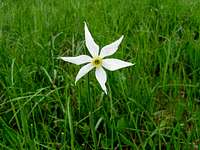
Narrow-leaved narcissus (Narcissus radiiflorus)
Narrow-leaved narcissus
Beyond Map & Time
Centuries of history

The main ridge has a length of approximately 90km and to a large extent resembles a rolling plateau. It forms a watershed between the Upper Tisa and Cheremosh drainages and it is closely followed by the Romanian-Ukrainian border. On the main ridge sit the following summits, from west to east: Menchul/Muncel (1370m), Polonynka (1627m), Sherban/Zherban (1793m), Pop/Pip Ivan (1938m), Holovac (1549m), Bendrias'ka/Bendreasca (1567m), Mezipotoky (1713m), Neneska/Mica Mare (1818m), Schavul/Shaul' (1753m), Korbul (1696m), Stih/Stoh/Stogu/Stóg (1651m), Rehes'ka/Radiescu (1570m), Kopylash/Copilasu (1599m), Kernichny (1589m), Ledyeskul/Lădescu (1580m), Budiyevska Velka/Budescu (1678m), Chyvchynazh/Civcinaj (1588m), Suligul/Şuligu (1688m), Lostun (1642m), Purul (1617m), Ştevioara (1621m), Koman/Comanu (1724m), Palenitsa (1750m), Hnatasia/Ignăteasa/Hnitessa (1767m), Krechela/Jupania (1853m – in Romania, south of the border, which has just taken a sharp turn east), Fîntîna Stanchi (1726m), Cornu Nedeii (1763m).
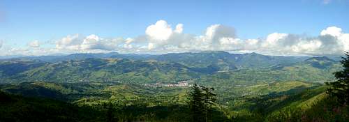
Maramureş Mountains Marmarosh Mts from the Rodnei - photo by peterbud

Red Tape

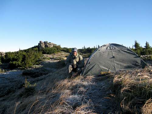
Most of the Marmarosh Mountains is protected, in Romania as Muntii Maramureşului Natural Park and in Ukraine as Marmaroskyi Protected massif. Still, you are allowed to pitch your tent virtually anywhere, on either side of the borderline.

A permit is required to hike along the borderline!
Stih/Stogu (1650m) on the horizon Stih/Stogu on the horizon
Romania vs Ukraine 1 : 0 Romania vs Ukraine 1 : 0
reminder of bygone times Reminder of communist era
valley of Tisa river Tysa River - part of border
border corridor and Comanu summit (1724m) Border corridor
five domes in the background Five "domes" - worth clicking to enlarge
Chyvchyn summit (1767m)
Chyvchyn summit
The crag of Hnitessa summit
Hnitessa's crag
RO/UA border summit of Hnitessa Hnitessa
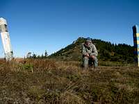
on the top of Stih/Stogu The top of Stih/Stogu
wooden shelter of  frontier guards Wooden shelter of frontier guards
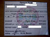
Permit

According to the Romanian laws, hikers can get as far as 20 meters away from the border corridor known as a "Protection Area". To enter the Protection Area, you need a permit issued by the border police point in the sector you want to visit. You also need to carry your passport or ID card.  

If you wish to enter the Protection Area, you can obtain the permit on arrival. Below you will find the addresses and telephone numbers of particular border police points.

  • BPS Valea Vişeului, Valea Vişeului city, Railway Building
  • BPS Poienile de sub Munte, Poienile de sub Munte town, Main street, no. 1764, tel. +40 262 367 022
  • BPS Vişeul de Sus, Vişeul de Sus city, 22 December street, no. 33/A, tel. +40 262 354 680

If you want to hike along the border line, please fill in the below form and attach a copy of your passport. Then send it all to Inspectorate of Border Police, No. 38 Dragos Voda, Sighetu Marmatiei 435 500, Maramures, ROMANIA (tel.  +40 262 314 528 or +40 262 315 228)  

After several days you can ask for a confirmation that your papers have reached the office. Here is the e-mail address: relatiipublice@ijpfmm.ro (www.ijpfmm.ro)  

 
PERMISSION FORM

Permit Number Issued to a citizen of …………………… (full name, address, country). The objective of the trip into the border area is ………………………. Hiking is permitted in border section.............from …hours to …hours Issued on…………………… Valid until…………………… Passport number…………………Date of issue.........  

NB Ukrainian laws are kind of bothersome bureaucracy and you will even need permission to enter the area 3-5 km off the border line. Moreover, the negotiations with the Ukrainian border police can be very frustrating, because they don't usually speak English. If you want to visit the Ukrainian part of the Marmarosh Mountains, please fill in an appropriate form (above) and send it, with a copy of your passport, 15-30 days before your trek, to the following addresses.

This border office controls the area between Dilove village and Stoh summit:

Мукачивський прикордонний загин, вул. Недецей 45, Мукачeвo 896 00, Закарпаття, УКРАЇНА

e-mail: mukachivskiy_zagin@pvu.gov.ua, telephone: +38 03131 2 12 61


This border office controls section from Stoh via Chyvchyn to Hnitessa summit.

Чернівецький прикордонний загин, вул.Герцена, 2a Чернівці 58022, Чернівецькa обл., УКРАЇНА

email: cherniveckiy_zagin@pvu.gov.ua, telephone: +38 0372 59 19 57 

A couple of days before your arrival it is necessary to verify your permit by calling these border police points: Szybene (+38 03432) 3 31 31, Dilove (+38 03132) 3 23 45, Bohdan (+38 03132) 2 20 42. After this procedure is completed, you may (not necessarily will!) receive your permit at these border police points.  A story (told by PipIvan) about how some Ukrainian trekkers obtained their permit is here. If you need help with translation, please PM LukZem.

Crossing UA/RO borderline is strictly forbidden!

When To Go

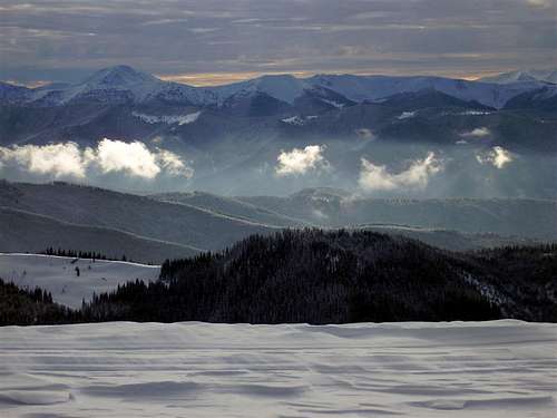
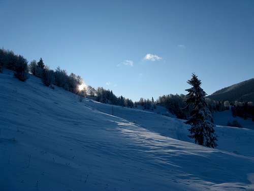
Spring, summer and winter shaking hands
Early July 2008
Sunrise with Petros Maramoroskyi (1780m)
July 2008
Unforgettable camping at the top of Hnitessa summit
October 2010
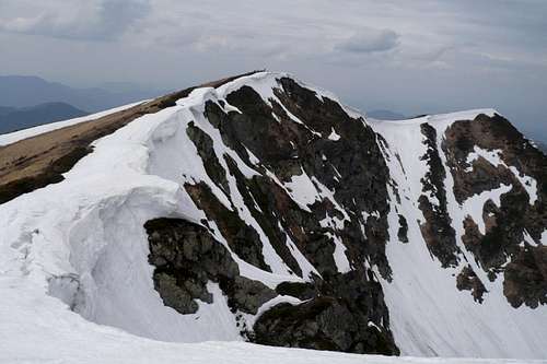
  • In winter and spring the avalanche risk can be high
  • As for flood hazard, please see the following chapter
  • AccuWeather forecast for Dilove
  • AccuWeather forecast for Repedea
winter morning near Rakhiv
January 2009
Photo from top_2
1 May 2010 - photo by PipIvan
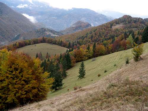
Autumn colours of Marmarosh
October 2010

Valley of Vaser

light and shade of mixed forests Forest light and shade
Autumn mood Valley in October
upper parts of Vaser Valley Damaged upper parts
In Vaser valley August
Better than in western movies
The Mocăniţa
Floodland, 2008 memories
Click & read

The valley of the Vaser River is a major tourist attraction of the Marmarosh Mountains. The valley is situated in the central part of Maramureş Mountains Natural Park, occupying about 30% of the park's territory. The scenery along the Vaser Valley is romantic, wild and picturesque. The valley is about 60 km long, deep, V-shaped, with steep slopes covered by dense forests, with patches of beautiful glades, dotted with mineral water springs. Due to difficult access, the Vaser Valley has remained wild, and still contains habitats hardly touched by humans, favourable to wildlife.

Entry into the valley is possible on an old train known as Mocăniţa, put in motion by a steam engine. Along a 43.5-km section of the valley runs a narrow gauge railway (760 mm) built from 1924-1932. Today it is the last and only operating forest railway in Europe!

But the train goes only as far as the stop called Paltin (approx. 22 km), because heavy floods damaged the upper parts of the valley in the summer of 2008. There is an interesting SP article available (plus an album) - an aftermath of a journey on the quaint train made by Tomek Lodowy.

A day trip on the forest train is a rare attraction, but if you really want to get to know the "Wassertal", you should stay several days. Careful preparation would be needed, because the valley is not populated and below the high-lying pastures it is completely covered with forest. There are only two marked trails leading from the Vaser Valley up onto the ridges of the Marmarosh Mountains:

Trailhead At Summit Marks Hiking Time Net Elevation Gain Remarks
Bardău Pietrosu Bardăului red stripes 4-5 hr 1100 m 2 km from Paltin
Măcârlău Toroiaga red triangles 5-6 hr 1100 m at 37 km - access possible on the freight train departing about 6 a.m. from Vișeu de Sus


In Vaser valley
Freight train at Făina stop Freight train at Făina stop

One can visit a small church located above the railway station in Făina (km 32). The church was built by Austrian settlers and is dedicated to the famous empress Elisabeth, to many better known as "Sissi". Some 5 km past the campsite at Făina, near the Măcârlău stop, the railway passes remains of a dam. At this point the Vaser River used to be retained so that timber could be rafted down to the faraway saw mills. Each visit to the valley of the Vaser, whether a day trip along the railroad or a few days' trek with a tent and sleeping bag, is still an adventure. Roaming the shady forests, mountain pastures flooded by sunshine and forlorn railway stops, you will explore a fascinating, different world.

Also, please take into consideration the following things:

  • There is no place to buy food in the Vaser valley, except for dairy products at the sheepfolds
  • Storms, floods and other natural disasters can make some portions of the paths more difficult, or even inaccessible at all. It is therefore necessary to get informed on the accessibility of the itineraries you wish to follow. (NB During the July flood of 2008 the trapped tourists had to be evacuated by helicopter.)
  • Do not take any risks off the paths or forest tracks if you do not have the stamina and experience.
  • Since you are in the frontier area, you have to carry your identity documents!
  • Your cell phone will be useless - there is no signal in the area!

Video created by LukZem after his two visits to the Vaser Valley

Wildlife

Female  capercaillie <i>(Tetrao urogallus) <i> A female capercaillie
The Marmarosh Mountains belong in the wildest areas in Eastern Europe, with bears, wolves and lynxes living in their beech forests. The mountains are one of some thirty Carpathian regions important for biodiversity. Therefore, plans are being made to establish a bilateral biosphere reserve here. The wildlife is characteristic of the Eastern Carpathians, which are home to a range of endemic species and generally boast high biodiversity.
Black woodpecker <i>(Dryocopus martius)<i>Black woodpecker
A pair of nutcrackers <i>(Nucifraga caryocatactes)<i>A couple of nutcrackers
Green woodpecker <i>(Picus viridis)<i> Green woodpecker
The avifauna is typical of the montane beech forest, mixed forests and treeless areas. There are several interesting bird species, such as the black woodpecker (Dryocopus martius), which prefers large old trees that stand deep inside semi-pristine forests. The green woodpecker is a shy bird but it usually draws your attention with its loud calls. Various types of coniferous woodland form the best habitat for the nutcracker (Nucifraga caryocatactes).
The common crossbill - female <i>(Loxia curvirostra)<i> The common crossbill - female
roe deer Roe deer directly on UA/RO border
Common crossbill - male<i>(Loxia curvirostra)<i>The common crossbill - male
The common crossbill (Loxia curvirostra) is a typical representative of pure spruce forests, because it feeds on conifer cones. The capercaillie (Tetrao urogallus) is a common species in the area. It can be easily encountered in the Tomnatic Massif and on Bucovinca. The ring ouzel (Turdus torquatus) is the mountain equivalent of the closely related blackbird. The long-tailed tit (Aegithalos caudatus) can usually be found in small flocks. The raven (Corvus corax) has a wide range of vocalizations, which remain an object of interest to ornithologists. In the sky over the Marmarosh Mountains, silhouettes of the birds of prey can normally be seen. The lesser-spotted eagle (Aquila pomarina) needs old forests for nesting and meadows or extensive agricultural land mosaics for food. The peregrine falcon (Falco peregrinus), which prefers rocky spots, has been registered here. The Eurasian (or Northern) sparrowhawk (Accipiter nisus) is known for an amazing difference between the sexes. The female is up to 25% larger than the male.
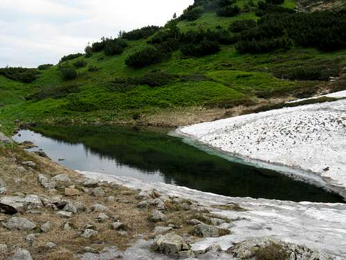
The lesser spotted eagle <i>(Aquila pomarina)<i> Lesser-spotted eagle
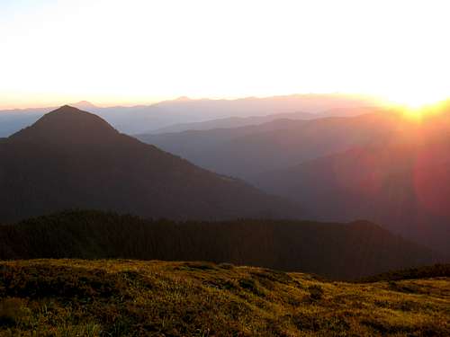
Ring ouzel <i>(Turdus torquatus) <i>Ring ouzel
The  sparrowhawk <i>(Accipiter nisus)<i>Sparrowhawk
The fauna of the Marmarosh Mountains is very similar to the fauna of the Chornohora, but it has some peculiarities. The rugged landscapes of the higher ground favor such species as the snow vole (Chionomys nivalis) and the alpine accentor (Prunella collaris). Big game is represented by the wild boar reaching over 200 kg in weight. The male can live in seclusion, only leaving the forest in the evening. But most wild boars usually live in packs of 5-12 individuals. Another token forest animal is the red deer (Cervus elaphus). Among the amphibian species is the newt (Triturus). The typical reptile species is a heat-loving lizard (Lacerta). As far as invertebrates are concerned, one should note endemic species of insects which are confined to the rocky outcrops. From among the butterfly species, the purple emperor (Apatura iris) should be mentioned.
Lizard <i>(Lacerta vivipara)<i>Lizard
Wild boar <i>(Sus scrofa)<i>Wild boar
Purple Emperor <i>(Apatura iris)<i>Purple emperor
Note: During LukZem's three visits - to either side of the protected territory astride the main ridge of the Marmarosh Mountains - about 90% of the aforementioned species were observed.
Video by LukZem

Getting There

Viseu de Jos railway station
Vișeu de Jos train station
Solotvino/Sighetu Marmatiei border crossing point (UA/RO)
Solotvyno/ Sighetu Marmației border crossing point

Accommodation

Because of the remoteness of these mountains a tent is really worth carrying. In the Romanian part there is only one unmanned refuge called Lucaciasa, in the Toroiaga massif, at 1688m. Across the border, you may come across a shelter in the vicinity of Pop Ivan. You can also make use of the many shepherd's huts, but in summertime they are ocuppied by the shepherds.

Lucaciasa mountain refuge
Lucaciasa shelter
A stone's throw from the Farcău summit
Best solution
Alpina hut at Prislop pass
Alpina Hut, Prislop

Maps

Online Maps

  • by Muntii Nostri
  • mapy.cz
  • freemap.sk
  • The Marmarosh Mountains as Góry Marmaroskie on a Polish map, south-east of the center - against the other mountain ranges in the area. The red dotted line stands for the border of the province of Maramarosh in the early 20th century, then still part of the Kingdom of Hungary. To the northeast of the NE section of this line lay Galicia, which after World War I, i.e. after over a century of Austrian rule, returned to Poland.
route markers in Rakhivskyi Mountains Trail signs in Ukraine

Paper Maps


Select External Links

Animated Snapshots

Best shots of the Marmarosh Mountains taken by LukZem 

Additions and CorrectionsPost an Addition or Correction

Viewing: 1-2 of 2
dorucalinciobanu

dorucalinciobanu - May 21, 2014 9:43 am - Voted 10/10

More information

More information about Maramureș mts. in Romanian periodicals: România pitorească, nr. 2 / 1985 România pitorească, nr. 6 / 1985 România pitorească, nr. 8 / 1985 România pitorească, nr. 1 / 1989 România pitorească, nr. 10 / 1991 România pitorească, nr. 7 / 1995 România pitorească, nr. 8 / 1995 România pitorească, nr. 4 / 2008 România pitorească, nr. 7 / 2009 Almanah turistic, 1987 Almanah turistic, 1990 Almanah turistic, 1991 Carpatica, nr. 1 / 2003 Munţii Carpaţi, nr. 7 Munţii Carpaţi, nr. 9 Munţii Carpaţi, nr. 11 Munţii Carpaţi, nr. 18 Munţii Carpaţi, nr. 19 Munţii Carpaţi, nr. 20 Munţii Carpaţi, nr. 23 Munţii Carpaţi, nr. 24 Munţii Carpaţi, nr. 26 Munţii Carpaţi, nr. 37 And a paper / plastic guide for Țibău mts., a part of Maramureș mts: http://www.libraria-noi.ro/shop/produse/details/0/101536/Ghid+turistic+Tibau/Vasilescu+Ramona/

LukZem

LukZem - May 21, 2014 11:14 am - Hasn't voted

Re: More information

Many thanks. Are they available online. If not, please is it possible to scan some of them and send to me by mail? Thanks in advance

Viewing: 1-2 of 2


Children

Children

Children refers to the set of objects that logically fall under a given object. For example, the Aconcagua mountain page is a child of the 'Aconcagua Group' and the 'Seven Summits.' The Aconcagua mountain itself has many routes, photos, and trip reports as children.