
Comments
No comments posted yet.
|
|
Trip Report |
|---|---|
|
|
48.95450°N / 121.6819°W |
|
|
Jul 1, 2019 |
|
|
Hiking |
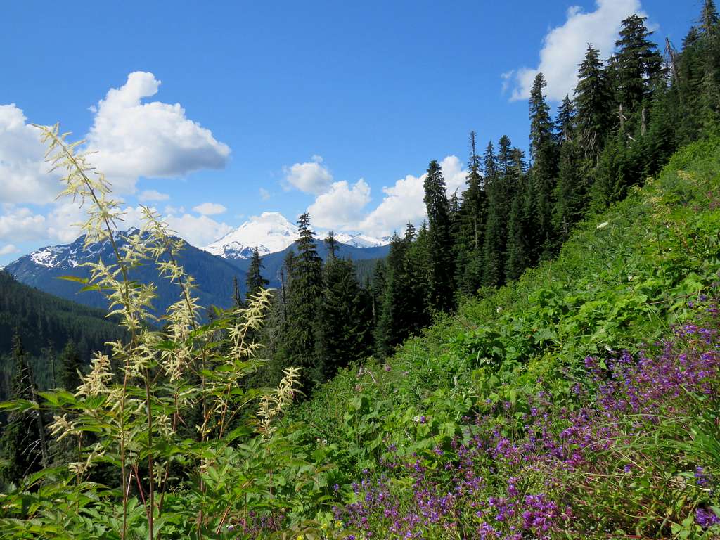
The 6241 ft high Yellow Aster Butte rises in northern Washington State’s Mt. Baker-Snoqualmie National Forest 3 miles south of the Canadian border. A trail starts at an elevation of 3700 ft and goes 4.1 miles to reach the summit. From the top of Yellow Aster Butte you will have great views of the nearby jagged mountains including the 10778 ft Mt. Baker and the 9131 ft Mt. Shuksan.
Trailhead Elevation: 3700 ft
Highest Elevation Reached on this Hike: 6220 ft
Roundtrip Hiking Distance: 8.0 miles
Monday July 1, 2019
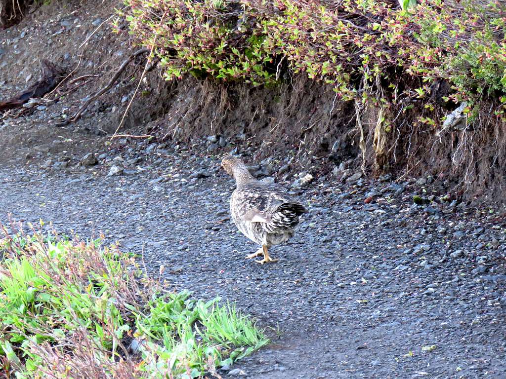
Left the vacation rental house in Warnick, WA at 4:45 a.m. and drove 15 miles west on Route 542 then turned on the dirt road Known as Twin Lakes Rd which had a few potholes but was certainly passable by sedan. After 4.5 miles, reached the trailhead. There were many cars at the trailhead, presumably belonging to people who had camped in the mountains. While I was getting ready, I saw a lone hiker starting on the trail ahead of me. I later saw him just below the summit. He was the only person I saw while hiking up the mountain.
Started my hike at 5:45 a.m. The trail made a number of switchbacks going up a grassy slope giving me great views of the rising sun over Mt. Baker.
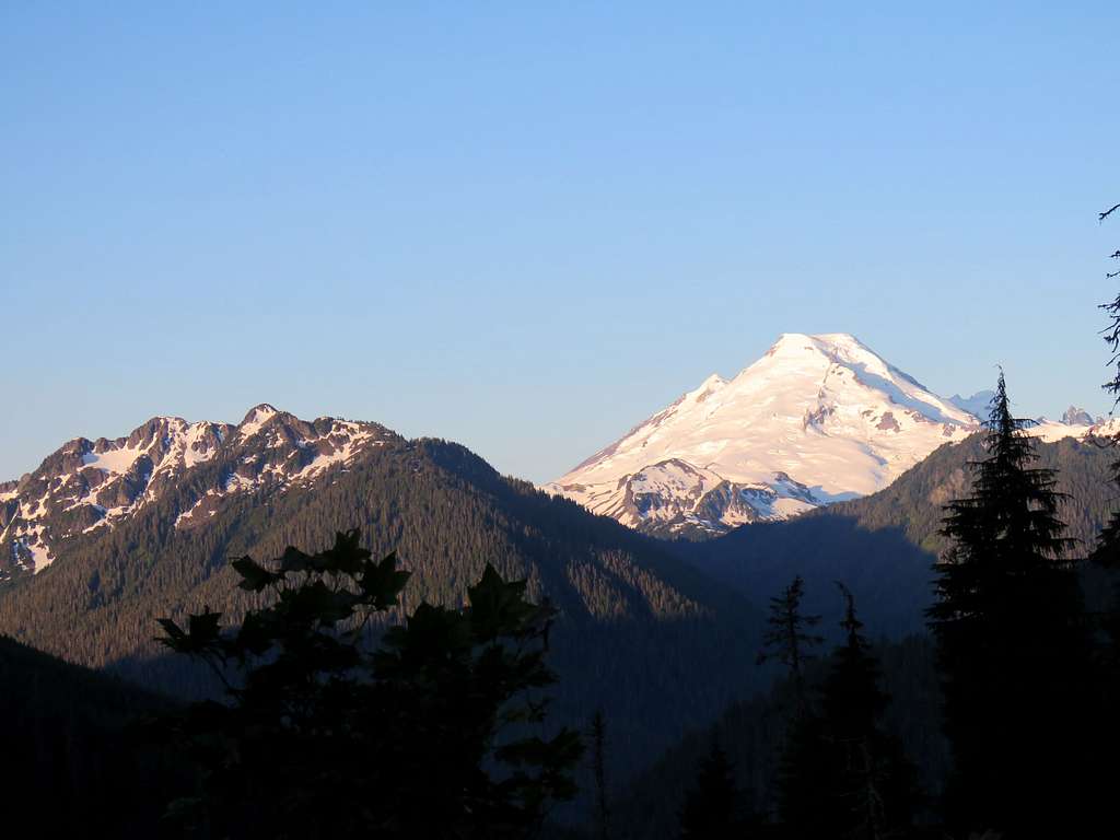
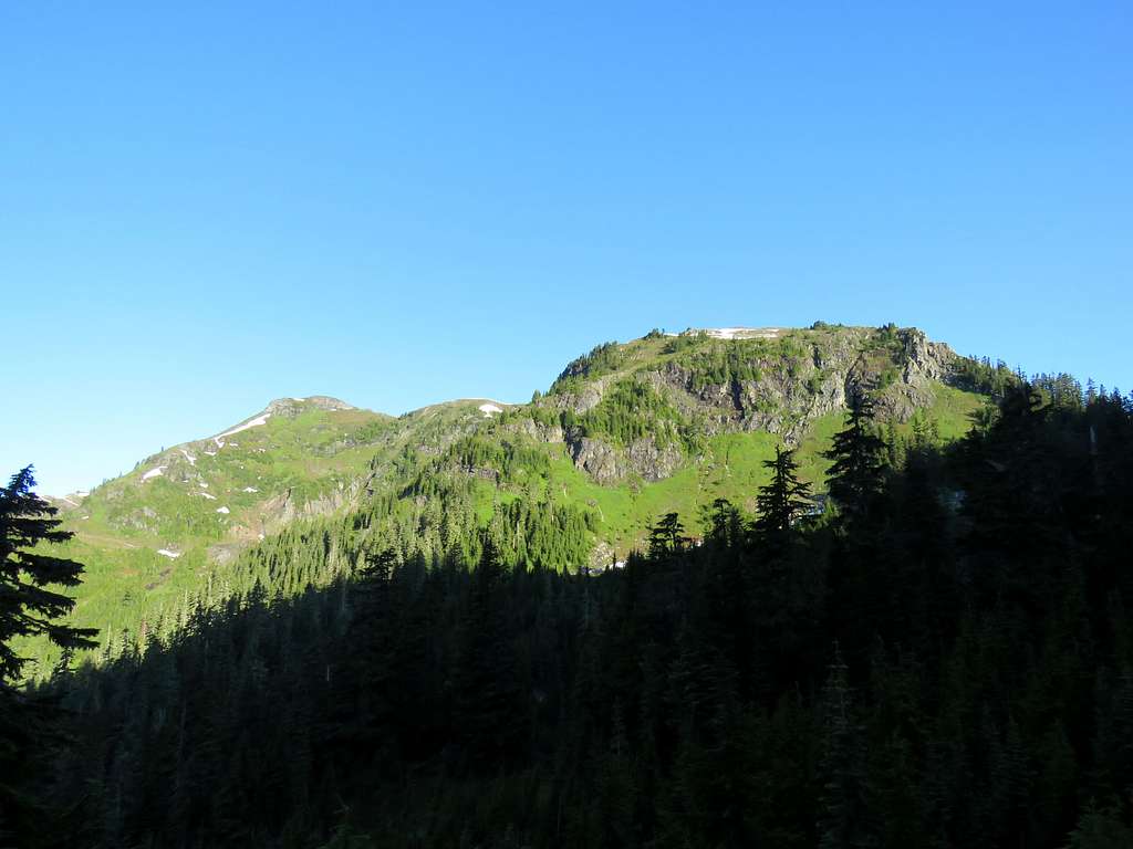
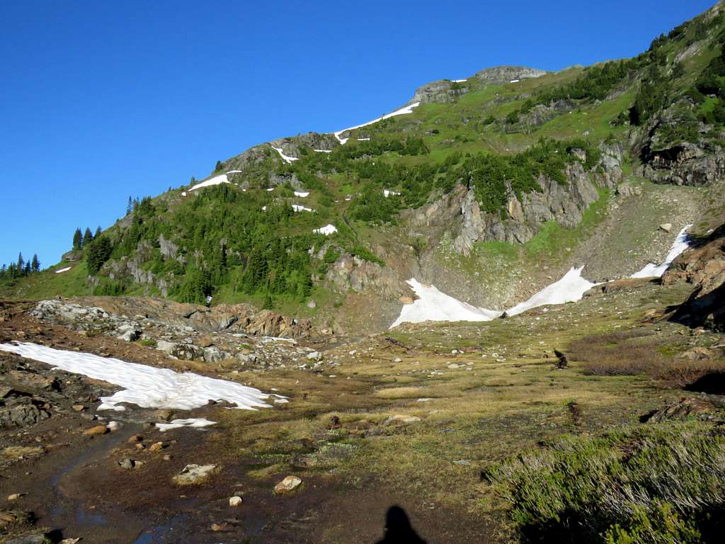
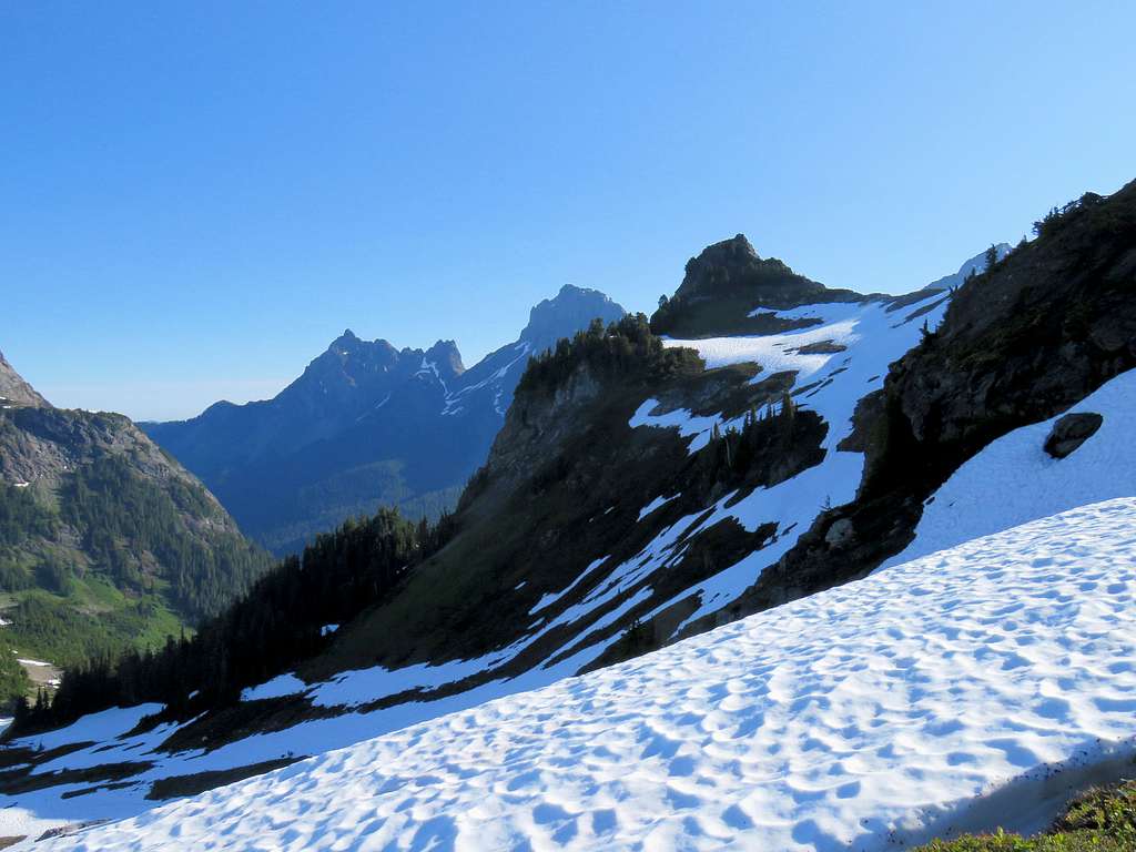
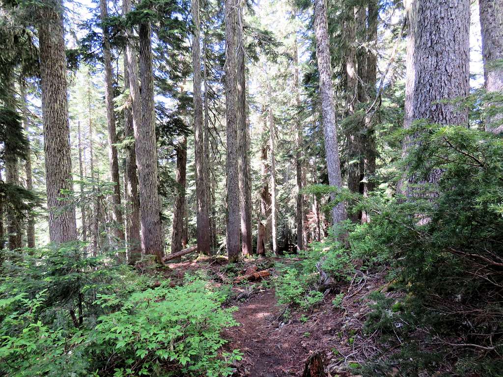
I then entered a pine forest going up the slopes steeply until at around 5200 ft elevation, where a side trail branched to go to Gold Run Pass. The forest thinned out there and the steep grade of the trail went away. Yellow aster Butte was then seen across the valley to the west. Its main summit was hiding behind a lower point in front of it.
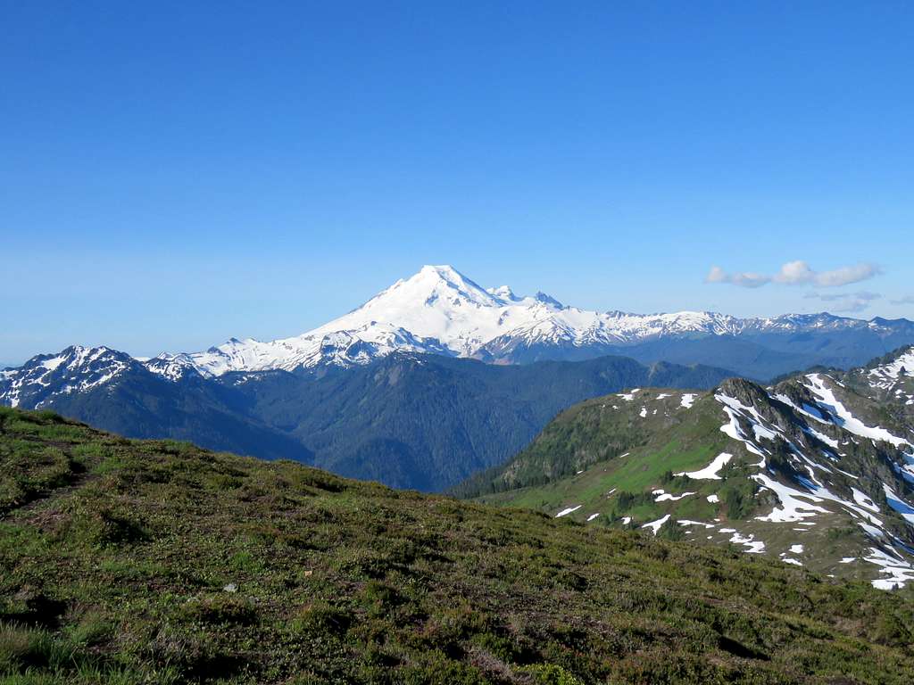
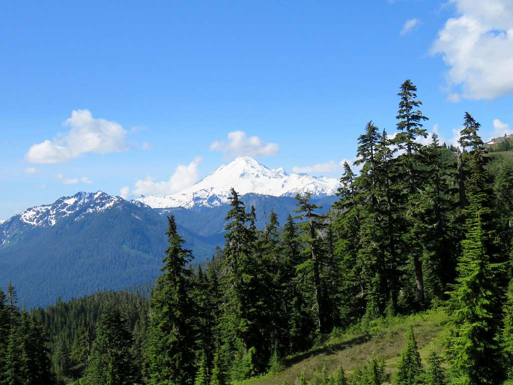
Mt. Baker and Mt. Shuksan both came to view.
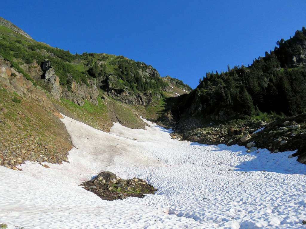
After a broad U-Turn at the end of the valley, the trail took me into the sunny side traversing the slopes of Yellow Aster Butte over a big snowfield.
Point 6220 ft to the south of the summit of Yellow Aster Butte.
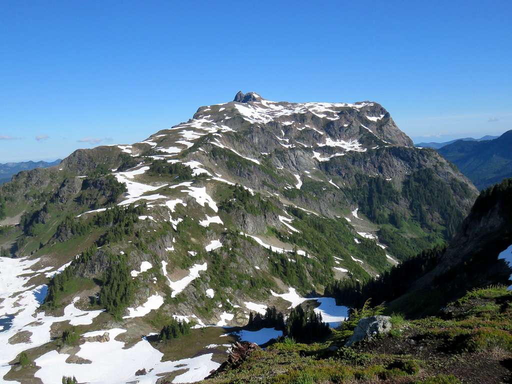
Great view of the two summits of Goat Mountain. I hade climbed the West summit the previous day.
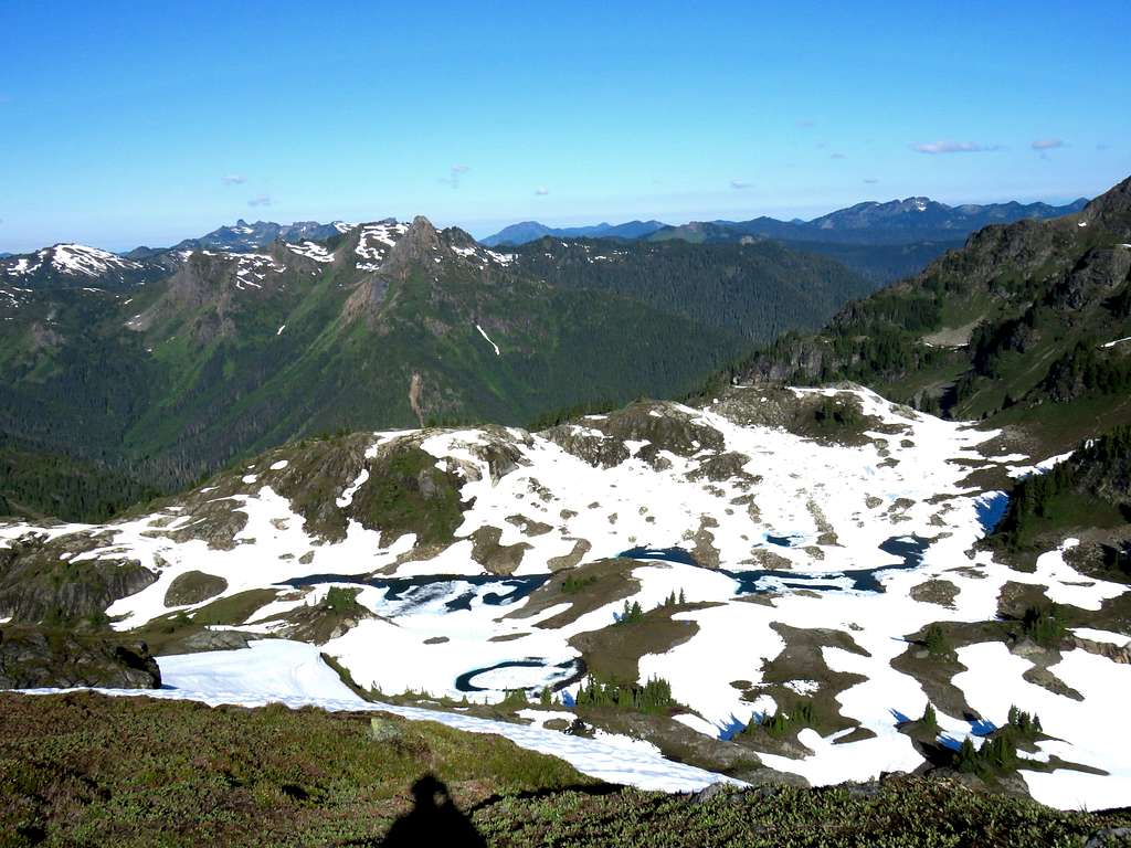
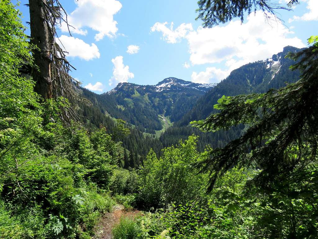
After another broad U-Turn on the trail, the beautiful Point 5933 ft and the lake filled basin below it appeared.
Was able to take its picture before it was gone.
I then reached another branch in the trail. Left went down to a basin at the base of Tomyhoi Peak and right went up toward Yellow Aster Butte. View of Yellow Aster Butte plus American Border Peak and Canadian Border Peak.
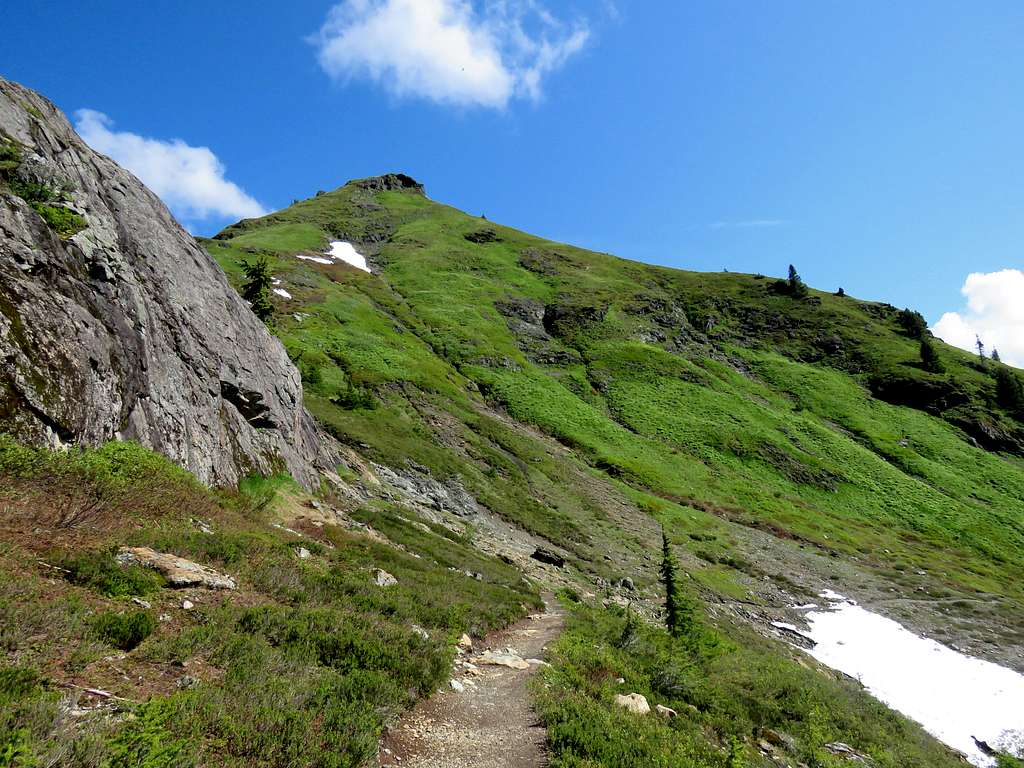
The trail went up steeply toward the top of Point 6220 ft. I was walking east looking right into the early morning sun. My face was in the bright sun requiring me to wear sunglasses but the trail was in the shade of the slope making it somewhat difficult to see where I was stepping. Got very hot and sweaty. Just before the top, I reached the guy whom I had seen at trailhead. He was walking down.
Reached the top of Point 6220 ft at 8:16 a.m. To reach the true summit, the trail seemed to go down 170 vertical feet, then up and down a small false summit. Going further did not seem to give me any better views so I decided to stay on top of Point 6220 ft. Views from the top:
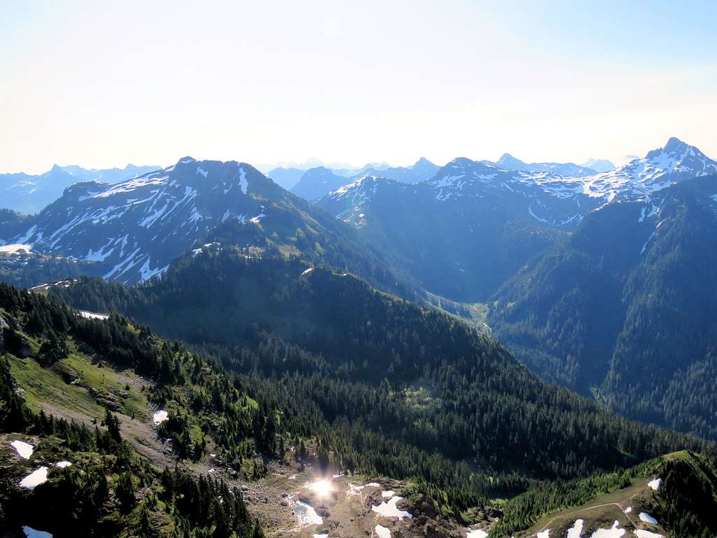
The basin below Tomyhoi Peak.
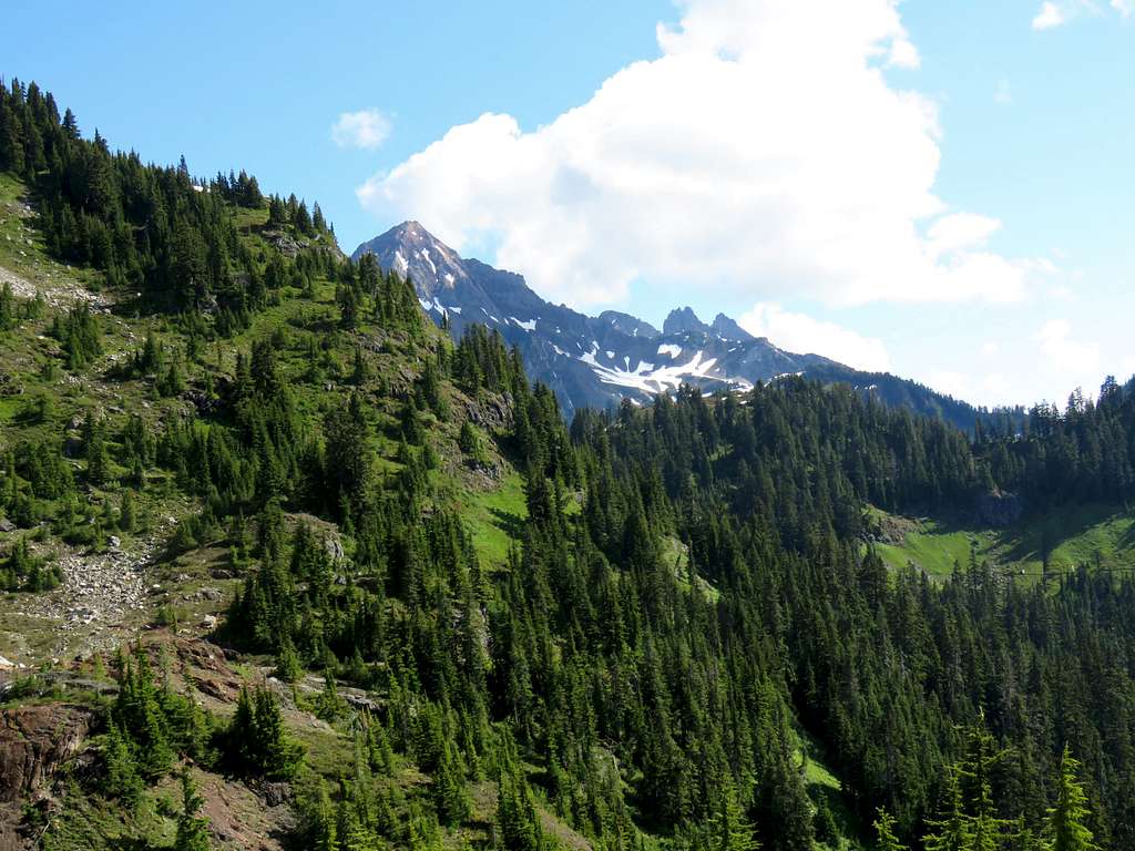
Tomyhoi Peak.
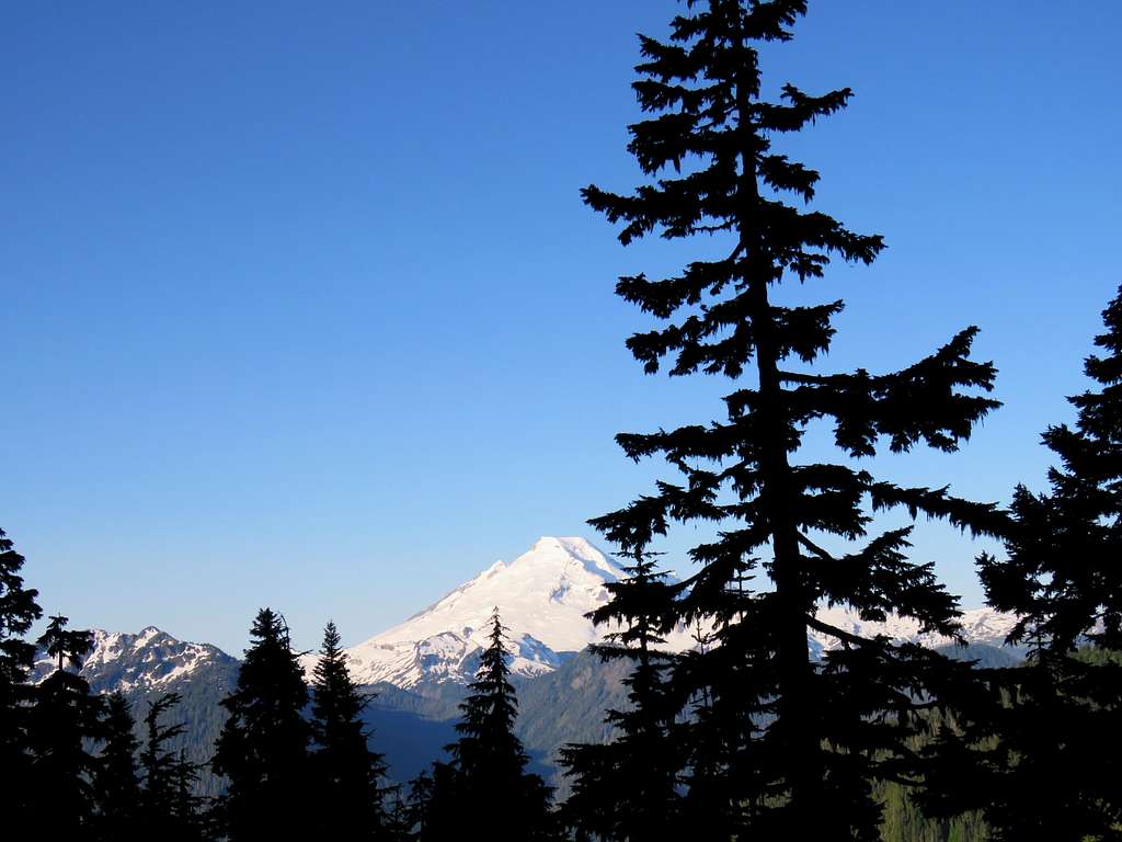
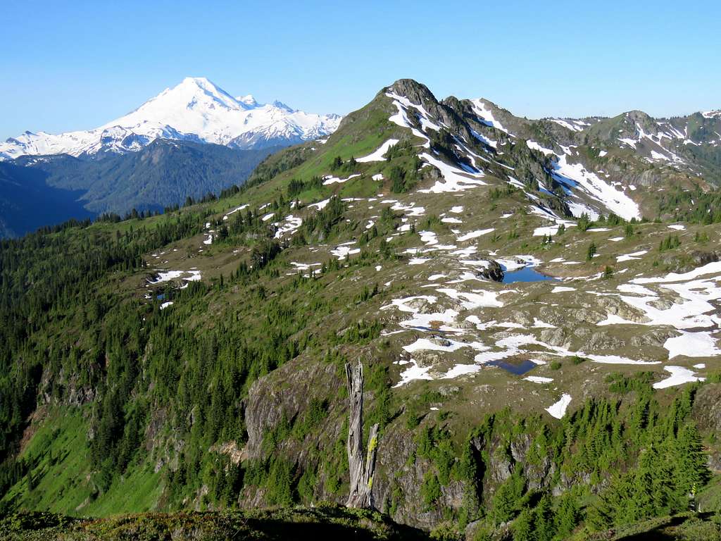
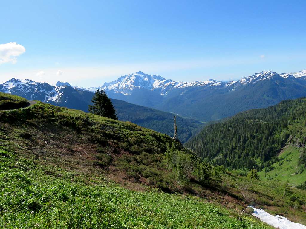
Mt. Baker.
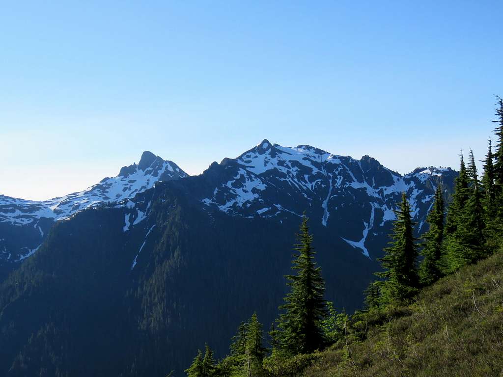
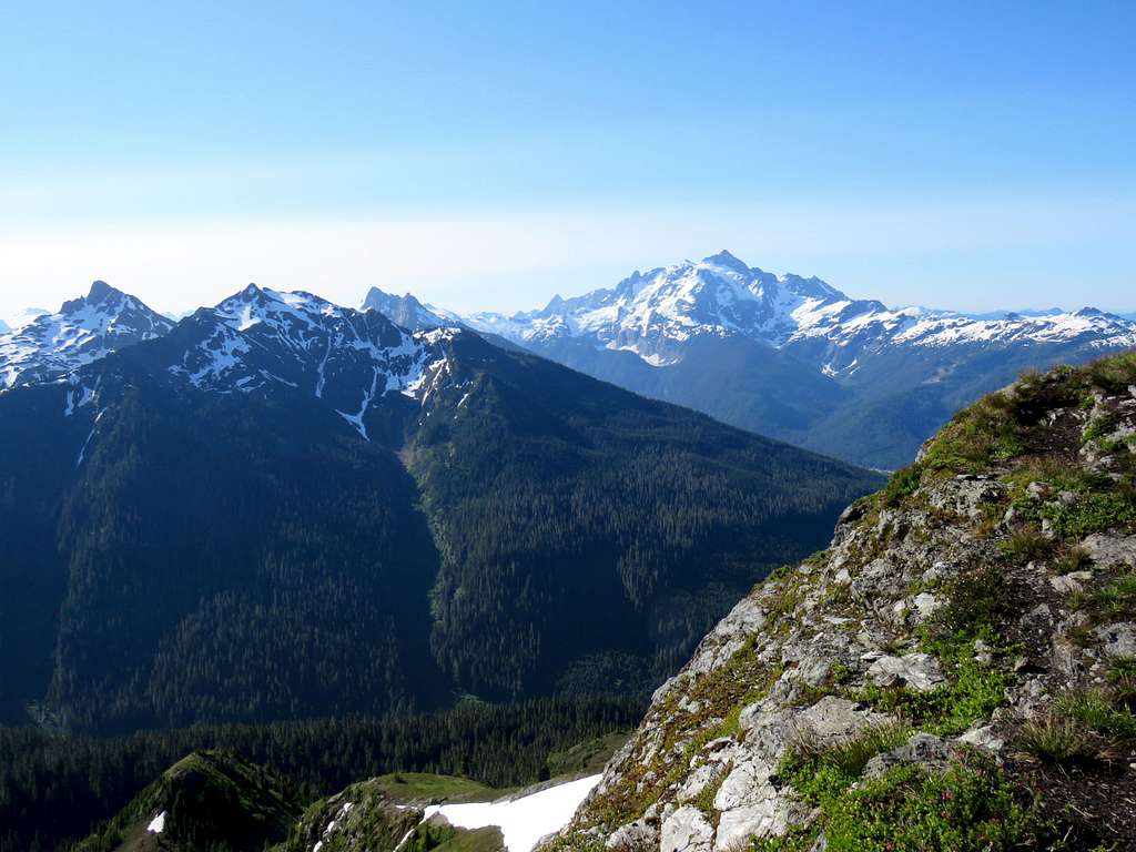
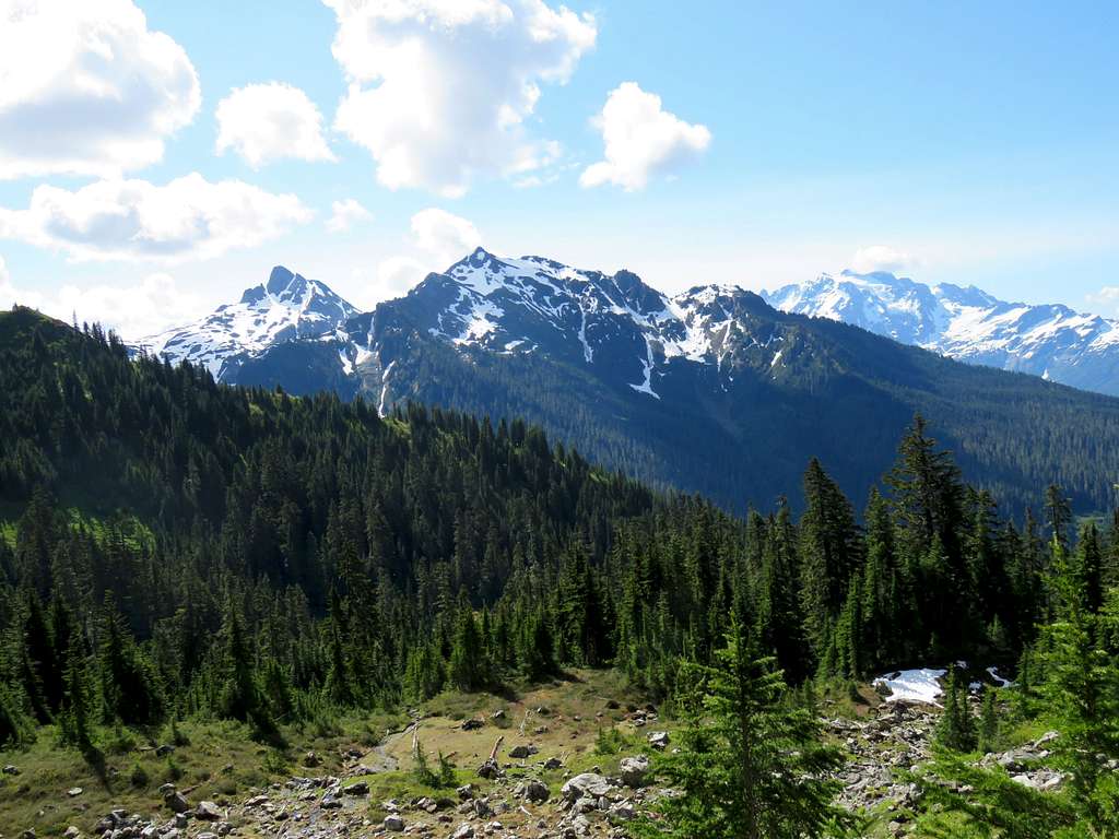
Mt. Shuksn, Mt. Sefrit and the two summits of Goat Mountain.
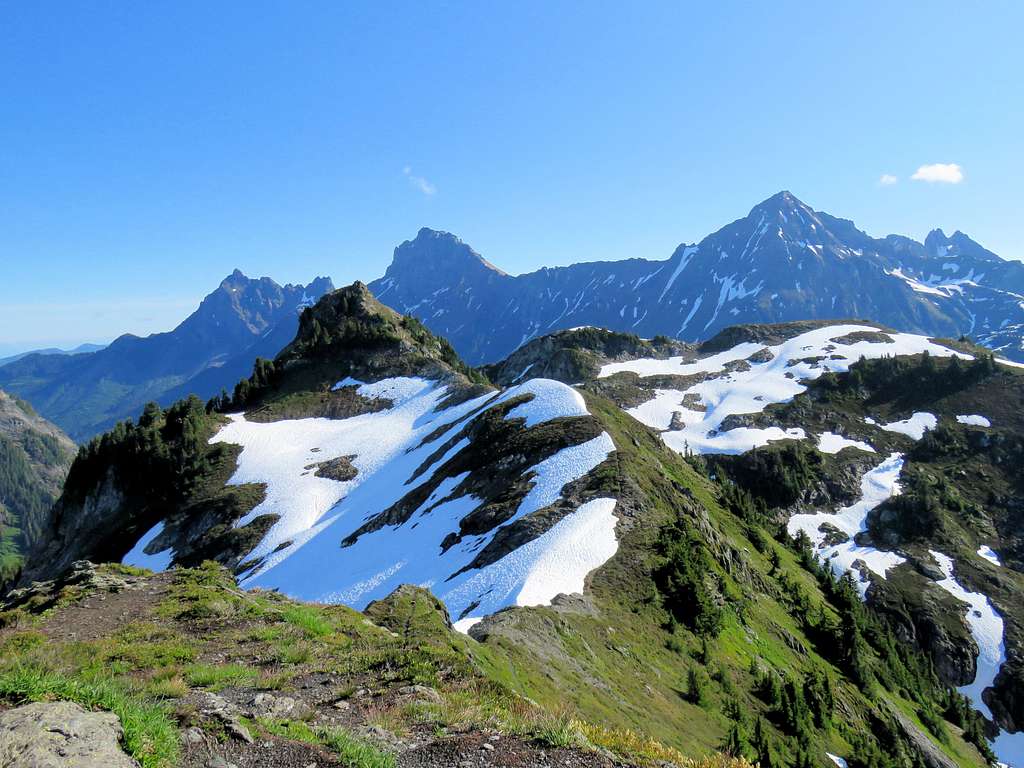
Yellow Aster Butte plus Canadian Border Peak, American Border Peak & Mt. Larrabee.
Winchester Mountain on the left.
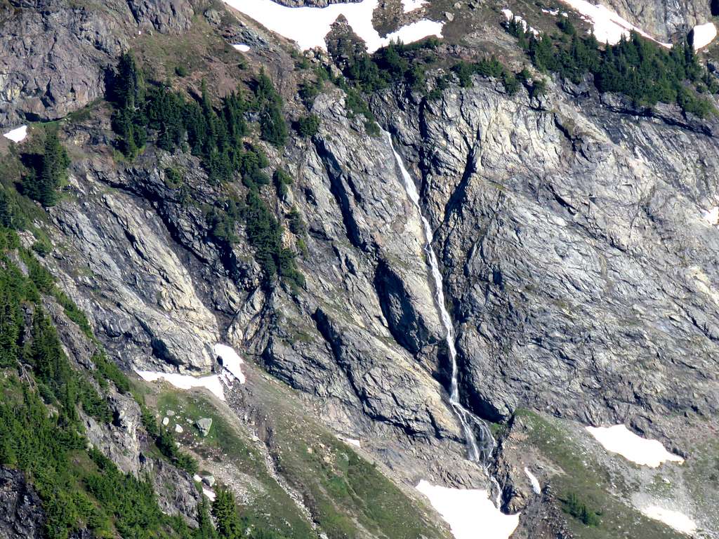
Zoomed view of a waterfall on Tomyhoi Peak.
After eating and enjoying the views, I began to go back at 8:50 a.m. At the trail junction, I reached a couple who had camped in the basin below Tomyhoi Peak and were hiking back. I talked to them some but then stopped to let them get far ahead of me. Another view of Mt. Shuksan.
Looking back up at Point 6220 ft where I had been.
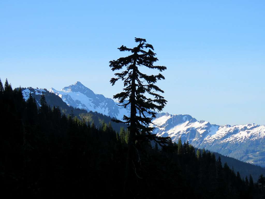
Mt. Larrabee.
Mt. Shuksan and the two summits of Goat Mountain.
Mt. Baker.
Back in the forest.
On the grassy slopes above the trailhead.
Reached my car at 11:16 a.m.