
Comments
No comments posted yet.
|
|
Trip Report |
|---|---|
|
|
45.65099°N / 122.0051°W |
|
|
Download GPX » View Route on Map |
|
|
Jul 7, 2023 |
|
|
Hiking, Mountaineering |
|
|
Summer |
The 2438 ft Hamilton Mountain rises on the north side of Columbia River near North Bonneville, Washington. A 3.2-mile trail starts at an elevation of 390 ft and takes you to Rodney and Hardy falls, then onto the summit of Hamilton Mountain.
On the day of my hike, clouds blocked the view of the high snowy peaks, but I got dramatic shots of Columbia River, lower nearby peaks and the cliffs of Hamilton Mountain.
Trailhead Elevation: 390 ft
Summit of Hamilton Mountain: 2438 ft
Hiking Distance: 6.4 miles
Distance to Rodney Falls: 1.3 miles
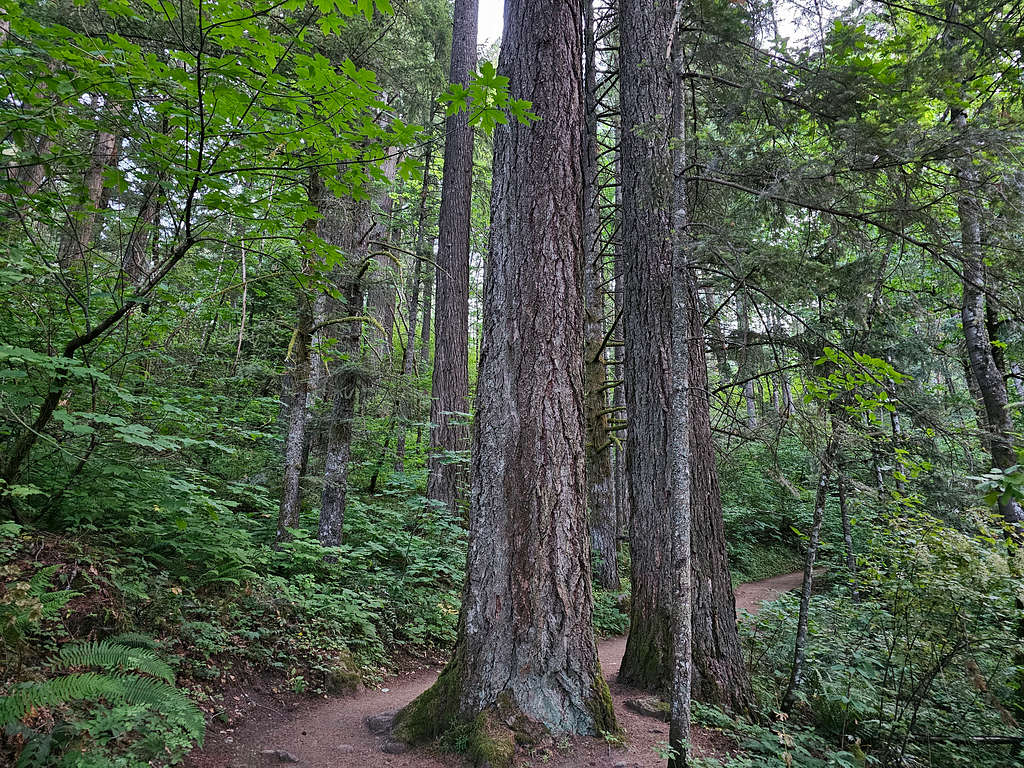
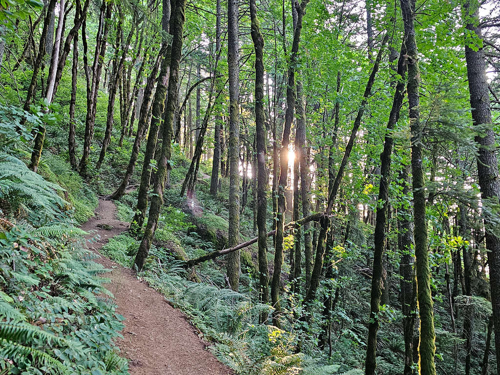
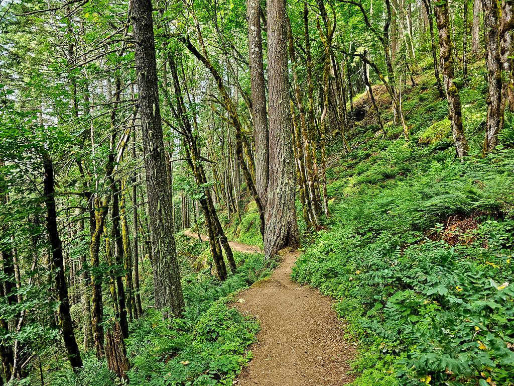
It was 5:40 AM when I started my hike at Hamilton Mountain Trailhead (390 ft elevation). No one was there and I did not see anyone until I was back halfway down the mountain. The trail went into a beautiful forest that was still rather dark.
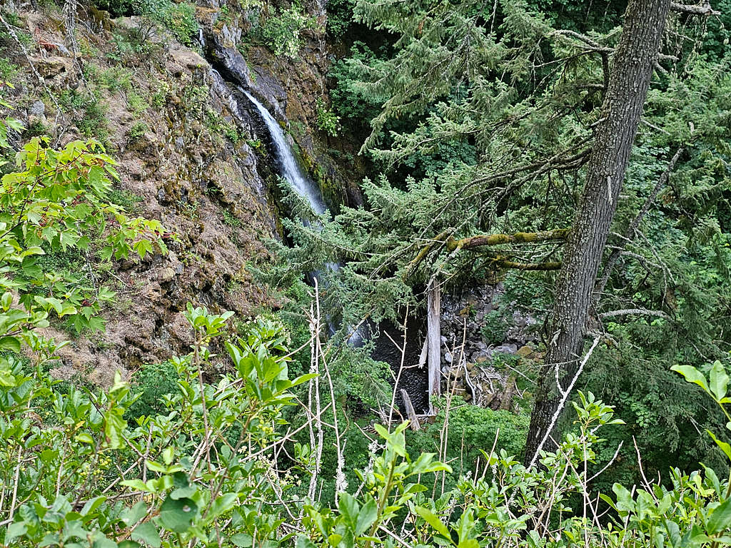
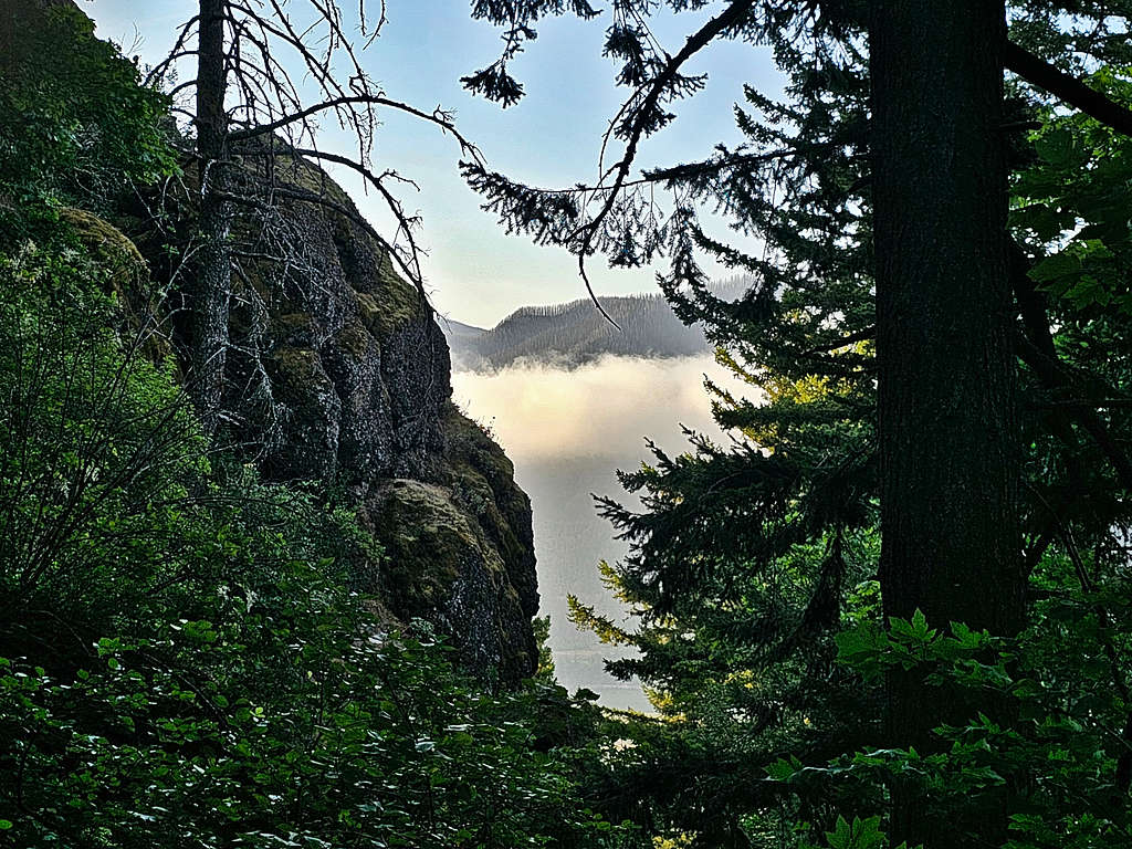
Continued in the forest until at 1.1 miles and 860 ft elevation, I reached a spur trail that took me a little down to a spot where I got a view of Hardy Falls.
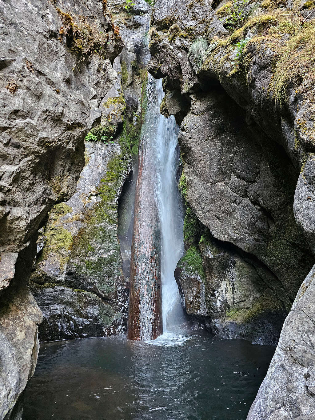
Back to the main trail and was soon at the base of Rodney Falls.
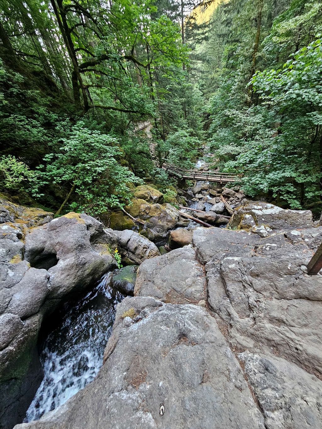
Cascades below Rodney Falls and boardwalk over the river.
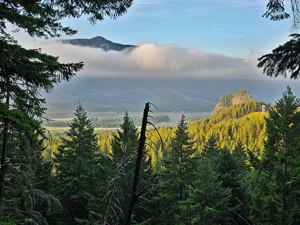
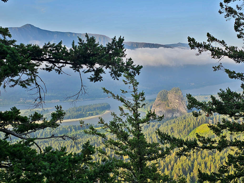
Went down to the boardwalk and then continued the trail in the forest. At one point, I got a glimpse of Beacon Rock, Columbia River and Nesmith Point.
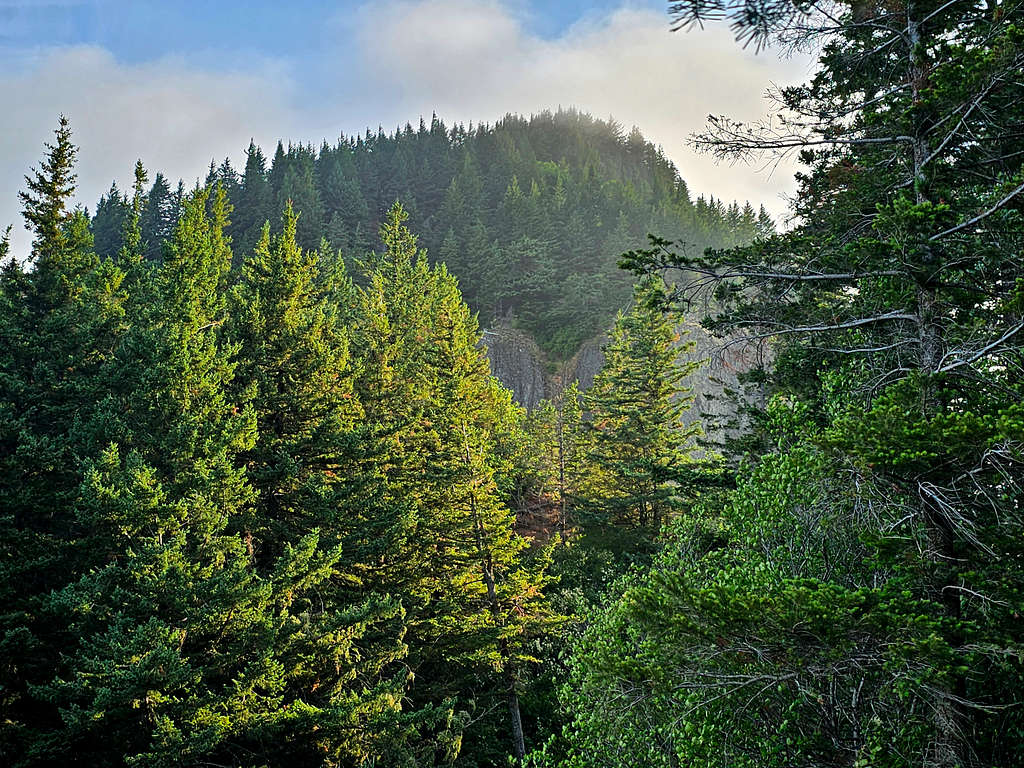
The trail began to make switchbacks in the forest going up steeply.
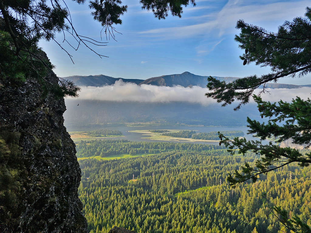
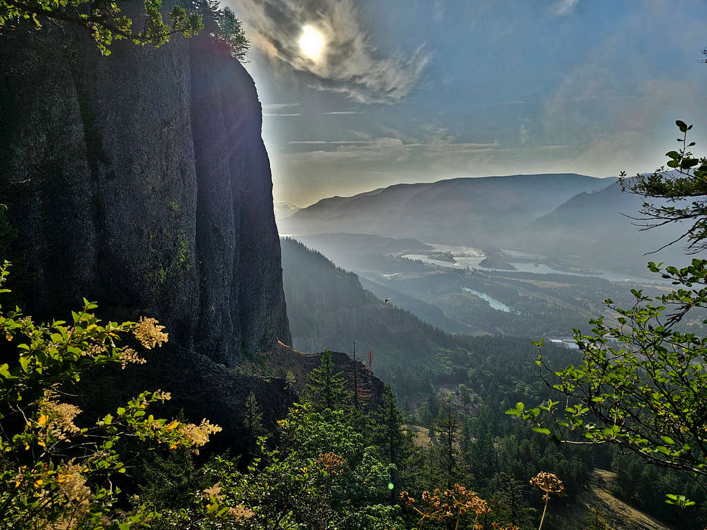
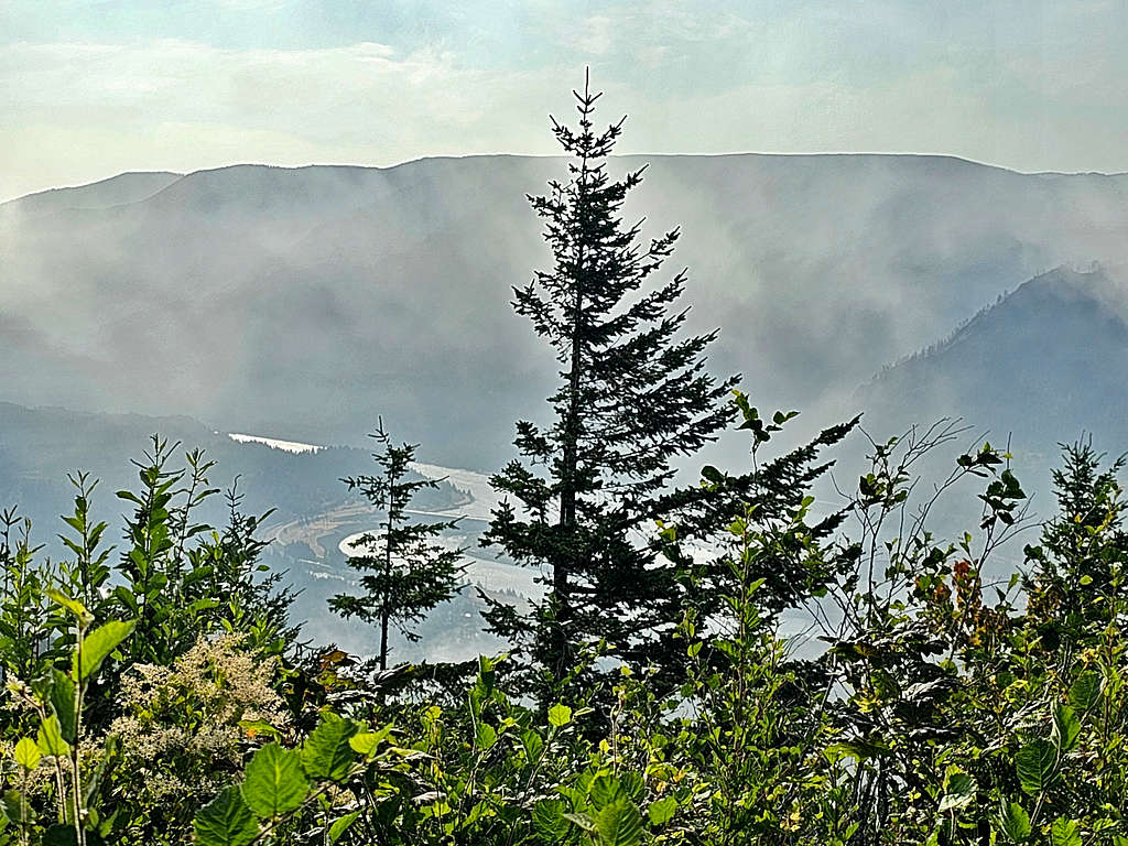
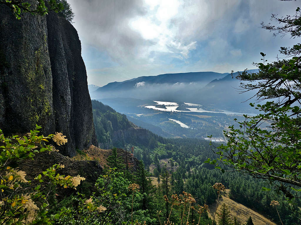
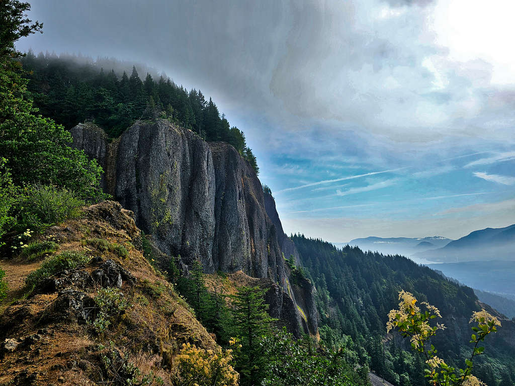
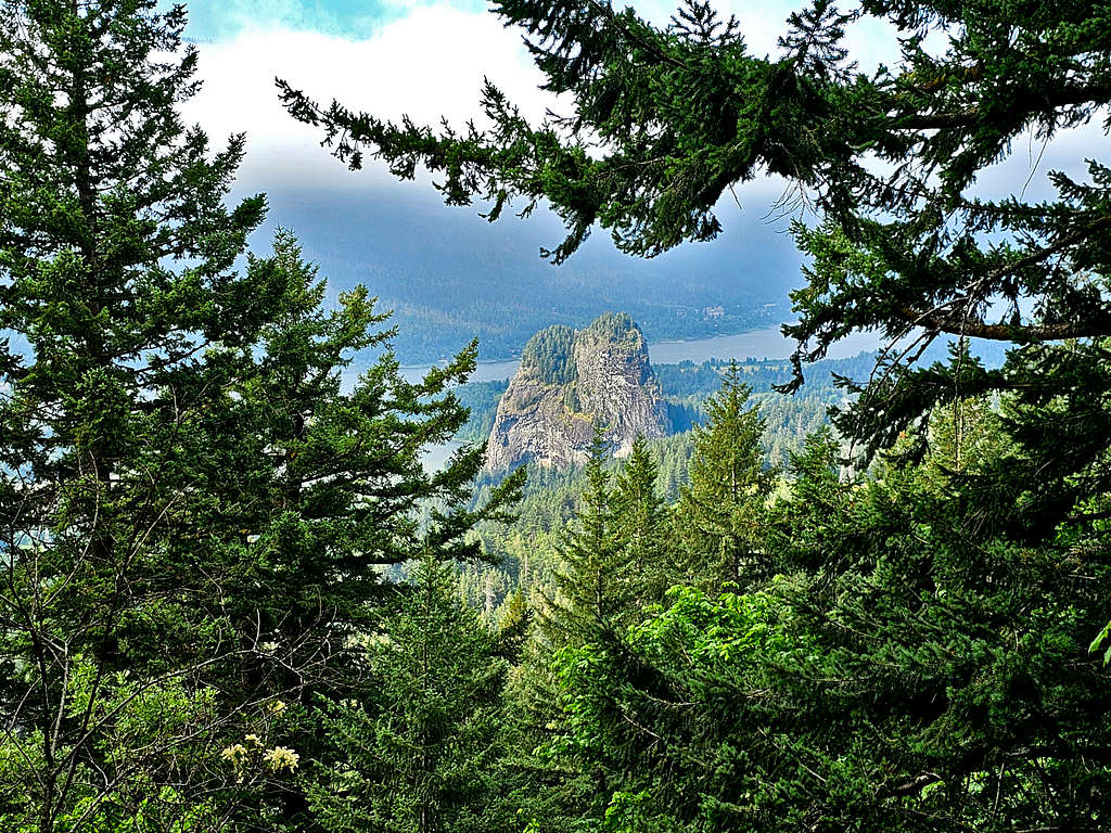
More occasional views of the cliffs of Hamilton Mountain, Columbia River, Beacon Rock and Nesmith Point.
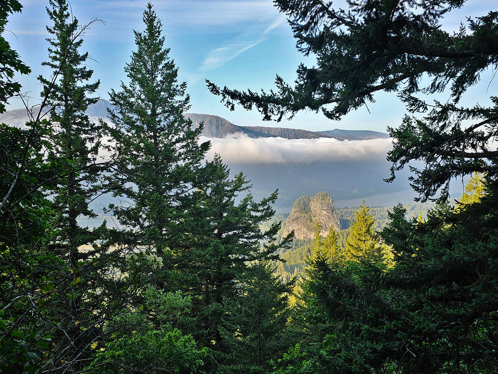
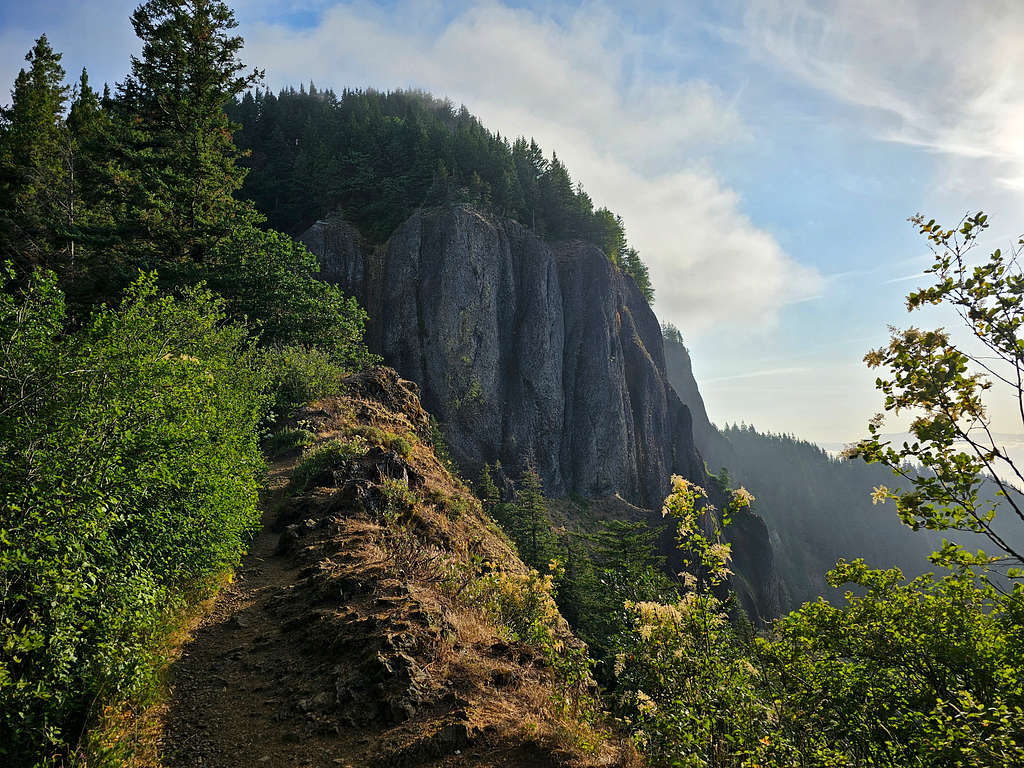
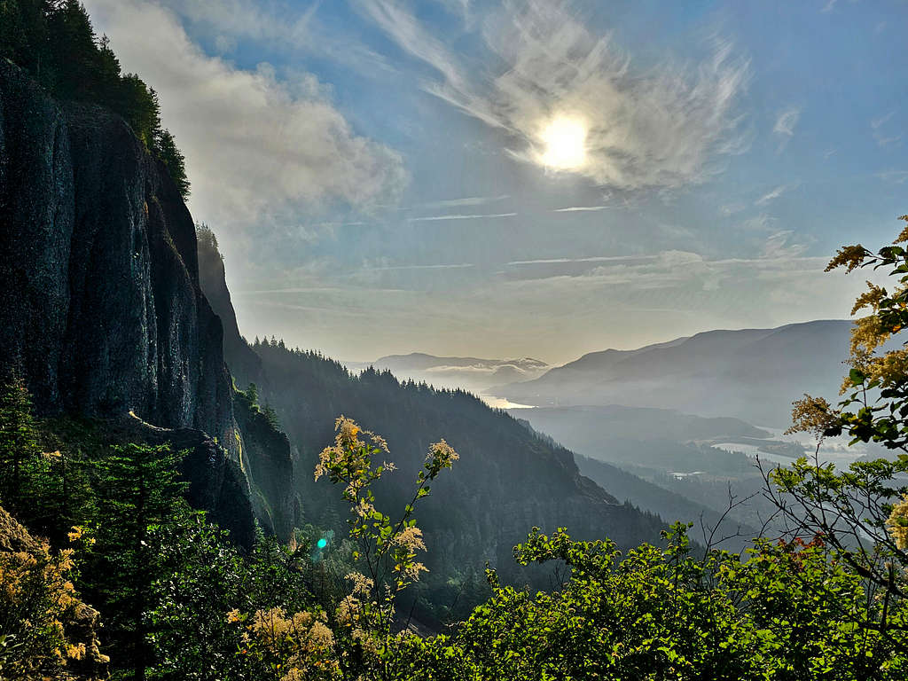
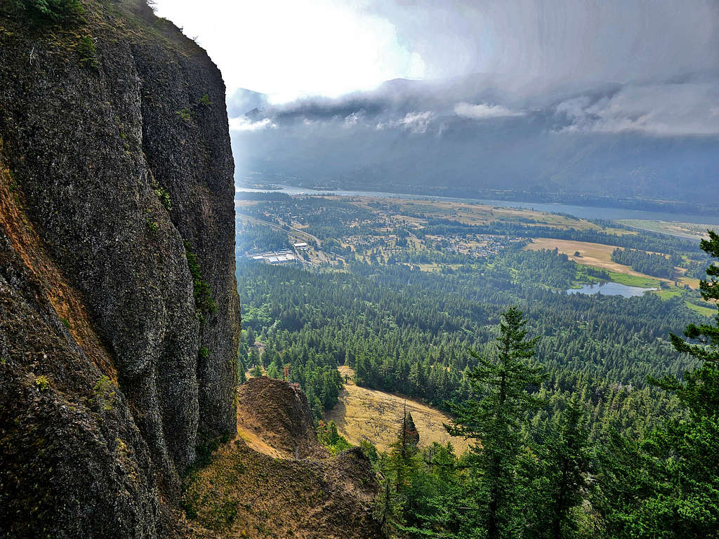
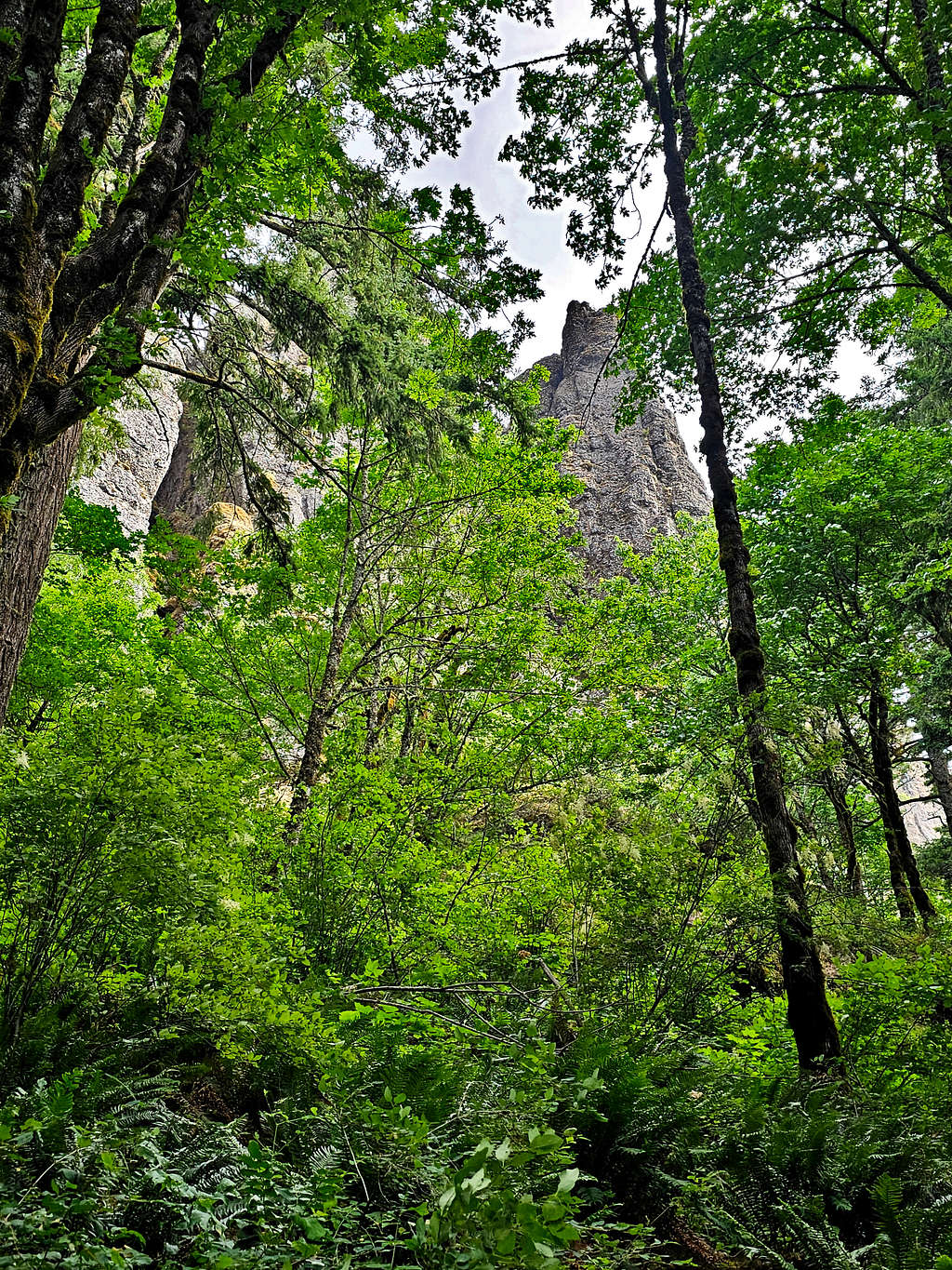
At 1600 ft elevation, I was near the crest of a rocky ridgeline where the summit of Hamilton Mountain came to view.
Dramatic views of Columbia River and the cliffs of Hamilton Mountain.
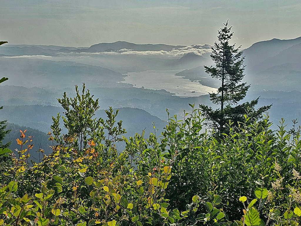
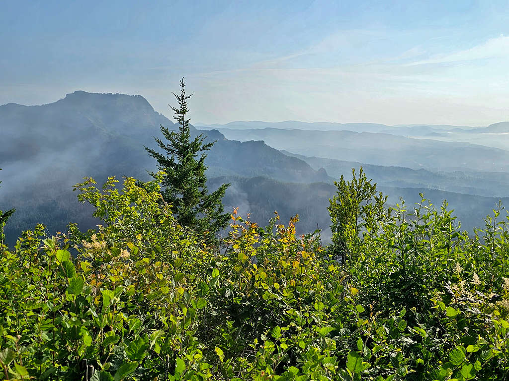
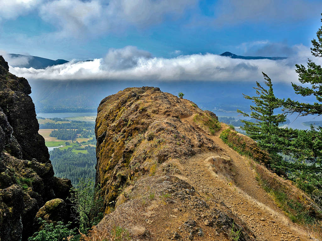
The trail went into the forest again and made more switchbacks until I reached the summit at 7:51 AM. Kind of anticlimactic. No view of the tall snowy peaks due to the clouds, not even Mt. Hood. Bushes up to my chest and no good place to sit. Sat on the fine dirt below the bushes to eat. The dirt stuck to my pants and backpack, and I had a hard time removing it. As the clouds moved, on and off, I got views of Columbia River and Table Mountain.
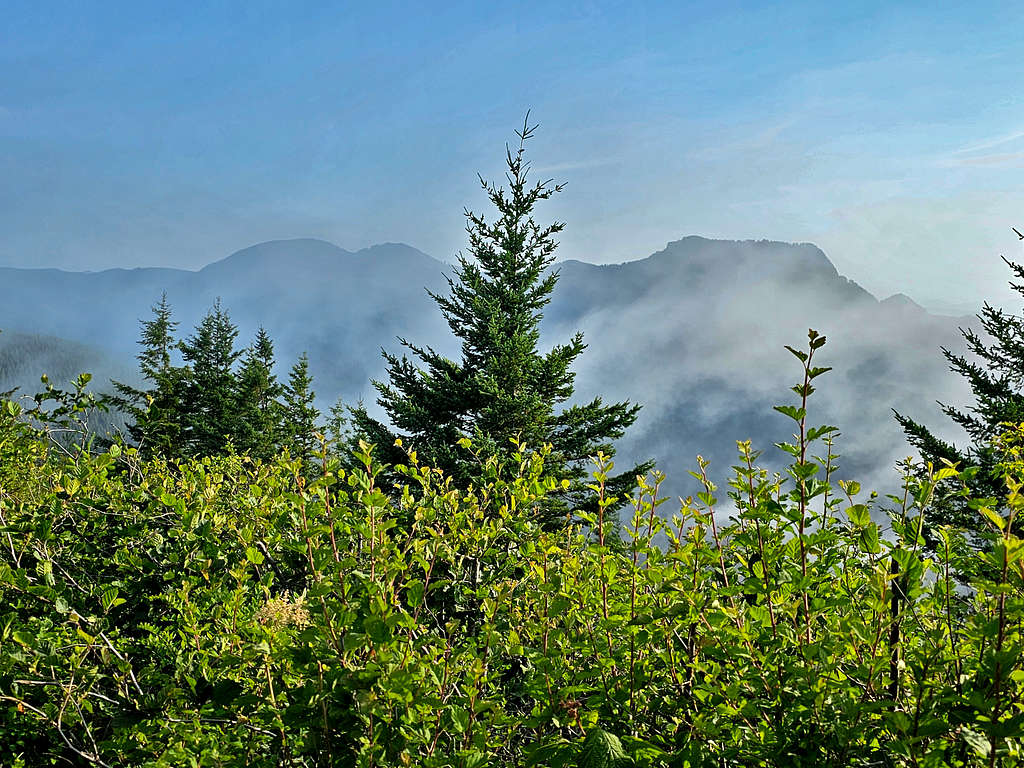
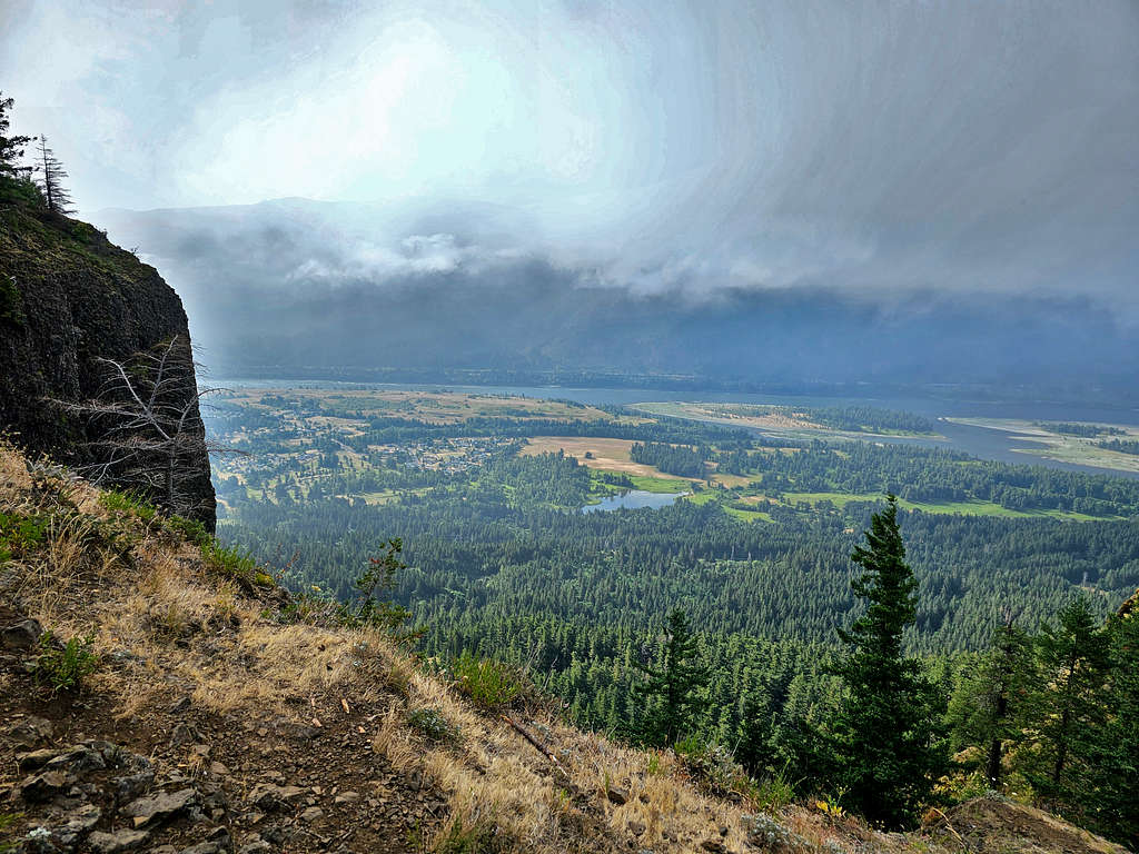
Left at 8:25 AM going down the way I had come up. For a while, I was walking in fog but then it cleared. Views of the river.
Below the cliffs.
Beacon Rock.
Ran into a few people who were walking up. Back into the forest.
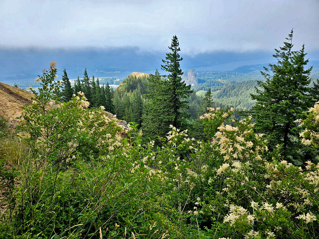
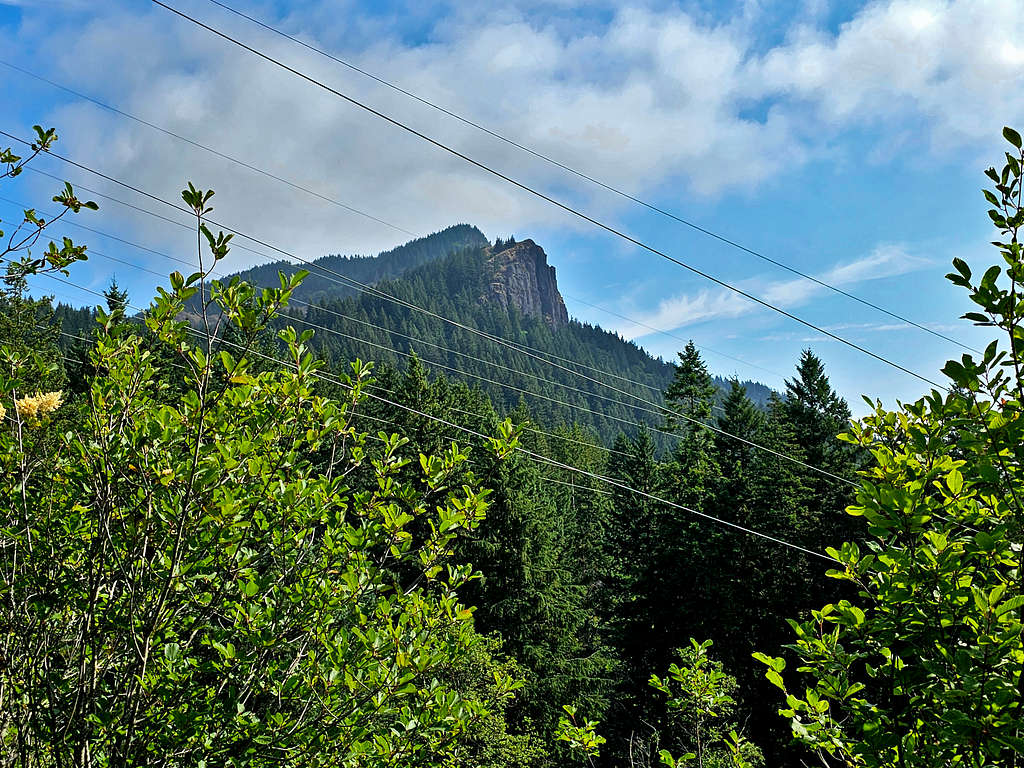
There were people at the waterfalls. Not far from the trailhead, I got a great view of Hamilton Mountain. Must have been hidden in the clouds in the morning.
Reached my car at 10:02 AM.