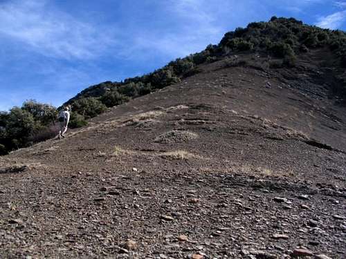
Hines Peak (Ventura County, CA)
Does anyone have good, recent information on the route(s) up Hines Peak in the Topatopa Range near Ojai/Santa Paula?
Via phone, the Ranger at the Los Padres NF in Ojai was deliberately (?) vague regarding a trail up Hines, but I think he was thinking of an official, maintained trail.
Is there an advantage to starting in Santa Paula/Sisar Avenue TH vs. a route from the north?
Thanks in advance. It'll be just me, no 13yo kids setting youngest-to-do-this-or-that records . I'm looking for mid-May. I don't mind a 20-mile hike but if I can knock off a few of the boring road miles with my truck, then I would consider it.
Via phone, the Ranger at the Los Padres NF in Ojai was deliberately (?) vague regarding a trail up Hines, but I think he was thinking of an official, maintained trail.
Is there an advantage to starting in Santa Paula/Sisar Avenue TH vs. a route from the north?
Thanks in advance. It'll be just me, no 13yo kids setting youngest-to-do-this-or-that records
