

Viewing: 1-4 of 4

seth@LOKI - Apr 3, 2008 11:43 pm - Voted 10/10
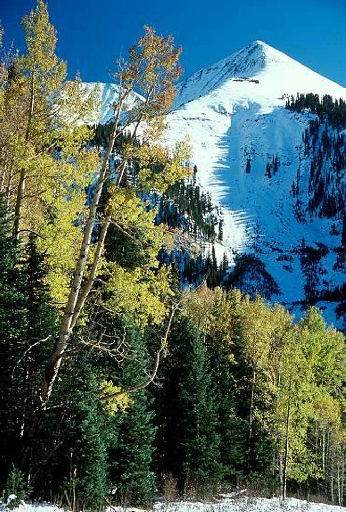
The Peak in this photo is Tuk NoTuk No is a sub-peak of Tukuhnikivatz which is the Peak in view to the left through the trees.
Exxon apparently tried to drill right here. The face shown here is called Exxon's Folley in a Utah BC Ski book.
I wouldn't know this either but I just skied Tuk No and down this run just last weekend. At least you care enough to guess!!! Just thought I'D SHARE.
sETH

46and2 - Apr 13, 2008 11:53 pm - Hasn't voted
Re: The Peak in this photo is Tuk NoThanks for the beta. I hopped on google earth and sure enough, Tuk is way back there. I hate being wrong but am actually getting used to it by now.
seth@LOKI - Apr 3, 2008 11:44 pm - Voted 10/10
AND nice photo!
seth@LOKI - Apr 18, 2008 11:08 am - Voted 10/10
naa, I'm wrong all the time!but it's fun that you care enough to try to outline what peak is what. It's trivia(l).
Seth
Viewing: 1-4 of 4


Comments
Post a Comment