
Viewing: 1-2 of 2

hgrapid - Sep 25, 2004 2:35 pm - Voted 8/10
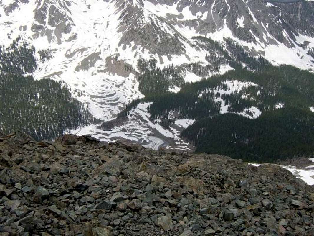
Williams Lake RouteAlan, when you get to the Williams Lake route, where you climb the 2000 feet to the summit ridge, is the route pretty clear, or might you run into rock slides or class 4/5 stuff? I like finding my own way up mountain ridges, like I did in the Clark's Arrow route, where we climbed up to the ridge between Meeker and Longs.

Alan Ellis - Sep 25, 2004 10:13 pm - Hasn't voted
Re: Williams Lake RouteThere is a faint climber's trail and there is loose scree in sections. I wouldn't worry about rock slides and it never gets harder than class 2. Remember, though, the route doesn't actually climb Wheeler. It climbs the slope with leads to the saddle between Wheeler and Walter. It's only a short hike to the summit of Wheeler from the saddle.
Viewing: 1-2 of 2


Comments
Post a Comment