Toggle navigation
Mountains
Routes
Images
Trip Reports
Forum
What's New
People
Areas & Ranges
Articles
Trailheads
Canyons
Huts & Campgrounds
Albums
Logistical Centers
Fact Sheets
Lists
Custom Objects
Gear
Plans & Partners
WELCOME TO SUMMITPOST
SIGN IN
REGISTER
NCT MI-02 | Yankee Springs Recreation Area (south) - 2010
Additional Parents
Hall Lake Trail | Yankee Springs Recreation Area - 2010
Image
20100828 1220 NCT-HLT
View High-Resolution Image
20100828 1220 NCT-HLT
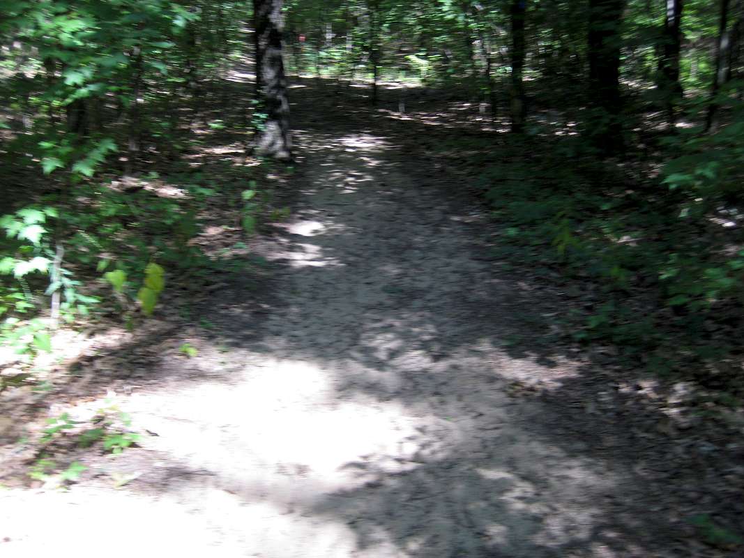
-->ND/CCW: I took this picture to show that the trail at this point (climbing Graves Hill) is sand. Essentially, much of western Michigan is an ancient sand dune - and that's definitely the case in Yankee Springs.
« PREV
NEXT »
Chinigo
on
May 26, 2011 6:13 pm
Comments & voting
Other parents
Lat/Lon:
42.62000°N / 85.48°W
Image Type(s):
Hiking
,
Informational
,
Scenery
Image ID:
718384
1064 Hits
0
% Score
0
Votes
Log in to vote
Comments
No comments posted yet.
to post!
Don't have an account?
NCT MI-02 | Yankee Springs Recreation Area (south) - 2010
(Album)
« PREV
Viewing
#19 of 39
GALLERY
NEXT »
Chinigo's Image Gallery
« PREV
Viewing
#847 of 1187
GALLERY
NEXT »
Hall Lake Trail | Yankee Springs Recreation Area - 2010
(Album)
Loading....
×
You need to login in order to vote!
User Name
Password
Remember me
Forgot your password?
Log me out when I close my browser.
Keep me logged in all the time.
sign in as a user
Don't have an account?
Register now for FREE
Rating available
Suggested routes for you
People who climb the same things as you
Comments Available
Create Albums
Register Here


